Cnoc Glas Beag
Hill, Mountain in Ross-shire
Scotland
Cnoc Glas Beag
Cnoc Glas Beag is a hill located in Ross-shire, Scotland. It is part of the larger Cnoc Glas mountain range, which is known for its rugged terrain and stunning views of the surrounding countryside. The hill stands at an elevation of approximately 384 meters (1,260 feet) above sea level.
Cnoc Glas Beag is a popular destination for hikers and outdoor enthusiasts, offering a challenging but rewarding climb to the summit. The hill is characterized by its rocky outcrops and heather-covered slopes, providing a diverse and picturesque landscape for visitors to explore.
From the top of Cnoc Glas Beag, on a clear day, visitors can enjoy panoramic views of the surrounding countryside, including the nearby villages of Ross-shire and the shimmering waters of the nearby lochs. The hill is also home to a variety of wildlife, including red deer, mountain hares, and a variety of bird species.
Overall, Cnoc Glas Beag is a beautiful and scenic destination for those looking to experience the natural beauty of the Scottish Highlands. Visitors can enjoy a challenging hike to the summit and take in the breathtaking views of the surrounding landscape.
If you have any feedback on the listing, please let us know in the comments section below.
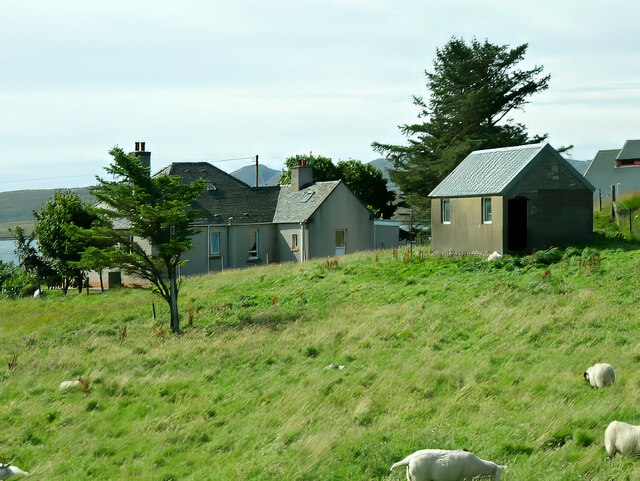
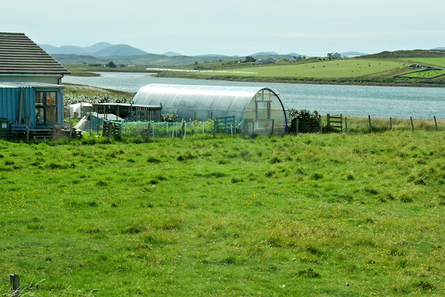
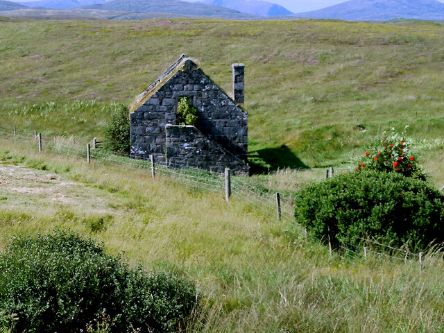
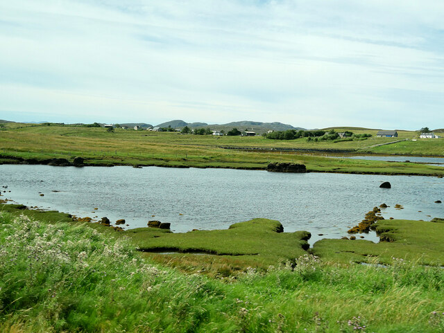
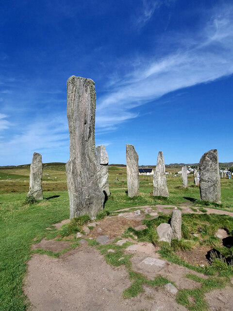
Cnoc Glas Beag Images
Images are sourced within 2km of 58.209388/-6.732406 or Grid Reference NB2234. Thanks to Geograph Open Source API. All images are credited.

Cnoc Glas Beag is located at Grid Ref: NB2234 (Lat: 58.209388, Lng: -6.732406)
Unitary Authority: Na h-Eileanan an Iar
Police Authority: Highlands and Islands
What 3 Words
///frost.means.deranged. Near Carloway, Na h-Eileanan Siar
Nearby Locations
Related Wikis

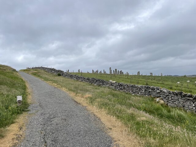
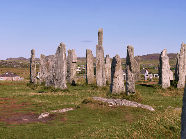
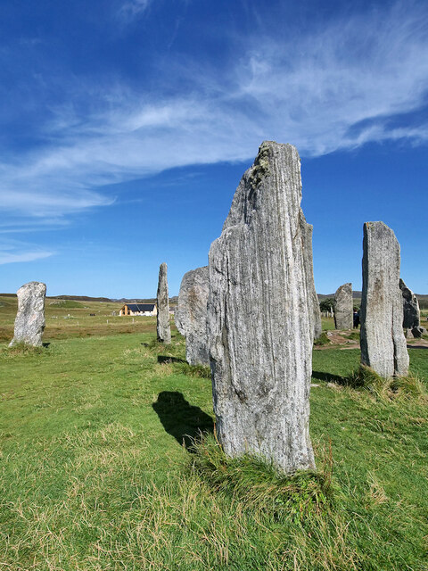
Callanish X
The Callanish X stone circle (or "Na Dromannan", "Druim Nan Eun") is one of many megalithic structures around the more well-known and larger Calanais I...

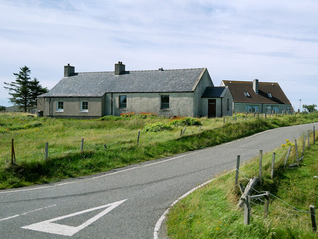
Breasclete
Breasclete (Scottish Gaelic: Brèascleit) is a village and community on the west side of the Isle of Lewis, in the Outer Hebrides, Scotland. Breasclete...

Callanish
Callanish (Scottish Gaelic: Calanais) is a village (township) on the west side of the Isle of Lewis, in the Outer Hebrides (Western Isles), Scotland. Callanish...

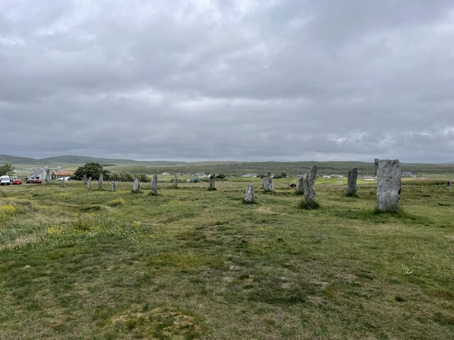
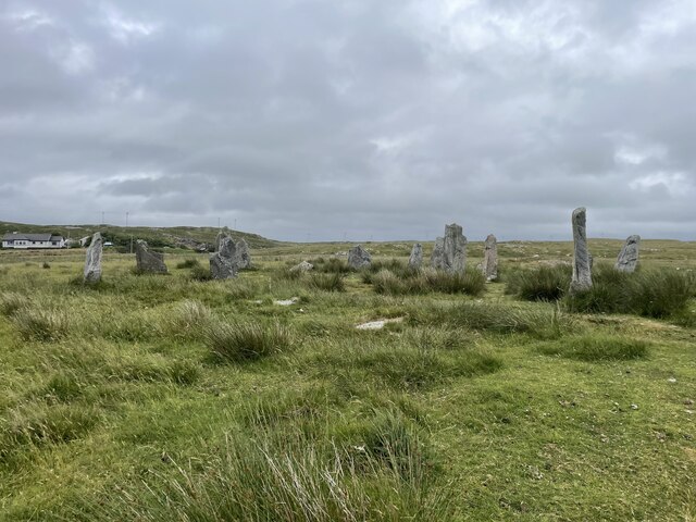
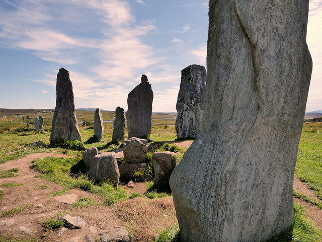
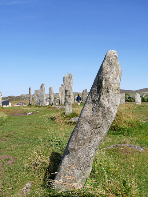
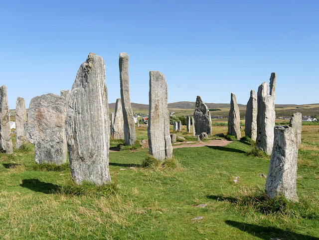
Callanish Stones
The Callanish Stones (or "Callanish I": Scottish Gaelic: Clachan Chalanais or Tursachan Chalanais) are an arrangement of standing stones placed in a cruciform...
Nearby Amenities
Located within 500m of 58.209388,-6.732406Have you been to Cnoc Glas Beag?
Leave your review of Cnoc Glas Beag below (or comments, questions and feedback).