Loch Bharabhat
Lake, Pool, Pond, Freshwater Marsh in Ross-shire
Scotland
Loch Bharabhat
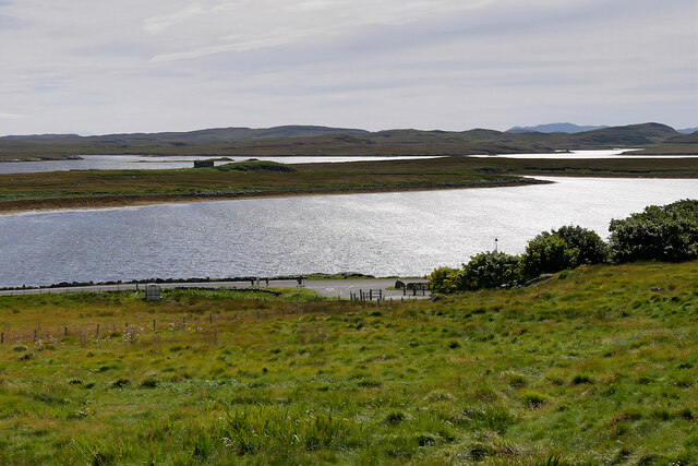
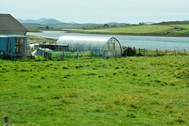
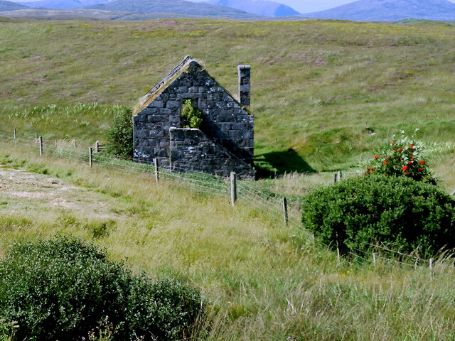
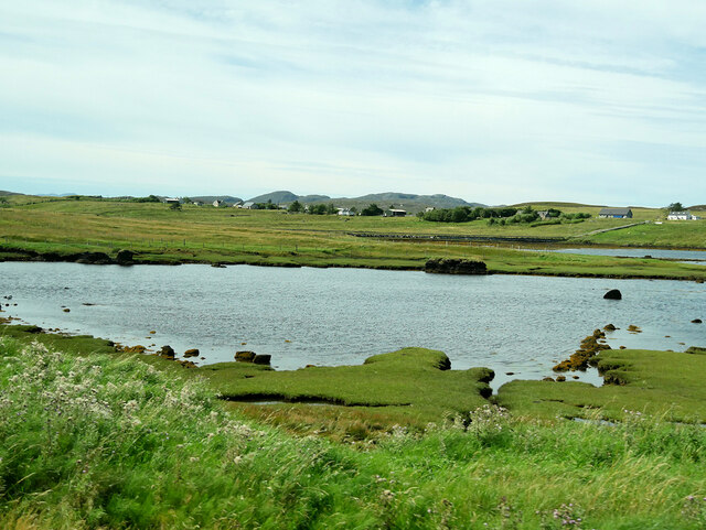
Loch Bharabhat is a small freshwater loch located in the county of Ross-shire, Scotland. It is situated in the scenic Scottish Highlands, surrounded by lush green hills and breathtaking landscapes. The loch covers an area of approximately 10 hectares and is characterized by its calm and tranquil waters.
The loch is known for its diverse aquatic ecosystem, which supports a wide variety of flora and fauna. The water is clear and unpolluted, making it an ideal habitat for various freshwater species. Anglers frequent the loch for its healthy population of brown trout, which thrive in its nutrient-rich waters.
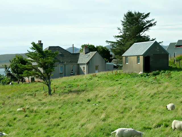
Surrounding the loch is a mix of marshland and wetlands, creating a haven for wetland birds and other wildlife. The marshes are home to a number of plant species, including reeds and rushes, which provide cover and nesting sites for birds such as ducks, swans, and herons. Birdwatchers often visit the loch to observe these species in their natural habitat.
The area surrounding Loch Bharabhat is also popular for walking and hiking. There are several trails that offer stunning views of the loch and the surrounding countryside. Visitors can take a leisurely stroll or embark on a more challenging hike to explore the rugged terrain and enjoy the peaceful ambiance of the area.
Overall, Loch Bharabhat is a picturesque and ecologically important freshwater body in Ross-shire. Its serene waters, diverse wildlife, and stunning surroundings make it a popular destination for nature enthusiasts and those seeking a tranquil escape in the heart of the Scottish Highlands.
If you have any feedback on the listing, please let us know in the comments section below.
Loch Bharabhat Images
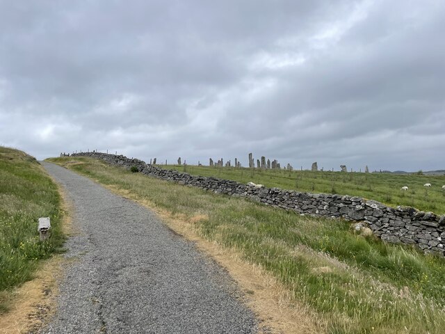
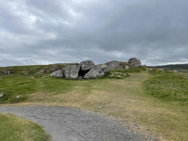
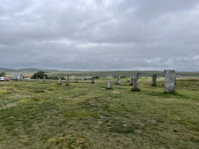
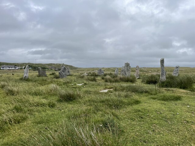
Images are sourced within 2km of 58.208043/-6.7289035 or Grid Reference NB2234. Thanks to Geograph Open Source API. All images are credited.

Loch Bharabhat is located at Grid Ref: NB2234 (Lat: 58.208043, Lng: -6.7289035)
Unitary Authority: Na h-Eileanan an Iar
Police Authority: Highlands and Islands
What 3 Words
///digress.tempting.responses. Near Carloway, Na h-Eileanan Siar
Nearby Locations
Related Wikis

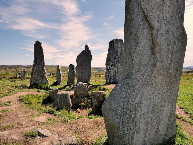
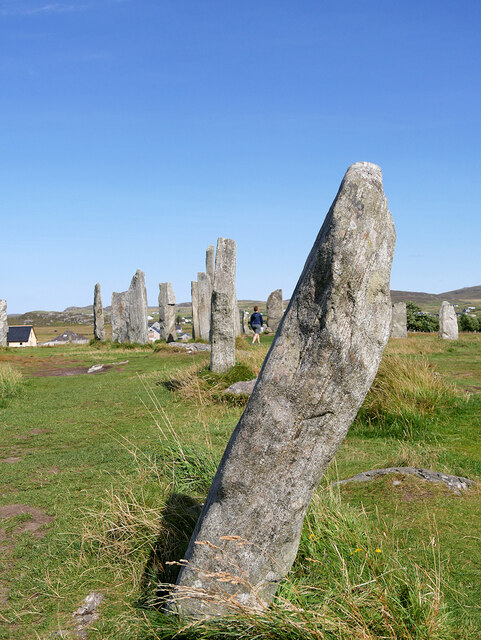
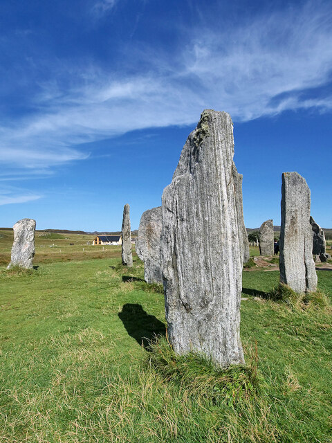
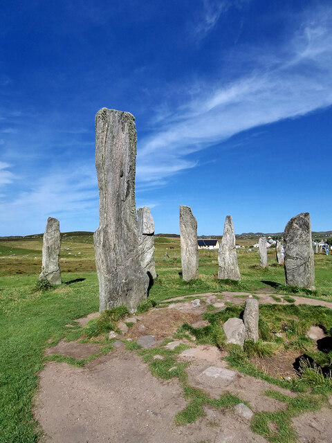
Callanish X
The Callanish X stone circle (or "Na Dromannan", "Druim Nan Eun") is one of many megalithic structures around the more well-known and larger Calanais I...

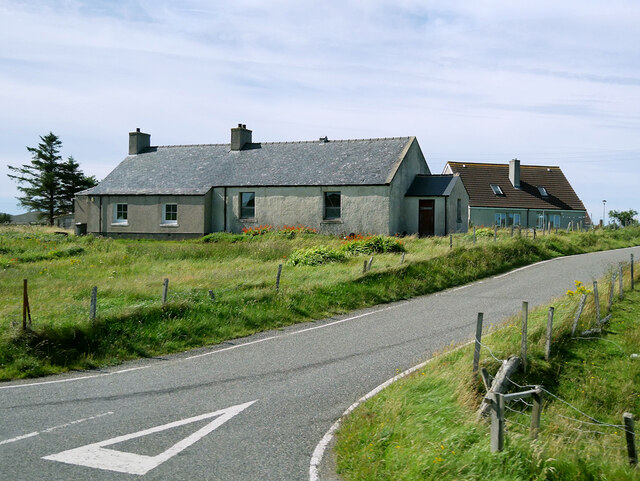
Callanish
Callanish (Scottish Gaelic: Calanais) is a village (township) on the west side of the Isle of Lewis, in the Outer Hebrides (Western Isles), Scotland. Callanish...

Breasclete
Breasclete (Scottish Gaelic: Brèascleit) is a village and community on the west side of the Isle of Lewis, in the Outer Hebrides, Scotland. Breasclete...

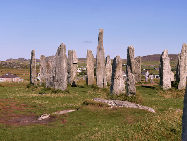
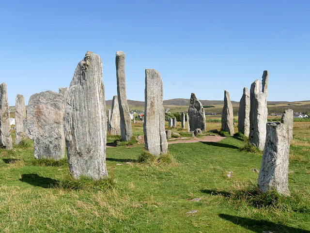
Callanish III
The Callanish III stone circle (Scottish Gaelic: Cnoc Fillibhir Bheag) is one of many megalithic structures around the better-known (and larger) Calanais...
Nearby Amenities
Located within 500m of 58.208043,-6.7289035Have you been to Loch Bharabhat?
Leave your review of Loch Bharabhat below (or comments, questions and feedback).