Cnoc Gèarraidh Nighean Choinnich
Hill, Mountain in Ross-shire
Scotland
Cnoc Gèarraidh Nighean Choinnich
Cnoc Gèarraidh Nighean Choinnich, located in Ross-shire, Scotland, is a prominent hill/mountain in the region. Standing at an elevation of approximately 850 meters (2,790 feet), it offers breathtaking panoramic views of the surrounding landscape.
The hill/mountain is known for its challenging yet rewarding hiking trails, attracting outdoor enthusiasts and nature lovers from all over. The ascent to the summit can be steep and requires a moderate level of fitness, but the efforts are well worth it. The trail is well-maintained, making it accessible for both experienced hikers and beginners.
Cnoc Gèarraidh Nighean Choinnich boasts a diverse range of flora and fauna. The lower slopes are covered in heather and grasses, while the higher reaches are adorned with rugged rocks and scree slopes. The hill/mountain is also home to several species of birds, including golden eagles, peregrine falcons, and ptarmigans, offering ample opportunities for birdwatching.
The summit of Cnoc Gèarraidh Nighean Choinnich provides a breathtaking panorama of the surrounding countryside, with views stretching across the surrounding peaks, glens, and lochs. On clear days, visitors can admire the distant peaks of the Scottish Highlands and the shimmering waters of nearby lochs.
The hill/mountain is a popular destination for photographers, who are drawn to its stunning natural beauty and the ever-changing play of light and shadows on the landscape. It also offers a peaceful retreat for those seeking solitude and a chance to connect with nature.
Overall, Cnoc Gèarraidh Nighean Choinnich is a majestic hill/mountain that offers a challenging yet rewarding hiking experience, stunning views, and an opportunity to immerse oneself in the serene natural beauty of Ross-shire.
If you have any feedback on the listing, please let us know in the comments section below.
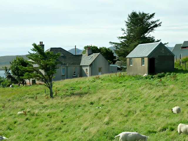
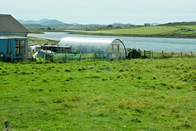
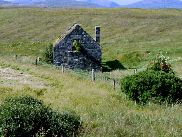
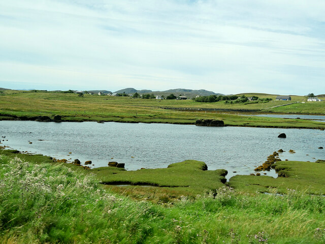
Cnoc Gèarraidh Nighean Choinnich Images
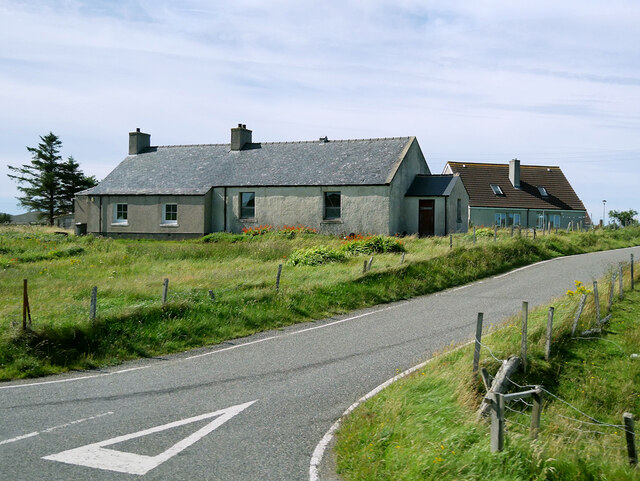
Images are sourced within 2km of 58.213628/-6.7318464 or Grid Reference NB2234. Thanks to Geograph Open Source API. All images are credited.

Cnoc Gèarraidh Nighean Choinnich is located at Grid Ref: NB2234 (Lat: 58.213628, Lng: -6.7318464)
Unitary Authority: Na h-Eileanan an Iar
Police Authority: Highlands and Islands
What 3 Words
///imitate.downcast.afraid. Near Carloway, Na h-Eileanan Siar
Nearby Locations
Related Wikis

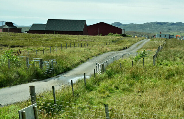
Breasclete
Breasclete (Scottish Gaelic: Brèascleit) is a village and community on the west side of the Isle of Lewis, in the Outer Hebrides, Scotland. Breasclete...

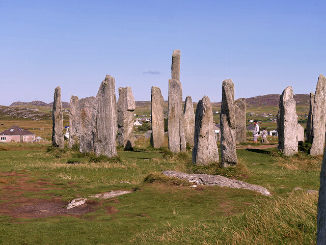
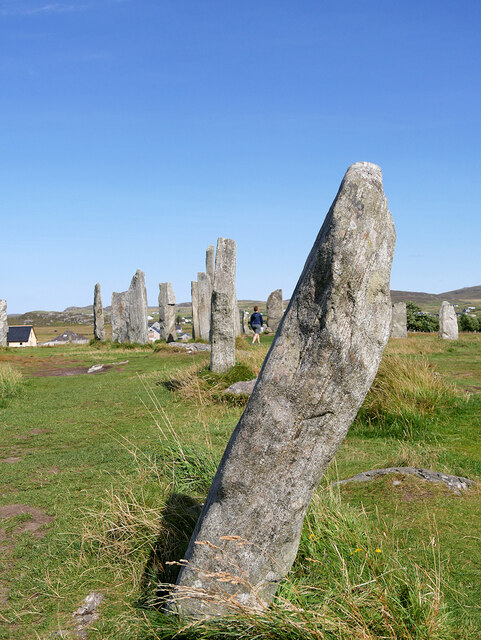
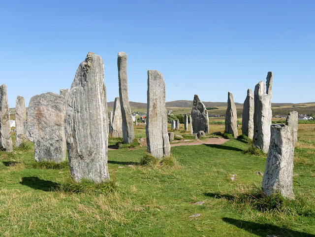
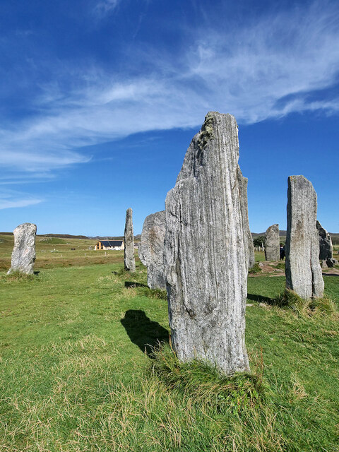
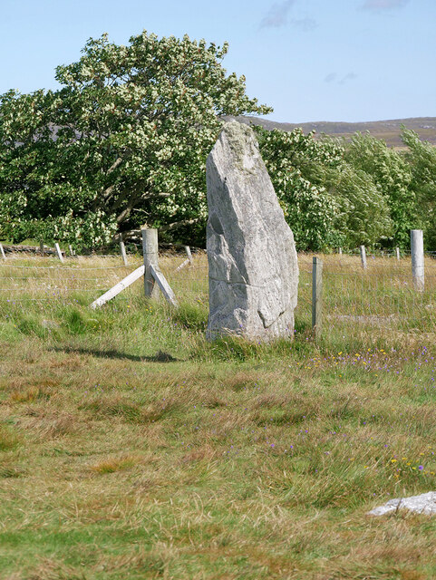
Callanish X
The Callanish X stone circle (or "Na Dromannan", "Druim Nan Eun") is one of many megalithic structures around the more well-known and larger Calanais I...

Callanish
Callanish (Scottish Gaelic: Calanais) is a village (township) on the west side of the Isle of Lewis, in the Outer Hebrides (Western Isles), Scotland. Callanish...

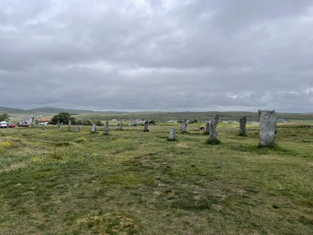
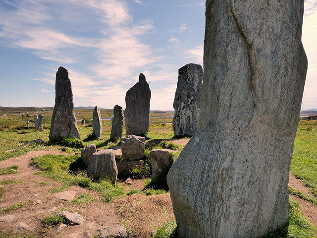
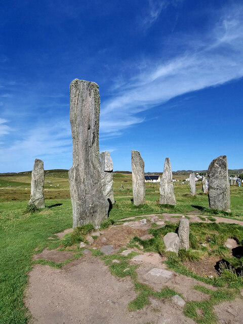
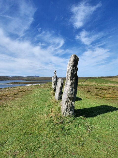
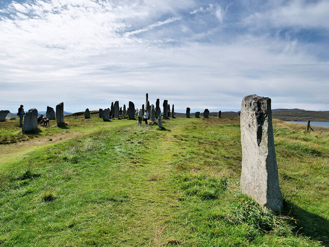
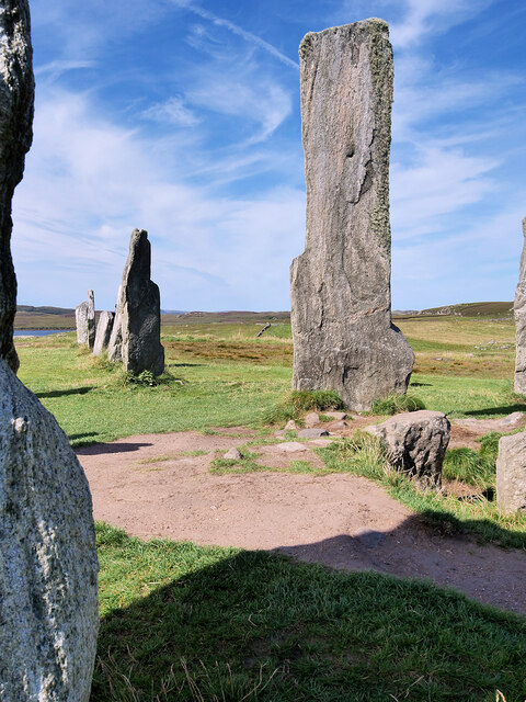
Callanish Stones
The Callanish Stones (or "Callanish I": Scottish Gaelic: Clachan Chalanais or Tursachan Chalanais) are an arrangement of standing stones placed in a cruciform...
Nearby Amenities
Located within 500m of 58.213628,-6.7318464Have you been to Cnoc Gèarraidh Nighean Choinnich?
Leave your review of Cnoc Gèarraidh Nighean Choinnich below (or comments, questions and feedback).