Loch Beinn nan Sgalag

Lake, Pool, Pond, Freshwater Marsh in Ross-shire

Scotland

Loch Beinn nan Sgalag

Croft near Breasclete
Croft near Breasclete Credit: David Dixon

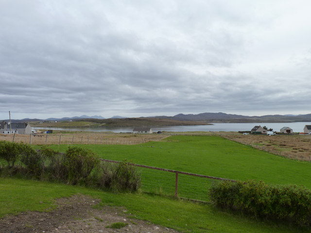
Loch Beinn nan Sgalag is a picturesque freshwater loch located in Ross-shire, Scotland. Surrounded by rolling hills and stunning landscapes, it is a hidden gem nestled in the heart of the Scottish Highlands. The loch stretches over an area of approximately 2 square kilometers, making it a significant body of water in the region.

The calm and serene atmosphere of Loch Beinn nan Sgalag makes it an ideal spot for nature lovers and outdoor enthusiasts. The crystal-clear waters of the loch are home to a variety of freshwater fish species, including brown trout and Arctic charr. Fishing is a popular activity here, attracting anglers from far and wide.

The loch is also surrounded by lush vegetation and rich biodiversity. The shores are adorned with vibrant wildflowers, and the surrounding marshes provide a habitat for numerous bird species, such as herons and ducks. It is a haven for birdwatchers, who can spend hours observing and photographing the diverse avian population.

The tranquility of Loch Beinn nan Sgalag also offers opportunities for recreational activities like kayaking and canoeing. The calm waters and scenic backdrop provide an idyllic setting for these water sports, attracting enthusiasts of all skill levels.

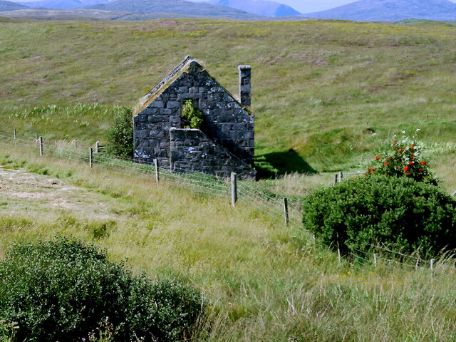
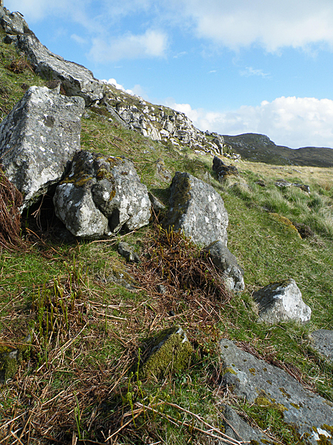
Visitors to Loch Beinn nan Sgalag can also enjoy the surrounding hiking trails, which offer breathtaking views of the loch and the surrounding landscapes. The area is rich in history, with several ancient ruins and archaeological sites dotting the vicinity.

In conclusion, Loch Beinn nan Sgalag is a stunning freshwater loch in Ross-shire, Scotland. With its tranquil ambiance, diverse wildlife, and recreational activities, it is a must-visit destination for nature lovers and outdoor enthusiasts.

If you have any feedback on the listing, please let us know in the comments section below.

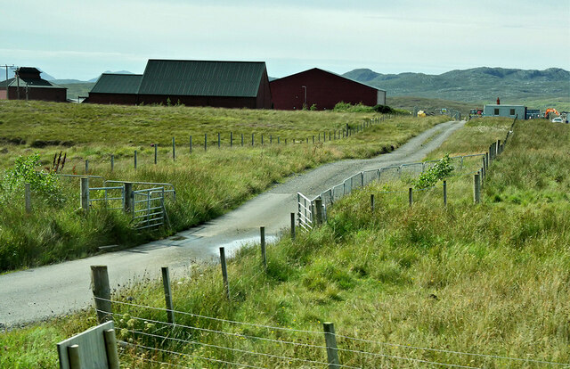
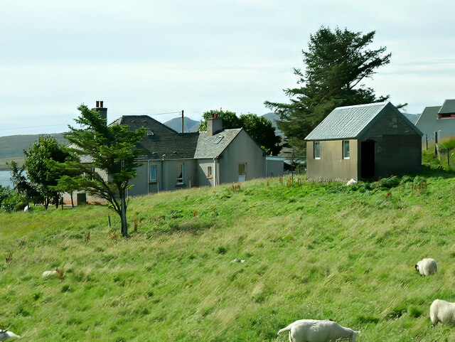
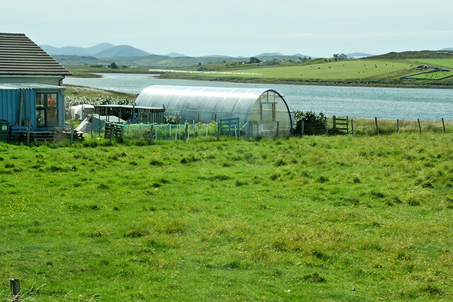
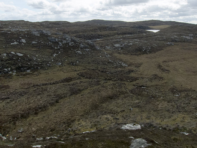
Loch Beinn nan Sgalag Images

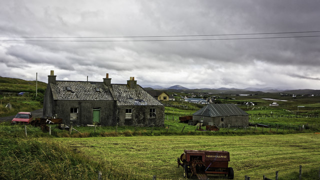
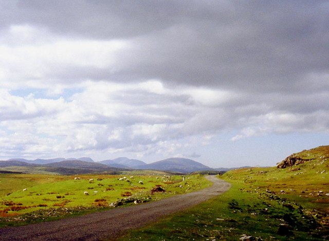
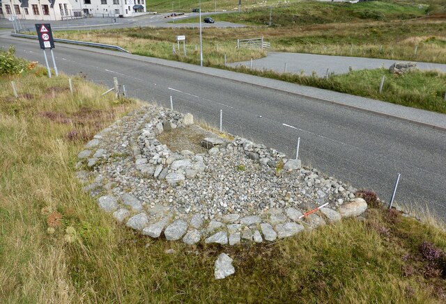
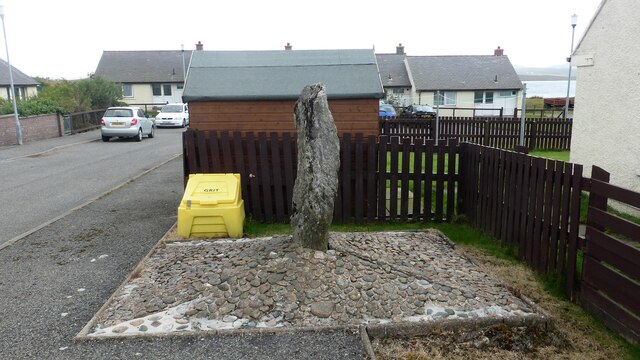
Images are sourced within 2km of 58.229959/-6.7317229 or Grid Reference NB2236. Thanks to Geograph Open Source API. All images are credited.

Croft near Breasclete
House on a hill near Breasclete
Farm Track at Breascleit
Sheep grazing at Breascleit
Polythene tunnel greenhouse on the shore of Loch Ròg an Ear
Derelict Mill near Breasclete
Abandoned Croft at Breascleit
Pentland Road Better grazing as the road nears Breasclete.
Pentland Road
Better grazing as the road nears Breasclete.
Breasclete Park cairn A cairn found, excavated and partly removed during road improvement works. <span class="nowrap"><a title="https://canmore.org.uk/site/110238/lewis-callanish-olcote-breasclete-park" rel="nofollow ugc noopener" href="https://canmore.org.uk/site/110238/lewis-callanish-olcote-breasclete-park">Link</a><img style="margin-left:2px;" alt="External link" title="External link - shift click to open in new window" src="https://s1.geograph.org.uk/img/external.png" width="10" height="10"/></span>
Breasclete Park cairn
A cairn found, excavated and partly removed during road improvement works. LinkExternal link
Stonefield standing stone Despite appearances this standing stone is in its original position and was found following peat cutting in this area around 1923.  The stone is also known as Callanish XII. <span class="nowrap"><a title="https://canmore.org.uk/site/4171/lewis-stonefield" rel="nofollow ugc noopener" href="https://canmore.org.uk/site/4171/lewis-stonefield">Link</a><img style="margin-left:2px;" alt="External link" title="External link - shift click to open in new window" src="https://s1.geograph.org.uk/img/external.png" width="10" height="10"/></span>
Stonefield standing stone
Despite appearances this standing stone is in its original position and was found following peat cutting in this area around 1923. The stone is also known as Callanish XII. LinkExternal link
Beannan Beag The low hill to the left here is composed of distinctive and unusual rocks known (ungrammatically) as the Cleitichean Beag dykes. They belong to the Palaeoproterozoic Younger Basic suite which was intruded into the Lewisian gneiss about 2800 to 2700 million years ago.
Beannan Beag
The low hill to the left here is composed of distinctive and unusual rocks known (ungrammatically) as the Cleitichean Beag dykes. They belong to the Palaeoproterozoic Younger Basic suite which was intruded into the Lewisian gneiss about 2800 to 2700 million years ago.
Crofting strip Lush grass, much favoured by migrating geese, on a crofting strip in the village of Breascleit. The water in the distance is Loch Roag.
Crofting strip
Lush grass, much favoured by migrating geese, on a crofting strip in the village of Breascleit. The water in the distance is Loch Roag.
Largest house in Breascleit Architecturally a complete contrast to the other houses in the small village of Breascleit, this building has a history. Currently it forms flats owned by the local council but it was originally built in 1895 for the Northern Lighthouse Board as residences for families of the keepers working on the Flannan Isles lighthouse (NA7247) about 25 miles offshore from Breascleit. It must have been a sad place just five years after it was built when in December 1900 all three keepers vanished without trace from the island. Many are the rumours that have grown up concerning their mysterious disappearance (including some involving sea monsters and abduction by aliens) but it seems most probable that they were swept to their deaths by a huge Atlantic wave. Two of them left widows who lived in this house, one with four and the other with two young children.
Largest house in Breascleit
Architecturally a complete contrast to the other houses in the small village of Breascleit, this building has a history. Currently it forms flats owned by the local council but it was originally built in 1895 for the Northern Lighthouse Board as residences for families of the keepers working on the Flannan Isles lighthouse (NA7247) about 25 miles offshore from Breascleit. It must have been a sad place just five years after it was built when in December 1900 all three keepers vanished without trace from the island. Many are the rumours that have grown up concerning their mysterious disappearance (including some involving sea monsters and abduction by aliens) but it seems most probable that they were swept to their deaths by a huge Atlantic wave. Two of them left widows who lived in this house, one with four and the other with two young children.
Lighthouse crest This Northern Lighthouse Board crest is still above the front door of the house shown in<a href="https://www.geograph.org.uk/photo/3488562">NB2135 : Largest house in Breascleit</a>.
Lighthouse crest
This Northern Lighthouse Board crest is still above the front door of the house shown inNB2135 : Largest house in Breascleit.
Lochans in view There is a transmitter mast in this square, which I hoped would make a good foreground - but it sits squarely on the square boundary! So I made do with this really very lovely view to the SE, of a couple of lochans sitting between lumps of Lewisian gneiss. England had a very wet 2012, but this part of the NW British Isles was dry, so the walking from the road was easy.
Lochans in view
There is a transmitter mast in this square, which I hoped would make a good foreground - but it sits squarely on the square boundary! So I made do with this really very lovely view to the SE, of a couple of lochans sitting between lumps of Lewisian gneiss. England had a very wet 2012, but this part of the NW British Isles was dry, so the walking from the road was easy.
Lochs and hills Small lochs south of the Pentland Road with the hills of Harris in the distance.
Lochs and hills
Small lochs south of the Pentland Road with the hills of Harris in the distance.
Loch na Gainmhich Small loch, south of the Pentland Road.
Loch na Gainmhich
Small loch, south of the Pentland Road.
Breasclete, Isle of Lewis Looking south west over Loch Roag towards the Uig Hills
Breasclete, Isle of Lewis
Looking south west over Loch Roag towards the Uig Hills
Show me another place!

Loch Beinn nan Sgalag is located at Grid Ref: NB2236 (Lat: 58.229959, Lng: -6.7317229)

Unitary Authority: Na h-Eileanan an Iar

Police Authority: Highlands and Islands

What 3 Words

///salmon.supporter.listen. Near Carloway, Na h-Eileanan Siar

Related Wikis

Breasclete

Breasclete (Scottish Gaelic: Brèascleit) is a village and community on the west side of the Isle of Lewis, in the Outer Hebrides, Scotland. Breasclete...

Ceabhaigh

Ceabhaigh is a small island in an arm of Loch Ròg on the west coast of Lewis in the Outer Hebrides of Scotland. It is about 25 hectares (62 acres) in extent...

Callanish X

The Callanish X stone circle (or "Na Dromannan", "Druim Nan Eun") is one of many megalithic structures around the more well-known and larger Calanais I...

Tolsta Chaolais

Tolsta Chaolais (also Tolastadh Chaolais, Tolstadh a' Chaolais) is a village on the Isle of Lewis, Scotland. It consists of about forty houses, clustered...

Nearby Amenities

Located within 500m of 58.229959,-6.7317229
Beinn Bheag
Ele: 122
Natural: peak
Lat/Long: 58.2261832/-6.7343112
The data included in this document is from www.openstreetmap.org. The data is made available under ODbL.

Have you been to Loch Beinn nan Sgalag?

Leave your review of Loch Beinn nan Sgalag below (or comments, questions and feedback).