Cnoc Dubh

Hill, Mountain in Ross-shire

Scotland

Cnoc Dubh

View towards Loch Chàrlabhaigh
View towards Loch Chàrlabhaigh Credit: David Dixon

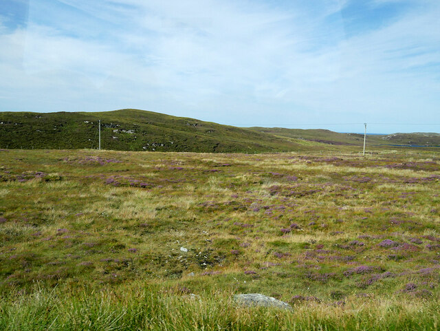
Cnoc Dubh is a prominent hill located in the county of Ross-shire, in the Scottish Highlands. It sits within the area known as Wester Ross, renowned for its stunning natural beauty and rugged landscapes. Cnoc Dubh stands at an elevation of approximately 668 meters (2,192 feet), making it a notable peak in the region.

The hill is characterized by its distinct shape and steep slopes, which offer breathtaking views of the surrounding countryside. Its summit provides panoramic vistas of the nearby Loch Maree, one of Scotland's largest freshwater lakes, and the majestic Torridon Mountains to the south.

Cnoc Dubh is a popular destination for outdoor enthusiasts and hillwalkers, attracting visitors from near and far. Its challenging terrain appeals to experienced hikers seeking an adventurous climb. The hill can be accessed from various starting points, with different routes offering diverse experiences for walkers of all abilities.

The surrounding area is abundant in wildlife, with opportunities to spot native species such as red deer, golden eagles, and pine martens. The hill is also home to a variety of plant life, including heather and juniper bushes, adding to its natural charm.

Cnoc Dubh is an ideal location for those seeking solitude and a peaceful retreat amidst the beauty of the Scottish Highlands. Its unique landscape and panoramic views make it a must-visit destination for nature enthusiasts and those looking to immerse themselves in the tranquility of the Scottish countryside.

If you have any feedback on the listing, please let us know in the comments section below.
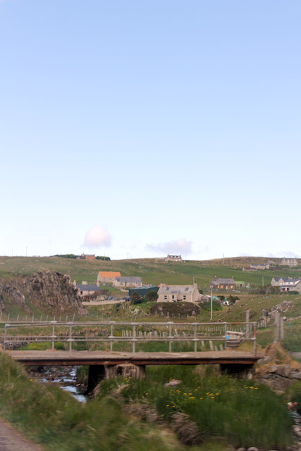
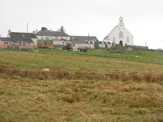
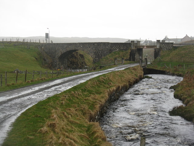
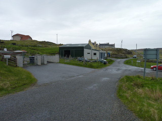
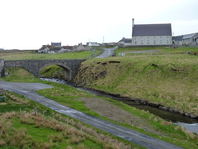
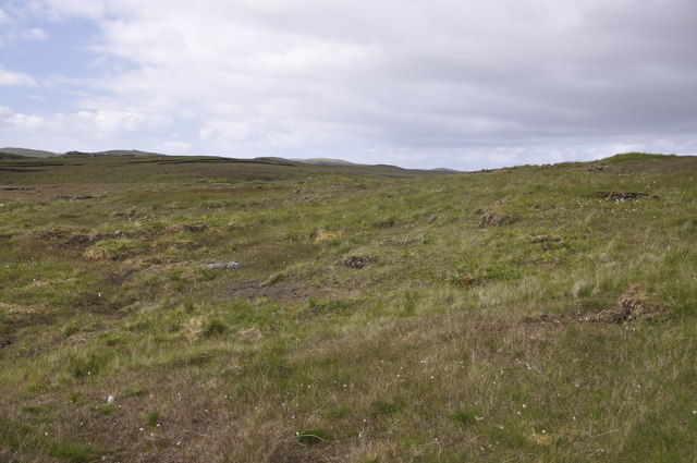
Cnoc Dubh Images

Images are sourced within 2km of 58.278827/-6.7538098 or Grid Reference NB2142. Thanks to Geograph Open Source API. All images are credited.

View towards Loch Chàrlabhaigh
Moorland west of Carloway
Bungalow, Upper Carloway
Abhainn Chàrlabhaigh
Carloway, Isle of Lewis
Byre, Carloway
Byre, Carloway
Hill near Carloway
Hill near Carloway
Bridge carrying A858 over Abhainn Charlabhaigh, Carloway
The road to Gearrannan Blackhouse Village
Carloway Bridge Busy scene for Lewis with a bright red tractor on the A858, crossing the River Carloway / Abhainn Charlabhaigh. Note the Gaelic / English language road sign.
Carloway Bridge
Busy scene for Lewis with a bright red tractor on the A858, crossing the River Carloway / Abhainn Charlabhaigh. Note the Gaelic / English language road sign.
Carloway F.C. Amateur football is popular in Lewis and Carloway is one of its more prominent clubs. The ground sits in an attractive location, surrounded by low hills. Note the silage machine in the foreground.
<span class="nowrap"><a title="www.carlowayfc.co.uk" rel="nofollow ugc noopener" href="http://www.carlowayfc.co.uk">Link</a><img style="margin-left:2px;" alt="External link" title="External link - shift click to open in new window" src="https://s1.geograph.org.uk/img/external.png" width="10" height="10"/></span>
Carloway F.C.
Amateur football is popular in Lewis and Carloway is one of its more prominent clubs. The ground sits in an attractive location, surrounded by low hills. Note the silage machine in the foreground. LinkExternal link
The Bridge at Carloway Substantial stone arched road bridge spanning the Abhainn Charlabhaigh / Carloway River.
The Bridge at Carloway
Substantial stone arched road bridge spanning the Abhainn Charlabhaigh / Carloway River.
Sunnybrae Carloway Shown on the map, I don't know if Sunnybrae is the name of the house or a farm or just an area.
Sunnybrae Carloway
Shown on the map, I don't know if Sunnybrae is the name of the house or a farm or just an area.
Càrlabhagh/Carloway Church and houses above Abhainn Chàrlabhaigh.
Càrlabhagh/Carloway
Church and houses above Abhainn Chàrlabhaigh.
Abhainn Chàrlabhaigh and Pentland Road Both passing under the A858 at Càrlabhagh.
Abhainn Chàrlabhaigh and Pentland Road
Both passing under the A858 at Càrlabhagh.
Road to Borghastan A cul-de-sac back road near Càrlabhagh.
Road to Borghastan
A cul-de-sac back road near Càrlabhagh.
Bridge over Abhainn Chàrlabhaigh With Càrlabhagh village and church in the background.
Bridge over Abhainn Chàrlabhaigh
With Càrlabhagh village and church in the background.
Peat Moorland This photo virtually sums up the entire square and many others on Lewis.
Peat Moorland
This photo virtually sums up the entire square and many others on Lewis.
Show me another place!

Cnoc Dubh is located at Grid Ref: NB2142 (Lat: 58.278827, Lng: -6.7538098)

Unitary Authority: Na h-Eileanan an Iar

Police Authority: Highlands and Islands

What 3 Words

///rats.remotest.shock. Near Carloway, Na h-Eileanan Siar

Related Wikis

Carloway

Carloway (Scottish Gaelic: Càrlabhagh [ˈkʰaːɾɫ̪ə.ɤː]) is a crofting township and a district on the west coast of the Isle of Lewis, in the Outer Hebrides...

Borrowston, Lewis

Borrowston (Scottish Gaelic: Borghastan), with a population of about 50, is a crofting township situated on the Isle of Lewis, on the Outer Hebrides of...

Dun Carloway

Dun Carloway (Scottish Gaelic: Dùn Chàrlabhaigh) is a broch situated in the district of Carloway, on the west coast of the Isle of Lewis, Scotland (grid...

Garenin

Garenin (Scottish Gaelic: Na Gearrannan) is a crofting township on the west coast of the Isle of Lewis in the Outer Hebrides of Scotland. Garenin is in...

Tolsta Chaolais

Tolsta Chaolais (also Tolastadh Chaolais, Tolstadh a' Chaolais) is a village on the Isle of Lewis, Scotland. It consists of about forty houses, clustered...

Lewis and Harris

Lewis and Harris (Scottish Gaelic: Leòdhas agus Na Hearadh, Scots: Lewis an Harris), or Lewis with Harris, is a single Scottish island in the Outer Hebrides...

Shawbost

Shawbost (Scottish Gaelic: Siabost) is a large village in the West Side of the Isle of Lewis. The village of Shawbost has a population of around 500 and...

Siadar Wave Power Station

The Siadar Wave Power Station (also known as Siadar Wave Energy Project or SWEP) was a proposed 4 MW wave farm 400 metres (1,300 ft) off the shore of Siadar...

Nearby Amenities

Located within 500m of 58.278827,-6.7538098
Carloway
Naptan AtcoCode: 6010731592
Naptan Bearing: NW
Naptan BusStopType: CUS
Naptan CommonName: Carloway
Naptan Indicator: Pentland Drive
Naptan Landmark: Cattle grid
Naptan NaptanCode: 94723957
Naptan Street: Pentland Drive
Naptan Verified: no
Source: naptan_import
Lat/Long: 58.2751994/-6.7572407
Passing Place
Lat/Long: 58.2771384/-6.7597623
Barrier: cattle_grid
Lat/Long: 58.2793032/-6.7604449
Barrier: cattle_grid
Lat/Long: 58.2753086/-6.7570002
Power: pole
Lat/Long: 58.2830369/-6.7522291
Power: pole
Lat/Long: 58.2828646/-6.7534835
Power: pole
Lat/Long: 58.2827104/-6.7546713
Power: pole
Lat/Long: 58.282523/-6.7557128
Power: pole
Lat/Long: 58.2823309/-6.7571405
Power: pole
Lat/Long: 58.2820114/-6.7581237
Power: pole
Lat/Long: 58.2818122/-6.7588103
Power: pole
Lat/Long: 58.2814298/-6.7600378
Power: pole
Lat/Long: 58.2812528/-6.7607658
Power: pole
Lat/Long: 58.2752457/-6.7561995
Power: pole
Lat/Long: 58.2753008/-6.7568223
Power: pole
Lat/Long: 58.2756865/-6.7582063
Ford: yes
Lat/Long: 58.2799085/-6.751194
Ford: yes
Lat/Long: 58.2783059/-6.7502989
Passing Place
Lat/Long: 58.27612/-6.7587021
The data included in this document is from www.openstreetmap.org. The data is made available under ODbL.

Have you been to Cnoc Dubh?

Leave your review of Cnoc Dubh below (or comments, questions and feedback).