Cnoc an Ruagain

Hill, Mountain in Ross-shire

Scotland

Cnoc an Ruagain

Loch Griomarstadh (Loch Grimersta) Loch Griomarstadh is a long narrow inlet of Loch Ceann Hulabhaig. It is tidal, and this view shows the sea a foot or so below high tide. In the distant, at left is Calanais (Callanish).
Loch Griomarstadh (Loch Grimersta) Credit: Anne Burgess

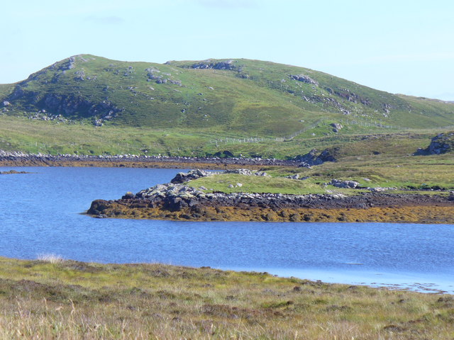
Cnoc an Ruagain is a prominent hill located in Ross-shire, Scotland. It is part of the Northwest Highlands and is situated near the village of Garve. Standing at an impressive height of 551 meters (1,808 feet), it offers breathtaking views of the surrounding landscape.

The hill is a popular destination for hikers and outdoor enthusiasts due to its accessibility and stunning vistas. The ascent to the summit is moderately challenging, with a well-defined path leading through heather-covered slopes. On a clear day, visitors can enjoy panoramic views of the nearby Munros, including the famous Ben Wyvis.

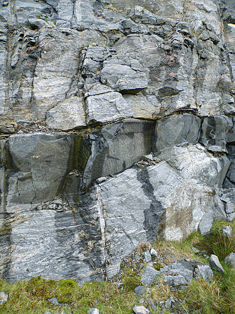
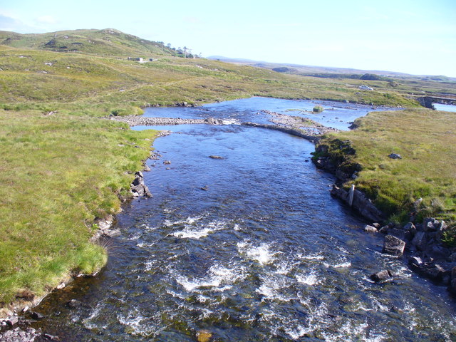
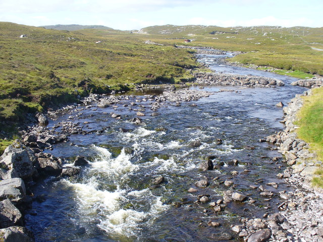
Cnoc an Ruagain is known for its diverse flora and fauna. The lower slopes are covered in a mix of heather, grasses, and scattered birch trees, while the higher elevations are characterized by rocky outcrops and alpine vegetation. The hill is home to various bird species, such as golden eagles and peregrine falcons, as well as smaller mammals like red deer and mountain hares.

The hill's location in the Scottish Highlands means that weather conditions can change rapidly, so hikers are advised to come prepared with appropriate clothing and equipment. It is also important to note that the hill is part of private land, so visitors should respect any access restrictions and ensure they leave no trace of their presence.

Overall, Cnoc an Ruagain offers a rewarding hiking experience for nature lovers and adventurers, providing an opportunity to immerse oneself in the beauty of the Scottish countryside while enjoying stunning views from its summit.

If you have any feedback on the listing, please let us know in the comments section below.

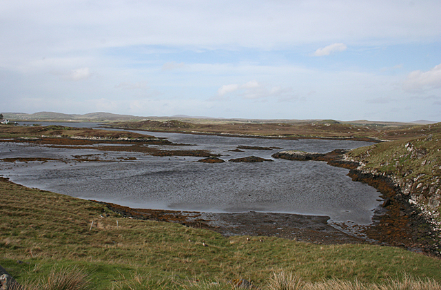
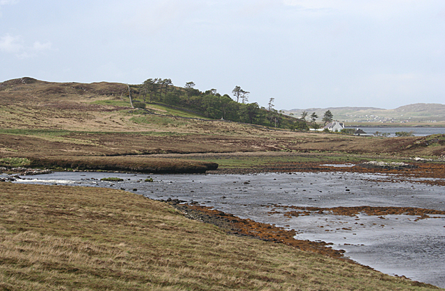
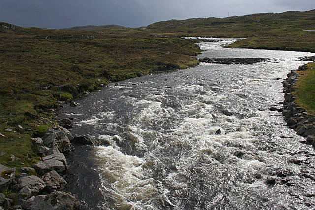
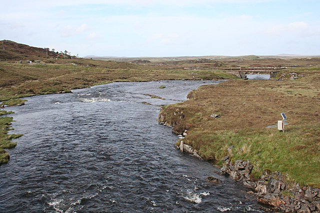
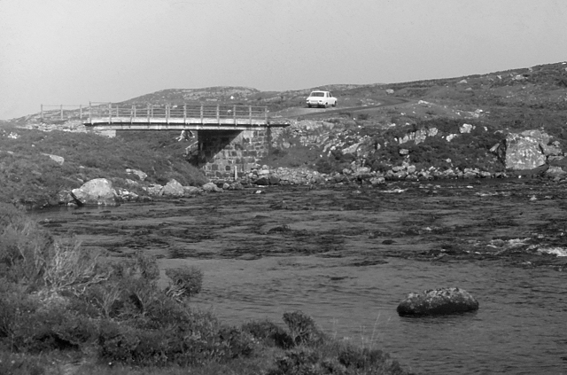
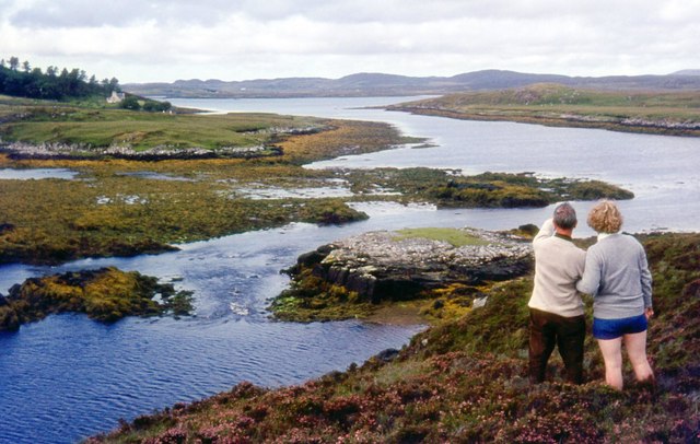
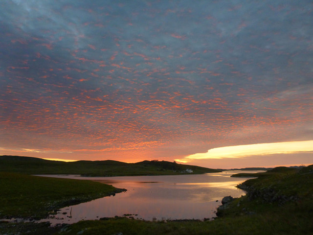
Cnoc an Ruagain Images

Images are sourced within 2km of 58.163731/-6.7386341 or Grid Reference NB2129. Thanks to Geograph Open Source API. All images are credited.

Loch Griomarstadh (Loch Grimersta) Loch Griomarstadh is a long narrow inlet of Loch Ceann Hulabhaig. It is tidal, and this view shows the sea a foot or so below high tide. In the distant, at left is Calanais (Callanish).
Loch Griomarstadh (Loch Grimersta)
Loch Griomarstadh is a long narrow inlet of Loch Ceann Hulabhaig. It is tidal, and this view shows the sea a foot or so below high tide. In the distant, at left is Calanais (Callanish).
Griomarstadh Abhainn Ghriomarstaidh (River Grimersta) enters the sea here from the left. The house at Griomarstadh is in the next square, and in the distance are the crofting communities of Calanais and Breascleit.
Griomarstadh
Abhainn Ghriomarstaidh (River Grimersta) enters the sea here from the left. The house at Griomarstadh is in the next square, and in the distance are the crofting communities of Calanais and Breascleit.
Abhainn Ghriomarstaidh (Grimersta River) Dramatic lighting as storm clouds gather to the south-west. This river is possibly the best salmon fishing river in the Western Isles, and drains a large tract of southern Lewis. There was a lot of water today following a week of unsettled weather with frequent rain showers.
Abhainn Ghriomarstaidh (Grimersta River)
Dramatic lighting as storm clouds gather to the south-west. This river is possibly the best salmon fishing river in the Western Isles, and drains a large tract of southern Lewis. There was a lot of water today following a week of unsettled weather with frequent rain showers.
Abhainn Ghriomarstaidh (Grimersta River) Looking downstream from the new bridge which carries the B8011 over the river. The next bridge is the private access to Griomarstadh House and jetty.
Abhainn Ghriomarstaidh (Grimersta River)
Looking downstream from the new bridge which carries the B8011 over the river. The next bridge is the private access to Griomarstadh House and jetty.
Roadside Cutting This cutting was made to accommodate the new B8011 south of Gearraidh na h-Aibhne (Garynahine). It reveals a sheet of dark rock intruded into grey gneiss. The gneiss is about 3000 million years old, and the dark rock is 'Younger Basic' mafic material intruded about 2400 million years ago. These events took place deep in the crust of the Earth as a result of tectonic movements associated with the break-up on an ancient continent.
Roadside Cutting
This cutting was made to accommodate the new B8011 south of Gearraidh na h-Aibhne (Garynahine). It reveals a sheet of dark rock intruded into grey gneiss. The gneiss is about 3000 million years old, and the dark rock is 'Younger Basic' mafic material intruded about 2400 million years ago. These events took place deep in the crust of the Earth as a result of tectonic movements associated with the break-up on an ancient continent.
Loch Ceann Hulabhig The tidal head, the southern end, of the sea loch close to Calanais / Callanish.
Loch Ceann Hulabhig
The tidal head, the southern end, of the sea loch close to Calanais / Callanish.
Grimersta River Abhainn Ghriomarstaidh tumbling down to the sea at Loch Ceann Hulabhig. The old road and bridge are visible in mid distance.
Grimersta River
Abhainn Ghriomarstaidh tumbling down to the sea at Loch Ceann Hulabhig. The old road and bridge are visible in mid distance.
Grimersta River from the Bridge View upstream of a tumbling, Highland river (Abhainn Ghriomarstaidh) from the new B8011 road bridge.
Grimersta River from the Bridge
View upstream of a tumbling, Highland river (Abhainn Ghriomarstaidh) from the new B8011 road bridge.
Lewis style bus shelter (i)
Old road bridge over the Abhainn Ghriomarstaidh/Grimersta River When this photo was taken in 1975, the bridge seen carried the B road to west Lewis over the river. Since then, a replacement has been constructed a short distance downstream. Fairly recent imagery seen online suggests that the bridge is still standing, although it no longer lies on a public road.
Old road bridge over the Abhainn Ghriomarstaidh/Grimersta River
When this photo was taken in 1975, the bridge seen carried the B road to west Lewis over the river. Since then, a replacement has been constructed a short distance downstream. Fairly recent imagery seen online suggests that the bridge is still standing, although it no longer lies on a public road.
Loch Faoghail am Tuim Looking south towards the hills of West Lewis. The little house highlighted by a ray of sunshine is a boathouse, in the next square. The nearest hill on the left is Ciorabhal, and on the right is Geure Dubh Mhòr. On the distant skyline is Roineabhal.
Loch Faoghail am Tuim
Looking south towards the hills of West Lewis. The little house highlighted by a ray of sunshine is a boathouse, in the next square. The nearest hill on the left is Ciorabhal, and on the right is Geure Dubh Mhòr. On the distant skyline is Roineabhal.
Cycling the B8059 The hills of Harris on the skyline
Cycling the B8059
The hills of Harris on the skyline
B8059 and the lochs leading in to the Lewis-Harris borderlands This string of linked lochs have 'Faoghail' in their names; this is the Gaelic word for ford.
B8059 and the lochs leading in to the Lewis-Harris borderlands
This string of linked lochs have 'Faoghail' in their names; this is the Gaelic word for ford.
Looking south east from the old Ardroil road A short spur which has been bypassed by new road construction forms a convenient parking place to admire the view.
Looking south east from the old Ardroil road
A short spur which has been bypassed by new road construction forms a convenient parking place to admire the view.
Loch Griomarstadh (Loch Grimersta) Part of the intricate coastline of west Lewis.
Loch Griomarstadh (Loch Grimersta)
Part of the intricate coastline of west Lewis.
Allt na Muilne drains into Loch Griomarstadh Underlit clouds illuminate the southern tip of Loch Griomarstadh during a summer sunset. The view is barely west of due north, but this far north, the sun stays above the horizon late - it is almost half past ten - and the earth has time to rotate much further before the light finally fades.
Allt na Muilne drains into Loch Griomarstadh
Underlit clouds illuminate the southern tip of Loch Griomarstadh during a summer sunset. The view is barely west of due north, but this far north, the sun stays above the horizon late - it is almost half past ten - and the earth has time to rotate much further before the light finally fades.
Causeway and fishing bothy, Loch Faoghail an Tuim, Isle of Lewis Loch Faoghail an Tuim is part of the Grimersta salmon system (<span class="nowrap"><a title="https://www.grimersta.com/guide.htm" rel="nofollow ugc noopener" href="https://www.grimersta.com/guide.htm">Link</a><img style="margin-left:2px;" alt="External link" title="External link - shift click to open in new window" src="https://s1.geograph.org.uk/img/external.png" width="10" height="10"/></span> ).
Causeway and fishing bothy, Loch Faoghail an Tuim, Isle of Lewis
Loch Faoghail an Tuim is part of the Grimersta salmon system (LinkExternal link ).
Lewis bus shelter
Lewis bus shelter
Show me another place!

Cnoc an Ruagain is located at Grid Ref: NB2129 (Lat: 58.163731, Lng: -6.7386341)

Unitary Authority: Na h-Eileanan an Iar

Police Authority: Highlands and Islands

What 3 Words

///mistress.routine.adjuster. Near Carloway, Na h-Eileanan Siar

Related Wikis

Callanish IV

The Callanish IV stone circle (Scottish Gaelic: Ceann Hulavig) is one of many megalithic structures around the better-known (and larger) Calanais I on...

Garynahine

Garynahine (Scottish Gaelic: Gearraidh na h-aibhne) is a settlement on Lewis, in the Outer Hebrides, Scotland. Garynahine is situated at a T-junction where...

Garynahine Estate

Garynahine Estate (Scottish Gaelic: Gearraidh na h-aibhne) in Garynahine, a village on the Isle of Lewis, Outer Hebrides was owned by Sir James Matheson...

Callanish II

The Callanish II stone circle (Scottish Gaelic: Cnoc Ceann a' Gharaidh) is one of many megalithic structures around the better-known (and larger) Calanais...

Callanish III

The Callanish III stone circle (Scottish Gaelic: Cnoc Fillibhir Bheag) is one of many megalithic structures around the better-known (and larger) Calanais...

Callanish Stones

The Callanish Stones (or "Callanish I": Scottish Gaelic: Clachan Chalanais or Tursachan Chalanais) are an arrangement of standing stones placed in a cruciform...

Callanish

Callanish (Scottish Gaelic: Calanais) is a village (township) on the west side of the Isle of Lewis, in the Outer Hebrides (Western Isles), Scotland. Callanish...

Eilean Chearstaidh

Eilean Kearstay (Scottish Gaelic: Eilean Chearstaigh) is an uninhabited island in Loch Roag in the Outer Hebrides of Scotland. It lies south east of Great...

Nearby Amenities

Located within 500m of 58.163731,-6.7386341
Passing Place
Lat/Long: 58.1666961/-6.7391021
Power: pole
Lat/Long: 58.1669875/-6.7440889
Power: pole
Lat/Long: 58.166171/-6.7443815
Power: pole
Lat/Long: 58.165288/-6.7446596
Power: pole
Lat/Long: 58.1645835/-6.7456715
Power: pole
Lat/Long: 58.163762/-6.7467752
Passing Place
Lat/Long: 58.1651974/-6.7438559
Passing Place
Lat/Long: 58.1662153/-6.7436161
Passing Place
Lat/Long: 58.16795/-6.7393308
Barrier: cattle_grid
Lat/Long: 58.1671008/-6.7401801
Passing Place
Lat/Long: 58.1664109/-6.7384185
Noexit: yes
Lat/Long: 58.165807/-6.7338005
Noexit: yes
Lat/Long: 58.1648909/-6.7439786
Power: pole
Lat/Long: 58.1669691/-6.7444078
Power: pole
Lat/Long: 58.1662476/-6.7446304
Power: pole
Lat/Long: 58.1656562/-6.7448047
Power: pole
Lat/Long: 58.1650861/-6.7455665
Power: pole
Lat/Long: 58.1644494/-6.7464328
Power: pole
Lat/Long: 58.1639783/-6.7470793
The data included in this document is from www.openstreetmap.org. The data is made available under ODbL.

Have you been to Cnoc an Ruagain?

Leave your review of Cnoc an Ruagain below (or comments, questions and feedback).