Sròn Thorraghail
Landscape Feature in Ross-shire
Scotland
Sròn Thorraghail

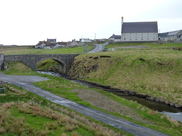
Sròn Thorraghail is a prominent landscape feature located in Ross-shire, in the Scottish Highlands. Situated in the northern part of the county, this distinctive landform is characterized by its steep and rugged terrain, offering breathtaking views of the surrounding area.
The name Sròn Thorraghail translates to "Thorradale Nose" in English, which accurately describes its physical appearance. The nose-like shape of Sròn Thorraghail juts out into the landscape, forming a prominent headland. This unique feature is a result of centuries of erosion by natural forces, including glaciers and rivers.
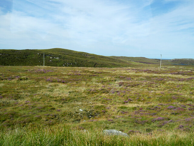
The landscape surrounding Sròn Thorraghail is diverse and captivating. Lush green meadows and moorlands stretch out from the base of the headland, contrasting with the rocky slopes and craggy cliffs that dominate its upper reaches. The headland itself is covered in heather and grasses, creating a colorful tapestry of vegetation.
The area around Sròn Thorraghail is rich in wildlife. Visitors may spot various bird species, including golden eagles, peregrine falcons, and red grouse. Red deer, mountain hares, and wild goats roam the hillsides, adding to the natural beauty and providing opportunities for wildlife enthusiasts.
Hiking and walking trails are available for visitors to explore the area, offering different levels of difficulty to suit various abilities. Adventurers can ascend the slopes of Sròn Thorraghail to enjoy panoramic views of the surrounding mountains, lochs, and valleys, making it a popular destination for outdoor enthusiasts and nature lovers alike.
If you have any feedback on the listing, please let us know in the comments section below.
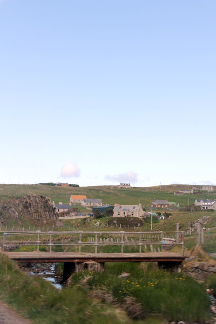
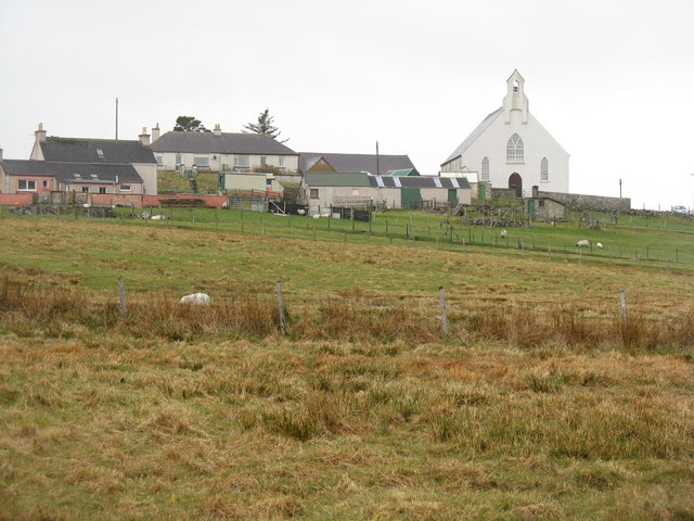
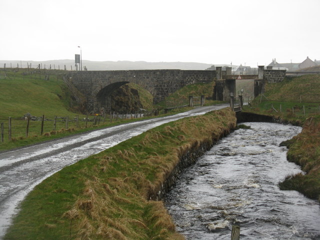
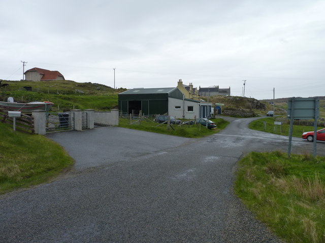
Sròn Thorraghail Images
Images are sourced within 2km of 58.285109/-6.7619125 or Grid Reference NB2142. Thanks to Geograph Open Source API. All images are credited.


Sròn Thorraghail is located at Grid Ref: NB2142 (Lat: 58.285109, Lng: -6.7619125)
Unitary Authority: Na h-Eileanan an Iar
Police Authority: Highlands and Islands
What 3 Words
///standards.probing.culminate. Near Carloway, Na h-Eileanan Siar
Nearby Locations
Related Wikis

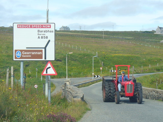
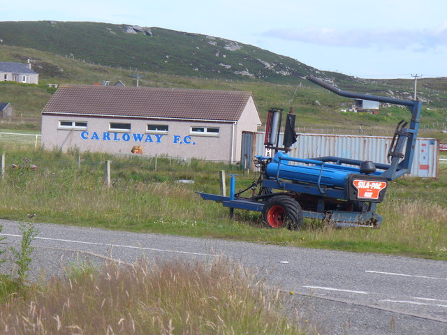
Carloway
Carloway (Scottish Gaelic: Càrlabhagh [ˈkʰaːɾɫ̪ə.ɤː]) is a crofting township and a district on the west coast of the Isle of Lewis, in the Outer Hebrides...

Borrowston, Lewis
Borrowston (Scottish Gaelic: Borghastan), with a population of about 50, is a crofting township situated on the Isle of Lewis, on the Outer Hebrides of...

Garenin
Garenin (Scottish Gaelic: Na Gearrannan) is a crofting township on the west coast of the Isle of Lewis in the Outer Hebrides of Scotland. Garenin is in...

Dun Carloway
Dun Carloway (Scottish Gaelic: Dùn Chàrlabhaigh) is a broch situated in the district of Carloway, on the west coast of the Isle of Lewis, Scotland (grid...

Tolsta Chaolais
Tolsta Chaolais (also Tolastadh Chaolais, Tolstadh a' Chaolais) is a village on the Isle of Lewis, Scotland. It consists of about forty houses, clustered...

Siadar Wave Power Station
The Siadar Wave Power Station (also known as Siadar Wave Energy Project or SWEP) was a proposed 4 MW wave farm 400 metres (1,300 ft) off the shore of Siadar...

Shawbost
Shawbost (Scottish Gaelic: Siabost) is a large village in the West Side of the Isle of Lewis. The village of Shawbost has a population of around 500 and...
Cealasaigh
Cealasaigh or Kealasay is an islet in outer Loch Ròg, Lewis, Scotland that lies north of Traigh Mhór on Little Bernera and south of Campaigh. To the west...
Nearby Amenities
Located within 500m of 58.285109,-6.7619125Have you been to Sròn Thorraghail?
Leave your review of Sròn Thorraghail below (or comments, questions and feedback).