Loch Àirigh a' Chreagain
Lake, Pool, Pond, Freshwater Marsh in Ross-shire
Scotland
Loch Àirigh a' Chreagain

Loch Àirigh a' Chreagain is a picturesque freshwater loch located in Ross-shire, Scotland. This loch is nestled amidst the stunning natural beauty of the Scottish Highlands, making it a popular destination for nature enthusiasts and visitors seeking tranquility.
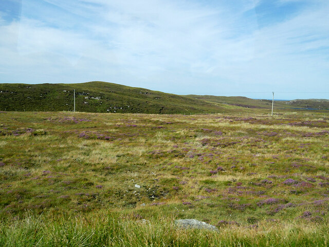
Covering an area of approximately 10 hectares, Loch Àirigh a' Chreagain is characterized by its crystal-clear waters that reflect the surrounding landscape. Surrounded by rolling hills and dense forests, the loch offers breathtaking panoramic views and a sense of serenity.
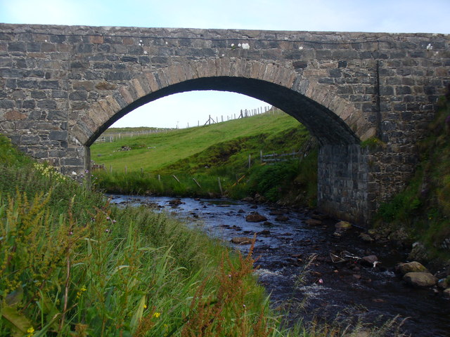
The loch is fed by numerous small streams and springs, ensuring a constant supply of freshwater. Its depth varies, with the deepest point reaching around 15 meters. The water is known for its exceptional clarity, allowing visitors to observe the diverse aquatic life beneath the surface.
The surrounding marshes and wetlands provide a habitat for a wide range of plant and animal species. It is home to various waterfowl, including ducks, geese, and swans, which can often be seen gracefully gliding across the calm waters. The marshes also support a variety of wetland plants such as reeds and rushes, creating a vibrant and ecologically diverse ecosystem.
Loch Àirigh a' Chreagain is a haven for outdoor activities such as fishing, boating, and wildlife spotting. Anglers are attracted to the loch's abundance of fish species, including trout and pike. The peaceful atmosphere and breathtaking scenery make it an ideal spot for a relaxing picnic or a leisurely stroll along the water's edge.
In conclusion, Loch Àirigh a' Chreagain is a small yet captivating freshwater loch in Ross-shire, Scotland. Its crystal-clear waters, diverse wildlife, and stunning surroundings make it a hidden gem for those seeking a peaceful retreat in the heart of the Scottish Highlands.
If you have any feedback on the listing, please let us know in the comments section below.
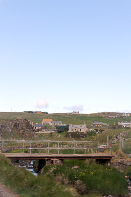
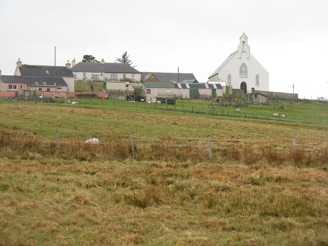
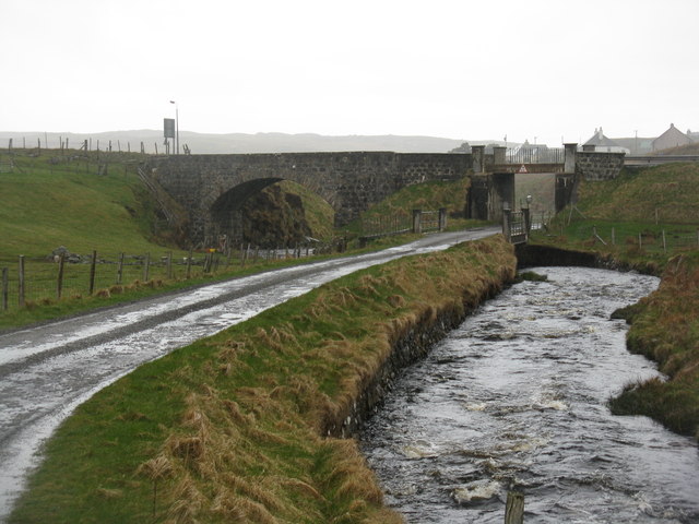
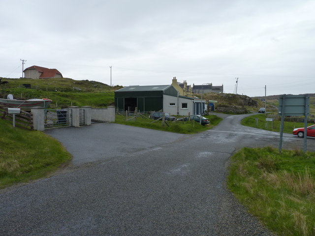
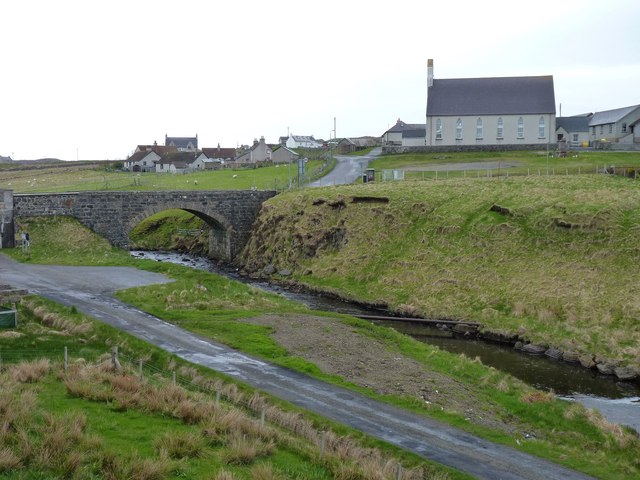
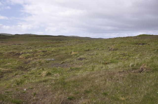
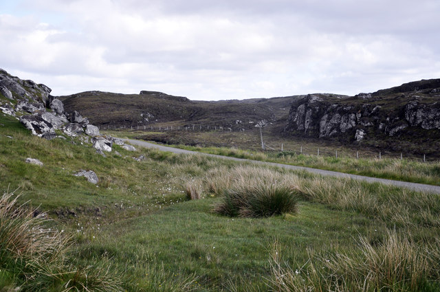
Loch Àirigh a' Chreagain Images
Images are sourced within 2km of 58.281253/-6.747612 or Grid Reference NB2142. Thanks to Geograph Open Source API. All images are credited.


Loch Àirigh a' Chreagain is located at Grid Ref: NB2142 (Lat: 58.281253, Lng: -6.747612)
Unitary Authority: Na h-Eileanan an Iar
Police Authority: Highlands and Islands
What 3 Words
///shippers.order.drag. Near Carloway, Na h-Eileanan Siar
Nearby Locations
Related Wikis

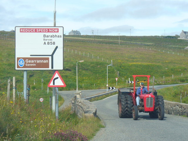
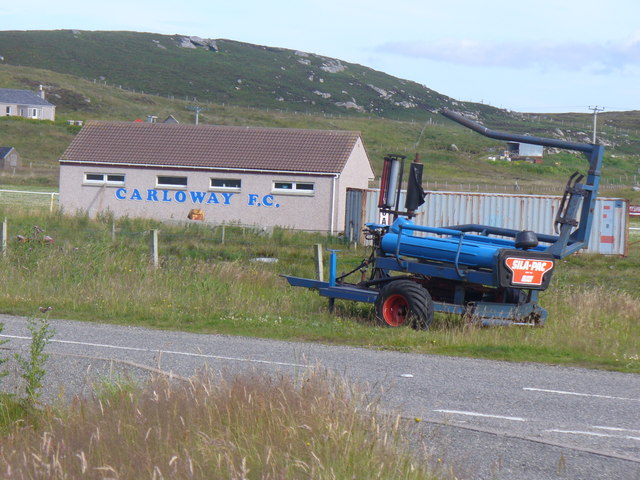
Carloway
Carloway (Scottish Gaelic: Càrlabhagh [ˈkʰaːɾɫ̪ə.ɤː]) is a crofting township and a district on the west coast of the Isle of Lewis, in the Outer Hebrides...

Borrowston, Lewis
Borrowston (Scottish Gaelic: Borghastan), with a population of about 50, is a crofting township situated on the Isle of Lewis, on the Outer Hebrides of...

Dun Carloway
Dun Carloway (Scottish Gaelic: Dùn Chàrlabhaigh) is a broch situated in the district of Carloway, on the west coast of the Isle of Lewis, Scotland (grid...

Garenin
Garenin (Scottish Gaelic: Na Gearrannan) is a crofting township on the west coast of the Isle of Lewis in the Outer Hebrides of Scotland. Garenin is in...

Tolsta Chaolais
Tolsta Chaolais (also Tolastadh Chaolais, Tolstadh a' Chaolais) is a village on the Isle of Lewis, Scotland. It consists of about forty houses, clustered...

Lewis and Harris
Lewis and Harris (Scottish Gaelic: Leòdhas agus Na Hearadh, Scots: Lewis an Harris), or Lewis with Harris, is a single Scottish island in the Outer Hebrides...

Shawbost
Shawbost (Scottish Gaelic: Siabost) is a large village in the West Side of the Isle of Lewis. The village of Shawbost has a population of around 500 and...

Siadar Wave Power Station
The Siadar Wave Power Station (also known as Siadar Wave Energy Project or SWEP) was a proposed 4 MW wave farm 400 metres (1,300 ft) off the shore of Siadar...
Nearby Amenities
Located within 500m of 58.281253,-6.747612Have you been to Loch Àirigh a' Chreagain?
Leave your review of Loch Àirigh a' Chreagain below (or comments, questions and feedback).