Cnoc na Clòiche Mòire
Hill, Mountain in Ross-shire
Scotland
Cnoc na Clòiche Mòire

Cnoc na Clòiche Mòire, located in Ross-shire, Scotland, is a prominent hill/mountain that offers breathtaking views and a challenging hiking experience. Rising to a height of approximately 900 meters (2,953 feet), it is a popular destination for outdoor enthusiasts and nature lovers.
The hill is characterized by rocky terrain and steep slopes, making it a thrilling adventure for hikers and climbers. Its name, Cnoc na Clòiche Mòire, translates to "Hill of the Big Stone" in Scottish Gaelic, which is representative of the large boulder that stands near its summit.
The ascent to the top of Cnoc na Clòiche Mòire can be quite demanding, with several paths leading to the peak, each varying in difficulty. As hikers make their way up, they are rewarded with stunning panoramic vistas of the surrounding countryside, including the picturesque lochs and rolling green hills of Ross-shire.
The hill is also home to a diverse range of flora and fauna, including various bird species, deer, and wildflowers. It is not uncommon to spot rare and protected species within the area, adding to the appeal for nature enthusiasts and wildlife photographers.
Cnoc na Clòiche Mòire is a place of natural beauty and tranquility, offering visitors a chance to immerse themselves in the rugged Scottish landscape. Whether it's conquering the challenging ascent or simply enjoying the serenity of the surroundings, this hill/mountain provides an unforgettable experience for all who venture to its summit.
If you have any feedback on the listing, please let us know in the comments section below.
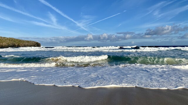
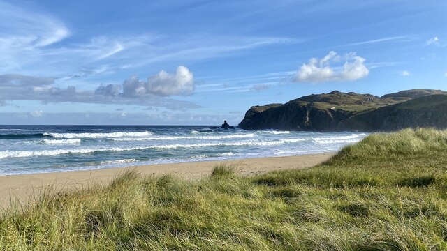
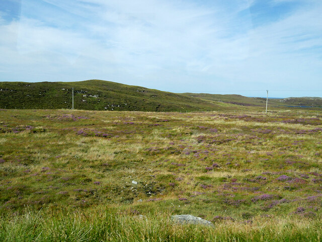
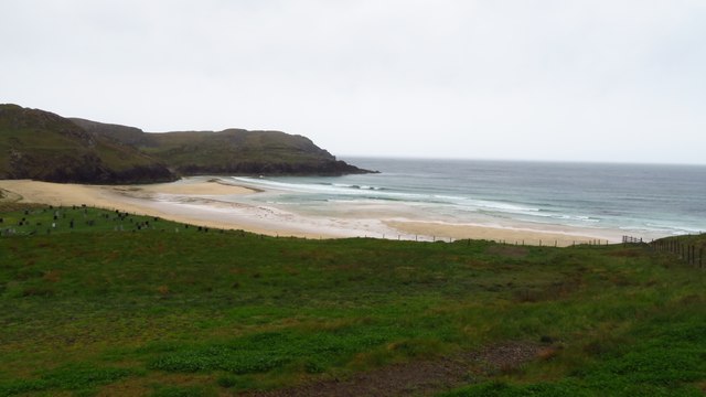
Cnoc na Clòiche Mòire Images
Images are sourced within 2km of 58.296281/-6.7696352 or Grid Reference NB2044. Thanks to Geograph Open Source API. All images are credited.


Cnoc na Clòiche Mòire is located at Grid Ref: NB2044 (Lat: 58.296281, Lng: -6.7696352)
Unitary Authority: Na h-Eileanan an Iar
Police Authority: Highlands and Islands
What 3 Words
///hissing.play.twitches. Near Carloway, Na h-Eileanan Siar
Related Wikis

Garenin
Garenin (Scottish Gaelic: Na Gearrannan) is a crofting township on the west coast of the Isle of Lewis in the Outer Hebrides of Scotland. Garenin is in...

Carloway
Carloway (Scottish Gaelic: Càrlabhagh [ˈkʰaːɾɫ̪ə.ɤː]) is a crofting township and a district on the west coast of the Isle of Lewis, in the Outer Hebrides...

Borrowston, Lewis
Borrowston (Scottish Gaelic: Borghastan), with a population of about 50, is a crofting township situated on the Isle of Lewis, on the Outer Hebrides of...

Dun Carloway
Dun Carloway (Scottish Gaelic: Dùn Chàrlabhaigh) is a broch situated in the district of Carloway, on the west coast of the Isle of Lewis, Scotland (grid...
Have you been to Cnoc na Clòiche Mòire?
Leave your review of Cnoc na Clòiche Mòire below (or comments, questions and feedback).