Loch na Learga
Lake, Pool, Pond, Freshwater Marsh in Ross-shire
Scotland
Loch na Learga

Loch na Learga is a picturesque freshwater loch located in Ross-shire, Scotland. With its tranquil surroundings and stunning natural beauty, it has become a popular destination for nature enthusiasts and outdoor lovers.
Covering an area of approximately 10 hectares, Loch na Learga is nestled amidst rolling hills and lush green landscapes. The loch is surrounded by dense vegetation, including reeds, grasses, and various types of shrubs, which provide a habitat for a diverse range of wildlife.
The water of Loch na Learga is crystal clear and is home to a variety of fish species, including brown trout and pike. Fishing is a popular activity here, attracting anglers from far and wide.
The surrounding area of the loch is a haven for birdwatchers, as it attracts a wide array of bird species. Visitors may spot common birds such as swans, ducks, and geese, as well as rarer species like ospreys and herons. The tranquil atmosphere and abundance of birdlife make Loch na Learga a perfect spot for birdwatching and photography.
The loch also offers opportunities for recreational activities such as boating and kayaking. Its calm waters and peaceful surroundings provide an ideal setting for a leisurely paddle or a relaxing boat ride.
Overall, Loch na Learga is a hidden gem in Ross-shire, offering a peaceful retreat for those seeking to immerse themselves in nature and enjoy the tranquility of a freshwater loch.
If you have any feedback on the listing, please let us know in the comments section below.
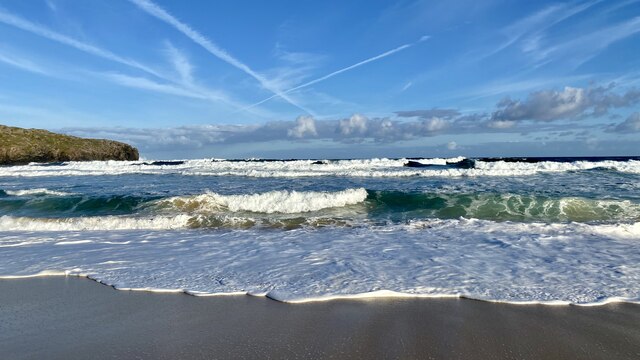
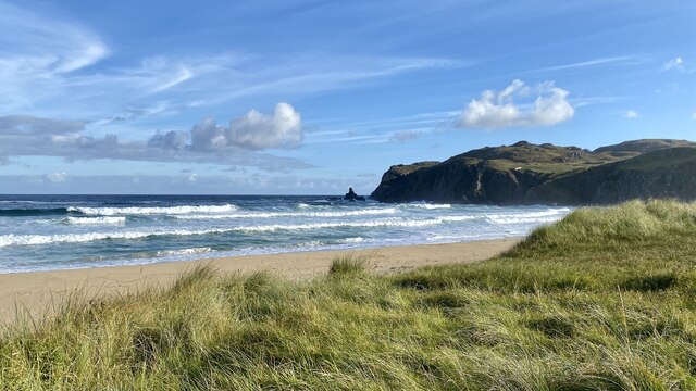
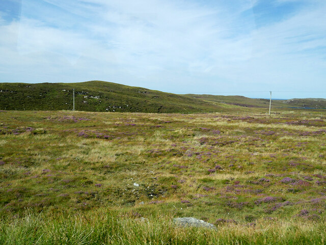
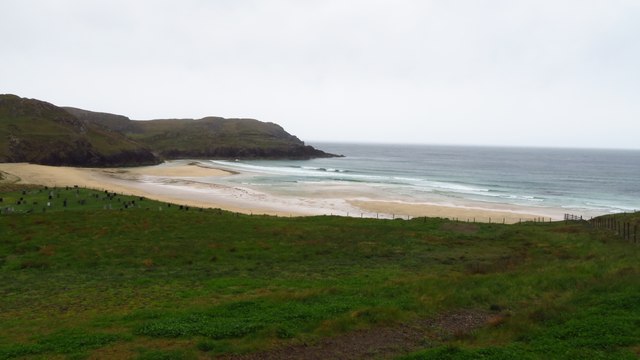
Loch na Learga Images
Images are sourced within 2km of 58.29682/-6.7660346 or Grid Reference NB2044. Thanks to Geograph Open Source API. All images are credited.


Loch na Learga is located at Grid Ref: NB2044 (Lat: 58.29682, Lng: -6.7660346)
Unitary Authority: Na h-Eileanan an Iar
Police Authority: Highlands and Islands
What 3 Words
///strumming.harvest.tones. Near Carloway, Na h-Eileanan Siar
Related Wikis

Garenin
Garenin (Scottish Gaelic: Na Gearrannan) is a crofting township on the west coast of the Isle of Lewis in the Outer Hebrides of Scotland. Garenin is in...

Carloway
Carloway (Scottish Gaelic: Càrlabhagh [ˈkʰaːɾɫ̪ə.ɤː]) is a crofting township and a district on the west coast of the Isle of Lewis, in the Outer Hebrides...

Borrowston, Lewis
Borrowston (Scottish Gaelic: Borghastan), with a population of about 50, is a crofting township situated on the Isle of Lewis, on the Outer Hebrides of...

Dun Carloway
Dun Carloway (Scottish Gaelic: Dùn Chàrlabhaigh) is a broch situated in the district of Carloway, on the west coast of the Isle of Lewis, Scotland (grid...
Have you been to Loch na Learga?
Leave your review of Loch na Learga below (or comments, questions and feedback).