An Reithe
Hill, Mountain in Inverness-shire
Scotland
An Reithe
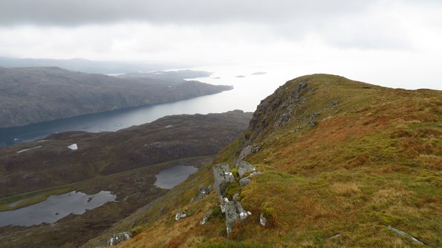
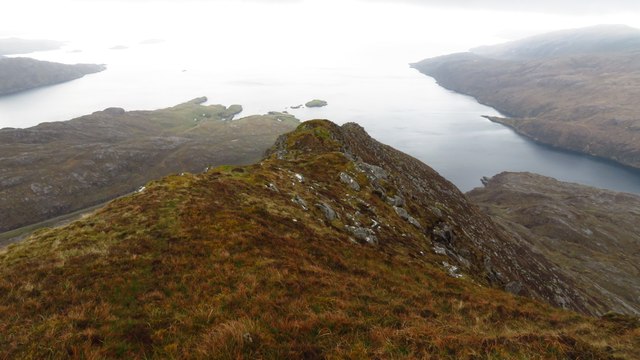
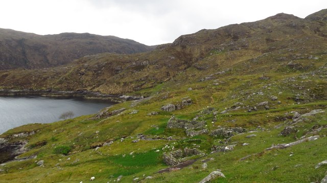
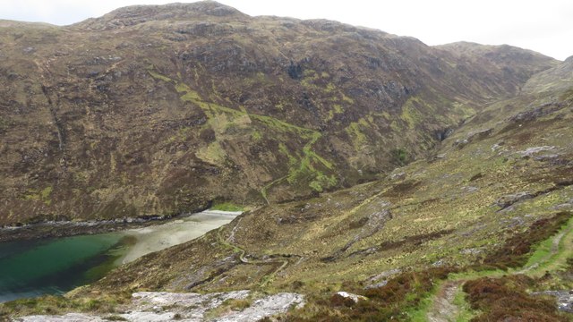
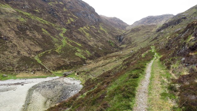
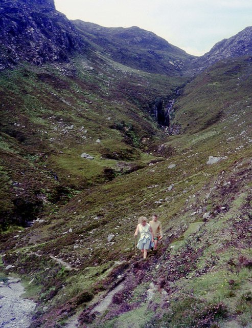
Located in Inverness-shire, Scotland, An Reithe is a picturesque hill that offers stunning views of the surrounding landscape. Standing at an elevation of approximately 600 meters, An Reithe is a popular destination for hikers and outdoor enthusiasts looking to experience the beauty of the Scottish Highlands.
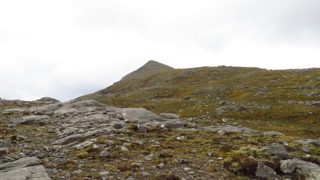
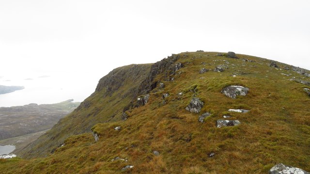
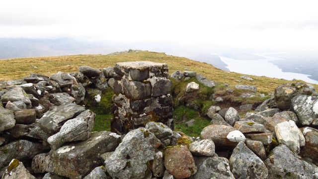
The hill is characterized by its rugged terrain, with rocky outcrops and heather-covered slopes creating a challenging yet rewarding hiking experience. The summit of An Reithe offers panoramic views of the surrounding mountains and valleys, making it a perfect spot for taking in the natural beauty of the area.
An Reithe is part of the larger Cairngorms National Park, which is known for its diverse wildlife and stunning scenery. Visitors to An Reithe may catch a glimpse of red deer, ptarmigan, or even the elusive Scottish wildcat during their hike.
Overall, An Reithe is a must-visit destination for outdoor enthusiasts looking to explore the natural beauty of the Scottish Highlands and experience the rugged charm of the Inverness-shire countryside.
If you have any feedback on the listing, please let us know in the comments section below.
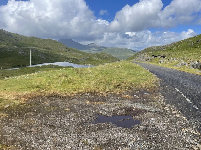
An Reithe Images
Images are sourced within 2km of 57.927302/-6.7236074 or Grid Reference NB2002. Thanks to Geograph Open Source API. All images are credited.


An Reithe is located at Grid Ref: NB2002 (Lat: 57.927302, Lng: -6.7236074)
Unitary Authority: Na h-Eileanan an Iar
Police Authority: Highlands and Islands
What 3 Words
///rant.secure.february. Near Tarbert, Na h-Eileanan Siar
Nearby Locations
Related Wikis

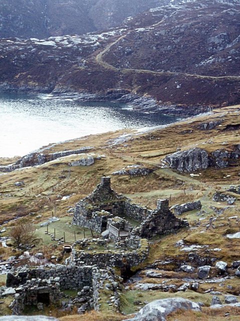
Rèinigeadal
Rèinigeadal (or Rhenigidale) is a small settlement in Harris, in the Western Isles in Scotland. It is situated on the east coast of Harris 8 kilometres...

Loch Seaforth
Loch Seaforth (Scottish Gaelic: Loch Shiphoirt or Shìophoirt) is a sea loch in the Outer Hebrides of Scotland. It consists of three distinct sections;...

Sgeotasaigh
Scotasay (Scottish Gaelic: Sgeotasaigh) is small island in the Outer Hebrides of Scotland. It lies 1 kilometre (0.6 miles) off the east coast of Harris...

Harris distillery
Harris distillery is a Scotch whisky and Gin distillery in Tarbert on the Isle of Harris, Scotland. The distillery was the first legal distillery ever...
Nearby Amenities
Located within 500m of 57.927302,-6.7236074Have you been to An Reithe?
Leave your review of An Reithe below (or comments, questions and feedback).