Loch an Reithe
Lake, Pool, Pond, Freshwater Marsh in Inverness-shire
Scotland
Loch an Reithe
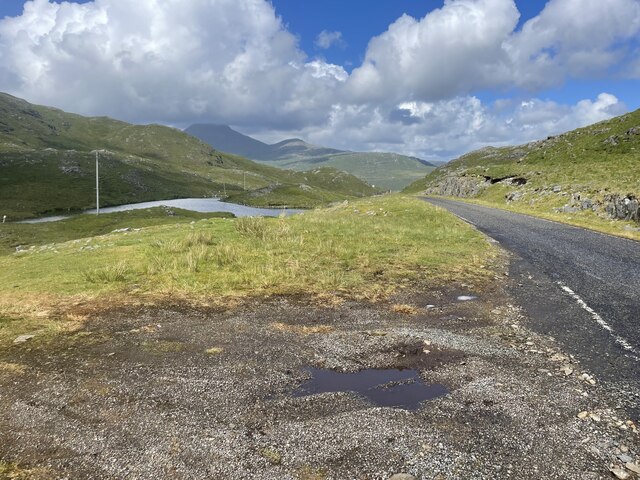
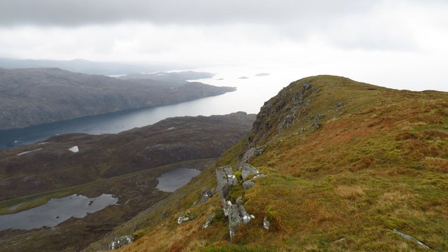
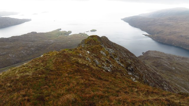
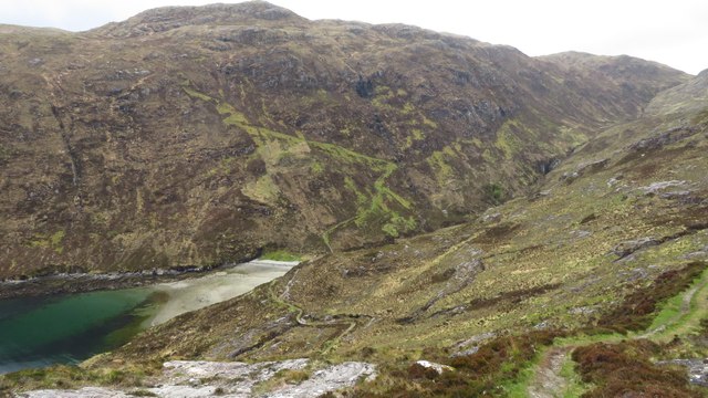
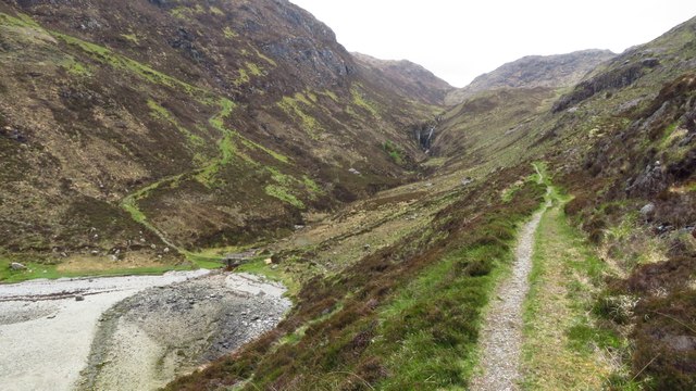
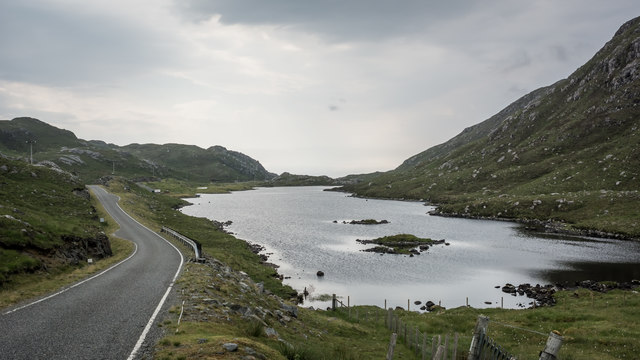
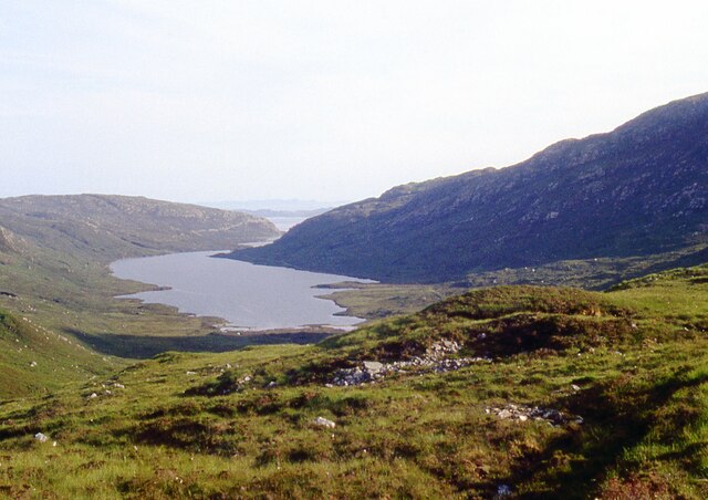
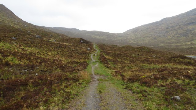
Located in the picturesque region of Inverness-shire, Scotland, Loch an Reithe is a captivating freshwater loch encompassing an area of approximately 10 hectares. Nestled amidst the breathtaking Scottish Highlands, this serene body of water boasts a variety of natural features, including a lake, pool, pond, and freshwater marsh.
The tranquil Loch an Reithe is surrounded by lush vegetation, offering a haven for an array of flora and fauna. The water within the loch is crystal clear, reflecting the stunning landscape that surrounds it. Its relatively small size lends a sense of intimacy and seclusion, making it a perfect destination for those seeking tranquility and nature enthusiasts alike.
The diverse ecosystem of Loch an Reithe supports a rich and varied wildlife population. Birdwatchers will delight in the presence of various species, including ducks, geese, and herons that can be spotted along the water's edge. Additionally, the loch is home to an assortment of freshwater fish, such as trout and perch, providing ample opportunities for fishing enthusiasts.
Surrounding the loch, visitors can explore the verdant freshwater marsh, which serves as a habitat for a myriad of aquatic plants and wildlife. The marshland is teeming with vibrant plant life, including reeds, rushes, and water lilies, further enhancing the natural beauty of Loch an Reithe.
With its idyllic setting and diverse ecosystem, Loch an Reithe offers a captivating experience for those seeking respite in nature. Whether it's birdwatching, fishing, or simply enjoying the peaceful surroundings, this hidden gem in Inverness-shire is sure to enchant all who venture to its shores.
If you have any feedback on the listing, please let us know in the comments section below.
Loch an Reithe Images
Images are sourced within 2km of 57.927321/-6.7308297 or Grid Reference NB2002. Thanks to Geograph Open Source API. All images are credited.


Loch an Reithe is located at Grid Ref: NB2002 (Lat: 57.927321, Lng: -6.7308297)
Unitary Authority: Na h-Eileanan an Iar
Police Authority: Highlands and Islands
What 3 Words
///brothers.mouse.laugh. Near Tarbert, Na h-Eileanan Siar
Nearby Locations
Related Wikis

Rèinigeadal
Rèinigeadal (or Rhenigidale) is a small settlement in Harris, in the Western Isles in Scotland. It is situated on the east coast of Harris 8 kilometres...

Loch Seaforth
Loch Seaforth (Scottish Gaelic: Loch Shiphoirt or Shìophoirt) is a sea loch in the Outer Hebrides of Scotland. It consists of three distinct sections;...

Harris distillery
Harris distillery is a Scotch whisky and Gin distillery in Tarbert on the Isle of Harris, Scotland. The distillery was the first legal distillery ever...

Tarbert, Harris
Tarbert (Scottish Gaelic: An Tairbeart [ən̪ˠ ˈt̪ɛrʲɛbərˠʃt̪]) is the main community on Harris in the Western Isles of Scotland. The name means "isthmus...
Nearby Amenities
Located within 500m of 57.927321,-6.7308297Have you been to Loch an Reithe?
Leave your review of Loch an Reithe below (or comments, questions and feedback).