Cnoc Garbh a' Mhill
Hill, Mountain in Argyllshire
Scotland
Cnoc Garbh a' Mhill
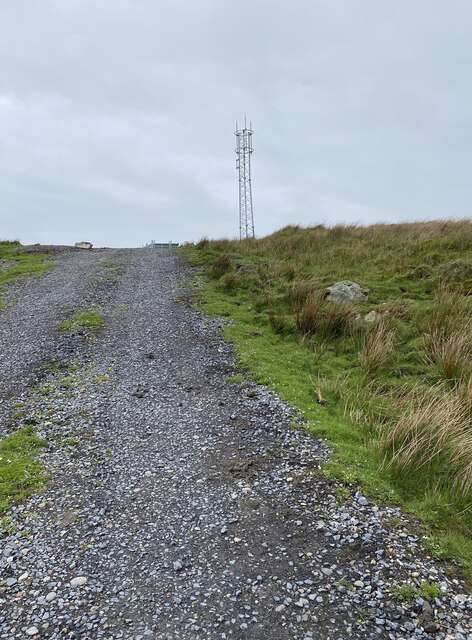
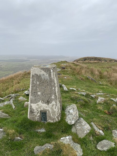
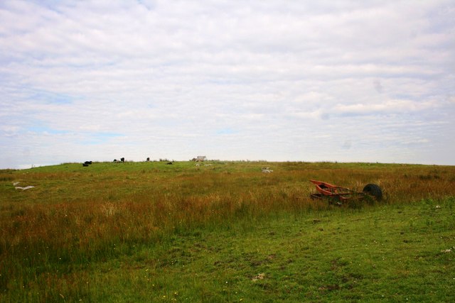
Cnoc Garbh a' Mhill is a hill located in Argyllshire, Scotland. It is part of the Arrochar Alps range and stands at an elevation of 631 meters (2,070 feet). The hill is known for its rugged terrain, with steep slopes and rocky outcrops making it a challenging climb for hikers and mountaineers.
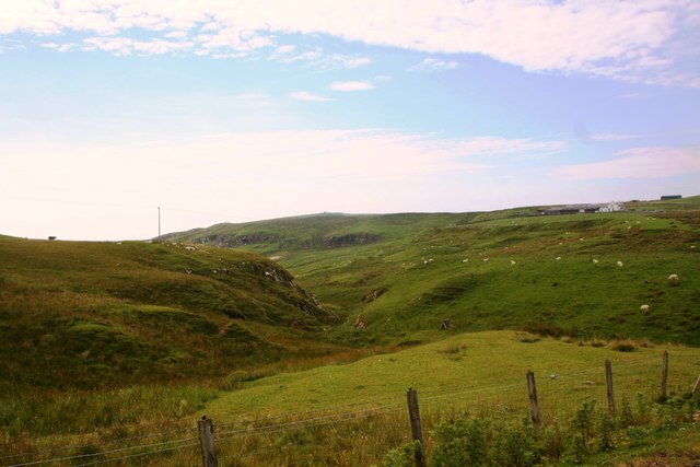
Cnoc Garbh a' Mhill offers stunning panoramic views of the surrounding countryside, including Loch Lomond and the Trossachs National Park. On a clear day, it is possible to see as far as the Isle of Arran and the Mull of Kintyre.
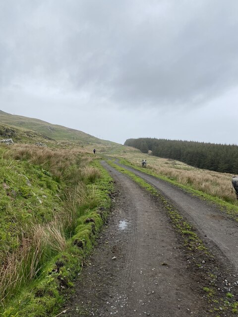
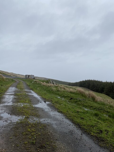
The hill is a popular destination for outdoor enthusiasts looking for a day of hiking and exploration. There are several different routes to the summit, with varying levels of difficulty, making it suitable for both experienced climbers and casual walkers.
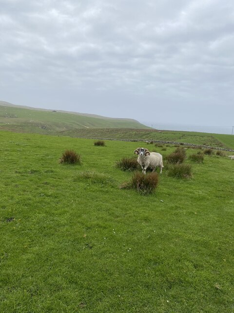
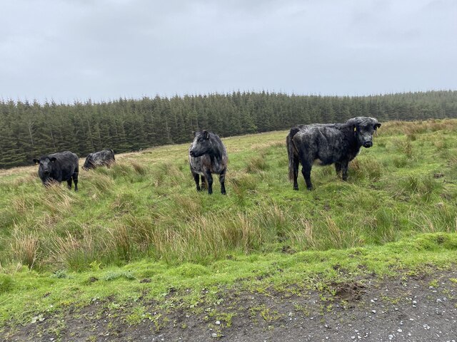
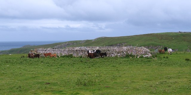
Cnoc Garbh a' Mhill is also home to a diverse range of flora and fauna, including heather, bracken, and red deer. The hill is designated as a Site of Special Scientific Interest (SSSI) due to its unique natural habitats and geological features.
Overall, Cnoc Garbh a' Mhill is a beautiful and challenging hill that offers visitors a rewarding outdoor experience in the Scottish Highlands.
If you have any feedback on the listing, please let us know in the comments section below.
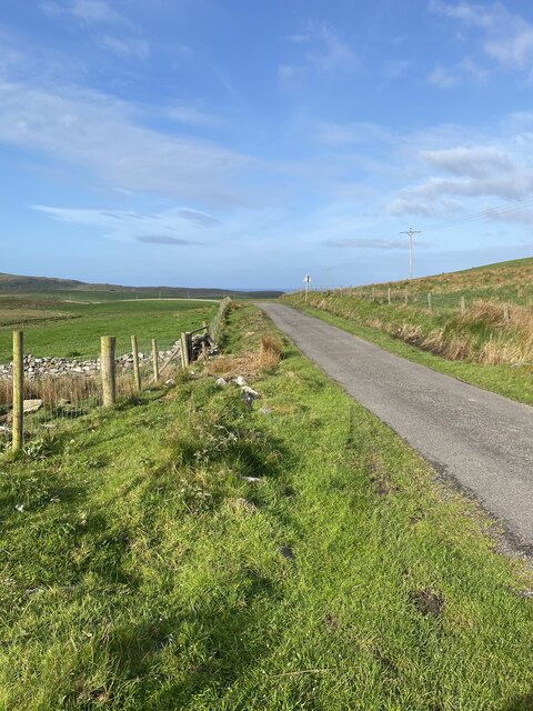
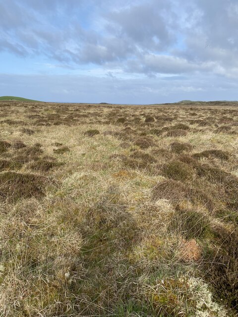
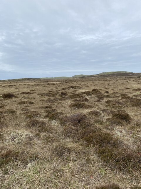
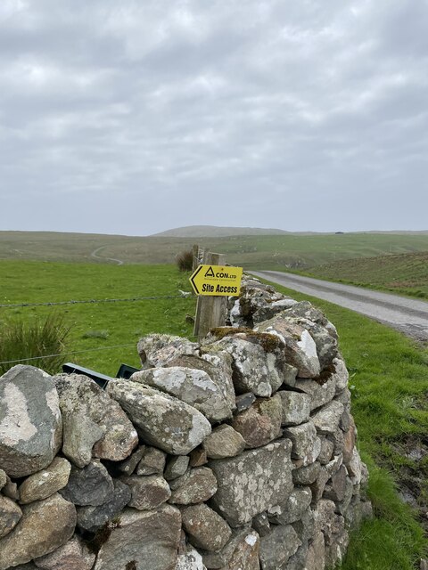
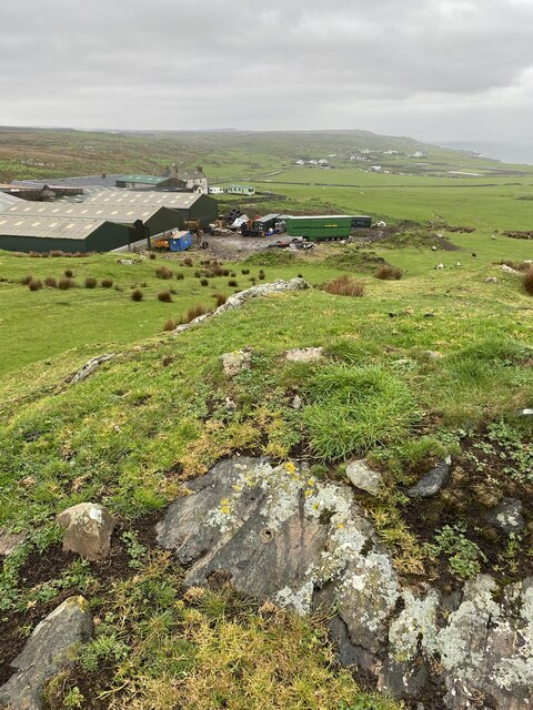
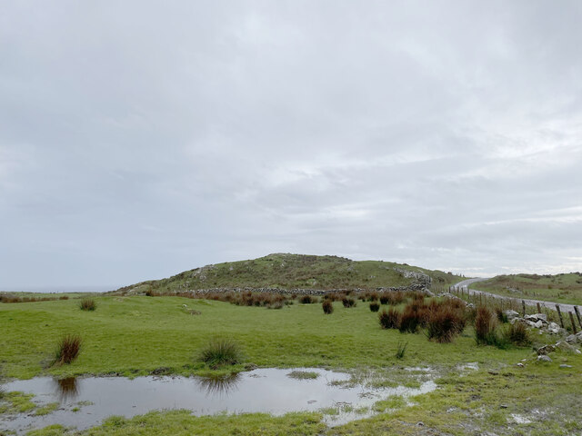
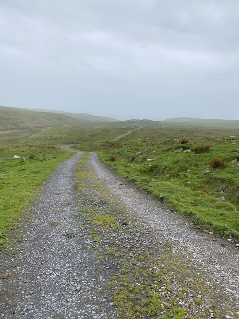
Cnoc Garbh a' Mhill Images
Images are sourced within 2km of 55.713421/-6.4523714 or Grid Reference NR2055. Thanks to Geograph Open Source API. All images are credited.
Cnoc Garbh a' Mhill is located at Grid Ref: NR2055 (Lat: 55.713421, Lng: -6.4523714)
Unitary Authority: Argyll and Bute
Police Authority: Argyll and West Dunbartonshire
What 3 Words
///toggle.fluctuate.trio. Near Port Charlotte, Argyll & Bute
Nearby Locations
Related Wikis

Nerabus
Nerabus (otherwise Nereabolls) is a hamlet in the west of the isle of Islay in Scotland. The vicinity is noted for its scenic qualities and diverse birdlife...

Easter Ellister
Easter Ellister (Aolastradh) is a settlement on the Rinns of Islay on Islay in the Inner Hebrides of Scotland. It lies just off the A847 road between Portnahaven...

Rinns of Islay
The Rinns of Islay (Scottish Gaelic: Na Roinn Ìleach; alternative English spelling Rhinns of Islay) is an area on the west of the island of Islay in the...

Portnahaven
Portnahaven (Scottish Gaelic: Port na h-Abhainne, meaning river port) is a village on Islay in the Inner Hebrides, Scotland. The village is within the...
Related Videos

June evening in Lossit Bay, Isle of Islay
A short stroll along the beach in Lossit Bay on the west coast of Islay before turning around to look at the approaching sunset.
Lossit Bay, Isle of Islay, in 360° view
My first 360° video: A short video of beach scenes in Lossit Bay on the west coast of Islay in 360° view. Use your mouse or the on ...

Exploring Lossit Bay, Isle of Islay, Scotland
A beautiful June evening on the west coast of the Isle of Islay in Scotland. We are in Lossit Bay, well away from any road or track, ...
Have you been to Cnoc Garbh a' Mhill?
Leave your review of Cnoc Garbh a' Mhill below (or comments, questions and feedback).