Cnoc Mòr
Hill, Mountain in Argyllshire
Scotland
Cnoc Mòr
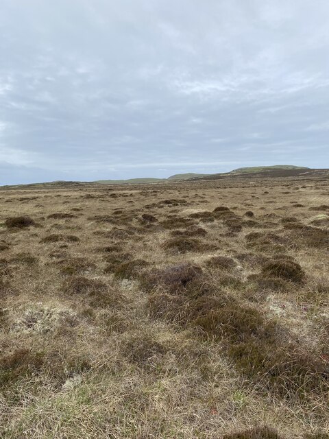
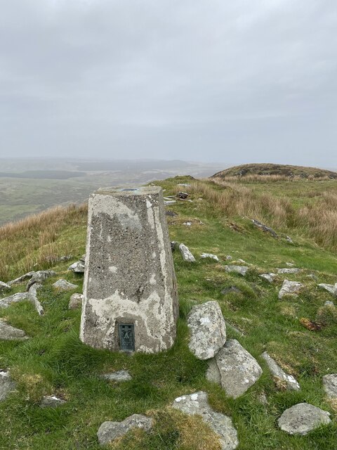
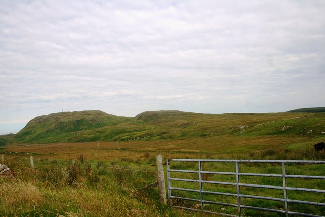
Cnoc Mòr is a prominent hill located in Argyllshire, Scotland. It is situated near the village of Arrochar and forms part of the Arrochar Alps mountain range. Standing at an elevation of 858 meters (2,815 feet), Cnoc Mòr offers stunning panoramic views of the surrounding area, including Loch Long and the nearby mountains of Ben Arthur and The Cobbler.
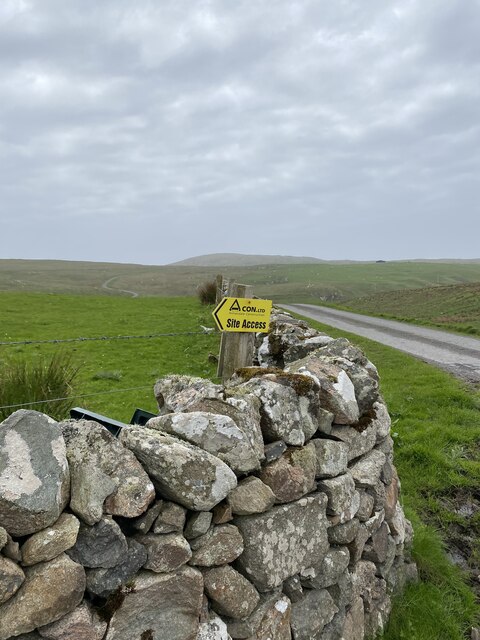
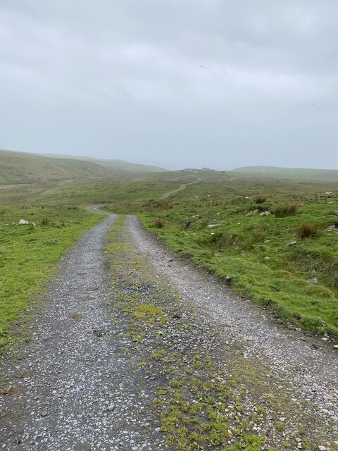
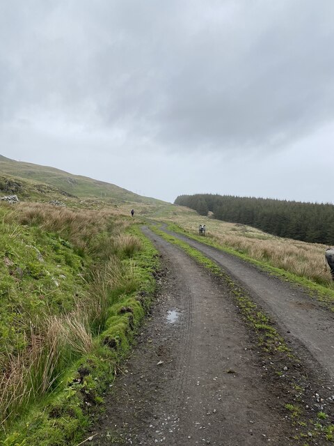
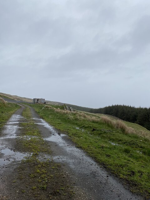
The hill is a popular destination for hikers and outdoor enthusiasts, with several well-marked trails leading to the summit. The ascent is challenging but rewarding, with rocky terrain and steep slopes providing a thrilling adventure for experienced climbers.
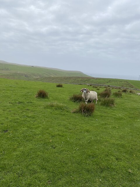
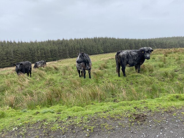
Cnoc Mòr is rich in biodiversity, with a variety of plant and animal species inhabiting its slopes. The hill is also steeped in history, with ancient ruins and archaeological sites scattered throughout the area, adding an element of mystique to the overall experience.
Overall, Cnoc Mòr is a must-visit destination for those seeking a taste of Scotland's rugged beauty and rich cultural heritage. Its breathtaking views, challenging terrain, and historical significance make it a truly unique and memorable outdoor adventure.
If you have any feedback on the listing, please let us know in the comments section below.
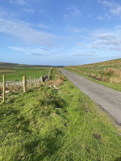
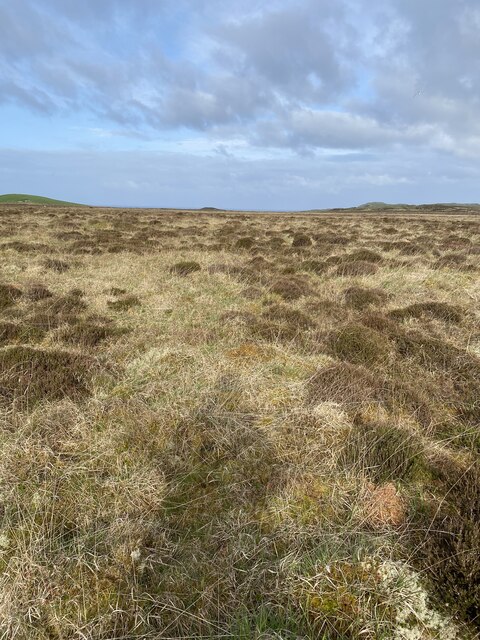
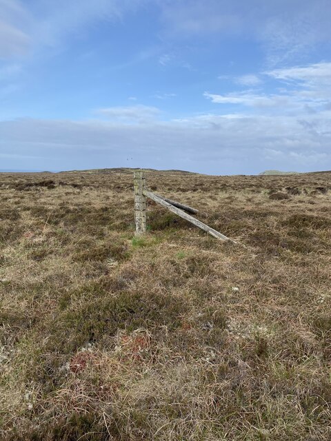
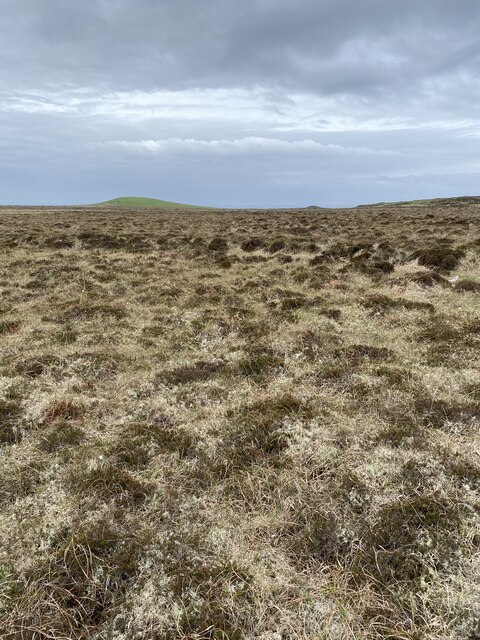
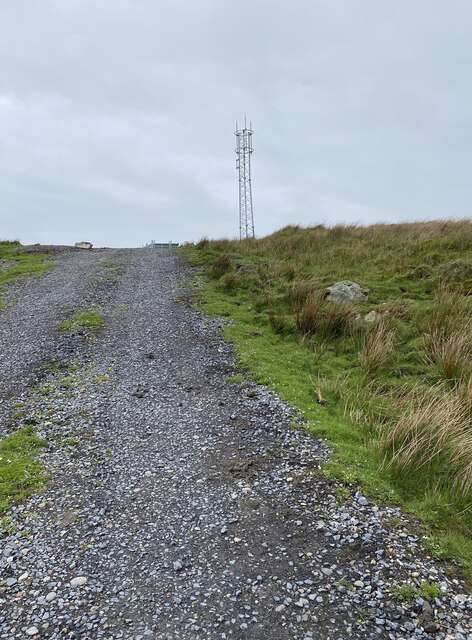
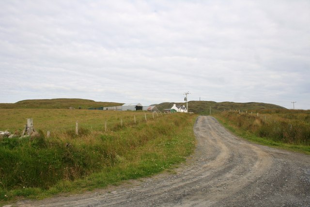
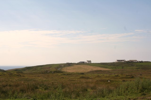
Cnoc Mòr Images
Images are sourced within 2km of 55.728434/-6.4535891 or Grid Reference NR2057. Thanks to Geograph Open Source API. All images are credited.
Cnoc Mòr is located at Grid Ref: NR2057 (Lat: 55.728434, Lng: -6.4535891)
Unitary Authority: Argyll and Bute
Police Authority: Argyll and West Dunbartonshire
What 3 Words
///trombone.cookers.student. Near Port Charlotte, Argyll & Bute
Nearby Locations
Related Wikis

Rinns of Islay
The Rinns of Islay (Scottish Gaelic: Na Roinn Ìleach; alternative English spelling Rhinns of Islay) is an area on the west of the island of Islay in the...

Nerabus
Nerabus (otherwise Nereabolls) is a hamlet in the west of the isle of Islay in Scotland. The vicinity is noted for its scenic qualities and diverse birdlife...

Easter Ellister
Easter Ellister (Aolastradh) is a settlement on the Rinns of Islay on Islay in the Inner Hebrides of Scotland. It lies just off the A847 road between Portnahaven...

RAF Kilchiaran
RAF Kilchiaran was a Royal Air Force radar station situated on the Isle of Islay in Scotland. It was originally active from 1940-1945. In 1954 the base...
Have you been to Cnoc Mòr?
Leave your review of Cnoc Mòr below (or comments, questions and feedback).