Cnoc Buidhe

Hill, Mountain in Inverness-shire

Scotland

Cnoc Buidhe

Long abandoned whaling station at Bunavoneader Viewed from across the water, with the bulk of Mònan rising beyond.

Whaling Station, 1904 Gaunt remains of a long-defunct industry, with a lone, tapering red brick chimney rising from the foundations of the boiling house/desiccator. Little else but the carcass ramp survives. Founded by Norwegian Karl Herlofsen, the factory was acquired by Lever Bros in 1922 when the market was declining, but was abandoned by them in 1929, a financial failure. Leverhulme never pursued his bizarre notion of turning whale meat into tinned sausages for Africans. The whaling station finally closed in 1951.

Taken from "Western Seaboard: An Illustrated Architectural Guide", by Mary Miers, 2008. Published by the Rutland Press.
Long abandoned whaling station at Bunavoneader Credit: Richard Dorrell

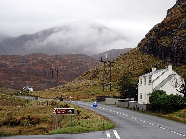
Cnoc Buidhe is a prominent hill located in Inverness-shire, Scotland. It forms part of the beautiful Scottish Highlands, known for its stunning landscapes and rugged terrain. The hill is situated near the small village of Cannich, approximately 25 miles west of the city of Inverness.

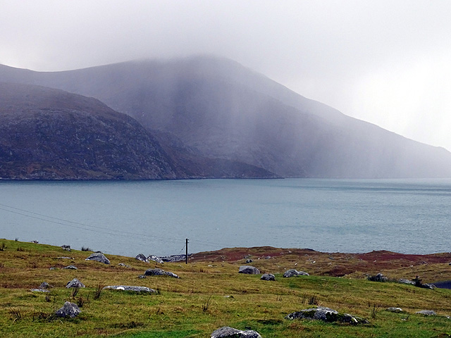
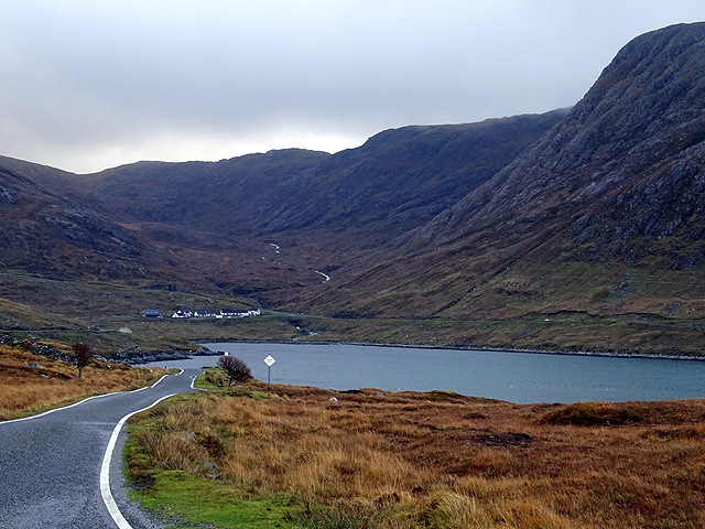
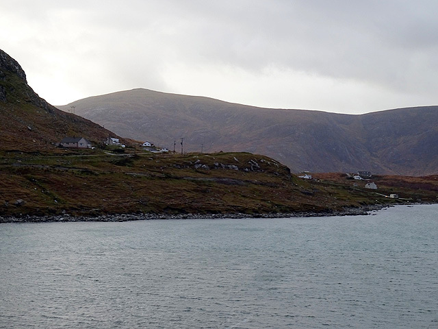
Standing at an elevation of around 1,466 feet (447 meters), Cnoc Buidhe offers magnificent panoramic views of the surrounding countryside. The hill is characterized by its gentle slopes and grassy terrain, making it an accessible and popular destination for hikers and outdoor enthusiasts. Its relatively moderate height also makes it suitable for those looking for a less strenuous climb compared to the more challenging nearby Munros (Scottish mountains over 3,000 feet).

Cnoc Buidhe is rich in natural beauty, with its slopes adorned with heather and other wildflowers, providing a colorful spectacle during the summer months. The hill is also home to a diverse range of wildlife, including red deer, mountain hares, and various bird species, offering nature enthusiasts an opportunity for wildlife spotting.

The ascent to the summit of Cnoc Buidhe is a rewarding experience, offering breathtaking views over Glen Cannich and the surrounding hills and lochs. On clear days, it is even possible to catch glimpses of the distant Ben Nevis, the highest mountain in the British Isles.

Overall, Cnoc Buidhe is a captivating hill in Inverness-shire, offering visitors a chance to immerse themselves in the natural beauty and tranquility of the Scottish Highlands.

If you have any feedback on the listing, please let us know in the comments section below.
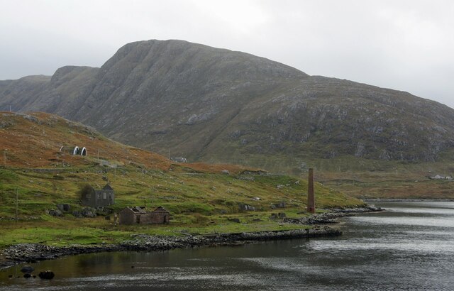
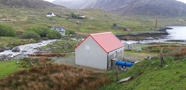
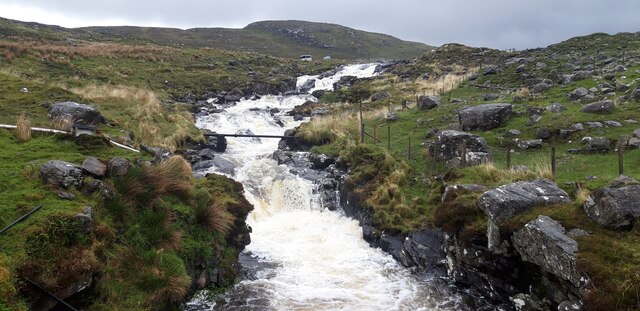
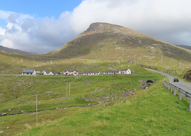
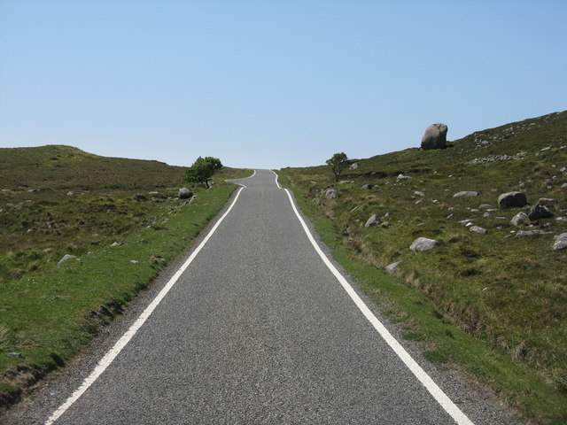
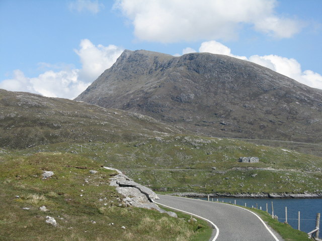
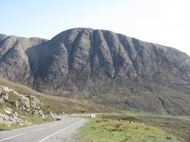
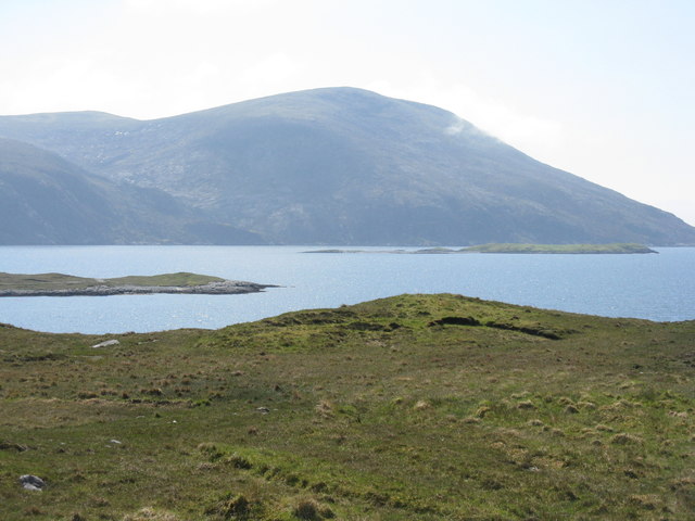
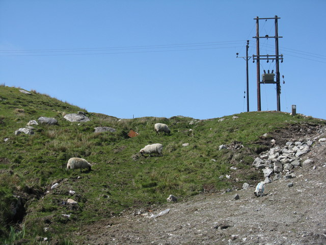
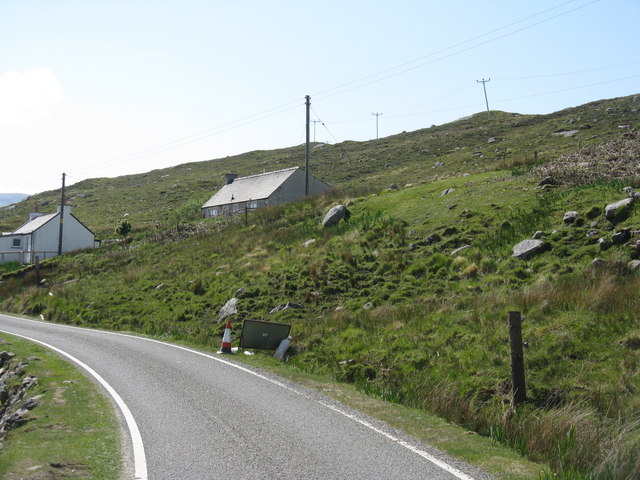
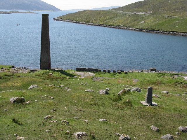
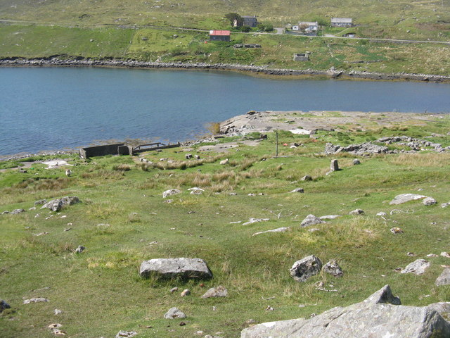
Cnoc Buidhe Images

Images are sourced within 2km of 57.922754/-6.8580267 or Grid Reference NB1202. Thanks to Geograph Open Source API. All images are credited.

Long abandoned whaling station at Bunavoneader Viewed from across the water, with the bulk of Mònan rising beyond.

Whaling Station, 1904 Gaunt remains of a long-defunct industry, with a lone, tapering red brick chimney rising from the foundations of the boiling house/desiccator. Little else but the carcass ramp survives. Founded by Norwegian Karl Herlofsen, the factory was acquired by Lever Bros in 1922 when the market was declining, but was abandoned by them in 1929, a financial failure. Leverhulme never pursued his bizarre notion of turning whale meat into tinned sausages for Africans. The whaling station finally closed in 1951.

Taken from "Western Seaboard: An Illustrated Architectural Guide", by Mary Miers, 2008. Published by the Rutland Press.
Long abandoned whaling station at Bunavoneader
Viewed from across the water, with the bulk of Mònan rising beyond. Whaling Station, 1904 Gaunt remains of a long-defunct industry, with a lone, tapering red brick chimney rising from the foundations of the boiling house/desiccator. Little else but the carcass ramp survives. Founded by Norwegian Karl Herlofsen, the factory was acquired by Lever Bros in 1922 when the market was declining, but was abandoned by them in 1929, a financial failure. Leverhulme never pursued his bizarre notion of turning whale meat into tinned sausages for Africans. The whaling station finally closed in 1951. Taken from "Western Seaboard: An Illustrated Architectural Guide", by Mary Miers, 2008. Published by the Rutland Press.
Hydro-electric Power Station at Bun Abhainn Eadarra The nearby whaling station is visible in the background.
Hydro-electric Power Station at Bun Abhainn Eadarra
The nearby whaling station is visible in the background.
Abhainn Eadarra after heavy rain
Ceann an Ora A row of modern houses dwarfed by Sròn a' Sgaoth rising above.
Ceann an Ora
A row of modern houses dwarfed by Sròn a' Sgaoth rising above.
The island of Iosaigh Viewed from Ardhasaig/Aird Asaig.
The island of Iosaigh
Viewed from Ardhasaig/Aird Asaig.
By Ãird Asaig Looking towards Beinn Dhubh which is swathed in a rainstorm.
By Ãird Asaig
Looking towards Beinn Dhubh which is swathed in a rainstorm.
Skirting Ãird Bun Abhainn Eadarra Beside Loch Bun Abhainn Eadarra.
Skirting Ãird Bun Abhainn Eadarra
Beside Loch Bun Abhainn Eadarra.
Road junction at Ãird Asaig/Ardhasaig The appropriately named 'Roadside Cottage' on the right, with Mulla bho Dheas partially obscured by cloud.
Road junction at Ãird Asaig/Ardhasaig
The appropriately named 'Roadside Cottage' on the right, with Mulla bho Dheas partially obscured by cloud.
A view towards Ãird Asaig/Ardhasaig Looking across Loch Bun Abhainn Eadarra.
A view towards Ãird Asaig/Ardhasaig
Looking across Loch Bun Abhainn Eadarra.
Glacial erratic by the B887 The road to Hushinish from Tarbert.
Glacial erratic by the B887
The road to Hushinish from Tarbert.
Looking east from Ãird Bun Abhainn Eadarra With Sgaoth Iosal beyond and Loch Bun Abhainn Eadarra below to the right.
Looking east from Ãird Bun Abhainn Eadarra
With Sgaoth Iosal beyond and Loch Bun Abhainn Eadarra below to the right.
The cliffs of Geodhan Dubh The northern aspect of Gillaval Dubh, seen from the A859 looking south.
The cliffs of Geodhan Dubh
The northern aspect of Gillaval Dubh, seen from the A859 looking south.
Loch Bun Abhainn Eadarra Looking southwest from above Gob an Sgurr to Beinn Dubh.
Loch Bun Abhainn Eadarra
Looking southwest from above Gob an Sgurr to Beinn Dubh.
Rough grazing at Bun Abhainn Eadarra With electricity transmission poles; these seem to be replacements for those seen in Google Earth imagery of 2009.
Rough grazing at Bun Abhainn Eadarra
With electricity transmission poles; these seem to be replacements for those seen in Google Earth imagery of 2009.
Houses at Bun Abhainn Eadarra On a rough hillside. The road is the B887, ending at Huisinis.
Houses at Bun Abhainn Eadarra
On a rough hillside. The road is the B887, ending at Huisinis.
Remains of whaling station at Bun Abhainn Eadarra Apart from the chimney, not much now remains of the whaling station on Loch Bun Abhainn Eadarra, near Ardhasaig.
Remains of whaling station at Bun Abhainn Eadarra
Apart from the chimney, not much now remains of the whaling station on Loch Bun Abhainn Eadarra, near Ardhasaig.
Old whaling station remains At Bun Abhainn Eadarra; little remains apart from the chimney <a href="https://www.geograph.org.uk/photo/5007689">NB1303 : Remains of whaling station at Bun Abhainn Eadarra</a> and concrete bases of buildings.
Old whaling station remains
At Bun Abhainn Eadarra; little remains apart from the chimney NB1303 : Remains of whaling station at Bun Abhainn Eadarra and concrete bases of buildings.
The B887 at Loch Bun Abhainn Eadarra Looking north, to the road end at Huisinis, about 20km further on. The hill is possibly Uisgneabhal Mòr, west of the main North Harris summit of An Cliseam.
The B887 at Loch Bun Abhainn Eadarra
Looking north, to the road end at Huisinis, about 20km further on. The hill is possibly Uisgneabhal Mòr, west of the main North Harris summit of An Cliseam.
Show me another place!

Cnoc Buidhe is located at Grid Ref: NB1202 (Lat: 57.922754, Lng: -6.8580267)

Unitary Authority: Na h-Eileanan an Iar

Police Authority: Highlands and Islands

What 3 Words

///reach.shipyards.putts. Near Tarbert, Na h-Eileanan Siar

Related Wikis

Nearby Amenities

Located within 500m of 57.922754,-6.8580267
Created By: dmgroom_coastlines
Lat/Long: 57.92575/-6.86167
Created By: dmgroom_coastlines
Lat/Long: 57.926/-6.86117
Created By: dmgroom_coastlines
Lat/Long: 57.92624/-6.86068
Barrier: cattle_grid
Lat/Long: 57.9199164/-6.8532417
Turning Circle
Lat/Long: 57.9212969/-6.8523484
Barrier: cattle_grid
Lat/Long: 57.9253165/-6.8553151
Turning Circle
Lat/Long: 57.92033/-6.8557033
Barrier: cattle_grid
Lat/Long: 57.923095/-6.8497698
Passing Place
Lat/Long: 57.9237121/-6.8499076
Barrier: cattle_grid
Lat/Long: 57.9238834/-6.8521652
Turning Circle
Lat/Long: 57.9245404/-6.8544784
Àird Àsaig
Name En: Ardhasaig
Name Gd: Àird Àsaig
Place: village
Wikidata: Q4788032
Wikipedia: en:Ardhasaig
Lat/Long: 57.9227094/-6.8504032
Barrier: cattle_grid
Lat/Long: 57.9244752/-6.8536974
Material: wood
Power: pole
Lat/Long: 57.919024/-6.8540918
Material: wood
Power: pole
Lat/Long: 57.9193216/-6.8547423
Barrier: bollard
Bollard: rock
Material: stone
Lat/Long: 57.9205703/-6.8530879
Man Made: mast
Tower Construction: lattice
Tower Type: communication
Lat/Long: 57.9193159/-6.8528951
Material: wood
Power: pole
Lat/Long: 57.9228245/-6.8503373
Material: wood
Power: pole
Lat/Long: 57.9197619/-6.8559453
Material: wood
Power: pole
Lat/Long: 57.9219262/-6.8502471
Material: wood
Power: pole
Lat/Long: 57.9225147/-6.8507318
Material: wood
Power: pole
Lat/Long: 57.9232323/-6.8505296
Barrier: cattle_grid
Lat/Long: 57.9247088/-6.8541211
Material: wood
Power: pole
Lat/Long: 57.9222146/-6.8511042
Entrance: yes
Lat/Long: 57.9251243/-6.8560953
Entrance: yes
Lat/Long: 57.9252166/-6.8558913
Power: pole
Lat/Long: 57.9213011/-6.8523339
Power: pole
Lat/Long: 57.9217643/-6.8517237
Power: pole
Lat/Long: 57.9248693/-6.8544951
Power: pole
Lat/Long: 57.9244618/-6.8549349
Power: pole
Lat/Long: 57.9240054/-6.855393
Power: pole
Lat/Long: 57.9242129/-6.8556935
Power: pole
Lat/Long: 57.9237825/-6.8550756
Power: pole
Lat/Long: 57.923034/-6.854496
Power: pole
Lat/Long: 57.9233136/-6.853995
Power: pole
Lat/Long: 57.9236001/-6.8534728
Power: pole
Lat/Long: 57.9238667/-6.852963
Power: pole
Lat/Long: 57.9241494/-6.8524902
Power: pole
Lat/Long: 57.9246425/-6.8538
Power: pole
Lat/Long: 57.9241713/-6.8511245
Entrance: yes
Lat/Long: 57.9249098/-6.8565728
The data included in this document is from www.openstreetmap.org. The data is made available under ODbL.

Have you been to Cnoc Buidhe?

Leave your review of Cnoc Buidhe below (or comments, questions and feedback).