Mol an Arbhair
Beach in Inverness-shire
Scotland
Mol an Arbhair
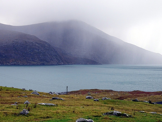
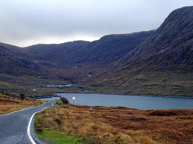
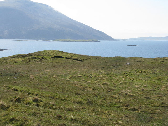
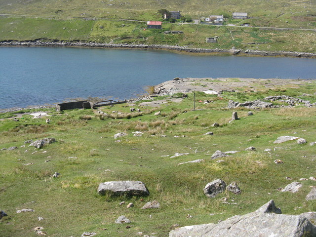
Mol an Arbhair, located in Inverness-shire, Scotland, is a picturesque beach renowned for its natural beauty and serene surroundings. Situated on the west coast of Scotland, this beach offers visitors a tranquil escape from the bustling city life and a chance to immerse themselves in the stunning Scottish landscape.
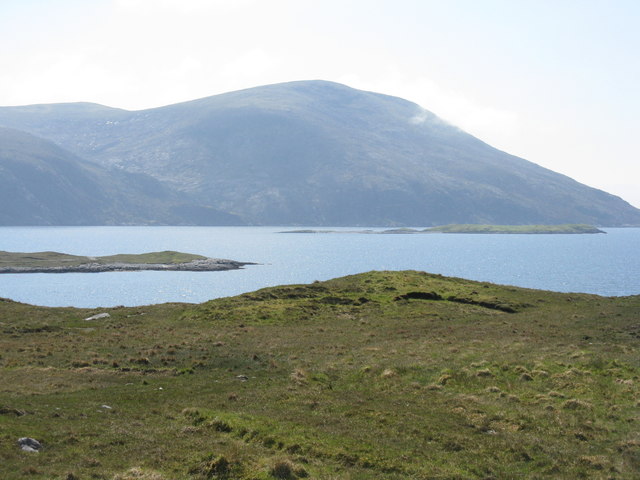
With its pristine golden sand and crystal-clear turquoise waters, Mol an Arbhair is a paradise for beach lovers and nature enthusiasts alike. The beach stretches for approximately one mile, providing ample space for visitors to relax, take leisurely walks, or indulge in various recreational activities.
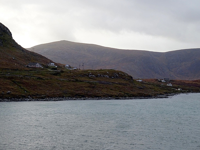
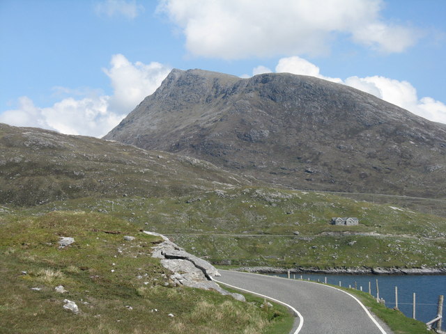
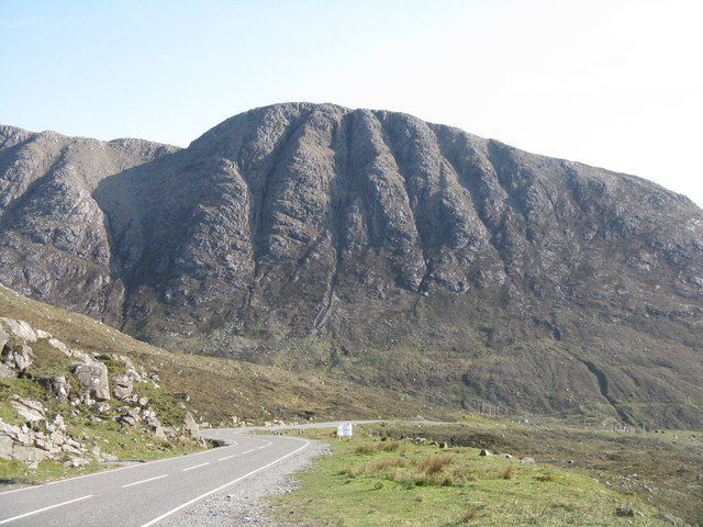
Mol an Arbhair boasts breathtaking views of the surrounding hills and mountains, creating a dramatic backdrop against the pristine coastline. The beach is surrounded by lush greenery, adding to its allure and offering a calming atmosphere for those seeking a peaceful retreat.
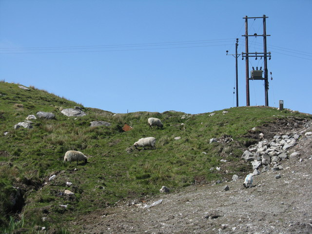
Nature lovers will appreciate the rich biodiversity of the area, which is home to a variety of wildlife and plant species. Birdwatchers can spot numerous species of seabirds, while marine enthusiasts may catch a glimpse of seals or dolphins swimming in the nearby waters.
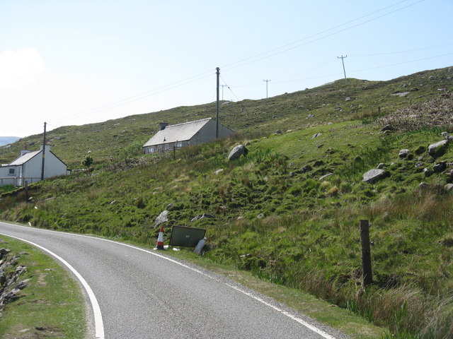
The beach is easily accessible, with ample parking facilities available nearby. Visitors can enjoy picnics on the soft sand, build sandcastles, or simply bask in the sun while listening to the soothing sounds of the waves crashing against the shore.
With its idyllic setting and natural charm, Mol an Arbhair offers a serene escape for those looking to connect with nature and unwind in the beauty of the Scottish coastline.
If you have any feedback on the listing, please let us know in the comments section below.
Mol an Arbhair Images
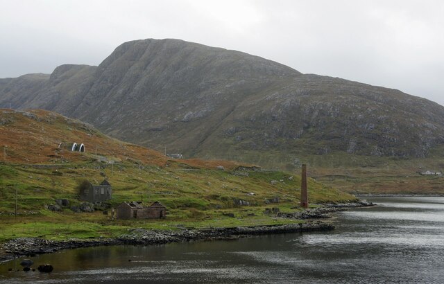
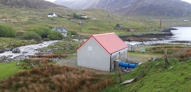
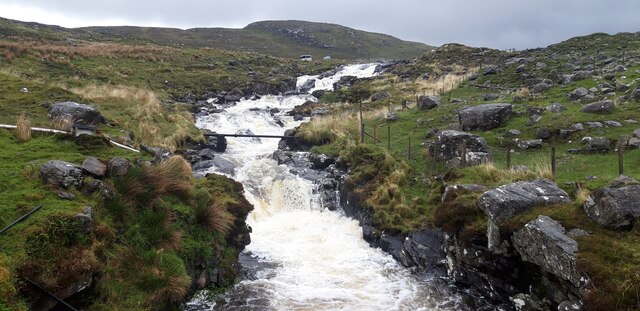
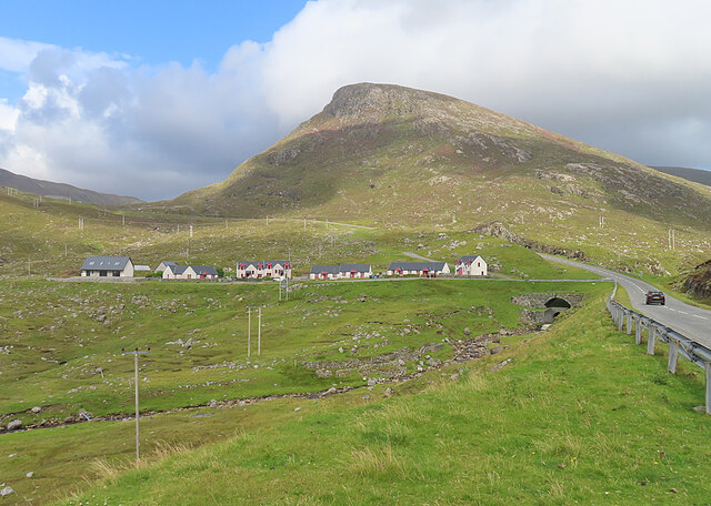
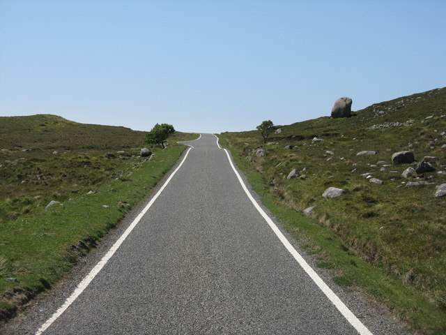
Images are sourced within 2km of 57.918002/-6.8590066 or Grid Reference NB1202. Thanks to Geograph Open Source API. All images are credited.

Mol an Arbhair is located at Grid Ref: NB1202 (Lat: 57.918002, Lng: -6.8590066)
Unitary Authority: Na h-Eileanan an Iar
Police Authority: Highlands and Islands
What 3 Words
///booms.forwarded.brittle. Near Tarbert, Na h-Eileanan Siar
Nearby Locations
Related Wikis

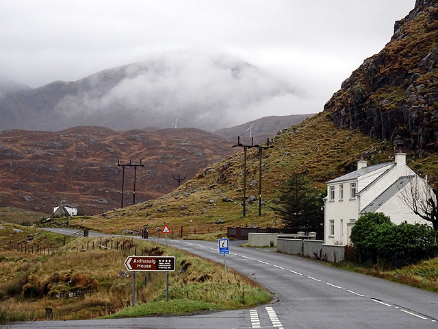
Ardhasaig
Ardhasaig (Scottish Gaelic: Àird Àsaig) is a settlement on the western coast of north Harris, in the Outer Hebrides, Scotland. Ardhasaig is also within...

Bun Abhainn Eadarra
Bun Abhainn Eadarra or Bunavoneadar is a hamlet adjacent to the Loch Bun Abhainn Eadarra, on the south shore of North Harris, in the Outer Hebrides, Scotland...

Harris, Outer Hebrides
Harris (Scottish Gaelic: Na Hearadh, pronounced [nə ˈhɛɾəɣ] ) is the southern and more mountainous part of Lewis and Harris, the largest island in the...

Tarbert, Harris
Tarbert (Scottish Gaelic: An Tairbeart [ən̪ˠ ˈt̪ɛrʲɛbərˠʃt̪]) is the main community on Harris in the Western Isles of Scotland. The name means "isthmus...
Nearby Amenities
Located within 500m of 57.918002,-6.8590066Have you been to Mol an Arbhair?
Leave your review of Mol an Arbhair below (or comments, questions and feedback).