Knock Ruchgy
Hill, Mountain in Inverness-shire
Scotland
Knock Ruchgy

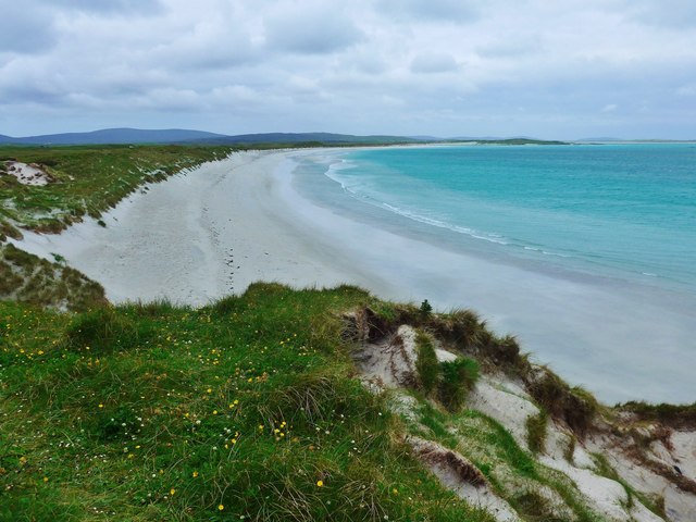
Knock Ruchgy is a prominent hill located in the county of Inverness-shire, Scotland. Situated in the Scottish Highlands, it is part of the wider range known as the Monadhliath Mountains. With an elevation of approximately 808 meters (2,651 feet), Knock Ruchgy offers breathtaking panoramic views of the surrounding landscape.
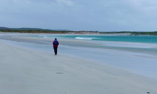
The hill is characterized by its rugged and rocky terrain, making it a popular destination for hikers, mountaineers, and nature enthusiasts. Its ascent can be challenging due to the steep slopes and uneven ground, which require a moderate level of fitness and experience. However, the reward is well worth it, as the summit provides stunning vistas of the surrounding peaks, valleys, and lochs.
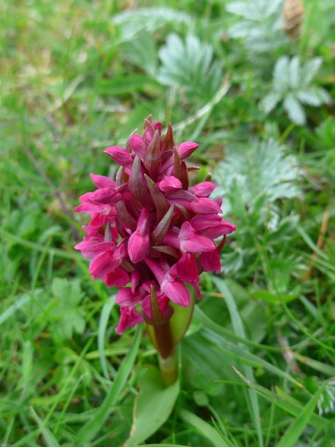
The flora and fauna found on Knock Ruchgy are typical of the Scottish Highlands. Heathers, mosses, and grasses adorn the lower slopes, while hardier plants such as dwarf willows and junipers can be found at higher altitudes. The hill is also home to various bird species, including golden eagles, peregrine falcons, and ptarmigans.
Knock Ruchgy is easily accessible from nearby towns such as Inverness and Aviemore, with several well-marked trails leading to its summit. Visitors are advised to come prepared with appropriate clothing, footwear, and provisions, as the weather in the area can be unpredictable and conditions can change rapidly.
Overall, Knock Ruchgy offers a challenging yet rewarding experience for outdoor enthusiasts, providing a glimpse into the untouched beauty of the Scottish Highlands.
If you have any feedback on the listing, please let us know in the comments section below.
Knock Ruchgy Images
Images are sourced within 2km of 57.654523/-7.2425156 or Grid Reference NF8774. Thanks to Geograph Open Source API. All images are credited.

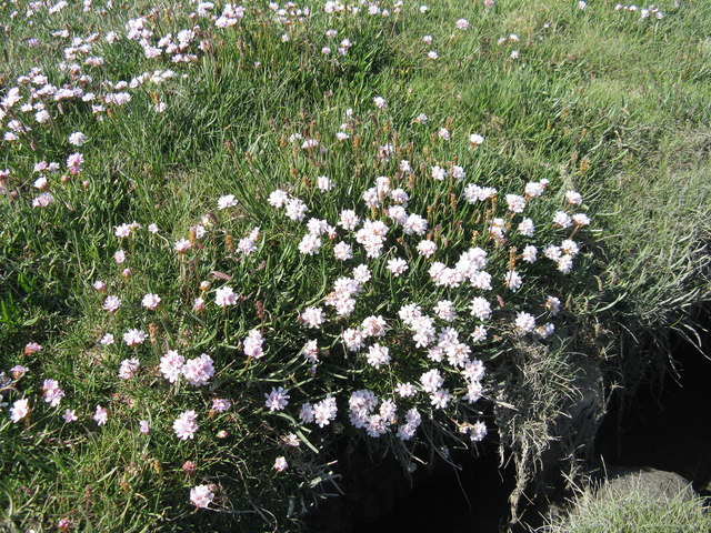
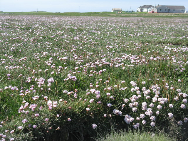
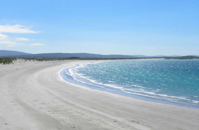
![Salt marsh at Trumaisgearraidh With a good flowering of Thrift [Armeria maritima].](https://s2.geograph.org.uk/geophotos/04/98/76/4987682_f3c46f91.jpg)

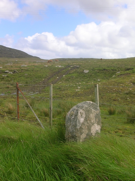
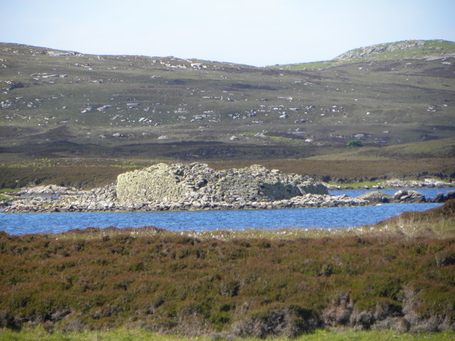
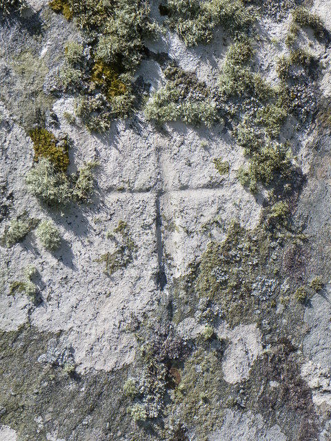
![Clach an t-Sagairt [with oystercatcher] The name translates as the 'Priest's Stone' and the incised cross [see detailed photo] may be early medieval.](https://s0.geograph.org.uk/geophotos/06/20/54/6205476_aeb4c05e.jpg)

Knock Ruchgy is located at Grid Ref: NF8774 (Lat: 57.654523, Lng: -7.2425156)
Unitary Authority: Na h-Eileanan an Iar
Police Authority: Highlands and Islands
What 3 Words
///muted.puncture.intensely. Near Lochmaddy, Na h-Eileanan Siar
Nearby Locations
Related Wikis

North Uist Machair and Islands
The North Uist Machair and Islands is a protected wetland area in the Outer Hebrides of Scotland. A total of 4,705 hectares comprises seven separate areas...

Oronsay, Outer Hebrides
Oronsay (Gaelic Orasaigh) is a tidal island off North Uist in the Outer Hebrides. Lying to the north of Vallaquie Strand, the island has been uninhabited...

Na Fir Bhrèige
Na Fir Bhrèige (pronounced [nə fiɾʲ ˈvɾʲeːkʲə]; can be translated from Gaelic into English as "The False Men") is a set of three standing stones on the...

Lingeigh, North Uist
Lingeigh is an uninhabited island off North Uist, south east of Boreray. It is separated from North Uist by Traigh Lingeigh. == Footnotes ==
Nearby Amenities
Located within 500m of 57.654523,-7.2425156Have you been to Knock Ruchgy?
Leave your review of Knock Ruchgy below (or comments, questions and feedback).