Òban nan Sruthan
Lake, Pool, Pond, Freshwater Marsh in Inverness-shire
Scotland
Òban nan Sruthan

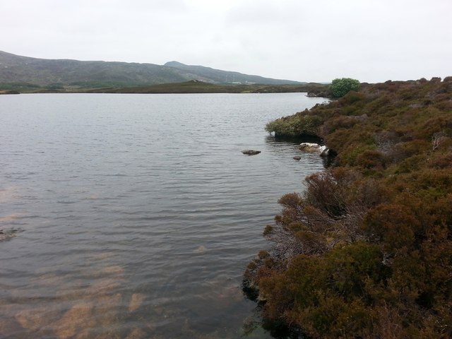
Òban nan Sruthan, located in Inverness-shire, is a remarkable freshwater ecosystem consisting of a lake, pool, pond, and freshwater marsh. Situated amidst the stunning Scottish Highlands, it covers a vast area and offers breathtaking natural beauty.
The main feature of Òban nan Sruthan is its expansive lake, which stretches across several kilometers. The lake is fed by numerous streams and rivers, providing a constant flow of freshwater. Its crystal-clear waters attract a diverse range of wildlife, including various species of fish, water birds, and amphibians.
Adjacent to the lake, there is a smaller pool and pond, which act as important habitats for aquatic plants and invertebrates. These smaller bodies of water provide a breeding ground for many species and contribute to the overall biodiversity of the area. The pond, in particular, is characterized by its calm and tranquil atmosphere, making it a popular spot for visitors to relax and enjoy the surroundings.
The freshwater marsh is another significant component of Òban nan Sruthan. This wetland area is characterized by its waterlogged soil and abundant vegetation, including reeds, grasses, and sedges. The marsh serves as a haven for a wide range of plant and animal species, including marsh birds, insects, and small mammals.
Overall, Òban nan Sruthan is a captivating ecosystem that showcases the rich biodiversity of the Scottish Highlands. Its lake, pool, pond, and freshwater marsh provide important habitats for numerous species and offer visitors a chance to immerse themselves in the serene beauty of nature.
If you have any feedback on the listing, please let us know in the comments section below.
Òban nan Sruthan Images
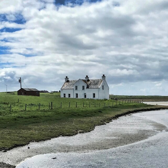
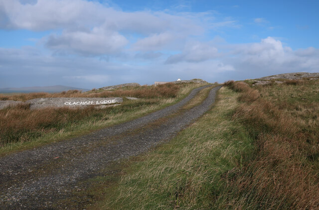
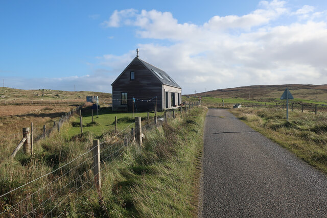
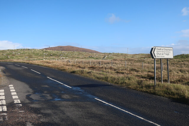
Images are sourced within 2km of 57.654545/-7.2350489 or Grid Reference NF8774. Thanks to Geograph Open Source API. All images are credited.
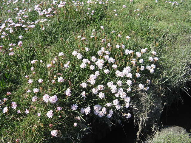
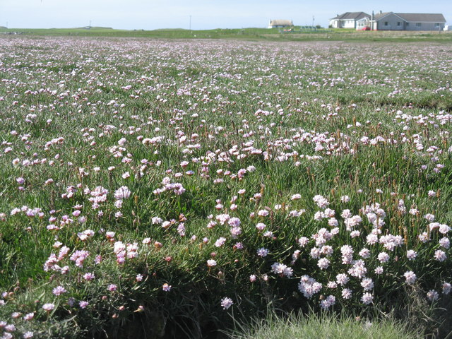
![Salt marsh at Trumaisgearraidh With a good flowering of Thrift [Armeria maritima].](https://s2.geograph.org.uk/geophotos/04/98/76/4987682_f3c46f91.jpg)

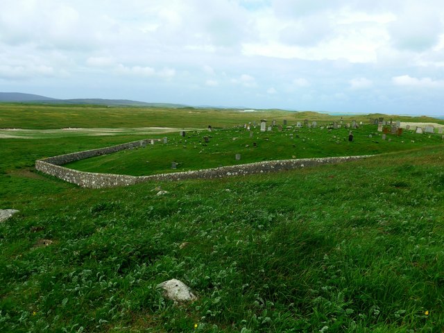
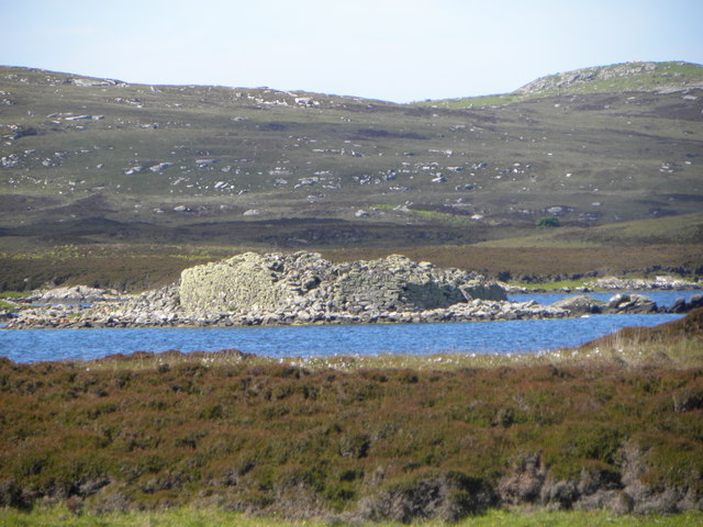
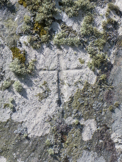
![Clach an t-Sagairt [with oystercatcher] The name translates as the 'Priest's Stone' and the incised cross [see detailed photo] may be early medieval.](https://s0.geograph.org.uk/geophotos/06/20/54/6205476_aeb4c05e.jpg)


Òban nan Sruthan is located at Grid Ref: NF8774 (Lat: 57.654545, Lng: -7.2350489)
Unitary Authority: Na h-Eileanan an Iar
Police Authority: Highlands and Islands
What 3 Words
///ecologist.action.times. Near Lochmaddy, Na h-Eileanan Siar
Nearby Locations
Related Wikis

North Uist Machair and Islands
The North Uist Machair and Islands is a protected wetland area in the Outer Hebrides of Scotland. A total of 4,705 hectares comprises seven separate areas...

Na Fir Bhrèige
Na Fir Bhrèige (pronounced [nə fiɾʲ ˈvɾʲeːkʲə]; can be translated from Gaelic into English as "The False Men") is a set of three standing stones on the...

Dun an Sticir
Dun an Sticir (Scottish Gaelic: Dùn an Sticir [ˈt̪un əɲ ˈʃtʲiçkʲɪɾʲ]) is an Iron Age broch situated approximately 9.5 kilometers north of Lochmaddy in...

Oronsay, Outer Hebrides
Oronsay (Gaelic Orasaigh) is a tidal island off North Uist in the Outer Hebrides. Lying to the north of Vallaquie Strand, the island has been uninhabited...
Nearby Amenities
Located within 500m of 57.654545,-7.2350489Have you been to Òban nan Sruthan?
Leave your review of Òban nan Sruthan below (or comments, questions and feedback).