The Laws
Downs, Moorland in Suffolk East Suffolk
England
The Laws
The Laws, Suffolk (Downs, Moorland) is a region located in the county of Suffolk, England. It is characterized by its diverse landscape, which consists of both downs and moorland areas. The downs refer to the rolling hills and elevated terrains, while the moorland signifies the open, uncultivated expanses covered in heather and grasses.
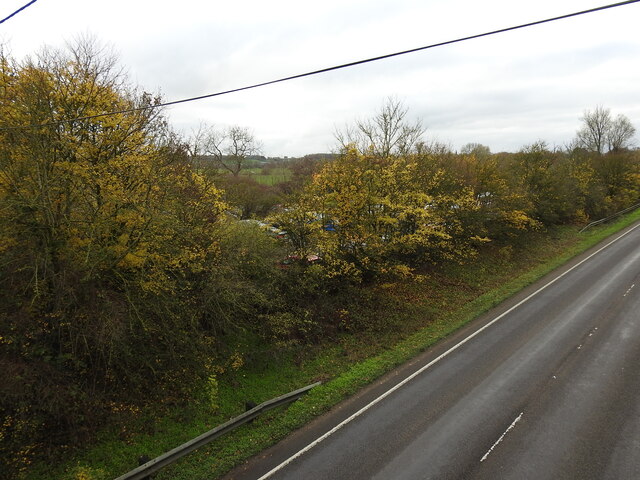
Covering a significant portion of the county, The Laws offers an array of natural attractions and provides a haven for wildlife. The downs provide magnificent vistas, with sweeping views of the surrounding countryside. They are also home to a variety of plant species, including wildflowers, herbs, and grasses. The area is a popular destination for hikers, nature enthusiasts, and photographers.
In contrast, the moorland areas of The Laws offer a different kind of beauty. With their rugged terrain and undulating landscapes, they create a sense of wildness and isolation. Visitors can explore the vast stretches of heather, which bloom with vibrant purple hues during the summer months. The moorland also supports a range of wildlife, such as birds, small mammals, and reptiles.
The Laws, Suffolk (Downs, Moorland) is protected by various conservation efforts to preserve its natural beauty and biodiversity. It is a designated Area of Outstanding Natural Beauty (AONB), ensuring its protection and management. The region offers a unique opportunity for visitors to immerse themselves in the unspoiled natural surroundings, appreciate the tranquility, and experience the rich diversity of flora and fauna.
If you have any feedback on the listing, please let us know in the comments section below.
The Laws Images
Images are sourced within 2km of 52.462864/1.4130782 or Grid Reference TM3190. Thanks to Geograph Open Source API. All images are credited.

The Laws is located at Grid Ref: TM3190 (Lat: 52.462864, Lng: 1.4130782)
Administrative County: Suffolk
District: East Suffolk
Police Authority: Suffolk
What 3 Words
///fuse.retrain.animated. Near Bungay, Suffolk
Nearby Locations
Related Wikis

Bath Hills
Bath Hills is a 12.2-hectare (30-acre) Local Nature Reserve west of Ditchingham in Norfolk. It is owned by South Norfolk District Council and managed...

Bungay railway station
Bungay railway station was located on the now disused Waveney Valley Line which ran between Tivetshall and Beccles. The station was closed in 1953 and...

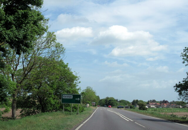
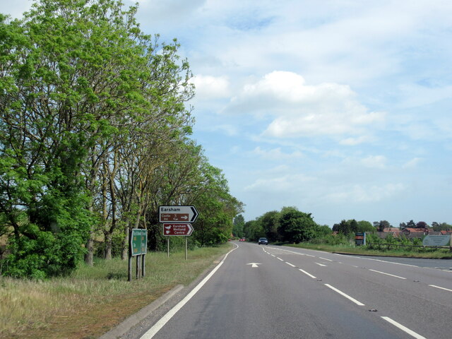
Earsham
Earsham is a village and civil parish in the English county of Norfolk. Earsham is located 1.7 kilometres (1.1 mi) west of its postal town of Bungay and...

Earsham railway station
Earsham was a railway station in Earsham, Norfolk, England. It was located on the Waveney Valley Line which connected Beccles with the Great Eastern Main...

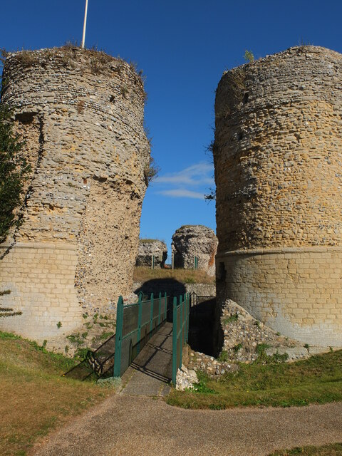
Bungay Castle
Bungay Castle is a Grade I listed building in the town of Bungay, Suffolk. == History == The site was originally a Norman castle built by Roger Bigod in...

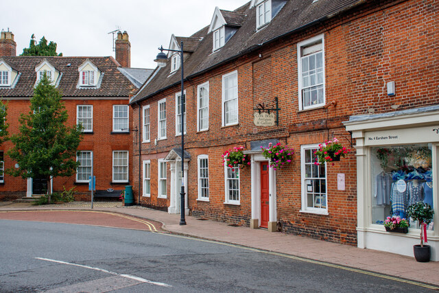
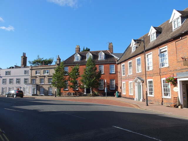
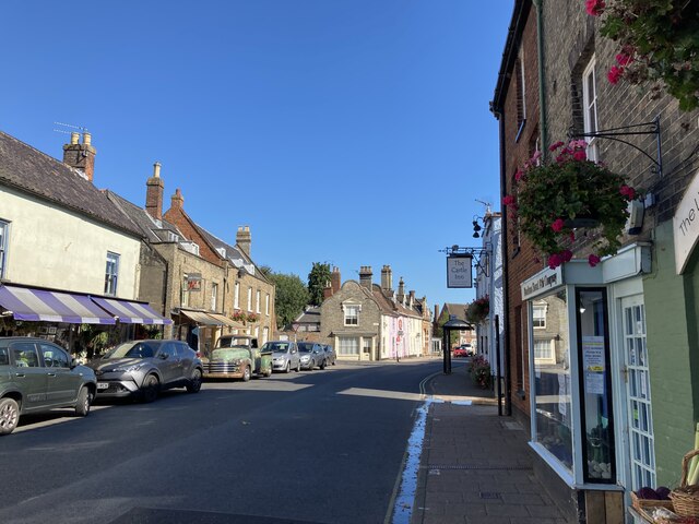
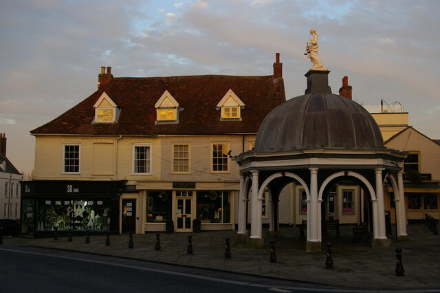
Bungay
Bungay () is a market town, civil parish and electoral ward in the English county of Suffolk. It lies in the Waveney Valley, 5.5 miles (9 km) west of Beccles...

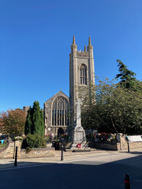
St Mary's Church, Bungay
St Mary's Church is a redundant Anglican church in the town of Bungay, Suffolk, England. The church and the ruins of the adjacent priory are recorded...

Chicken roundabout
The chicken roundabout is a roundabout located on the A143 road, on the Bungay and Ditchingham bypass in Suffolk, United Kingdom. The roundabout was famous...
Related Videos

Are You Walking With The Lord Most High? Worship On The Streets.
All glory to God! If you want to contact us or to get in touch with a person who is in this video please use the contact details ...


Bungay Walkabout
Tour of Bungay Suffolk.

Micro VanLife S05E16 Bungay, Suffolk : A Quaint Old Town on the Waveney River
There is a charm to old towns that have changed little over the centuries, where waves of agriculture and industry have swept over ...
Nearby Amenities
Located within 500m of 52.462864,1.4130782Have you been to The Laws?
Leave your review of The Laws below (or comments, questions and feedback).