The Rough
Downs, Moorland in Kent Thanet
England
The Rough
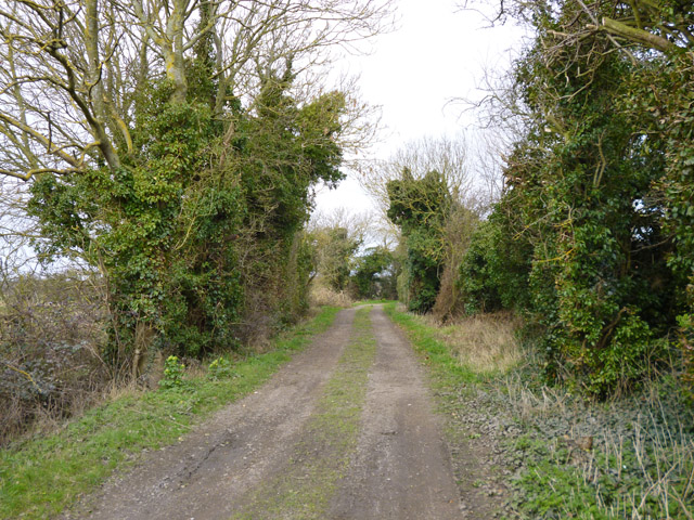
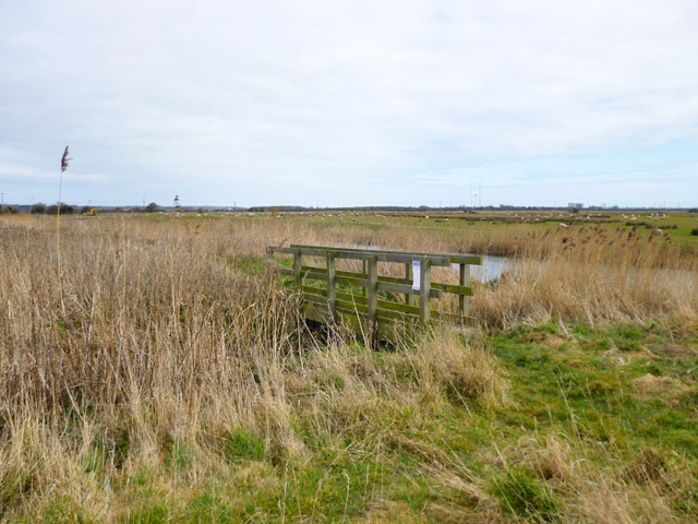
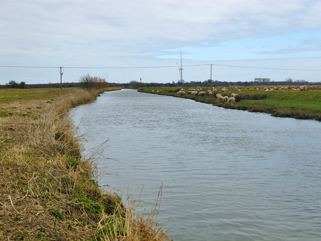
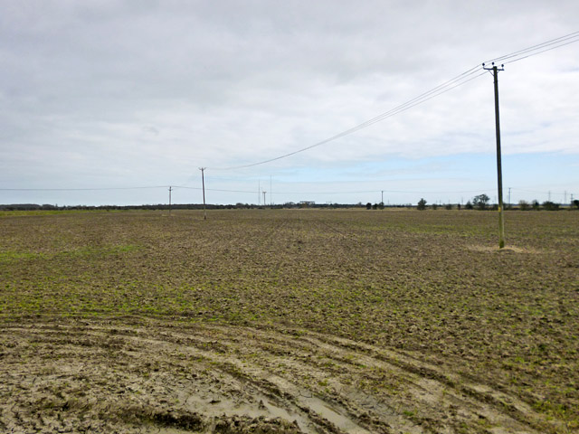
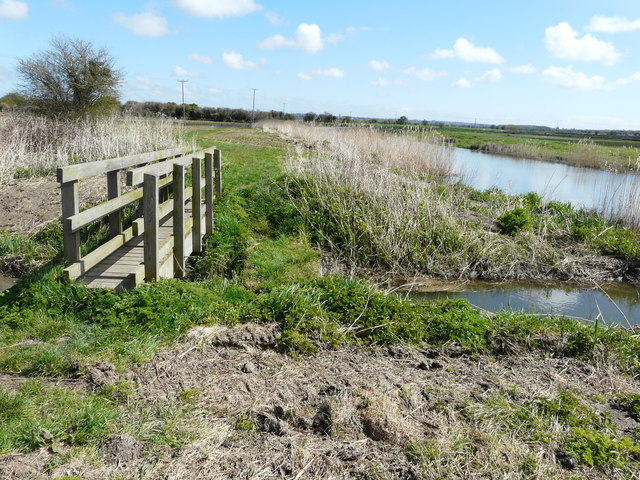
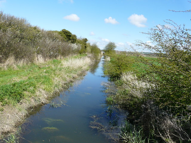
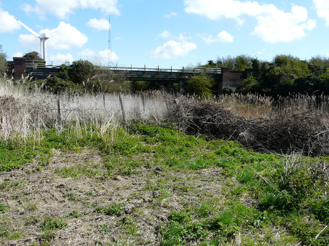
The Rough is a picturesque area located in Kent, England. It is known for its stunning natural beauty, characterized by rolling hills, vast moorland, and breathtaking views. The Rough is situated within the Kent Downs Area of Outstanding Natural Beauty, showcasing the region's diverse landscapes and unique flora and fauna.
Covering an extensive area, The Rough offers a wide range of outdoor activities and recreational opportunities. Hiking enthusiasts can explore the numerous trails that wind through the moorland, providing a chance to immerse oneself in the tranquility of nature. The area is also popular among birdwatchers, as it is home to a variety of bird species, including the rare and elusive nightjar.
For those seeking a more leisurely experience, The Rough offers plenty of spots for picnicking or simply enjoying a peaceful moment surrounded by nature. The rolling hills provide an idyllic backdrop for a relaxing day out, where visitors can revel in the beauty of the landscape.
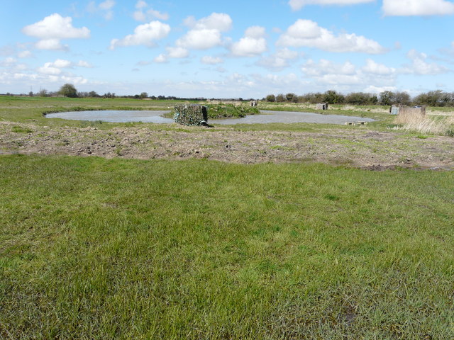
In addition to its natural charm, The Rough is also rich in history and heritage. The area is dotted with ancient archaeological sites, including burial mounds and prehistoric settlements, offering a glimpse into the region's past.
Overall, The Rough in Kent is a captivating destination that showcases the raw beauty of the countryside. Whether it's for outdoor activities, birdwatching, or simply enjoying the serenity of nature, this area is a must-visit for nature lovers and history enthusiasts alike.
If you have any feedback on the listing, please let us know in the comments section below.
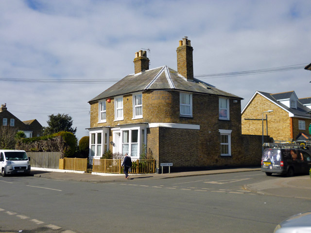
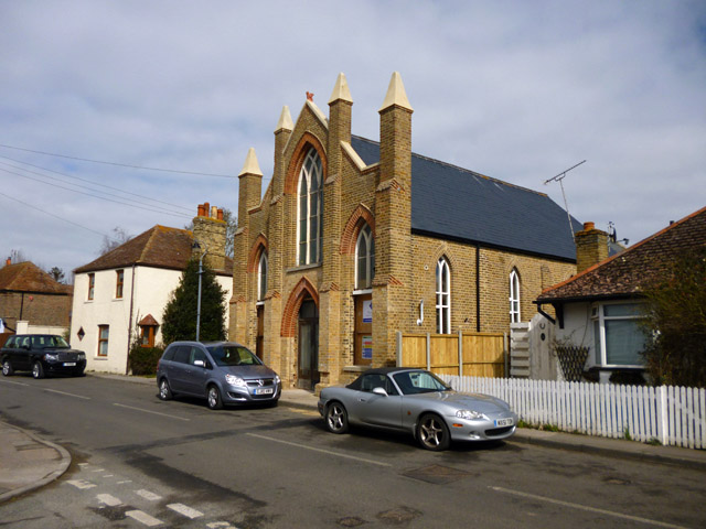
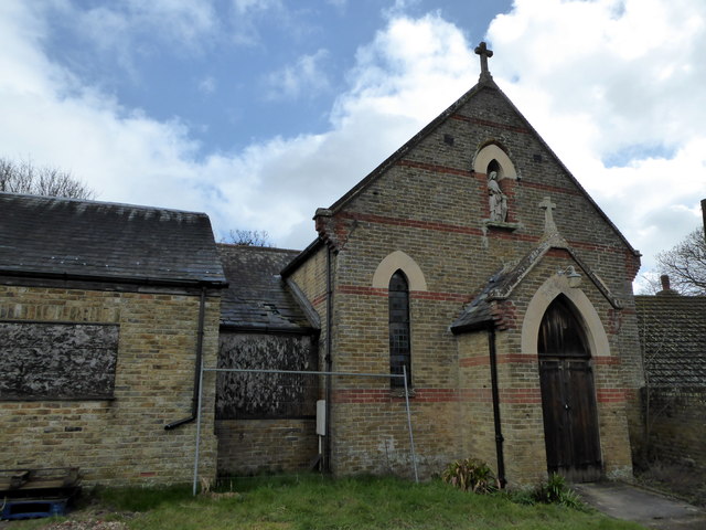
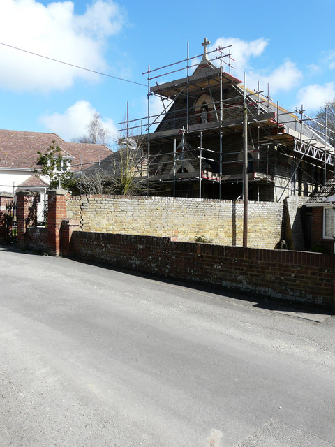
The Rough Images
Images are sourced within 2km of 51.327639/1.3271991 or Grid Reference TR3163. Thanks to Geograph Open Source API. All images are credited.
The Rough is located at Grid Ref: TR3163 (Lat: 51.327639, Lng: 1.3271991)
Administrative County: Kent
District: Thanet
Police Authority: Kent
What 3 Words
///interval.cornfield.torch. Near Birchington-on-Sea, Kent
Nearby Locations
Related Wikis

Minster railway station
Minster railway station serves the village of Minster in Kent and surrounding villages. It is next to a junction between Canterbury West, Ramsgate and...
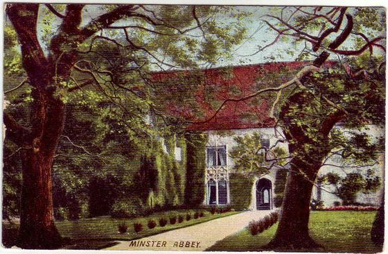
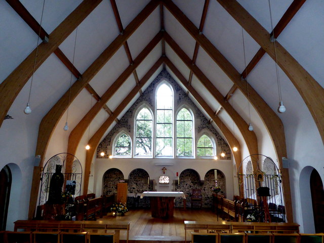
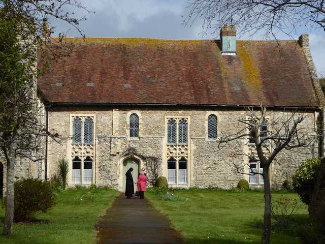
Minster in Thanet Priory
Minster Abbey is the name of two abbeys in Minster-in-Thanet, Kent, England. The first was a 7th-century foundation which lasted until the Dissolution...
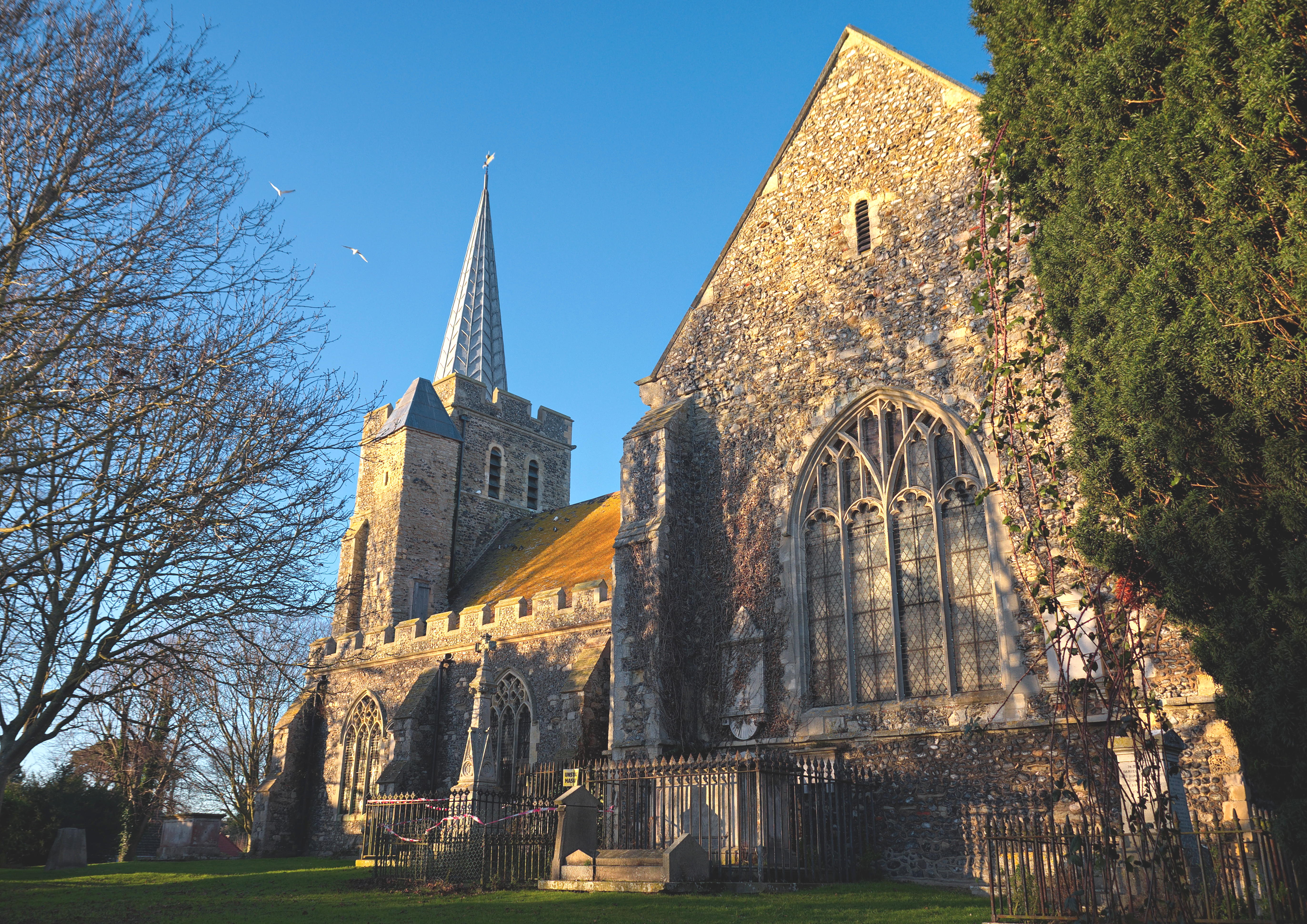
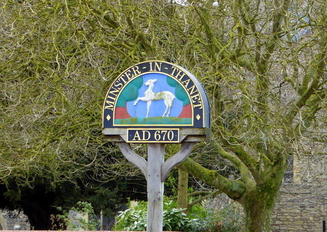
Minster-in-Thanet
Minster, also known as Minster-in-Thanet, is a village and civil parish in the Thanet District of Kent, England. It is the site of Minster in Thanet Priory...

Sevenscore
Sevenscore is a hamlet on the B2048 secondary road about one mile (1.6 km) east of Minster-in-Thanet in Kent, England. It is in the civil parish of Minster...
Nearby Amenities
Located within 500m of 51.327639,1.3271991Have you been to The Rough?
Leave your review of The Rough below (or comments, questions and feedback).