Minster Marshes
Coastal Marsh, Saltings in Kent Thanet
England
Minster Marshes
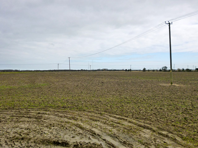
Minster Marshes is a coastal marshland located in the county of Kent, England. It is part of the larger Kent Marshes, which stretch along the coast of the county. The marshes are situated near the village of Minster, which lies on the Isle of Sheppey.
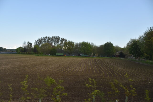
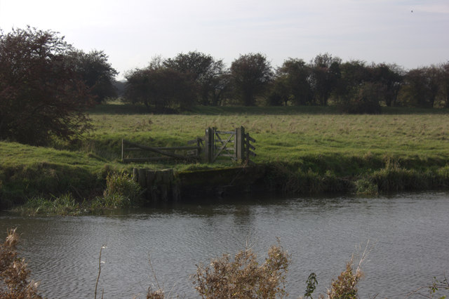
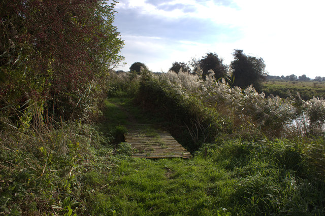
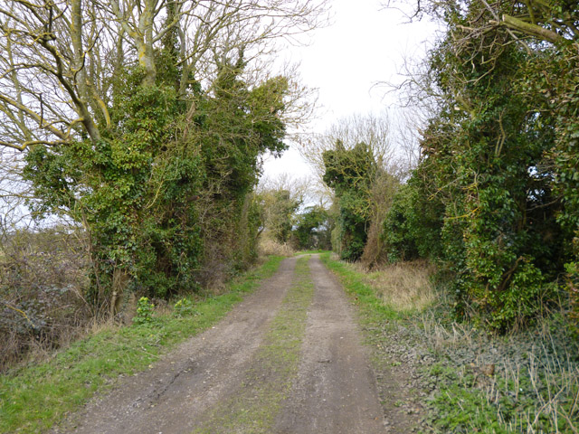
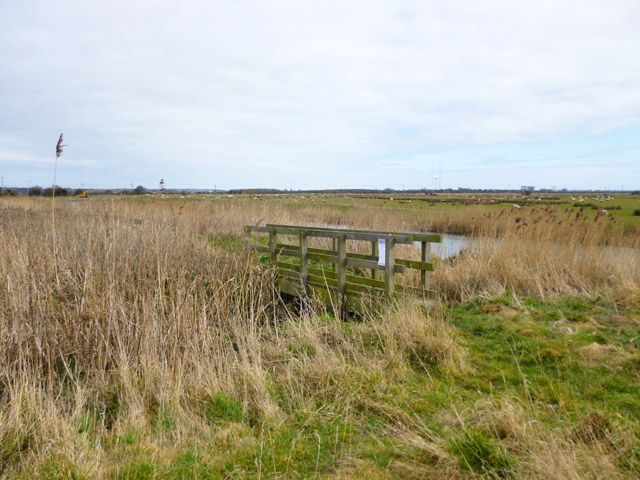
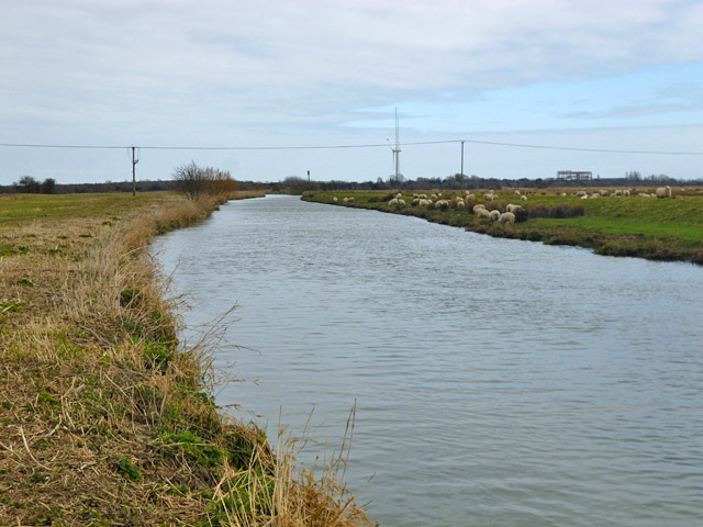
Covering an area of approximately 1,800 acres, Minster Marshes is characterized by its diverse ecosystem, consisting of marshland and saltings. The marshland is characterized by its low-lying, waterlogged terrain, which is formed by tidal waters. This creates a unique habitat for a variety of plant and animal species.
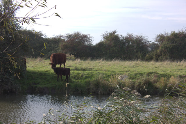
The marshes are home to a wide range of bird species, making it a popular destination for birdwatchers and nature enthusiasts. Visitors can often spot wading birds such as redshanks, curlews, and lapwings, as well as a variety of ducks and geese. In addition to birds, the marshes also support a rich diversity of plant life, including saltmarsh grasses, sea lavender, and sea purslane.
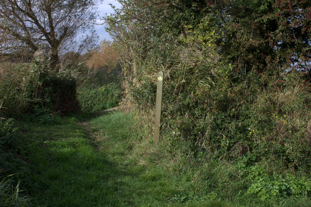
The area is managed by various conservation organizations, such as the Royal Society for the Protection of Birds (RSPB), in order to preserve its natural beauty and protect the wildlife that inhabits it. There are several walking trails and observation points throughout the marshes, allowing visitors to explore and enjoy the stunning scenery.
Minster Marshes also plays an important role in flood prevention, acting as a natural buffer zone during high tides and storm surges. This helps to protect the surrounding areas from potential flooding events.
Overall, Minster Marshes is a valuable and picturesque coastal marshland, offering a haven for wildlife and a tranquil retreat for visitors seeking to connect with nature.
If you have any feedback on the listing, please let us know in the comments section below.
Minster Marshes Images
Images are sourced within 2km of 51.322416/1.3147189 or Grid Reference TR3163. Thanks to Geograph Open Source API. All images are credited.
Minster Marshes is located at Grid Ref: TR3163 (Lat: 51.322416, Lng: 1.3147189)
Administrative County: Kent
District: Thanet
Police Authority: Kent
What 3 Words
///irritate.callers.creamed. Near Ash, Kent
Nearby Locations
Related Wikis

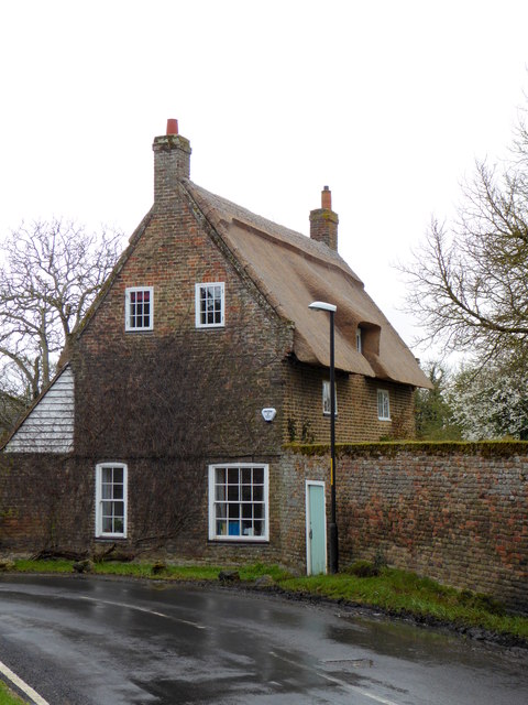
Minster railway station
Minster railway station serves the village of Minster in Kent and surrounding villages. It is next to a junction between Canterbury West, Ramsgate and...

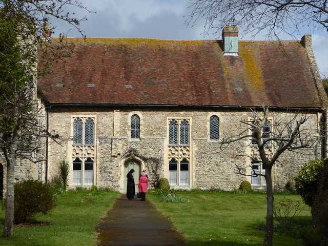
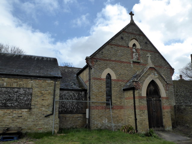
Minster in Thanet Priory
Minster Abbey is the name of two abbeys in Minster-in-Thanet, Kent, England. The first was a 7th-century foundation which lasted until the Dissolution...

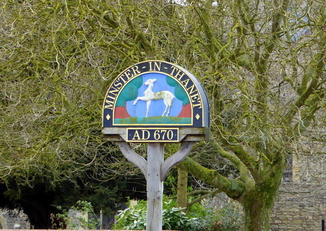
Minster-in-Thanet
Minster, also known as Minster-in-Thanet, is a village and civil parish in the Thanet District of Kent, England. It is the site of Minster in Thanet Priory...

Sevenscore
Sevenscore is a hamlet on the B2048 secondary road about one mile (1.6 km) east of Minster-in-Thanet in Kent, England. It is in the civil parish of Minster...

Richborough Energy Park
Richborough Energy Park is a site of non-traditional power generation, on the site of the former Richborough power station close to the mouth of the River...

Richborough Power Station
Richborough power station was a 336 MW power station close to the mouth of the River Stour near Sandwich, on the east coast of Kent. It was built on land...

Ebbsfleet, Thanet
Ebbsfleet is a hamlet near Ramsgate, Kent, at the head of Pegwell Bay. Historically it was a peninsula on the southern coast of the Isle of Thanet, marking...
Battle of Wippedesfleot
The Battle of Wippedesfleot was a battle in 466 between the Anglo-Saxons (or Jutes), led by Hengest, and the Britons. It is described in the Anglo-Saxon...
Nearby Amenities
Located within 500m of 51.322416,1.3147189Have you been to Minster Marshes?
Leave your review of Minster Marshes below (or comments, questions and feedback).