Outney Common, Bungay
Heritage Site in Norfolk South Norfolk
England
Outney Common, Bungay
Outney Common is a historically significant site located in Bungay, Norfolk, England. Covering an area of approximately 14 hectares, it holds the status of a Heritage Site due to its rich cultural and ecological value. The common is situated on the southern bank of the River Waveney and is surrounded by picturesque countryside.
The site features a diverse range of habitats, including wet woodland, open meadows, and wetland areas. These habitats support a variety of plant and animal species, making Outney Common an ecologically important area. The common is known for its abundance of wildflowers, including orchids and primroses, which bloom in the spring and attract a wide range of pollinators.
The history of Outney Common dates back several centuries. It was once part of a medieval common land system, where locals would bring their livestock to graze. Today, remnants of this historic land use can still be seen, with some areas of the common being used for grazing by local farmers.
The common is also home to several archaeological features, including the remains of a medieval fishpond and a 19th-century ice well. These features provide valuable insights into the past use and management of the site.
Outney Common is a popular destination for nature enthusiasts, walkers, and picnickers. It offers several walking trails that allow visitors to explore the diverse habitats and enjoy the tranquil surroundings. The common is managed by a local conservation group in collaboration with the local council to ensure the preservation of its natural and cultural heritage.
If you have any feedback on the listing, please let us know in the comments section below.
Outney Common, Bungay Images
Images are sourced within 2km of 52.459/1.413 or Grid Reference TM3190. Thanks to Geograph Open Source API. All images are credited.

Outney Common, Bungay is located at Grid Ref: TM3190 (Lat: 52.459, Lng: 1.413)
Administrative County: Norfolk
District: South Norfolk
Police Authority: Norfolk
What 3 Words
///brilliant.openings.libraries. Near Bungay, Suffolk
Nearby Locations
Related Wikis

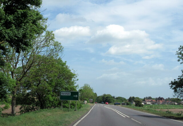
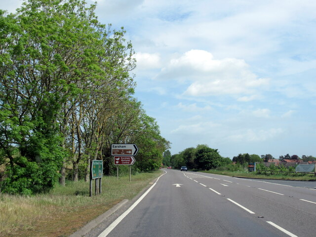
Earsham
Earsham is a village and civil parish in the English county of Norfolk. Earsham is located 1.7 kilometres (1.1 mi) west of its postal town of Bungay and...

Earsham railway station
Earsham was a railway station in Earsham, Norfolk, England. It was located on the Waveney Valley Line which connected Beccles with the Great Eastern Main...

Bungay railway station
Bungay railway station was located on the now disused Waveney Valley Line which ran between Tivetshall and Beccles. The station was closed in 1953 and...

Bath Hills
Bath Hills is a 12.2-hectare (30-acre) Local Nature Reserve west of Ditchingham in Norfolk. It is owned by South Norfolk District Council and managed...

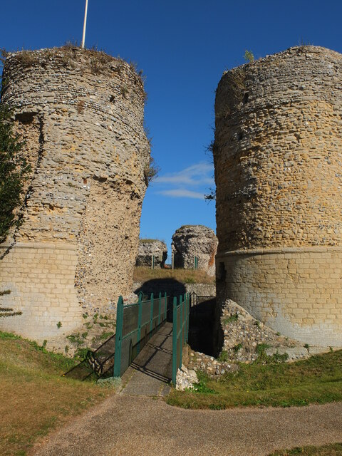
Bungay Castle
Bungay Castle is a Grade I listed building in the town of Bungay, Suffolk. == History == The site was originally a Norman castle built by Roger Bigod in...

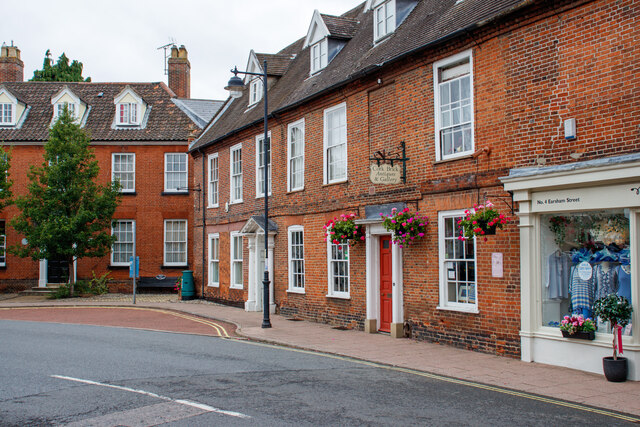
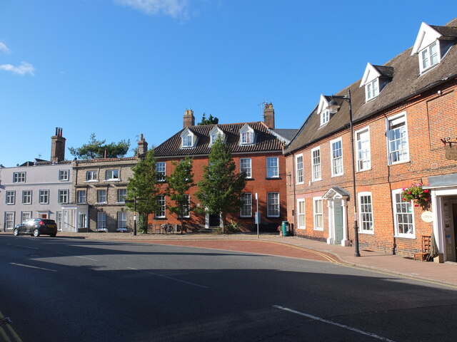
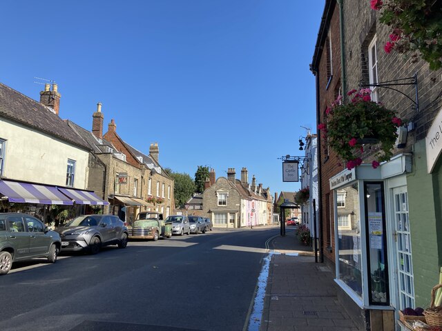
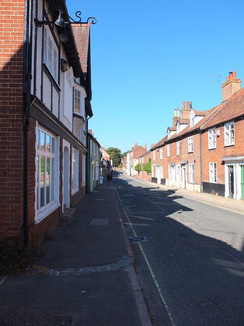
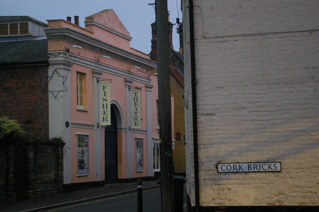
Bungay
Bungay () is a market town, civil parish and electoral ward in the English county of Suffolk. It lies in the Waveney Valley, 5.5 miles (9 km) west of Beccles...

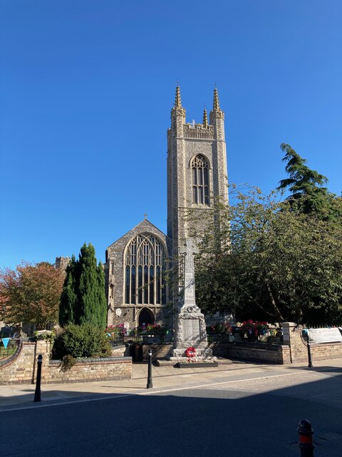
St Mary's Church, Bungay
St Mary's Church is a redundant Anglican church in the town of Bungay, Suffolk, England. The church and the ruins of the adjacent priory are recorded...

Bungay Priory
Bungay Priory was a Benedictine nunnery in the town of Bungay in the English county of Suffolk. It was founded c. 1160-1185 by the Countess Gundreda, wife...
Related Videos

Are You Walking With The Lord Most High? Worship On The Streets.
All glory to God! If you want to contact us or to get in touch with a person who is in this video please use the contact details ...


Bungay Walkabout
Tour of Bungay Suffolk.

Micro VanLife S05E16 Bungay, Suffolk : A Quaint Old Town on the Waveney River
There is a charm to old towns that have changed little over the centuries, where waves of agriculture and industry have swept over ...
Nearby Amenities
Located within 500m of 52.459,1.413Have you been to Outney Common, Bungay?
Leave your review of Outney Common, Bungay below (or comments, questions and feedback).