Big Wood

Wood, Forest in Norfolk South Norfolk

England

Big Wood

A143 east at turning for Earsham
A143 east at turning for Earsham Credit: Roy Hughes

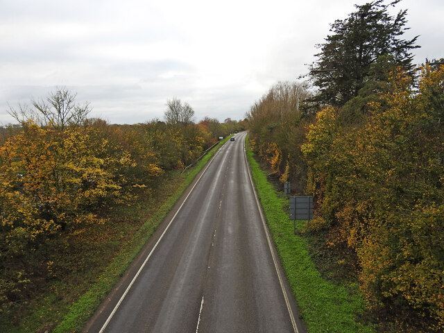
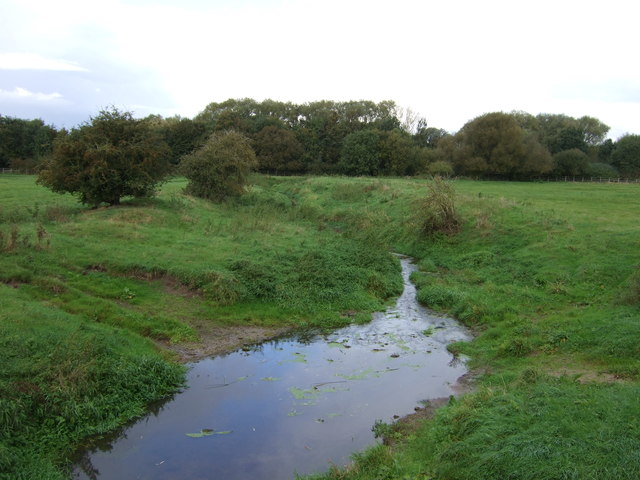
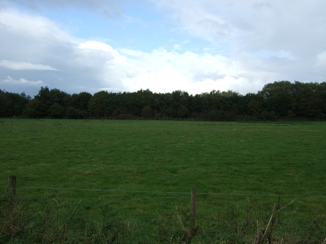
Big Wood, Norfolk is a picturesque forest located in the county of Norfolk, England. Spanning an area of approximately 50 acres, it is a popular destination for nature enthusiasts and hikers alike. The wood is situated near the village of Woodton, and is easily accessible by road.

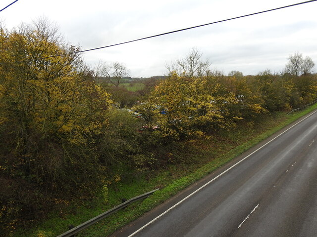
The wood is predominantly composed of broadleaf trees, with oak, beech, and ash being the most common species found within its boundaries. The dense canopy created by these trees provides a cool and shaded environment, perfect for escaping the summer heat. The forest floor is carpeted with an array of wildflowers, adding bursts of color to the scenery.

Big Wood is home to a diverse range of wildlife. Visitors may encounter various species of birds, such as woodpeckers, owls, and songbirds, as they explore the trails. Squirrels can be spotted scurrying through the branches, while rabbits and badgers are occasionally seen darting across the forest floor. The wood is also inhabited by a variety of insects and small mammals.

The wood offers an extensive network of well-maintained trails and footpaths, allowing visitors to explore its beauty at their own pace. These trails provide opportunities for walking, jogging, or cycling, and offer stunning views of the surrounding countryside. Additionally, there are several designated picnic areas scattered throughout the wood, providing a perfect spot to relax and enjoy a packed lunch.

Overall, Big Wood, Norfolk is a captivating natural oasis, offering a tranquil escape from the hustle and bustle of everyday life. With its diverse wildlife, scenic trails, and peaceful atmosphere, it is an ideal destination for nature lovers and outdoor enthusiasts.

If you have any feedback on the listing, please let us know in the comments section below.
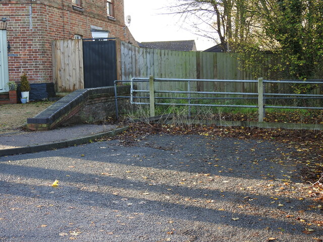
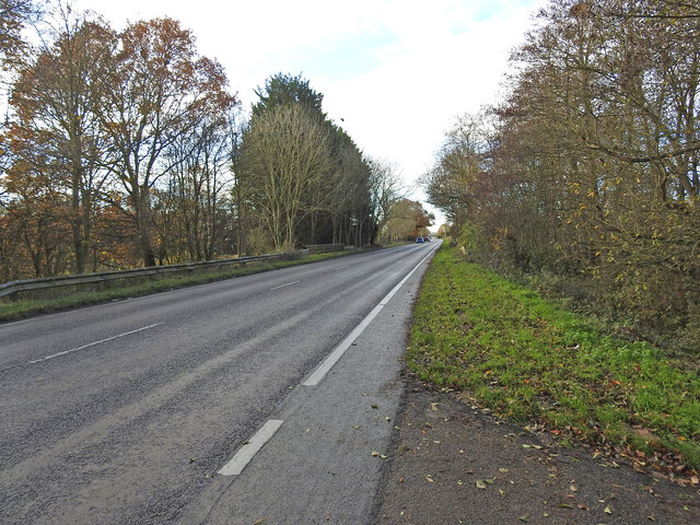
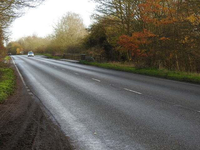
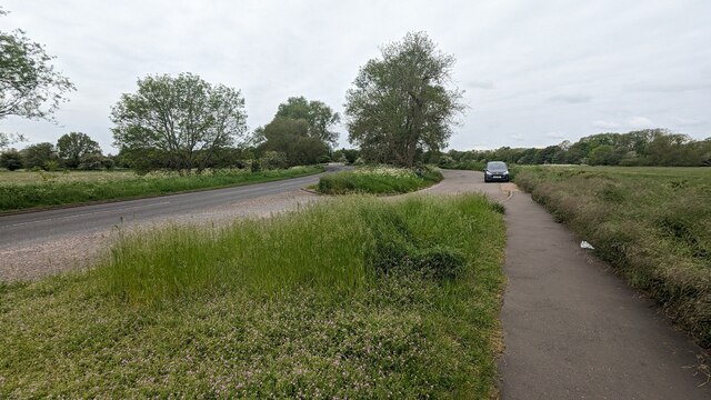
Big Wood Images

Images are sourced within 2km of 52.461824/1.4010855 or Grid Reference TM3190. Thanks to Geograph Open Source API. All images are credited.

A143 east at turning for Earsham
Earsham turning on A143 east
A143 east at Suffolk County border sign
Earsham Hall: Car parking area
The site of the former Bungay Railway Station Now a car park for the employees of Clays Printing Works.
The station was 12¾ miles from Tivetshall and necessitated the building of two bridges numbers 1190 and 1192, within a half mile of each other, over the River Waveney as well as minor bridges over drainage ditches.
The station itself had two platforms although only a single line each side of the station. The signal box was located between the station building and the Outney overbridge. The station underwent an improvement and expansion in 1933 when the previous wooden buildings were replaced with purpose-built brick buildings with all the usual amenities plus a W H Smith newspaper and book stall. The goods yard which was separated from the passenger station by the Outney overbridge consisted of a large crossing loop sidings and a goods shed containing a 30 cwt crane, cattle pens and loading dock. Coal bunkers and a water tank (still in use at The North Norfolk Railway).
The site of the former Bungay Railway Station
Now a car park for the employees of Clays Printing Works. The station was 12¾ miles from Tivetshall and necessitated the building of two bridges numbers 1190 and 1192, within a half mile of each other, over the River Waveney as well as minor bridges over drainage ditches. The station itself had two platforms although only a single line each side of the station. The signal box was located between the station building and the Outney overbridge. The station underwent an improvement and expansion in 1933 when the previous wooden buildings were replaced with purpose-built brick buildings with all the usual amenities plus a W H Smith newspaper and book stall. The goods yard which was separated from the passenger station by the Outney overbridge consisted of a large crossing loop sidings and a goods shed containing a 30 cwt crane, cattle pens and loading dock. Coal bunkers and a water tank (still in use at The North Norfolk Railway).
The former site of Bungay Waveney Valley Railway Station In the trees and in part of the car park behind was the site of Bungay Railway Station. The station was 12¾ miles from Tivetshall and necessitated the building of two bridges numbers 1190 and 1192, within a half mile of each other, over the River Waveney as well as minor bridges over drainage ditches.
The station itself had two platforms although only a single line each side of the station. The signal box was located between the station building and the Outney overbridge. The station underwent an improvement and expansion in 1933 when the previous wooden buildings were replaced with purpose-built brick buildings with all the usual amenities plus a W H Smith newspaper and book stall. The goods yard which was separated from the passenger station by the Outney overbridge consisted of a large crossing loop sidings and a goods shed containing a 30 cwt crane, cattle pens and loading dock. Coal bunkers and a water tank which is still in use at Weybourne Station on the North Norfolk Railway.  <a href="https://www.geograph.org.uk/photo/7353291">TG1141 : Water tank at Weybourne railway station</a>
The former site of Bungay Waveney Valley Railway Station
In the trees and in part of the car park behind was the site of Bungay Railway Station. The station was 12¾ miles from Tivetshall and necessitated the building of two bridges numbers 1190 and 1192, within a half mile of each other, over the River Waveney as well as minor bridges over drainage ditches. The station itself had two platforms although only a single line each side of the station. The signal box was located between the station building and the Outney overbridge. The station underwent an improvement and expansion in 1933 when the previous wooden buildings were replaced with purpose-built brick buildings with all the usual amenities plus a W H Smith newspaper and book stall. The goods yard which was separated from the passenger station by the Outney overbridge consisted of a large crossing loop sidings and a goods shed containing a 30 cwt crane, cattle pens and loading dock. Coal bunkers and a water tank which is still in use at Weybourne Station on the North Norfolk Railway. TG1141 : Water tank at Weybourne railway station
Former line of the railway converted to a road (looking south) This was the line of the former Waveney Valley Railway. Bungay Station was to the left of the picture in and behind the trees. Just this side of the car in the distance is the bridge crossing the River Waveney taking us back into Norfolk.  The Bridge was designated the number 1190 by the WVR.  Next stop, Earsham.
Former line of the railway converted to a road (looking south)
This was the line of the former Waveney Valley Railway. Bungay Station was to the left of the picture in and behind the trees. Just this side of the car in the distance is the bridge crossing the River Waveney taking us back into Norfolk. The Bridge was designated the number 1190 by the WVR. Next stop, Earsham.
The former Earsham railway station house The old platform is still extant and the sloping end can be seen just in front of the trees.
From the outset Earsham Station was a passenger station and had no goods facilities. The single 310 feet long platform and a signal box were its only other assets, being only a mile west of Bungay additional works were deemed unwarranted. The station bisected Hall Road, the village end of which was thereafter known as Station Road with a level crossing on the Bungay side.
The former Earsham railway station house
The old platform is still extant and the sloping end can be seen just in front of the trees. From the outset Earsham Station was a passenger station and had no goods facilities. The single 310 feet long platform and a signal box were its only other assets, being only a mile west of Bungay additional works were deemed unwarranted. The station bisected Hall Road, the village end of which was thereafter known as Station Road with a level crossing on the Bungay side.
Site of the former level crossing at Earsham This side of the Hall Road has been realigned and widened, but the position of the gates were to the left of the former station between it and the telegraph pole.
The other side of what was Hall Road before it was bisected by the railway was renamed Station Road.
Site of the former level crossing at Earsham
This side of the Hall Road has been realigned and widened, but the position of the gates were to the left of the former station between it and the telegraph pole. The other side of what was Hall Road before it was bisected by the railway was renamed Station Road.
Remains of the 310 feet long station platform at Earsham This picture was taken as if standing on the former level crossing of the railway  which ran this side of the platform with the signal box out from the right side of the picture
Remains of the 310 feet long station platform at Earsham
This picture was taken as if standing on the former level crossing of the railway which ran this side of the platform with the signal box out from the right side of the picture
Former location of railway bridge #1188 Obviously the bridge was rebuilt for the road but the location over the drainage channel is the same.
Former location of railway bridge #1188
Obviously the bridge was rebuilt for the road but the location over the drainage channel is the same.
Former location of railway bridge #1189 Obviously the bridge was rebuilt for the road but the location over the drainage channel is the same.
Former location of railway bridge #1189
Obviously the bridge was rebuilt for the road but the location over the drainage channel is the same.
Lay-by between Bungay and Earsham
Drain near Earsham View from Minns Bridge.
Drain near Earsham
View from Minns Bridge.
Grazing near Earsham View towards the A143.
Grazing near Earsham
View towards the A143.
Entering Earsham Heading south west on Earsham Dam.
Entering Earsham
Heading south west on Earsham Dam.
The Queens Head, Earsham
Sign for the Queens Head, Earsham
Show me another place!

Big Wood is located at Grid Ref: TM3190 (Lat: 52.461824, Lng: 1.4010855)

Administrative County: Norfolk

District: South Norfolk

Police Authority: Norfolk

What 3 Words

///phantom.engaging.streak. Near Bungay, Suffolk

Related Wikis

Earsham railway station

Earsham was a railway station in Earsham, Norfolk, England. It was located on the Waveney Valley Line which connected Beccles with the Great Eastern Main...
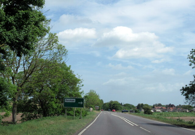
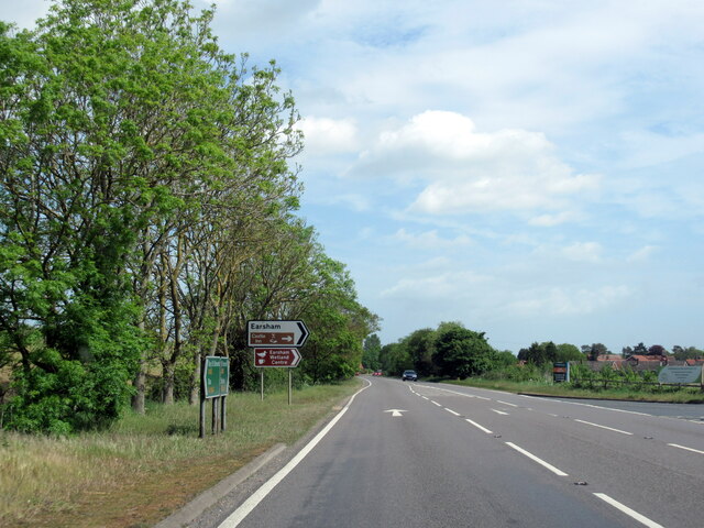
Earsham

Earsham is a village and civil parish in the English county of Norfolk. Earsham is located 1.7 kilometres (1.1 mi) west of its postal town of Bungay and...

Bath Hills

Bath Hills is a 12.2-hectare (30-acre) Local Nature Reserve west of Ditchingham in Norfolk. It is owned by South Norfolk District Council and managed...

Sexton Wood

Sexton Wood is a 40-hectare (99-acre) biological Site of Special Scientific Interest north-west of Ditchingham in Norfolk. It is a Nature Conservation...

Bungay railway station

Bungay railway station was located on the now disused Waveney Valley Line which ran between Tivetshall and Beccles. The station was closed in 1953 and...

Bungay Castle

Bungay Castle is a Grade I listed building in the town of Bungay, Suffolk. == History == The site was originally a Norman castle built by Roger Bigod in...

Bungay

Bungay () is a market town, civil parish and electoral ward in the English county of Suffolk. It lies in the Waveney Valley, 5.5 miles (9 km) west of Beccles...
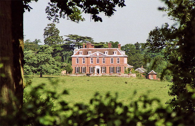
Ditchingham Hall

Ditchingham Hall is an English country house, near the village of Ditchingham in south Norfolk, England, which is set in about 2,000 acres (810 ha) of...

Related Videos

Micro VanLife S05E16 Bungay, Suffolk : A Quaint Old Town on the Waveney River

There is a charm to old towns that have changed little over the centuries, where waves of agriculture and industry have swept over ...

Bungay Walkabout

Tour of Bungay Suffolk.

Nearby Amenities

Located within 500m of 52.461824,1.4010855
Power: pole
Lat/Long: 52.4603209/1.4042732
Power: pole
Lat/Long: 52.4604966/1.4066228
Power: pole
Lat/Long: 52.4599172/1.4054896
Power: pole
Lat/Long: 52.4594514/1.4063975
Power: pole
Lat/Long: 52.4609746/1.4074074
Power: pole
Lat/Long: 52.4614935/1.408267
The data included in this document is from www.openstreetmap.org. The data is made available under ODbL.

Have you been to Big Wood?

Leave your review of Big Wood below (or comments, questions and feedback).