Sandpit Plantation
Wood, Forest in Suffolk East Suffolk
England
Sandpit Plantation
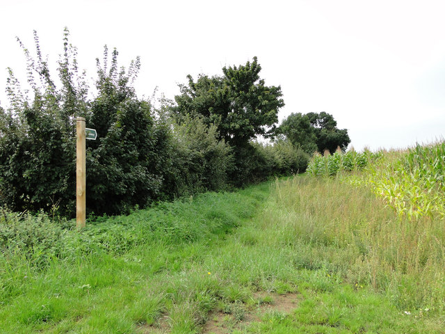
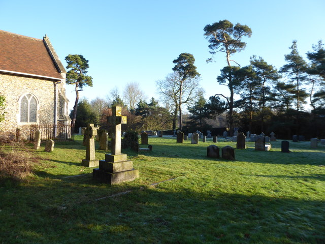
Sandpit Plantation is a picturesque woodland located in Suffolk, England. Situated near the town of Woodbridge, this enchanting forest covers an area of approximately 100 hectares. The plantation is known for its serene and tranquil atmosphere, making it a popular destination for nature enthusiasts and those seeking a peaceful retreat.
The woodland is characterized by its sandy soil, which has given rise to its name, Sandpit Plantation. It is predominantly composed of a mix of deciduous and coniferous trees, creating a diverse and vibrant ecosystem. Oak, birch, beech, and pine trees majestically tower over the forest floor, providing a dense canopy that filters sunlight and creates a cool and shaded environment.
The plantation is crisscrossed by a network of well-maintained footpaths, allowing visitors to explore and appreciate the beauty of the woodland. These paths lead through a variety of scenic landscapes, including open glades, dense thickets, and babbling brooks. Along the way, one can encounter a plethora of wildlife, such as squirrels, deer, and a variety of bird species.
Sandpit Plantation also offers recreational activities for visitors. There are designated areas for picnicking, making it an excellent spot for families and groups to enjoy a day out in nature. Additionally, the plantation is a haven for walking, jogging, and cycling enthusiasts, with trails of varying lengths and difficulties.
Overall, Sandpit Plantation in Suffolk is a natural gem that offers a serene and idyllic setting for anyone seeking respite from the hustle and bustle of everyday life. Its diverse landscape, well-maintained paths, and abundance of wildlife make it a must-visit destination for nature lovers and outdoor enthusiasts alike.
If you have any feedback on the listing, please let us know in the comments section below.
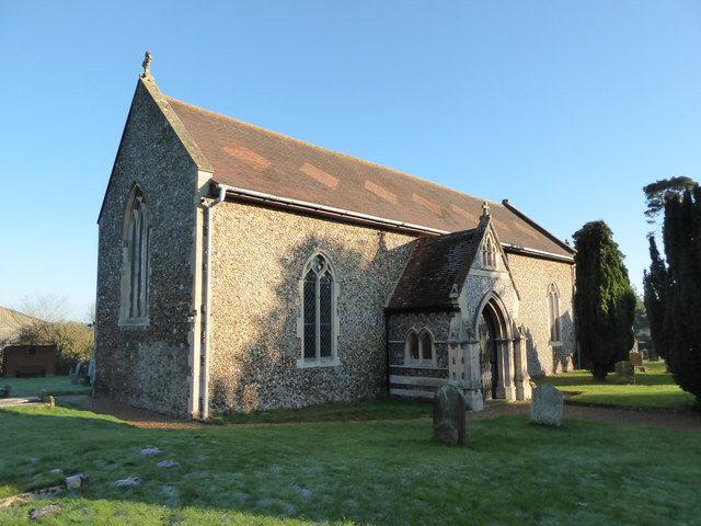
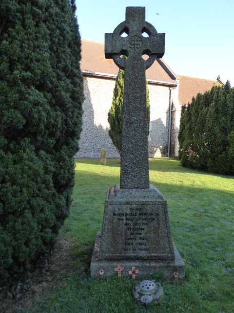
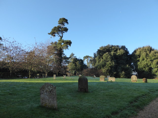
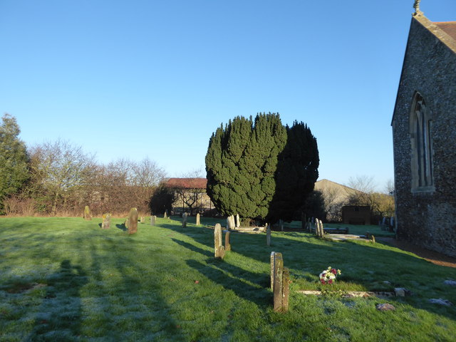
Sandpit Plantation Images
Images are sourced within 2km of 52.069094/1.3712379 or Grid Reference TM3146. Thanks to Geograph Open Source API. All images are credited.


Sandpit Plantation is located at Grid Ref: TM3146 (Lat: 52.069094, Lng: 1.3712379)
Administrative County: Suffolk
District: East Suffolk
Police Authority: Suffolk
What 3 Words
///collected.yelled.exam. Near Woodbridge, Suffolk
Nearby Locations
Related Wikis

Sutton, Suffolk
Sutton is a village and a civil parish on the B1083 road, in the East Suffolk district, in the county of Suffolk, England. Sutton has a pub, a mobile post...

Crag Pit, Sutton
Crag Pit, Sutton is a 0.7-hectare (1.7-acre) biological Site of Special Scientific Interest north of Shottisham in Suffolk. It is in the Suffolk Coast...
Sutton Heath
Sutton Heath is a civil parish on the former site of RAF Woodbridge, in the East Suffolk district, in the county of Suffolk, England. The parish was formed...

Sutton and Hollesley Heaths
Sutton and Hollesley Heaths is a 483.3-hectare (1,194-acre) biological Site of Special Scientific Interest south-east of Woodbridge in Suffolk. Most of...
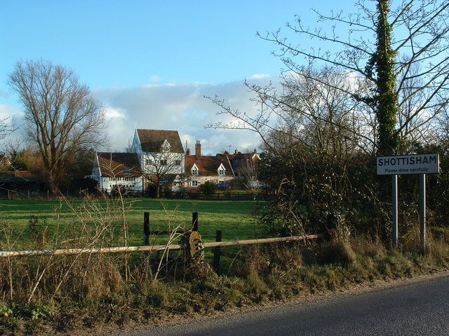
Shottisham
Shottisham is a village and civil parish in the East Suffolk district, in the county of Suffolk. It lies in the Wilford Hundred, about four and a half...
Wilford Hundred
Wilford is a hundred of Suffolk, consisting of 31,500 acres (127 km2).Wilford Hundred extends about 12 miles (19 km) southward from Debach to Woodbridge...

Rockhall Wood Pit, Sutton
Rockhall Wood Pit, Sutton is a 5.3-hectare (13-acre) geological Site of Special Scientific Interest west of Shottisham in Suffolk. It is a Geological Conservation...
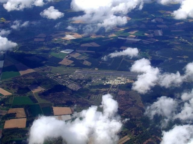
MoD Woodbridge
Ministry of Defence Woodbridge or MoD Woodbridge is a military installation located near the town of Woodbridge, in Suffolk, England. The site opened in...
Related Videos
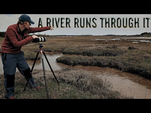
A River Runs Through It | Landscape Photography | Woodland Photography
There are several rivers which run through Suffolk - in this video I visit Butley river on a Spring morning with just the seagulls for ...

Wild camp on the River Deben, Suffolk 30/11/19 #wildcamp #youtubermeetup
So we met fellow youtubers Tom Outdoors & 1st Class Adventures for a Wild camp on the River Deben, on a site locally known as ...
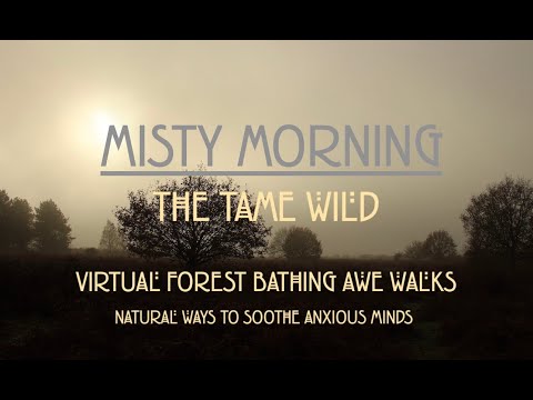
Calming Virtual Awe Walk on a Misty Autumn Morning in English Woodland.
Calming Virtual Awe Walk on a Misty Autumn Morning in English woodland... Five minute virtual nature walk to help reduce stress ...

Cruising the East Coast - Part 3 - Leaving Ramsholt - The Journey Home
S03E036 - In the last part of this mini-series, we hear a few more words from George Collins before making our way back to sea ...
Nearby Amenities
Located within 500m of 52.069094,1.3712379Have you been to Sandpit Plantation?
Leave your review of Sandpit Plantation below (or comments, questions and feedback).