Sewer Plantation
Wood, Forest in Suffolk East Suffolk
England
Sewer Plantation

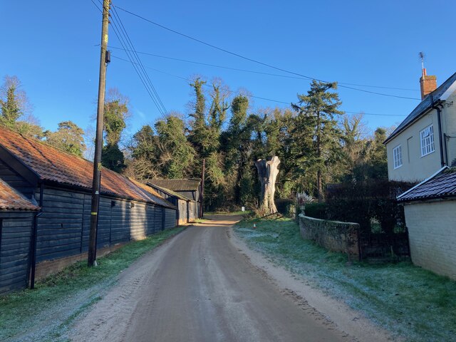
Sewer Plantation, Suffolk is a picturesque woodland located in the county of Suffolk, England. Covering an area of approximately 200 acres, this plantation is a part of the larger Sewer Forest, which is renowned for its natural beauty and diverse ecosystem.
The forest primarily consists of dense woodlands, filled with towering trees and lush vegetation. It is home to a wide range of plant and animal species, making it a haven for nature enthusiasts and wildlife lovers. Some of the common tree species found in the Sewer Plantation include oak, beech, ash, and birch, adding to the charm of the surroundings.
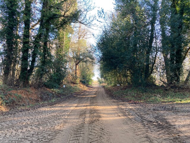
The woodland is crisscrossed by a network of well-maintained trails, enabling visitors to explore its beauty on foot or by bike. These trails offer a range of difficulty levels, catering to both leisurely strolls and more challenging hikes. Along the way, visitors can enjoy panoramic views of the surrounding countryside, with glimpses of rolling hills and meandering streams.
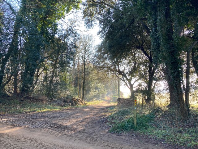
Sewer Plantation is not only a natural haven but also serves as an important recreational area for locals and tourists alike. It provides opportunities for various outdoor activities such as picnicking, birdwatching, and photography. The peaceful ambiance and tranquility of the woodland make it an ideal spot for relaxation and meditation as well.
Overall, Sewer Plantation, Suffolk is a captivating woodland that showcases the beauty of nature at its finest. With its diverse flora and fauna, well-maintained trails, and serene atmosphere, it is a must-visit destination for anyone seeking solace in the lap of nature.
If you have any feedback on the listing, please let us know in the comments section below.
Sewer Plantation Images
Images are sourced within 2km of 52.072678/1.3808203 or Grid Reference TM3146. Thanks to Geograph Open Source API. All images are credited.


Sewer Plantation is located at Grid Ref: TM3146 (Lat: 52.072678, Lng: 1.3808203)
Administrative County: Suffolk
District: East Suffolk
Police Authority: Suffolk
What 3 Words
///doormat.wimp.youth. Near Woodbridge, Suffolk
Nearby Locations
Related Wikis

Sutton Heath
Sutton Heath is a civil parish on the former site of RAF Woodbridge, in the East Suffolk district, in the county of Suffolk, England. The parish was formed...
Sutton, Suffolk
Sutton is a village and a civil parish on the B1083 road, in the East Suffolk district, in the county of Suffolk, England. Sutton has a pub, a mobile post...

Sutton and Hollesley Heaths
Sutton and Hollesley Heaths is a 483.3-hectare (1,194-acre) biological Site of Special Scientific Interest south-east of Woodbridge in Suffolk. Most of...

Crag Pit, Sutton
Crag Pit, Sutton is a 0.7-hectare (1.7-acre) biological Site of Special Scientific Interest north of Shottisham in Suffolk. It is in the Suffolk Coast...
Nearby Amenities
Located within 500m of 52.072678,1.3808203Have you been to Sewer Plantation?
Leave your review of Sewer Plantation below (or comments, questions and feedback).