Ash Covert
Wood, Forest in Suffolk East Suffolk
England
Ash Covert
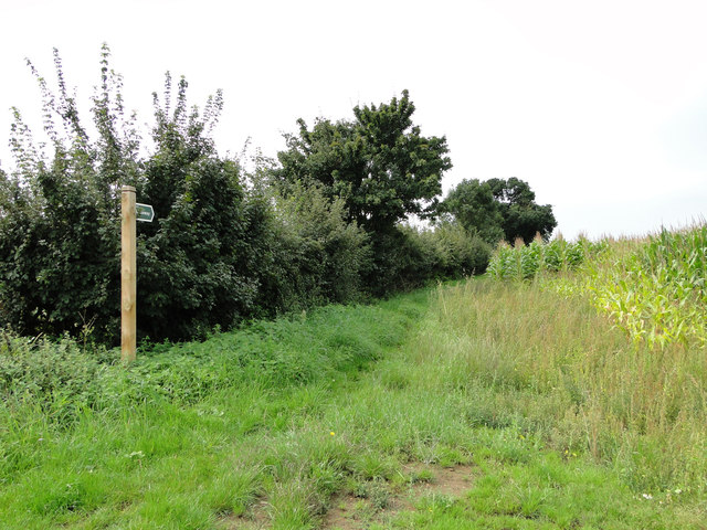
Ash Covert is a small woodland located in Suffolk, England. Situated in the heart of the county, it is known for its dense forest and lush greenery, making it a popular spot for nature enthusiasts and hikers alike. The woodland is part of a larger network of woodlands in the region, providing a rich and diverse ecosystem.
Covering an area of approximately 100 acres, Ash Covert is home to a variety of tree species, including oak, ash, and beech, creating a vibrant and picturesque landscape. The forest floor is adorned with a carpet of ferns and wildflowers, adding to its natural beauty.
The woodland is crisscrossed by several walking trails, allowing visitors to explore its hidden corners and discover the abundance of flora and fauna that reside within. It is not uncommon to spot various bird species, such as woodpeckers and owls, as well as small mammals like squirrels and rabbits.
Ash Covert is managed by the local forestry commission, ensuring its preservation and protection for future generations. The woodland provides a tranquil escape from the hustle and bustle of everyday life, making it an ideal location for relaxation and contemplation.
Due to its proximity to nearby towns and villages, Ash Covert is easily accessible by car or public transport, attracting visitors from both the local area and further afield. Whether it is for a leisurely stroll, a family picnic, or an adventurous hike, Ash Covert offers a serene and enchanting experience for all nature enthusiasts.
If you have any feedback on the listing, please let us know in the comments section below.
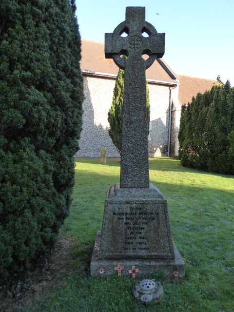
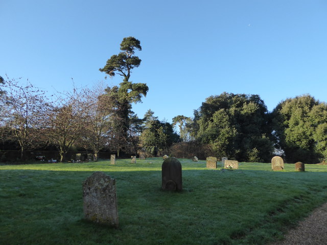
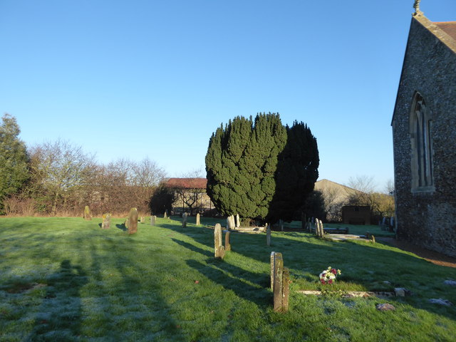
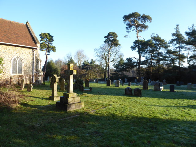
Ash Covert Images
Images are sourced within 2km of 52.067575/1.3831198 or Grid Reference TM3146. Thanks to Geograph Open Source API. All images are credited.

Ash Covert is located at Grid Ref: TM3146 (Lat: 52.067575, Lng: 1.3831198)
Administrative County: Suffolk
District: East Suffolk
Police Authority: Suffolk
What 3 Words
///steady.tingled.inspector. Near Woodbridge, Suffolk
Related Wikis

Crag Pit, Sutton
Crag Pit, Sutton is a 0.7-hectare (1.7-acre) biological Site of Special Scientific Interest north of Shottisham in Suffolk. It is in the Suffolk Coast...

Sutton and Hollesley Heaths
Sutton and Hollesley Heaths is a 483.3-hectare (1,194-acre) biological Site of Special Scientific Interest south-east of Woodbridge in Suffolk. Most of...

Sutton, Suffolk
Sutton is a village and a civil parish on the B1083 road, in the East Suffolk district, in the county of Suffolk, England. Sutton has a pub, a mobile post...
Sutton Heath
Sutton Heath is a civil parish on the former site of RAF Woodbridge, in the East Suffolk district, in the county of Suffolk, England. The parish was formed...
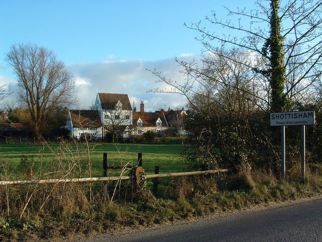
Shottisham
Shottisham is a village and civil parish in the East Suffolk district, in the county of Suffolk. It lies in the Wilford Hundred, about four and a half...
Wilford Hundred
Wilford is a hundred of Suffolk, consisting of 31,500 acres (127 km2).Wilford Hundred extends about 12 miles (19 km) southward from Debach to Woodbridge...
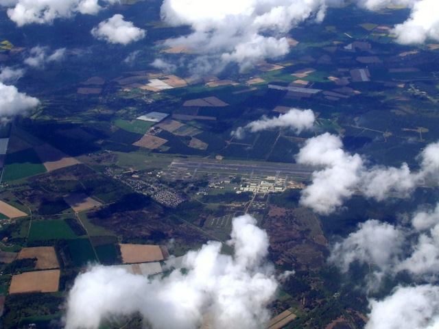
MoD Woodbridge
Ministry of Defence Woodbridge or MoD Woodbridge is a military installation located near the town of Woodbridge, in Suffolk, England. The site opened in...

RAF Woodbridge
Royal Air Force Woodbridge, or more simply RAF Woodbridge, is a former Royal Air Force station located east of Woodbridge in the county of Suffolk, England...
Related Videos

Wild camp on the River Deben, Suffolk 30/11/19 #wildcamp #youtubermeetup
So we met fellow youtubers Tom Outdoors & 1st Class Adventures for a Wild camp on the River Deben, on a site locally known as ...
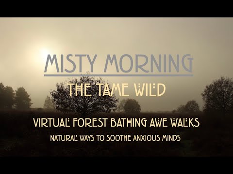
Calming Virtual Awe Walk on a Misty Autumn Morning in English Woodland.
Calming Virtual Awe Walk on a Misty Autumn Morning in English woodland... Five minute virtual nature walk to help reduce stress ...
Steve Hood Films Aerial Showreel DJI Mavic Pro 2
Some Aerial footage filmed at locations where we have filmed weddings DJI Mavic Pro2.
Nearby Amenities
Located within 500m of 52.067575,1.3831198Have you been to Ash Covert?
Leave your review of Ash Covert below (or comments, questions and feedback).