Big Wood
Wood, Forest in Norfolk Broadland
England
Big Wood
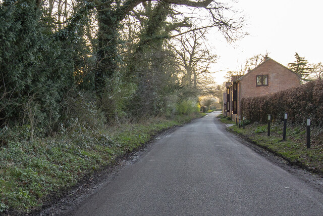
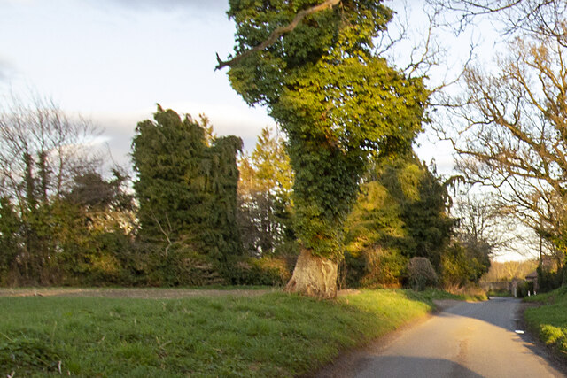
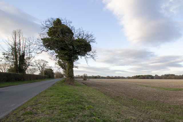
Big Wood is a dense forest located in the county of Norfolk, England. It covers an expansive area of land, spanning approximately 200 acres. The wood is predominantly made up of deciduous trees, including oak, beech, and birch, which contribute to its lush and verdant appearance.
This woodland is known for its biodiversity and serves as a habitat for a wide range of wildlife species. Bird enthusiasts can spot various avian species, such as woodpeckers, owls, and buzzards, while mammal lovers may encounter deer, foxes, and squirrels. The forest floor is also home to an array of flora, including bluebells, wild garlic, and ferns, adding to the natural beauty of the area.
Big Wood is a popular destination for nature lovers and outdoor enthusiasts alike. The dense foliage and well-maintained walking trails provide an idyllic setting for hikers, joggers, and dog walkers to enjoy the serene surroundings. The wood also offers ample opportunities for photography, with its picturesque landscapes and abundant wildlife.
The wood is managed by the local authorities, who ensure its preservation and conservation. They regularly conduct maintenance activities, such as tree thinning and clearing fallen branches, to maintain the safety and health of the woodland.
Overall, Big Wood is a cherished natural gem in Norfolk, offering visitors a tranquil escape from the hustle and bustle of everyday life, while providing a vital habitat for the local flora and fauna.
If you have any feedback on the listing, please let us know in the comments section below.
Big Wood Images
Images are sourced within 2km of 52.641718/1.427723 or Grid Reference TG3210. Thanks to Geograph Open Source API. All images are credited.


Big Wood is located at Grid Ref: TG3210 (Lat: 52.641718, Lng: 1.427723)
Administrative County: Norfolk
District: Broadland
Police Authority: Norfolk
What 3 Words
///punctual.renews.alienated. Near Brundall, Norfolk
Nearby Locations
Related Wikis

Great and Little Plumstead
Great and Little Plumstead is a civil parish in the English county of Norfolk consisting of the villages of Great Plumstead, Little Plumstead and Thorpe...

Blofield Heath
Blofield Heath is a hamlet in the civil parish of Blofield, in the Broadland district, in the county of Norfolk, England. It is about 7 miles from Norwich...

Blofield
Blofield is a village and civil parish in the Broadland district of Norfolk, England. The parish includes Blofield and the hamlets of Blofield Heath and...

Brundall
Brundall is a village and civil parish in the English county of Norfolk. It is located on the north bank of the River Yare opposite Surlingham Broad and...
Norwich United F.C.
Norwich United Football Club is a football club based in Blofield, Norfolk, England. Affiliated to the Norfolk County FA, they play at Plantation Park...
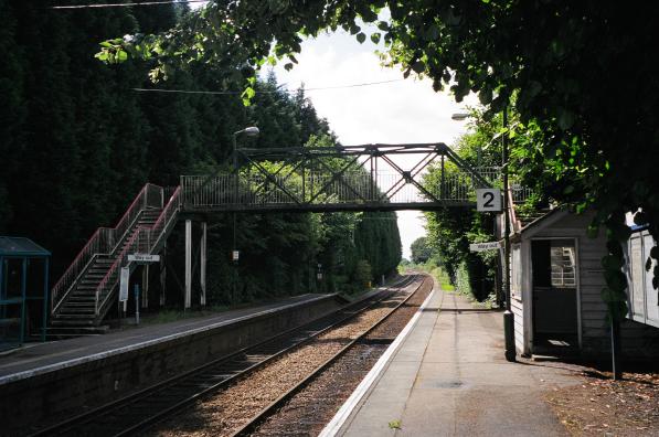
Brundall Gardens railway station
Brundall Gardens railway station is on the Wherry Lines in the East of England, serving the western side of the village of Brundall, Norfolk. It is 4 miles...
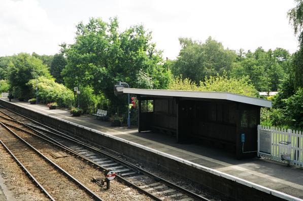
Brundall railway station
Brundall railway station is on the Wherry Lines in the east of England, serving the village of Brundall, Norfolk. It is 5 miles 60 chains (9.3 km) down...
Postwick with Witton
Postwick with Witton ( ) is a civil parish on the Broads in the English county of Norfolk, comprising the two adjacent villages of Postwick and Witton...
Nearby Amenities
Located within 500m of 52.641718,1.427723Have you been to Big Wood?
Leave your review of Big Wood below (or comments, questions and feedback).