Dawling's Wood
Wood, Forest in Norfolk Broadland
England
Dawling's Wood
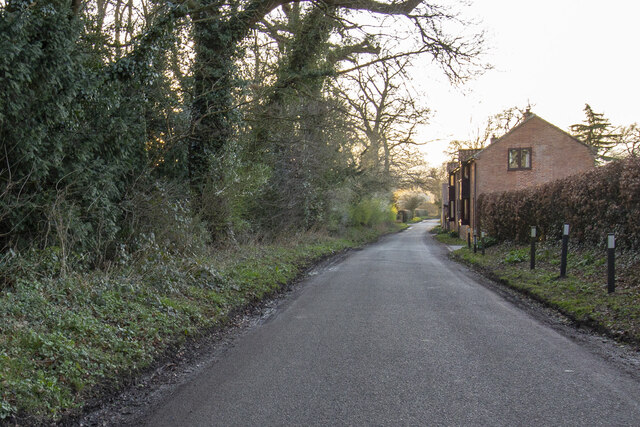
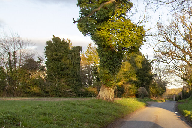
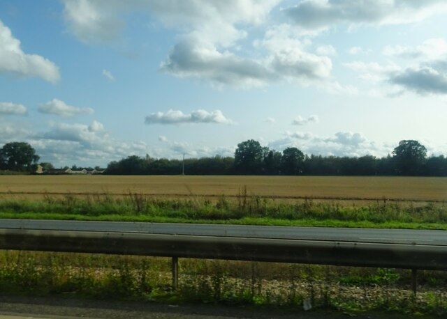
Dawling's Wood is a picturesque woodland located in Norfolk, England. Spanning an area of approximately 50 acres, this enchanting forest is a popular destination for nature lovers and outdoor enthusiasts alike. The wood is situated on the outskirts of the village of Dawling, surrounded by rolling hills and meandering streams.
The woodland boasts a diverse range of flora and fauna, making it a haven for wildlife. Ancient oak trees dominate the landscape, their gnarled branches reaching toward the sky. These majestic trees provide shelter and sustenance for a variety of bird species, including woodpeckers and owls. The forest floor is carpeted with a rich tapestry of wildflowers, ferns, and mosses, creating a vibrant and colorful display throughout the seasons.
Tranquility and serenity abound within Dawling's Wood, with its peaceful atmosphere and secluded paths inviting visitors to explore and unwind. There are several well-maintained walking trails that wind their way through the forest, offering opportunities to observe the local flora and fauna up close. The sound of rustling leaves and birdsong fills the air, providing a soothing backdrop as one immerses themselves in the natural beauty of the surroundings.
Dawling's Wood also holds historical significance, with remnants of an ancient settlement dating back to the Iron Age discovered within its boundaries. Archaeological excavations have revealed evidence of human habitation, including pottery shards and tools, providing a fascinating glimpse into the area's past.
Overall, Dawling's Wood in Norfolk is a captivating destination that offers a tranquil escape into nature, rich biodiversity, and a touch of history.
If you have any feedback on the listing, please let us know in the comments section below.
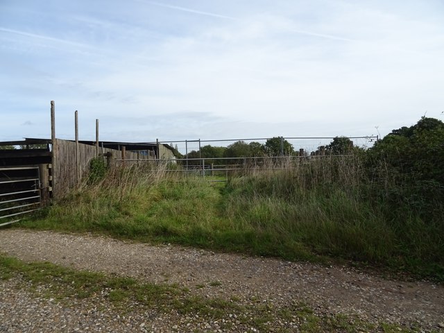
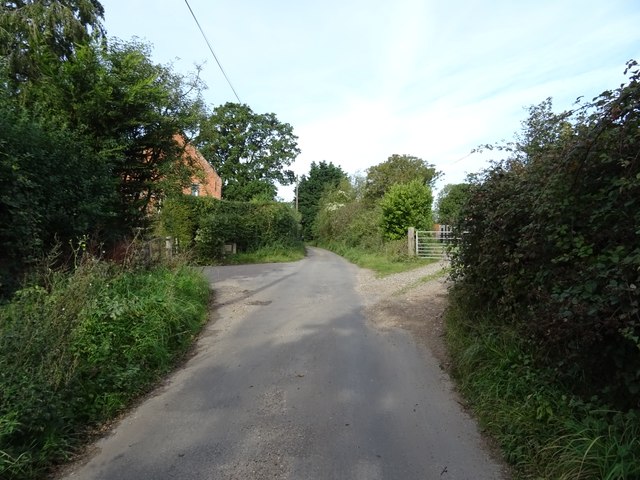
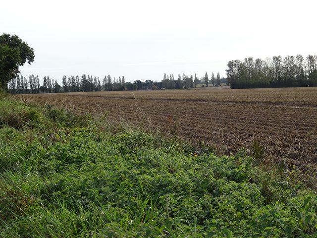
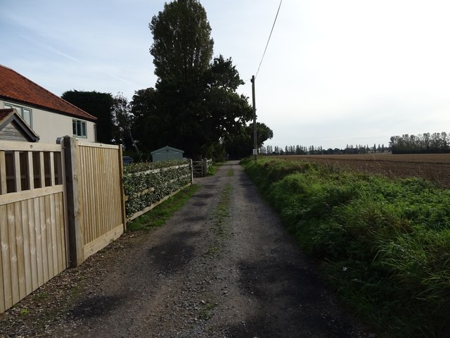
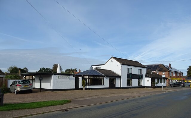
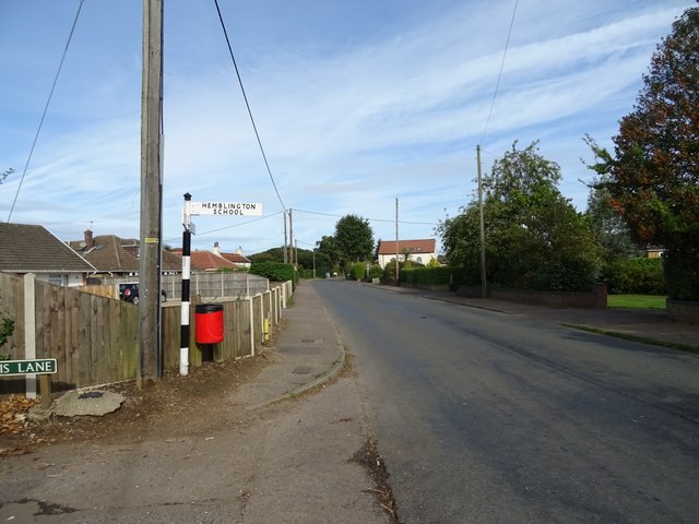
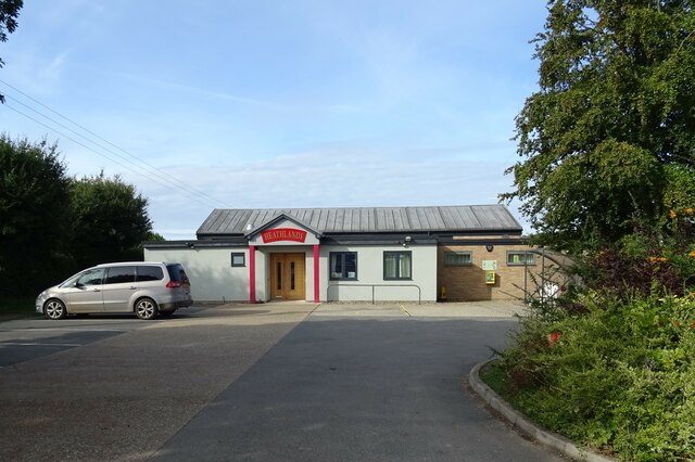
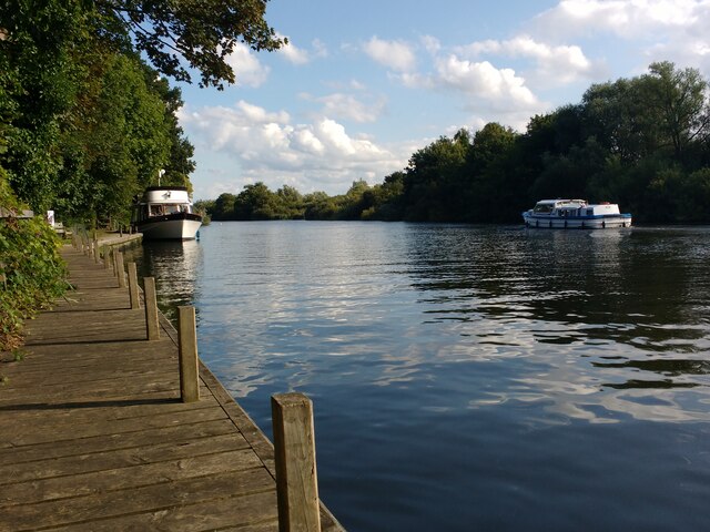
Dawling's Wood Images
Images are sourced within 2km of 52.638142/1.4294686 or Grid Reference TG3210. Thanks to Geograph Open Source API. All images are credited.


Dawling's Wood is located at Grid Ref: TG3210 (Lat: 52.638142, Lng: 1.4294686)
Administrative County: Norfolk
District: Broadland
Police Authority: Norfolk
What 3 Words
///milky.kickbacks.flasks. Near Brundall, Norfolk
Nearby Locations
Related Wikis

Blofield
Blofield is a village and civil parish in the Broadland district of Norfolk, England. The parish includes Blofield and the hamlets of Blofield Heath and...

Brundall
Brundall is a village and civil parish in the English county of Norfolk. It is located on the north bank of the River Yare opposite Surlingham Broad and...

Great and Little Plumstead
Great and Little Plumstead is a civil parish in the English county of Norfolk consisting of the villages of Great Plumstead, Little Plumstead and Thorpe...

Blofield Heath
Blofield Heath is a hamlet in the civil parish of Blofield, in the Broadland district, in the county of Norfolk, England. It is about 7 miles from Norwich...
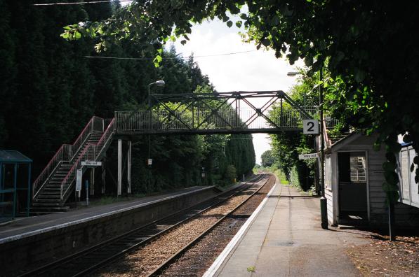
Brundall Gardens railway station
Brundall Gardens railway station is on the Wherry Lines in the East of England, serving the western side of the village of Brundall, Norfolk. It is 4 miles...
Norwich United F.C.
Norwich United Football Club is a football club based in Blofield, Norfolk, England. Affiliated to the Norfolk County FA, they play at Plantation Park...
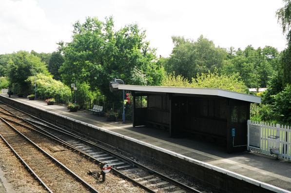
Brundall railway station
Brundall railway station is on the Wherry Lines in the east of England, serving the village of Brundall, Norfolk. It is 5 miles 60 chains (9.3 km) down...
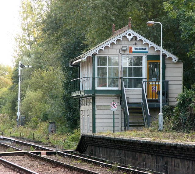
Brundall signal box
Brundall signal box is a Grade II listed former Great Eastern Railway signal box on Brundall railway station in Norfolk, England. Located on the Wherry...
Nearby Amenities
Located within 500m of 52.638142,1.4294686Have you been to Dawling's Wood?
Leave your review of Dawling's Wood below (or comments, questions and feedback).