Broom Covert
Wood, Forest in Suffolk East Suffolk
England
Broom Covert
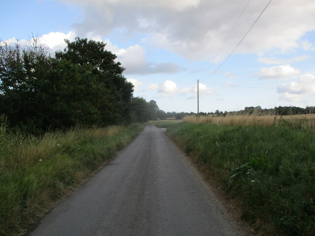
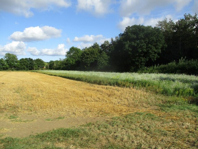
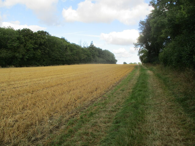
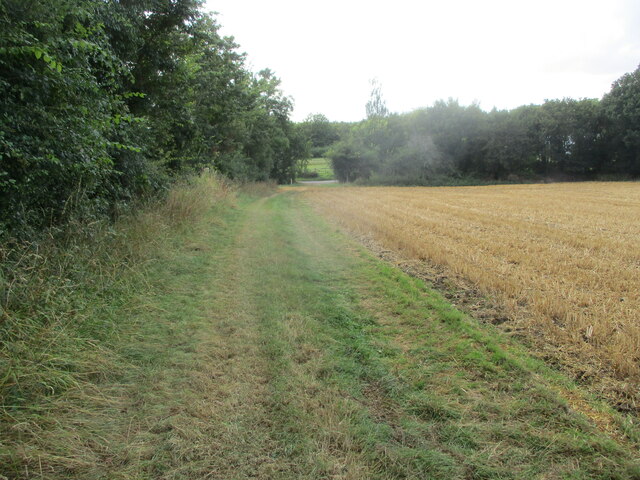
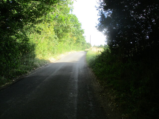
Broom Covert is a picturesque wood located in Suffolk, England. Situated within the larger Thetford Forest, it covers an area of approximately 400 hectares. The woodland is named after the broom shrubs that are prevalent throughout the area, adding vibrant bursts of yellow to the landscape during the spring and summer months.
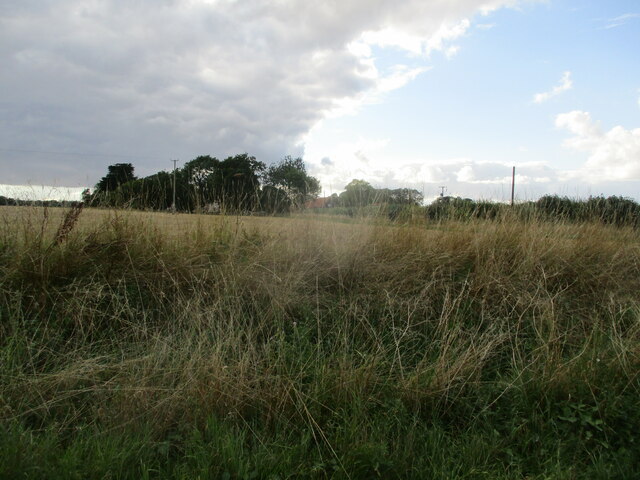
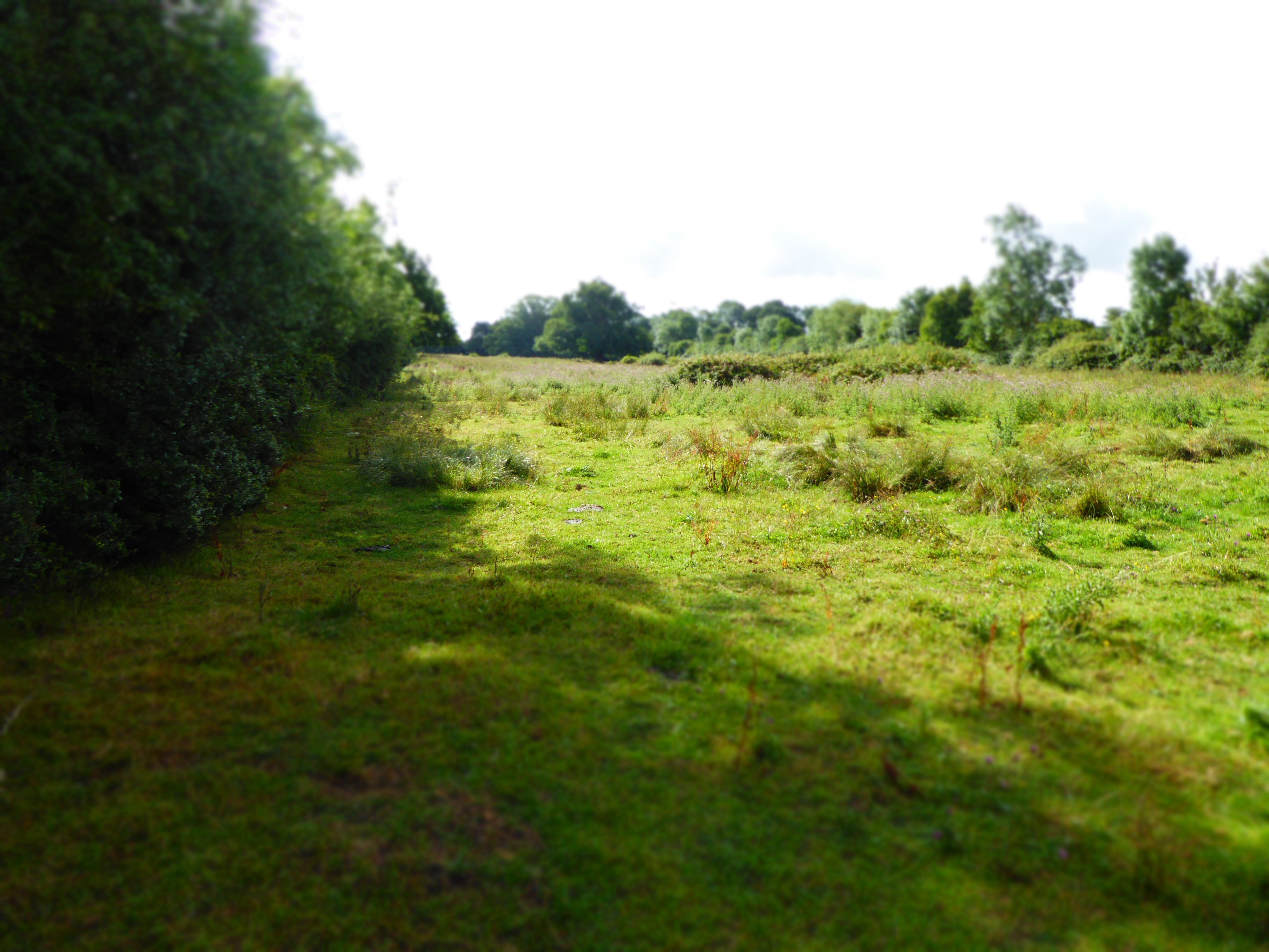
The diverse habitat of Broom Covert offers a haven for a wide variety of flora and fauna. Ancient oaks, birch trees, and Scots pines dominate the woodland, creating a dense canopy that filters sunlight and creates a tranquil atmosphere. The forest floor is adorned with carpets of bluebells, wood anemones, and wild garlic, providing a breathtaking display of color and fragrance in the spring.
The wildlife in Broom Covert is equally impressive. The wood is home to numerous bird species, including woodpeckers, jays, and nightingales, which can be heard singing their melodious tunes during the dawn and dusk hours. Squirrels and rabbits can also be spotted darting through the undergrowth, while deer roam freely in the quieter areas of the wood.
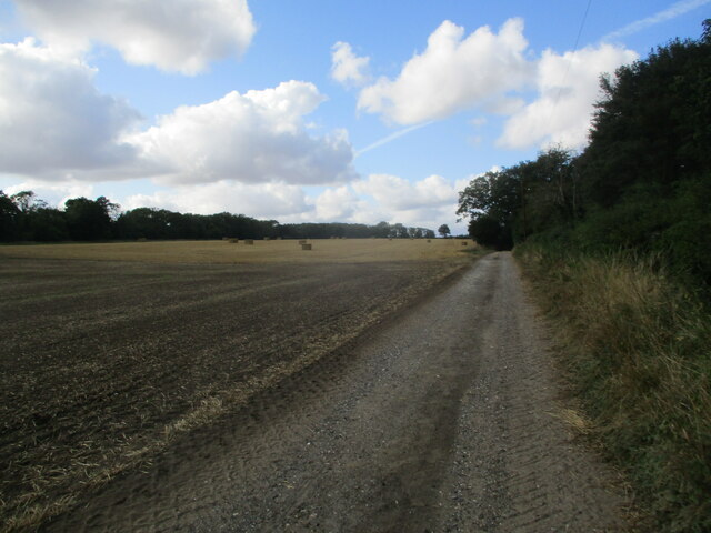
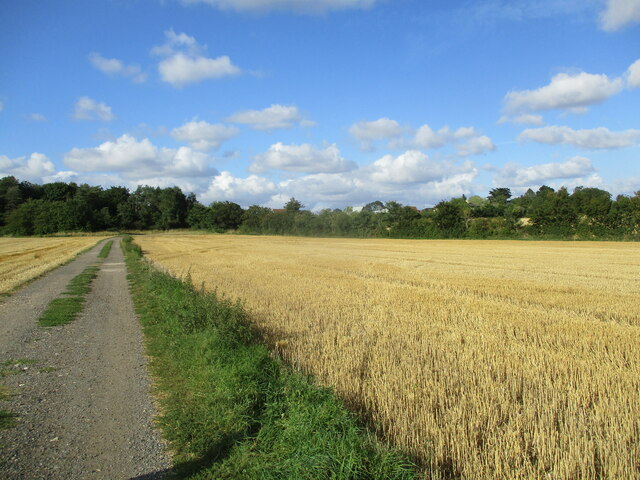
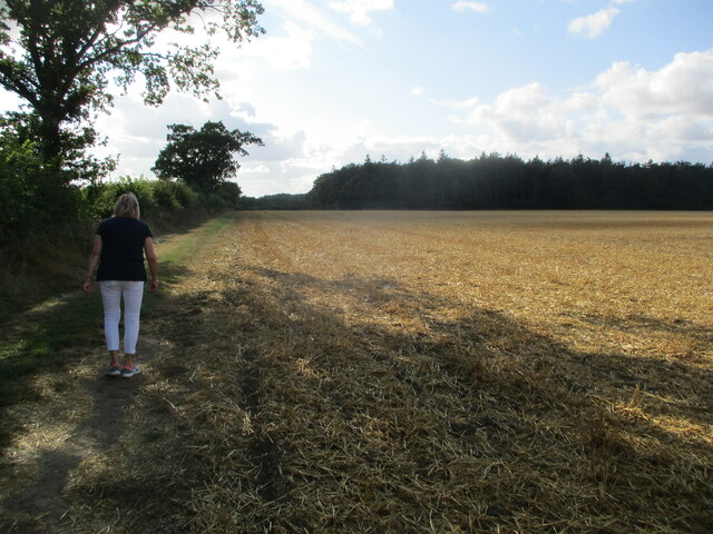
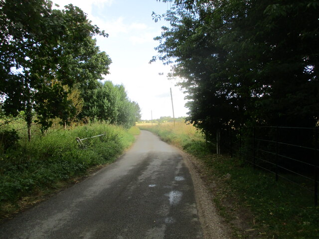
Broom Covert offers several well-maintained walking trails, allowing visitors to explore the wood and soak in its natural beauty. The paths wind through the trees, providing glimpses of tranquil ponds and clearings along the way. The wood is a popular destination for nature enthusiasts, photographers, and those seeking a peaceful retreat in the heart of nature.
Overall, Broom Covert is a captivating woodland that showcases the beauty of Suffolk's natural landscape. Its rich biodiversity and serene atmosphere make it a must-visit destination for anyone seeking a peaceful escape in the heart of nature.
If you have any feedback on the listing, please let us know in the comments section below.
Broom Covert Images
Images are sourced within 2km of 52.220444/1.3971526 or Grid Reference TM3263. Thanks to Geograph Open Source API. All images are credited.


Broom Covert is located at Grid Ref: TM3263 (Lat: 52.220444, Lng: 1.3971526)
Administrative County: Suffolk
District: East Suffolk
Police Authority: Suffolk
What 3 Words
///blurs.filed.shunted. Near Framlingham, Suffolk
Nearby Locations
Related Wikis
Cransford Meadow
Cransford Meadow is a 4.6-hectare (11-acre) biological Site of Special Scientific Interest south of Cransford in Suffolk.This unimproved grassland site...

Cransford
Cransford is a village and a civil parish in the East Suffolk district, in the English county of Suffolk. The civil parish had a population at the 2011...

Norwich Crag Formation
The Norwich Crag Formation is a stratigraphic unit of the British Pleistocene Epoch. It is the second youngest unit of the Crag Group, a sequence of four...

Great Glemham
Great Glemham is a village and civil parish in the East Suffolk district, England, a mile and a half to the west of the A12 and roughly equidistant between...

Sweffling
Sweffling is a village and a civil parish in the East Suffolk district, in the county of Suffolk, England. Nearby settlements include the town of Saxmundham...
RAF Framlingham
Royal Air Force Framlingham or more simply RAF Framlingham is a former Royal Air Force station located 3 miles (4.8 km) southeast of Framlingham, Suffolk...

Parham Airfield Museum
Parham Airfield Museum is a museum in Framlingham in Suffolk, England. The airfield was named after the village of Parham in Suffolk famously linked to...

Rendham
Rendham is a village and civil parish on the B1119 road, in the East Suffolk district, in the English county of Suffolk. It is near the town Saxmundham...
Nearby Amenities
Located within 500m of 52.220444,1.3971526Have you been to Broom Covert?
Leave your review of Broom Covert below (or comments, questions and feedback).