Brightwell Heath

Downs, Moorland in Suffolk East Suffolk

England

Brightwell Heath

RAF Martlesham Memorials Each of the three memorials respect a different aspect of RAF Martlesham.
The Memorial on the left  <a title="https://www.geograph.org.uk/photo/5049313" href="https://www.geograph.org.uk/photo/5049313">Link</a> is in Remembrance of the men of the USAAF 356th Fighter Group who lost their lives in the course of their duty.
The smaller central memorial <a title="https://www.geograph.org.uk/photo/5049318" href="https://www.geograph.org.uk/photo/5049318">Link</a> is to RAF Station Martlesham itself and the contribution it made to the advancement of flight safety in both Military and Civil Aviation. From 1917 when it was the Aircraft Experimental Station of the Royal Flying Corps and continued in service until 1963. Between 1924 and 1939 it expanded its role and was renamed Aeroplane and Armament Experimental Establishment. At the outbreak of World war Two it became a Fighter base for the RAF and USAAF. Post war it resumed its experimental and research which included the Blind Landing Experimental Unit and the Bomb Ballistics Unit.
The Memorial on the right <a title="https://www.geograph.org.uk/photo/5049332" href="https://www.geograph.org.uk/photo/5049332">Link</a> is in memory of all those who gave their lives in War and Peace while serving at RAF Martlesham Heath. Including members of the Royal Flying Corps,  Royal Air Force, Dominions and Exiled Air Forces and the British Aircraft Industry.
RAF Martlesham Memorials Credit: Adrian S Pye

Brightwell Heath is a picturesque rural area located in Suffolk, England. Nestled between the Downs and Moorland, it offers a unique and diverse landscape for residents and visitors alike. Covering an area of approximately 5 square miles, Brightwell Heath is renowned for its natural beauty and tranquil surroundings.

The Downs in Brightwell Heath are characterized by rolling hills, vast meadows, and lush greenery. This area boasts breathtaking views, making it a haven for hikers and nature enthusiasts. The Downs are home to a wide variety of plant and animal species, including rare wildflowers and several bird species, providing an opportunity for nature lovers to explore and appreciate the local flora and fauna.

On the other hand, the Moorland in Brightwell Heath offers a different landscape. With its vast expanses of heather, gorse, and peat bogs, the Moorland is a unique habitat that supports a range of wildlife. It is particularly popular with birdwatchers, as it provides a habitat for rare species such as the hen harrier and the short-eared owl.

Brightwell Heath is also dotted with charming villages and hamlets, where locals live a peaceful and idyllic countryside lifestyle. The community is tight-knit, and residents take pride in preserving the natural environment and heritage of the area.

Overall, Brightwell Heath is a place of natural beauty and tranquility, offering a diverse range of landscapes and a haven for those seeking to immerse themselves in the wonders of the Suffolk countryside.

If you have any feedback on the listing, please let us know in the comments section below.

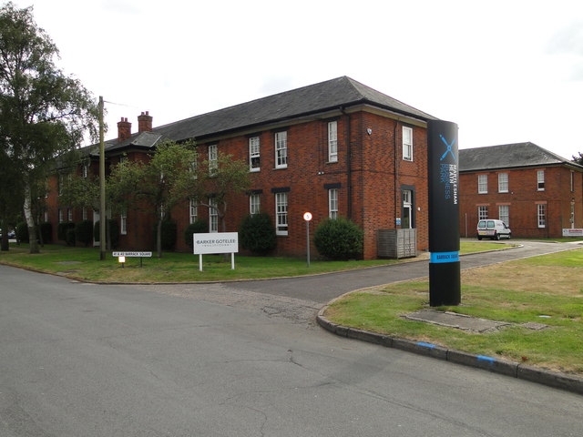
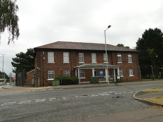
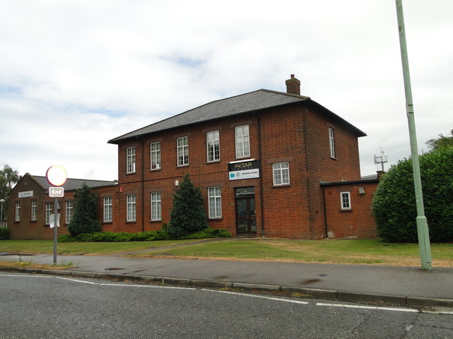
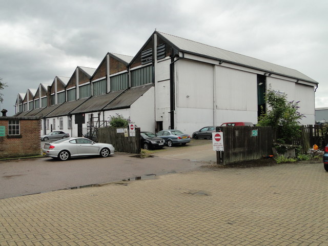
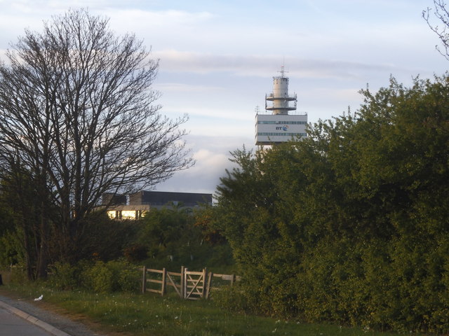
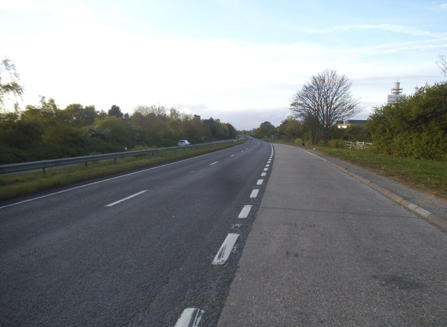
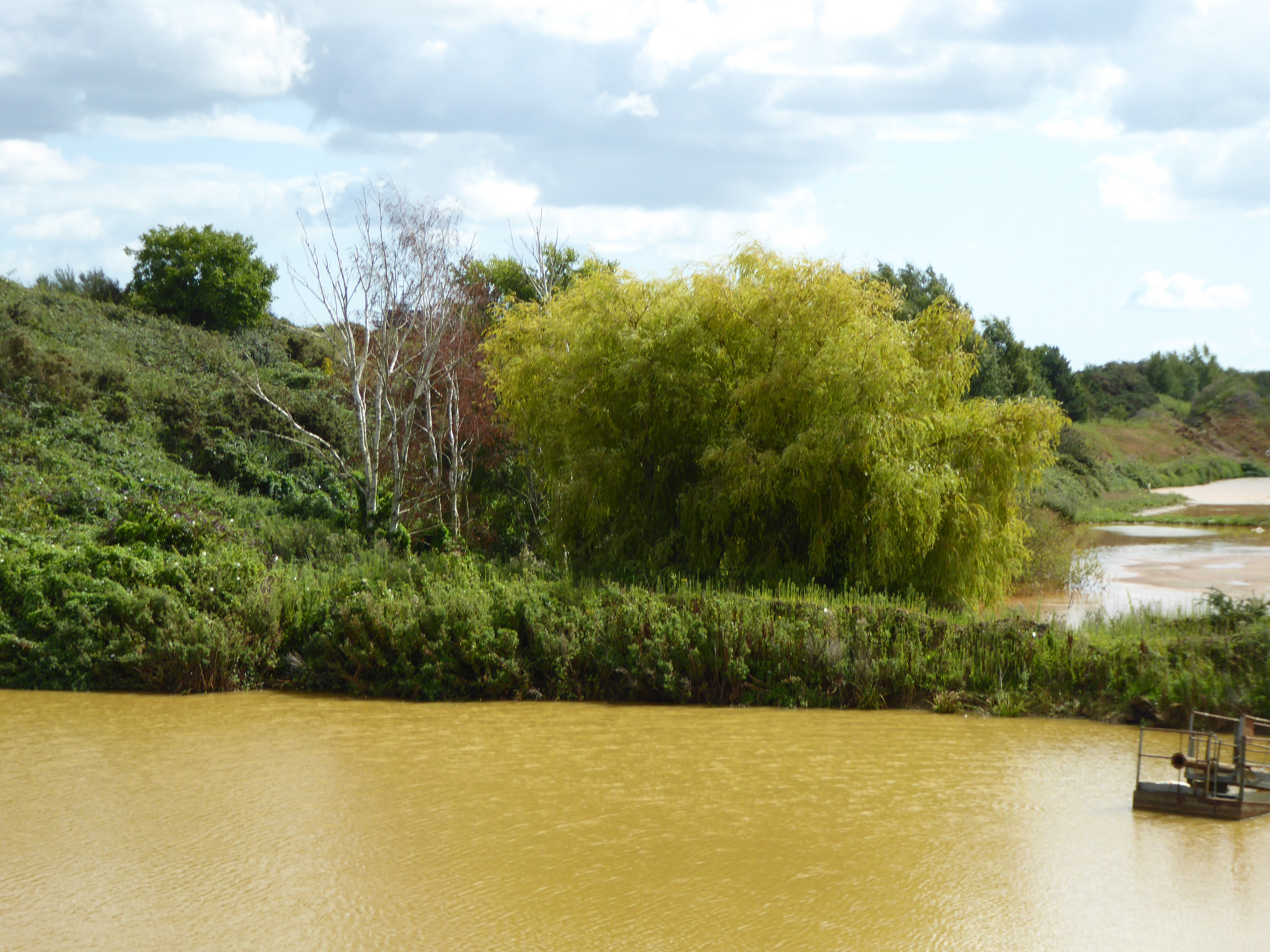
Brightwell Heath Images

Images are sourced within 2km of 52.053173/1.2879583 or Grid Reference TM2544. Thanks to Geograph Open Source API. All images are credited.

RAF Martlesham Memorials Each of the three memorials respect a different aspect of RAF Martlesham.
The Memorial on the left  <a title="https://www.geograph.org.uk/photo/5049313" href="https://www.geograph.org.uk/photo/5049313">Link</a> is in Remembrance of the men of the USAAF 356th Fighter Group who lost their lives in the course of their duty.
The smaller central memorial <a title="https://www.geograph.org.uk/photo/5049318" href="https://www.geograph.org.uk/photo/5049318">Link</a> is to RAF Station Martlesham itself and the contribution it made to the advancement of flight safety in both Military and Civil Aviation. From 1917 when it was the Aircraft Experimental Station of the Royal Flying Corps and continued in service until 1963. Between 1924 and 1939 it expanded its role and was renamed Aeroplane and Armament Experimental Establishment. At the outbreak of World war Two it became a Fighter base for the RAF and USAAF. Post war it resumed its experimental and research which included the Blind Landing Experimental Unit and the Bomb Ballistics Unit.
The Memorial on the right <a title="https://www.geograph.org.uk/photo/5049332" href="https://www.geograph.org.uk/photo/5049332">Link</a> is in memory of all those who gave their lives in War and Peace while serving at RAF Martlesham Heath. Including members of the Royal Flying Corps,  Royal Air Force, Dominions and Exiled Air Forces and the British Aircraft Industry.
RAF Martlesham Memorials
Each of the three memorials respect a different aspect of RAF Martlesham. The Memorial on the left Link is in Remembrance of the men of the USAAF 356th Fighter Group who lost their lives in the course of their duty. The smaller central memorial Link is to RAF Station Martlesham itself and the contribution it made to the advancement of flight safety in both Military and Civil Aviation. From 1917 when it was the Aircraft Experimental Station of the Royal Flying Corps and continued in service until 1963. Between 1924 and 1939 it expanded its role and was renamed Aeroplane and Armament Experimental Establishment. At the outbreak of World war Two it became a Fighter base for the RAF and USAAF. Post war it resumed its experimental and research which included the Blind Landing Experimental Unit and the Bomb Ballistics Unit. The Memorial on the right Link is in memory of all those who gave their lives in War and Peace while serving at RAF Martlesham Heath. Including members of the Royal Flying Corps, Royal Air Force, Dominions and Exiled Air Forces and the British Aircraft Industry.
Memorial to USAAF personnel, RAF Martlesham Heath The left memorial in this group of three <a title="https://www.geograph.org.uk/photo/5049301" href="https://www.geograph.org.uk/photo/5049301">Link</a>
Erected in Remembrance of the men of the USAAF 356th Fighter Group who lost their lives in the course of their duty.
Names should be readable in largest image.
Memorial to USAAF personnel, RAF Martlesham Heath
The left memorial in this group of three Link Erected in Remembrance of the men of the USAAF 356th Fighter Group who lost their lives in the course of their duty. Names should be readable in largest image.
The central of three RAF Martlesham Heath Memorials This memorial is one of three <a title="https://www.geograph.org.uk/photo/5049301" href="https://www.geograph.org.uk/photo/5049301">Link</a> and is to RAF Station Martlesham itself and the contribution it made to the advancement of flight safety in both Military and Civil Aviation. From 1917 when it was the Aircraft Experimental Station of the Royal Flying Corps until 1963. Between 1924 and 1939 it expanded its role and was renamed Aeroplane and Armament Experimental Establishment. At the outbreak of World War Two it became a Fighter base for the RAF and USAAF. Post war it resumed its experimental and research which included the Blind Landing Experimental Unit and the Bomb Ballistics Unit until its closure in 1963.
The central of three RAF Martlesham Heath Memorials
This memorial is one of three Link and is to RAF Station Martlesham itself and the contribution it made to the advancement of flight safety in both Military and Civil Aviation. From 1917 when it was the Aircraft Experimental Station of the Royal Flying Corps until 1963. Between 1924 and 1939 it expanded its role and was renamed Aeroplane and Armament Experimental Establishment. At the outbreak of World War Two it became a Fighter base for the RAF and USAAF. Post war it resumed its experimental and research which included the Blind Landing Experimental Unit and the Bomb Ballistics Unit until its closure in 1963.
Memorial to the role of RAF Martlesham Heath 1919-1963 This Memorial is the one on the right of this group <a title="https://www.geograph.org.uk/photo/5049301" href="https://www.geograph.org.uk/photo/5049301">Link</a> it is in memory of all those who gave their lives in War and Peace while serving at RAF Martlesham Heath. Including members of the Royal Flying Corps, Royal Air Force, Dominions and Exiled Air Forces and the British Aircraft Industry.
Memorial to the role of RAF Martlesham Heath 1919-1963
This Memorial is the one on the right of this group Link it is in memory of all those who gave their lives in War and Peace while serving at RAF Martlesham Heath. Including members of the Royal Flying Corps, Royal Air Force, Dominions and Exiled Air Forces and the British Aircraft Industry.
Once the Barracks Blocks of RAF Martlesham Heath Four Barracks blocks still stand surrounding what was once the parade ground. The Barracks are currently mainly residential with some utilised as office accommodation.
Once the Barracks Blocks of RAF Martlesham Heath
Four Barracks blocks still stand surrounding what was once the parade ground. The Barracks are currently mainly residential with some utilised as office accommodation.
Ex-Station Headquarters RAF Martlesham Heath The old Station HQ is now the offices of Innovation Martlesham which is an established cluster of high-tech ICT companies located at Adastral Park.
Ex-Station Headquarters RAF Martlesham Heath
The old Station HQ is now the offices of Innovation Martlesham which is an established cluster of high-tech ICT companies located at Adastral Park.
Ex-RAF Martlesham Heath Station Commander's house The Station Commander's house is currently used as offices for Arena Travel who specialise the Royal British Legion’s “Journeys of Remembrance” tours to the battlefields of Europe, Africa and Asia via the RBL’s own travel company, Remembrance Travel.
Ex-RAF Martlesham Heath Station Commander's house
The Station Commander's house is currently used as offices for Arena Travel who specialise the Royal British Legion’s “Journeys of Remembrance” tours to the battlefields of Europe, Africa and Asia via the RBL’s own travel company, Remembrance Travel.
One of the old hangars of ex-RAF Martlesham Heath The hangar is now used for light industry. The other hangar was situated where Tesco now have their supermarket (IRO TM 2475 4596)
One of the old hangars of ex-RAF Martlesham Heath
The hangar is now used for light industry. The other hangar was situated where Tesco now have their supermarket (IRO TM 2475 4596)
Cut Mark Martlesham No. 52 Barrack Square Cut Mark Martlesham No. 52 Barrack Square, SE angle.
Cut Mark Martlesham No. 52 Barrack Square
Cut Mark Martlesham No. 52 Barrack Square, SE angle.
Cut Mark Martlesham Heath No. 41 Barrack Square  Cut Mark Martlesham Heath No. 41 Barrack Square, N face, NE angle.
Cut Mark Martlesham Heath No. 41 Barrack Square 
Cut Mark Martlesham Heath No. 41 Barrack Square, N face, NE angle.
Cut Mark Martlesham No. 34 Anson Road Cut Mark Martlesham No. 34 Anson Road, NW angle, W face
Cut Mark Martlesham No. 34 Anson Road
Cut Mark Martlesham No. 34 Anson Road, NW angle, W face
The 'Douglas Bader' public house at Martlesham <a title="https://www.geograph.org.uk/photo/5318774" href="https://www.geograph.org.uk/photo/5318774">Link</a>
The 'Douglas Bader' public house at Martlesham
The sign of the 'Douglas Bader' public house <a title="https://www.geograph.org.uk/photo/5318773" href="https://www.geograph.org.uk/photo/5318773">Link</a>
The sign of the 'Douglas Bader' public house
Verge by the A12, Martlesham Heath
The A12, Martlesham Heath
Roundabout on the A12, Martlesham Heath
The BT tower, Martlesham Heath Part of the research centre.
The BT tower, Martlesham Heath
Part of the research centre.
The A12, Martlesham Heath You can just see the BT research centre on the right
The A12, Martlesham Heath
You can just see the BT research centre on the right
Show me another place!

Brightwell Heath is located at Grid Ref: TM2544 (Lat: 52.053173, Lng: 1.2879583)

Administrative County: Suffolk

District: East Suffolk

Police Authority: Suffolk

What 3 Words

///funds.unzips.spellings. Near Kesgrave, Suffolk

Related Wikis

Waldringfield Pit

Waldringfield Pit is a 0.8-hectare (2.0-acre) geological Site of Special Scientific Interest between Martlesham Heath and Waldringfield in Suffolk. It...

Centre for Integrated Photonics

The Centre for Integrated Photonics (CIP) was a research and development centre for photonic devices. It was based in Phoenix House at Adastral Park in...

Adastral Park

Adastral Park is a science campus based on part of the old Royal Air Force Station at Martlesham Heath, near Ipswich in the English county of Suffolk....

Brightwell, Suffolk

Brightwell is a village and civil parish in the East Suffolk district, in the English county of Suffolk. It has a church called St John The Baptist. For...

Nearby Amenities

Located within 500m of 52.053173,1.2879583
Crossing
Crossing: marked
Lat/Long: 52.0553285/1.2824233
FIXME: Needs survey to check
Bunker Type: pillbox
Military: bunker
Lat/Long: 52.0532762/1.2807842
Power: pole
Lat/Long: 52.04965/1.2894345
Power: pole
Lat/Long: 52.0547582/1.2875489
Power: pole
Lat/Long: 52.0538659/1.2887009
Power: pole
Lat/Long: 52.0558492/1.2872659
Power: pole
Lat/Long: 52.0528392/1.289641
Power: pole
Lat/Long: 52.0567786/1.287062
Power: pole
Lat/Long: 52.0567671/1.2869897
Power: pole
Lat/Long: 52.0505465/1.2889221
Power: pole
Lat/Long: 52.0518166/1.2893004
Crossing
Crossing: marked
Lat/Long: 52.0563829/1.2833772
Office: yes
Lat/Long: 52.0508911/1.2853137
Office: yes
Lat/Long: 52.0507655/1.285336
Office: yes
Lat/Long: 52.0510147/1.285722
Office: yes
Lat/Long: 52.0510617/1.2864364
Office: yes
Lat/Long: 52.0508165/1.2868064
Man Made: charge_point
Lat/Long: 52.0564727/1.2835161
Man Made: charge_point
Lat/Long: 52.0564871/1.2835573
The data included in this document is from www.openstreetmap.org. The data is made available under ODbL.

Have you been to Brightwell Heath?

Leave your review of Brightwell Heath below (or comments, questions and feedback).