Fredville Park
Downs, Moorland in Kent Dover
England
Fredville Park

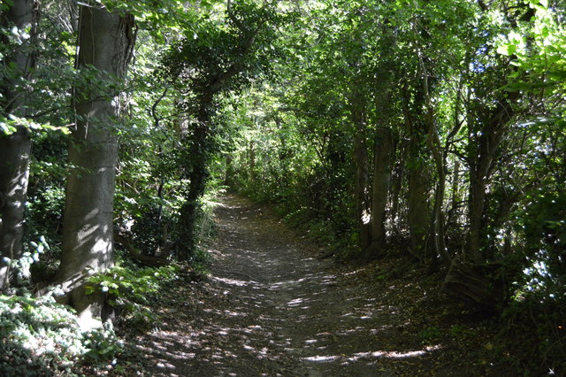
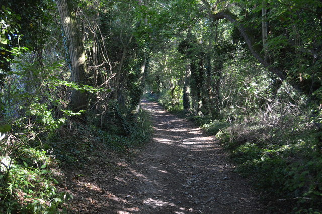
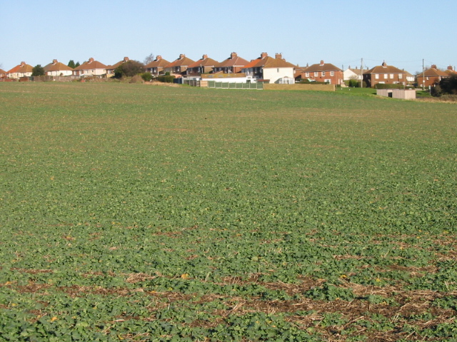
Fredville Park is a picturesque estate located in the county of Kent, England. Situated amidst the stunning surroundings of the Kent Downs and Moorland, this park offers visitors a tranquil and idyllic retreat from the hustle and bustle of city life. Covering a vast area of land, Fredville Park is known for its diverse landscape, which includes rolling hills, lush meadows, and dense woodlands.
The park boasts a rich history, with its origins dating back to the 17th century. It was originally owned by the Chichester family and has since passed through several generations. Today, it remains in private ownership and is not open to the general public. However, the park's natural beauty can still be appreciated from afar, as it is surrounded by public footpaths and bridleways that offer stunning views of the estate.
Fredville Park is a haven for wildlife enthusiasts, with an abundance of flora and fauna to discover. The woodland areas are home to a variety of bird species, including woodpeckers, owls, and songbirds. The meadows are adorned with vibrant wildflowers during the spring and summer months, attracting butterflies and bees in large numbers.
The park is also known for its excellent equestrian facilities, with numerous riding trails and stables available for horse enthusiasts. The rolling hills and open spaces provide the perfect backdrop for horse riding and equestrian events.
In conclusion, Fredville Park is a hidden gem in the heart of Kent, offering a sanctuary of natural beauty and tranquility. Its diverse landscape, rich history, and abundance of wildlife make it a must-visit destination for nature lovers and outdoor enthusiasts alike.
If you have any feedback on the listing, please let us know in the comments section below.
Fredville Park Images
Images are sourced within 2km of 51.215383/1.2298806 or Grid Reference TR2551. Thanks to Geograph Open Source API. All images are credited.


Fredville Park is located at Grid Ref: TR2551 (Lat: 51.215383, Lng: 1.2298806)
Administrative County: Kent
District: Dover
Police Authority: Kent
What 3 Words
///advancing.apricot.terminology. Near Aylesham, Kent
Nearby Locations
Related Wikis
Frogham, Kent
Frogham is a hamlet in the Dover District of East Kent, England, between Canterbury and Dover. It is located between the former coal mining village of...

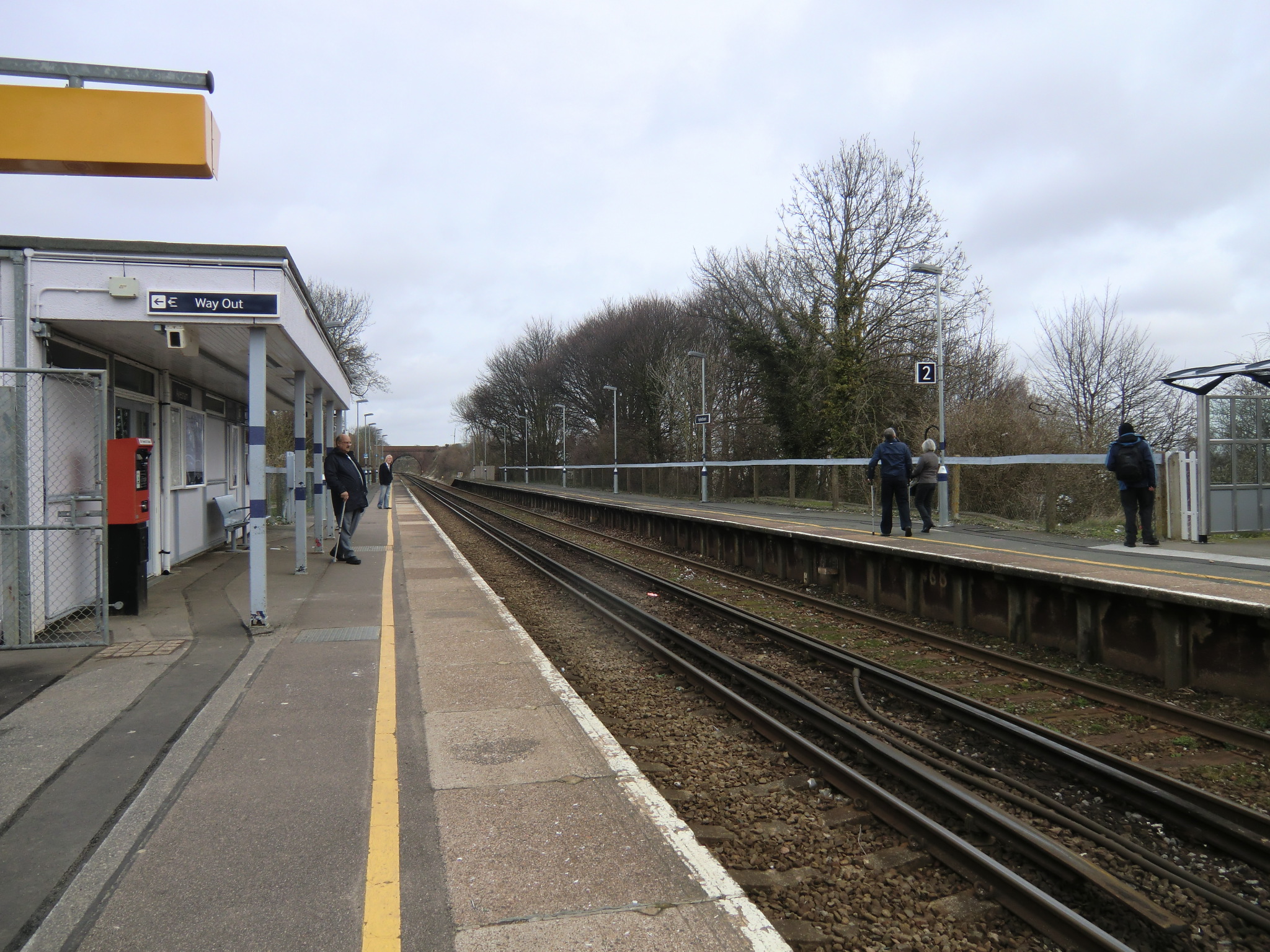
Snowdown railway station
Snowdown railway station is on the Dover branch of the Chatham Main Line in England, and serves the hamlet of Snowdown, Kent. It is 69 miles 60 chains...

Barfrestone
Barfrestone is a village and (as Barfreston) a former civil parish, now in the parish of Eythorne, in the Dover district, in east Kent, England. It is...
Nonington
Nonington (variously, Nonnington, Nunyngton, Nonnyngton and Nunnington), is a civil parish and village in east Kent, halfway between the historic city...

Snowdown
Snowdown is a hamlet near Dover in Kent, England. It was the location of one of the four chief collieries of the Kent coalfield, which closed in 1987....
Aylesham railway station
Aylesham railway station is on the Dover branch of the Chatham Main Line in England, and serves the village of Aylesham, Kent. It is 68 miles 66 chains...
Elvington, Kent
Elvington is a small pit village on a ridge in between Canterbury and Dover in the county of Kent in Southeast England. Located near Eythorne , Elvington...

Aylesham
Aylesham is a village and civil parish in the Dover district of Kent, England. The village is 6.5 miles (10.5 km) southeast of the cathedral city of Canterbury...
Nearby Amenities
Located within 500m of 51.215383,1.2298806Have you been to Fredville Park?
Leave your review of Fredville Park below (or comments, questions and feedback).