The Shrubbery

Downs, Moorland in Kent Canterbury

England

The Shrubbery

South Barham Farm
South Barham Farm Credit: N Chadwick

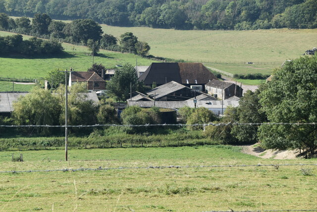
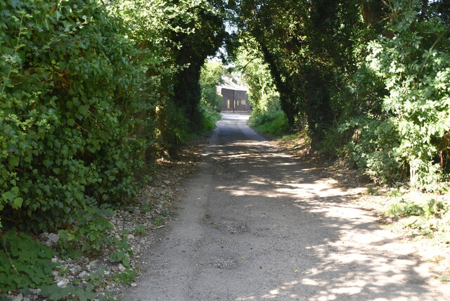
The Shrubbery, located in Kent, England, is a picturesque area known for its beautiful landscapes encompassing downs and moorland. Nestled in the southeastern region of the country, the Shrubbery offers stunning views of rolling hills, lush greenery, and diverse flora and fauna.

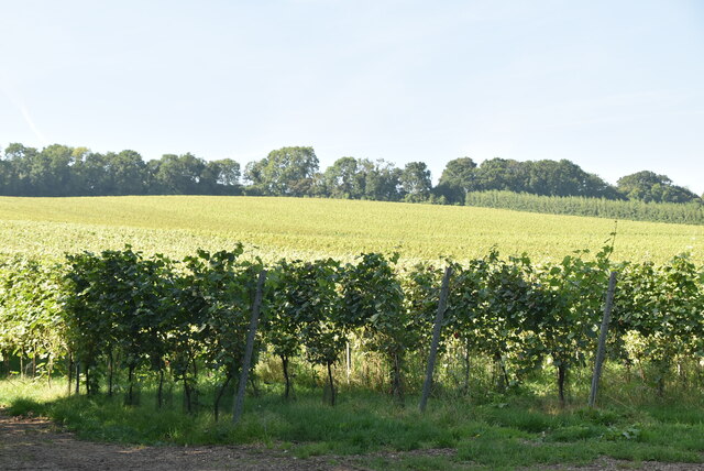
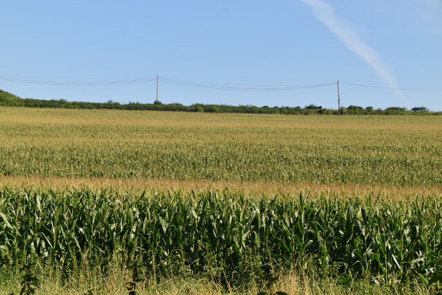
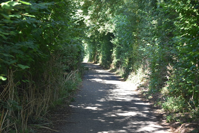
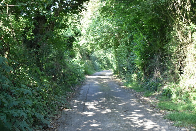
The downs, which are characteristic of this area, are large open spaces covered in grass and wildflowers. These downs create a unique and serene environment, perfect for nature enthusiasts and hikers. Visitors can explore the downs by following various well-marked trails, which provide an opportunity to observe the local wildlife, including rabbits, foxes, and an array of bird species.

Moorland, another feature of the Shrubbery, offers a different landscape with its heather-covered hills and open expanses. It provides a habitat for many rare species of plants and animals, making it a haven for nature conservation. The Moorland is also a popular spot for birdwatching, as it attracts a wide range of bird species, including kestrels, peregrine falcons, and curlews.

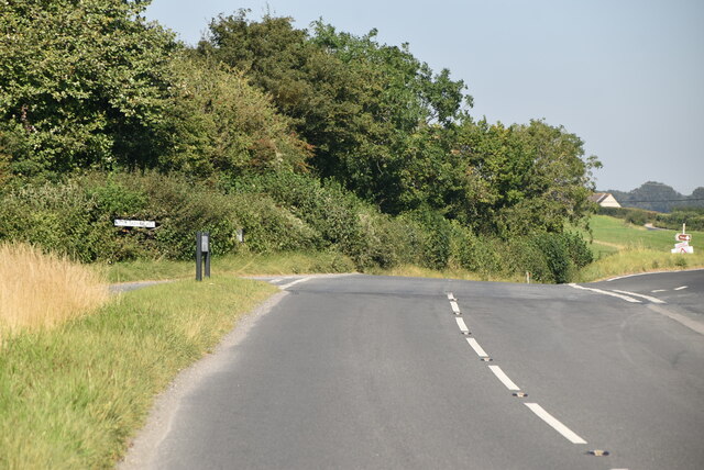
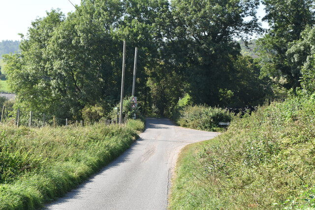
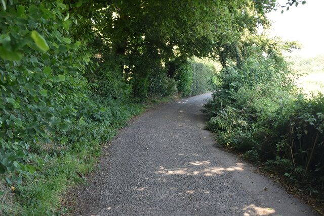
The Shrubbery is not only a haven for nature lovers but also offers recreational activities for visitors. It boasts numerous walking and cycling routes, allowing visitors to immerse themselves in the stunning surroundings. Additionally, the area provides picnic spots and camping facilities, making it an ideal destination for a day trip or a longer stay.

Overall, the Shrubbery in Kent offers a diverse and captivating natural environment, combining downs and moorland, that promises visitors a memorable and enriching experience surrounded by the beauty of nature.

If you have any feedback on the listing, please let us know in the comments section below.

The Shrubbery Images

Images are sourced within 2km of 51.209412/1.1567165 or Grid Reference TR2050. Thanks to Geograph Open Source API. All images are credited.

South Barham Farm
South Barham Farm
South Barham Farm
South Barham Farm
South Barham Farm
South Barham Farm
Elham Valley Rd
Elham Valley Rd
South Barham Hill
South Barham Hill
An old chalk pit
An old chalk pit
South Barham Rd
South Barham Rd
South Barham Rd
South Barham Rd
Farmland
Farmland
South Barham Rd
South Barham Rd
South Barham Road
South Barham Road
South Barham Rd
South Barham Rd
Heasland Barn Barham is a village in the Elham Valley about 6 miles SE of Canterbury.
Wikipedia: <span class="nowrap"><a title="https://en.wikipedia.org/wiki/Barham,_Kent" rel="nofollow ugc noopener" href="https://en.wikipedia.org/wiki/Barham,_Kent">Link</a><img style="margin-left:2px;" alt="External link" title="External link - shift click to open in new window" src="https://s1.geograph.org.uk/img/external.png" width="10" height="10"/></span>
Heasland Barn
Barham is a village in the Elham Valley about 6 miles SE of Canterbury. Wikipedia: LinkExternal link
Ford Cottage Barham is a village in the Elham Valley about 6 miles SE of Canterbury.
Wikipedia: <span class="nowrap"><a title="https://en.wikipedia.org/wiki/Barham,_Kent" rel="nofollow ugc noopener" href="https://en.wikipedia.org/wiki/Barham,_Kent">Link</a><img style="margin-left:2px;" alt="External link" title="External link - shift click to open in new window" src="https://s1.geograph.org.uk/img/external.png" width="10" height="10"/></span>
Ford Cottage
Barham is a village in the Elham Valley about 6 miles SE of Canterbury. Wikipedia: LinkExternal link
Lochee Villas Barham is a village in the Elham Valley about 6 miles SE of Canterbury.
Wikipedia: <span class="nowrap"><a title="https://en.wikipedia.org/wiki/Barham,_Kent" rel="nofollow ugc noopener" href="https://en.wikipedia.org/wiki/Barham,_Kent">Link</a><img style="margin-left:2px;" alt="External link" title="External link - shift click to open in new window" src="https://s1.geograph.org.uk/img/external.png" width="10" height="10"/></span>
Lochee Villas
Barham is a village in the Elham Valley about 6 miles SE of Canterbury. Wikipedia: LinkExternal link
Cornerways Grade II listed.
Cornerways
Grade II listed.
Show me another place!

The Shrubbery is located at Grid Ref: TR2050 (Lat: 51.209412, Lng: 1.1567165)

Administrative County: Kent

District: Canterbury

Police Authority: Kent

What 3 Words

///plums.postage.tastes. Near Barham, Kent

Related Wikis

Barham, Kent

Barham is a village and civil parish in the City of Canterbury district of Kent, England. Barham village is approximately 6 miles (10 km) south-east from...

Barham railway station

Barham was a station on the Elham Valley Railway. It opened in 1887 and closed to passengers in 1940 and freight in 1947. == History == The station opened...

Black Mill, Barham

Black Mill or Barham Downs Mill was a smock mill at Barham, Kent, England which was accidentally burnt down in 1970 while under restoration. == History... ==

Heart's Delight, City of Canterbury

Heart's Delight is a settlement located near Barham in Kent, England. There is a similarly-known settlement near Sittingbourne in the Swale district of...

Nearby Amenities

Located within 500m of 51.209412,1.1567165
Post Box
Collection Times: Mo-Fr 09:00; Sa 07:00
Operator: Royal Mail
Operator Wikidata: Q638098
Post Box Mounting: wall
Post Box Type: wall
Postal Code: CT4
Ref: CT4 178
Royal Cypher: GR
Royal Cypher Wikidata: Q33102273
Source: survey
Lat/Long: 51.2073311/1.1609282
Pub
The Duke of Cumberland
Addr City: Canterbury
Addr County: Kent
Addr Postcode: CT4 6NY
Addr Street: The Street
Addr Village: Barham
Fhrs Id: 1152898
Phone: +44 1227 831396
Source Addr Postcode: http://www.dukeofcumberland.co.uk/contacts.htm
Source Phone: Sign on side of building.
Source Website: Sign on side of building.
Website: https://www.dukeofcumberland.co.uk/
Lat/Long: 51.2073836/1.1588659
Crossing
Crossing: uncontrolled
Crossing Ref: zebra
Lat/Long: 51.206741/1.1573876
Bicycle Parking
Bicycle Parking: stands
Capacity: 6
Covered: no
Sponsor: Spokes East Kent Cycle Campaign
Lat/Long: 51.2062026/1.1574189
Bus Stop
Primary School
Naptan AtcoCode: 2400A043340A
Naptan Bearing: N
Naptan CommonName: Primary School
Naptan Indicator: adj
Naptan Landmark: Primary School
Naptan NaptanCode: kntdtpga
Naptan Street: Valley Road
Naptan Verified: no
Public Transport: platform
Ref: kntdtpga
Source: naptan_import
Source Date: 2018-08-20T11:49:00
Lat/Long: 51.206529/1.1572924
Bus Stop
Primary School
Bus: yes
Naptan AtcoCode: 240099594
Naptan Bearing: S
Naptan CommonName: Primary School
Naptan Indicator: opp
Naptan Landmark: Primary School
Naptan NaptanCode: kntgptwg
Naptan Street: Valley Road
Naptan Verified: no
Public Transport: platform
Ref: kntgptwg
Source: naptan_import
Source Date: 2018-08-20T11:51:00
Lat/Long: 51.2063874/1.1575405
Bus Stop
The Shrubbery
Fixme: Can somebody confirm is there is a bus stop here?
Flag: no
Naptan AtcoCode: 240099596
Naptan Bearing: NW
Naptan BusStopType: CUS
Naptan CommonName: The Shrubbery
Naptan Indicator: adj
Naptan Landmark: The Shrubbery
Naptan NaptanCode: kntgptjw
Naptan Street: Valley Road
Naptan Verified: no
Public Transport: platform
Ref: kntgptjw
Source: naptan_import
Source Date: 2018-08-20T11:52:00
Lat/Long: 51.2113692/1.1542584
Bus Stop
The Shrubbery
Bus: yes
Flag: no
Naptan AtcoCode: 240099598
Naptan Bearing: SE
Naptan BusStopType: CUS
Naptan CommonName: The Shrubbery
Naptan Indicator: opp
Naptan Landmark: The Shrubbery
Naptan NaptanCode: kntgpgtm
Naptan Street: Valley Road
Naptan Verified: no
Public Transport: platform
Ref: kntgpgtm
Source: naptan_import
Source Date: 2018-08-20T11:55:00
Lat/Long: 51.2114871/1.1544136
Power: pole
Lat/Long: 51.212255/1.1530782
Barrier: stile
Lat/Long: 51.2086752/1.1562054
Barrier: stile
Lat/Long: 51.2113192/1.1565005
Barrier: stile
Lat/Long: 51.2099344/1.1572578
Barrier: stile
Source: visual_estimate
Lat/Long: 51.2110851/1.1554672
Tourism: viewpoint
Lat/Long: 51.2069491/1.1515125
Barham Village Green
Tourism: picnic_site
Lat/Long: 51.2066777/1.1579551
Generator Method: photovoltaic
Generator Orientation: 239
Generator Output Electricity: yes
Generator Solar Modules: 23
Generator Source: solar
Generator Type: solar_photovoltaic_panel
Location: roof
Power: generator
Lat/Long: 51.2109146/1.1543021
Generator Method: photovoltaic
Generator Orientation: 150
Generator Output Electricity: yes
Generator Solar Modules: 10
Generator Source: solar
Generator Type: solar_photovoltaic_panel
Location: roof
Power: generator
Lat/Long: 51.2109915/1.1544181
Generator Method: photovoltaic
Generator Orientation: 176
Generator Output Electricity: yes
Generator Solar Modules: 4
Generator Source: solar
Generator Type: solar_photovoltaic_panel
Location: roof
Power: generator
Lat/Long: 51.2063667/1.1553387
Generator Method: photovoltaic
Generator Orientation: 190
Generator Output Electricity: yes
Generator Solar Modules: 9
Generator Source: solar
Generator Type: solar_photovoltaic_panel
Location: roof
Power: generator
Lat/Long: 51.2051441/1.1572887
Generator Method: photovoltaic
Generator Orientation: 190
Generator Output Electricity: yes
Generator Solar Modules: 7
Generator Source: solar
Generator Type: solar_photovoltaic_panel
Location: roof
Power: generator
Lat/Long: 51.2051592/1.1571687
Generator Method: photovoltaic
Generator Orientation: 251
Generator Output Electricity: yes
Generator Solar Modules: 10
Generator Source: solar
Generator Type: solar_photovoltaic_panel
Location: roof
Power: generator
Lat/Long: 51.2104071/1.1547714
Generator Method: photovoltaic
Generator Orientation: 150
Generator Output Electricity: yes
Generator Solar Modules: 6
Generator Source: solar
Generator Type: solar_photovoltaic_panel
Location: roof
Power: generator
Lat/Long: 51.2108663/1.1543832
Generator Method: photovoltaic
Generator Orientation: 150
Generator Output Electricity: yes
Generator Source: solar
Generator Type: solar_photovoltaic_panel
Location: roof
Power: generator
Lat/Long: 51.2113246/1.1540365
Generator Method: photovoltaic
Generator Orientation: 239
Generator Output Electricity: yes
Generator Source: solar
Generator Type: solar_photovoltaic_panel
Location: roof
Power: generator
Lat/Long: 51.2113834/1.153944
Defibrillator
Access: yes
Defibrillator Location: Located in entrance archway
Emergency: defibrillator
Indoor: no
Ref GB The Circuit: 655D31F7-8A76-4263-AAE9-AE920094896D
Lat/Long: 51.2065984/1.1619048
The data included in this document is from www.openstreetmap.org. The data is made available under ODbL.

Have you been to The Shrubbery?

Leave your review of The Shrubbery below (or comments, questions and feedback).