Breach Downs
Downs, Moorland in Kent Canterbury
England
Breach Downs

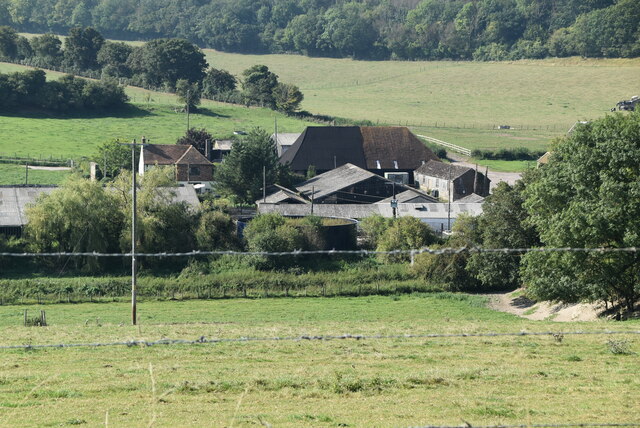
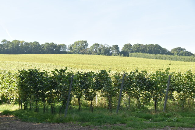
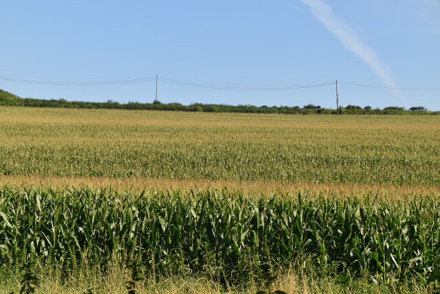
Breach Downs, located in Kent, England, is a picturesque area known for its stunning scenery and diverse natural features. Spanning over a vast expanse, it encompasses both downs and moorland, offering visitors a unique and varied landscape to explore.
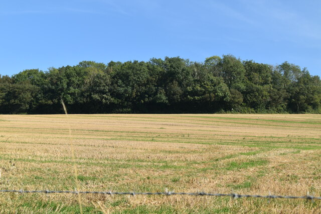
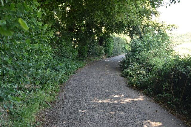
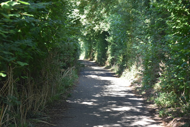
The downs of Breach Downs are characterized by their rolling hills, covered in lush green grass and dotted with vibrant wildflowers. These open spaces provide breathtaking panoramic views of the surrounding countryside and are ideal for leisurely walks and picnics. The gentle slopes of the downs also make them popular among hikers and cyclists, who can enjoy the tranquil atmosphere while engaging in outdoor activities.
In contrast, the moorland section of Breach Downs offers a different atmosphere altogether. This rugged and wild terrain is dominated by heather and gorse, creating a vibrant tapestry of colors in the summer months. Moorland birds, such as the red grouse, can be spotted here, making it a haven for birdwatchers and nature enthusiasts.
Breach Downs is also home to several species of wildlife, including rabbits, foxes, and various birds of prey. The area has been designated as a Site of Special Scientific Interest (SSSI) due to its rich biodiversity and unique geological features. The chalk cliffs found here are particularly notable, with their striking white color contrasting against the deep blue of the English Channel.
Overall, Breach Downs, Kent, offers visitors a diverse and captivating natural environment. Whether one seeks peaceful walks, wildlife observation, or simply a place to admire the beauty of nature, this area provides a memorable experience for all who visit.
If you have any feedback on the listing, please let us know in the comments section below.
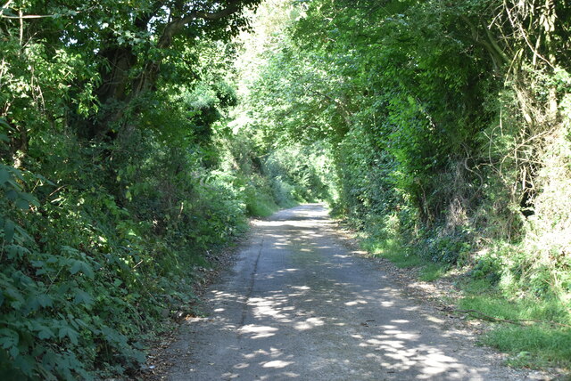
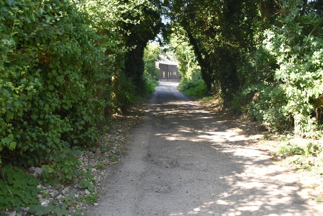
Breach Downs Images
Images are sourced within 2km of 51.192787/1.1538329 or Grid Reference TR2048. Thanks to Geograph Open Source API. All images are credited.


Breach Downs is located at Grid Ref: TR2048 (Lat: 51.192787, Lng: 1.1538329)
Administrative County: Kent
District: Canterbury
Police Authority: Kent
What 3 Words
///ignore.parked.puzzle. Near Barham, Kent
Nearby Locations
Related Wikis

Heart's Delight, City of Canterbury
Heart's Delight is a settlement located near Barham in Kent, England. There is a similarly-known settlement near Sittingbourne in the Swale district of...
Breach, Kent
Breach is a small settlement in the Elham Valley about one mile (1.6 km) south of Barham(where, at the 2011 Census, the population was included) in Kent...

Barham railway station
Barham was a station on the Elham Valley Railway. It opened in 1887 and closed to passengers in 1940 and freight in 1947. == History == The station opened...

Jumping Downs
Jumping Downs is a 5.7-hectare (14-acre) Local Nature Reserve near Aylesham, between Canterbury and Dover in Kent. It is owned by the Jumping Downs Trust...
Nearby Amenities
Located within 500m of 51.192787,1.1538329Have you been to Breach Downs?
Leave your review of Breach Downs below (or comments, questions and feedback).