Derringstone Downs

Downs, Moorland in Kent Canterbury

England

Derringstone Downs

Elham Valley Rd
Elham Valley Rd Credit: N Chadwick

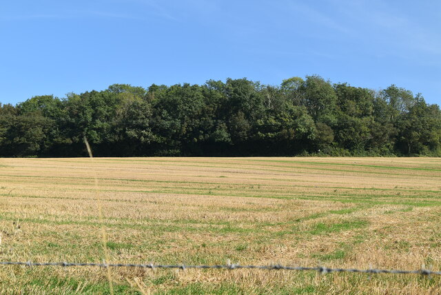
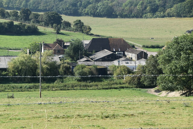
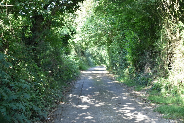
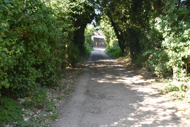
Derringstone Downs, located in Kent, England, is a picturesque area known for its expansive moorland and rolling hills. Spread over several square miles, this natural landscape offers visitors a tranquil escape from the hustle and bustle of city life.

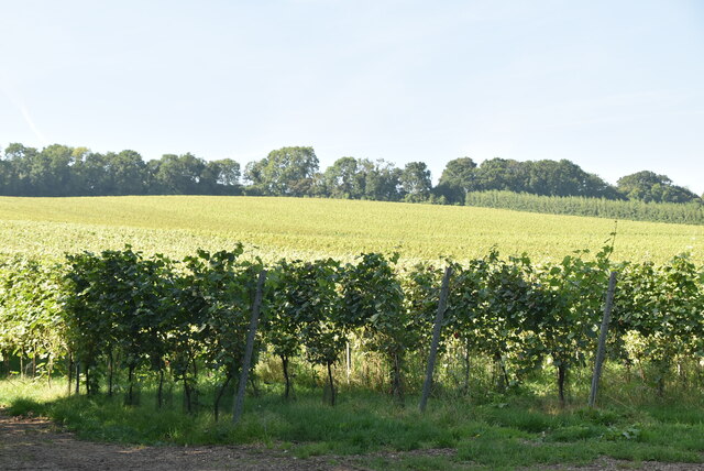
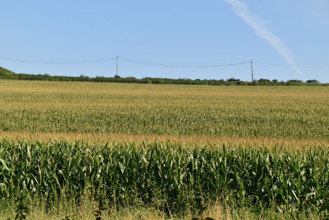
The downs are characterized by their unspoiled beauty, with vast open spaces covered in heather, gorse and wildflowers, creating a colorful tapestry that changes with the seasons. The undulating terrain provides stunning panoramic views of the surrounding countryside, making it a popular spot for hikers, nature enthusiasts, and photographers.

The downs are also home to a diverse array of wildlife, including rare bird species, such as skylarks and meadow pipits, as well as rabbits and foxes. Visitors may be lucky enough to spot these creatures in their natural habitat as they explore the area.

In addition to its natural wonders, Derringstone Downs also holds historical significance. The area is dotted with ancient burial mounds and archaeological remains, showcasing its rich past. These remnants provide a glimpse into the lives of early settlers who once called this area home.

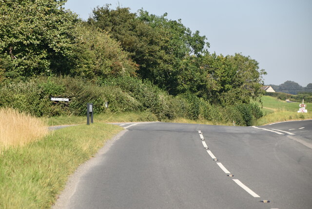
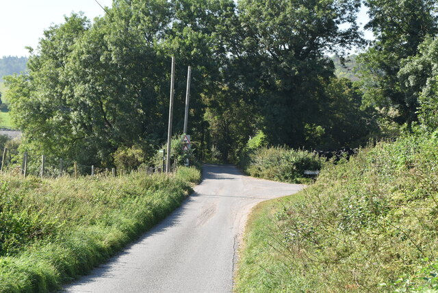
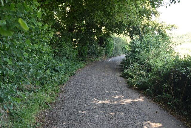
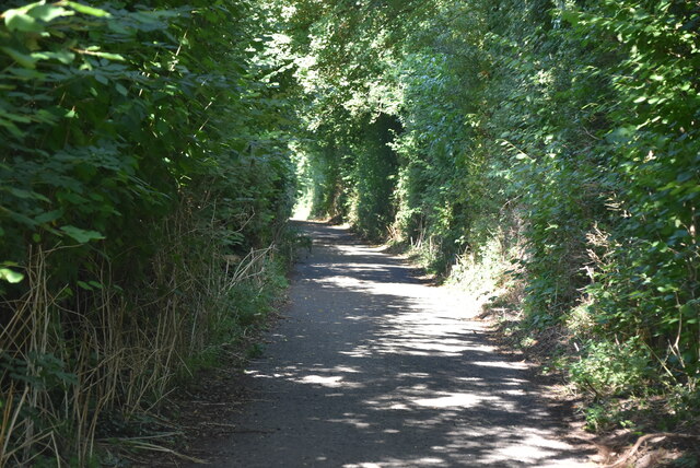
The downs are easily accessible, with well-maintained footpaths and trails crisscrossing the landscape, allowing visitors to explore at their own pace. Whether it's a leisurely stroll or a more challenging hike, Derringstone Downs offers something for everyone.

Overall, Derringstone Downs in Kent is a captivating destination that combines natural beauty, wildlife, and history. It provides a serene and idyllic retreat for those seeking a peaceful escape in the heart of the English countryside.

If you have any feedback on the listing, please let us know in the comments section below.

Derringstone Downs Images

Images are sourced within 2km of 51.197317/1.1609427 or Grid Reference TR2048. Thanks to Geograph Open Source API. All images are credited.

Elham Valley Rd
Elham Valley Rd
Roadside woodland
Roadside woodland
Elham Valley Rd
Elham Valley Rd
South Barham Farm
South Barham Farm
Breach Down
Breach Down
South Barham Farm
South Barham Farm
South Barham Farm
South Barham Farm
Elham Valley Rd
Elham Valley Rd
South Barham Hill
South Barham Hill
An old chalk pit
An old chalk pit
South Barham Rd
South Barham Rd
South Barham Rd
South Barham Rd
Farmland
Farmland
South Barham Rd
South Barham Rd
South Barham Road
South Barham Road
South Barham Rd
South Barham Rd
Show me another place!

Derringstone Downs is located at Grid Ref: TR2048 (Lat: 51.197317, Lng: 1.1609427)

Administrative County: Kent

District: Canterbury

Police Authority: Kent

What 3 Words

///breached.functions.riddle. Near Barham, Kent

Related Wikis

Heart's Delight, City of Canterbury

Heart's Delight is a settlement located near Barham in Kent, England. There is a similarly-known settlement near Sittingbourne in the Swale district of...

Barham railway station

Barham was a station on the Elham Valley Railway. It opened in 1887 and closed to passengers in 1940 and freight in 1947. == History == The station opened...

Barham, Kent

Barham is a village and civil parish in the City of Canterbury district of Kent, England. Barham village is approximately 6 miles (10 km) south-east from...
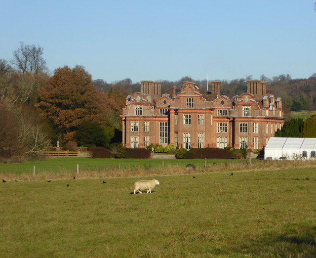
Broome Park

Broome Park is a country house in Barham, within the City of Canterbury, Kent, England. It was built for Basil Dixwell between 1635 and 1638. In the early...

Nearby Amenities

Located within 500m of 51.197317,1.1609427
Bus Stop
Mill Lane
Local Ref: opp
Naptan AtcoCode: 240099621
Naptan Bearing: N
Naptan BusStopType: MKD
Naptan CommonName: Mill Lane
Naptan Indicator: opp
Naptan Landmark: Mill Lane
Naptan NaptanCode: kntgpwgw
Naptan RevisionNumber: 2
Naptan Status: act
Naptan Street: Derringstone Hill
Naptan Verified: no
Public Transport: platform
Ref: kntgpwgw
Source: naptan_import
Source Date: 2018-06-26
Lat/Long: 51.1989439/1.1567162
Bus Stop
Mill Lane
Bus: yes
Local Ref: adj
Naptan AtcoCode: 240099623
Naptan Bearing: S
Naptan BusStopType: MKD
Naptan CommonName: Mill Lane
Naptan Indicator: adj
Naptan Landmark: Mill Lane
Naptan NaptanCode: kntgptjt
Naptan RevisionNumber: 2
Naptan Status: act
Naptan Street: Derringstone Hill
Naptan Verified: no
Public Transport: platform
Ref: kntgptjt
Source: naptan_import
Source Date: 2018-06-26
Lat/Long: 51.198992/1.1569342
Stablegate Antiques
Phone: +44 1227 831639
Shop: antiques
Lat/Long: 51.2001967/1.1570355
Place Of Worship
Barham Methodist Church
Denomination: methodist
Religion: christian
Wikidata: Q26369619
Lat/Long: 51.2005544/1.1569957
Post Box
Collection Times: Mo-Fr 09:00; Sa 07:00
Operator: Royal Mail
Operator Wikidata: Q638098
Post Box Mounting: metal_post
Post Box Type: lamp
Postal Code: CT4
Ref: CT4 284
Royal Cypher: EIIR
Source: survey
Lat/Long: 51.1987675/1.1568642
Power: pole
Lat/Long: 51.1949347/1.156191
Power: pole
Lat/Long: 51.2014895/1.1609693
Power: pole
Lat/Long: 51.1966706/1.1594673
Power: pole
Lat/Long: 51.2013359/1.1586316
Power: pole
Lat/Long: 51.2015874/1.1625981
Power: pole
Lat/Long: 51.1974925/1.1602705
Power: pole
Lat/Long: 51.2006582/1.1612786
Power: pole
Lat/Long: 51.1960953/1.1583998
Power: pole
Lat/Long: 51.1983161/1.1610761
Power: pole
Lat/Long: 51.1998316/1.1616252
Power: pole
Lat/Long: 51.1955156/1.157296
Power: pole
Lat/Long: 51.1945729/1.1555045
Power: pole
Lat/Long: 51.1970282/1.1574288
Power: pole
Lat/Long: 51.1991475/1.1618944
Generator Method: photovoltaic
Generator Orientation: 106
Generator Output Electricity: yes
Generator Solar Modules: 6
Generator Source: solar
Generator Type: solar_photovoltaic_panel
Location: roof
Power: generator
Lat/Long: 51.1997178/1.1572673
Generator Method: photovoltaic
Generator Orientation: 118
Generator Output Electricity: yes
Generator Solar Modules: 14
Generator Source: solar
Generator Type: solar_photovoltaic_panel
Location: roof
Power: generator
Lat/Long: 51.200257/1.1573544
Generator Method: photovoltaic
Generator Orientation: 100
Generator Output Electricity: yes
Generator Source: solar
Generator Type: solar_photovoltaic_panel
Location: roof
Power: generator
Lat/Long: 51.1991763/1.1572069
Generator Method: photovoltaic
Generator Orientation: 228
Generator Output Electricity: yes
Generator Solar Modules: 8
Generator Source: solar
Generator Type: solar_photovoltaic_panel
Location: roof
Power: generator
Lat/Long: 51.1990704/1.1603639
Generator Method: photovoltaic
Generator Orientation: 181
Generator Output Electricity: yes
Generator Solar Modules: 5
Generator Source: solar
Generator Type: solar_photovoltaic_panel
Location: roof
Power: generator
Lat/Long: 51.1989091/1.1564559
Generator Method: photovoltaic
Generator Orientation: 138
Generator Output Electricity: yes
Generator Solar Modules: 3
Generator Source: solar
Generator Type: solar_photovoltaic_panel
Location: roof
Power: generator
Lat/Long: 51.1990733/1.1604463
The data included in this document is from www.openstreetmap.org. The data is made available under ODbL.

Have you been to Derringstone Downs?

Leave your review of Derringstone Downs below (or comments, questions and feedback).