Barham Downs

Downs, Moorland in Kent Canterbury

England

Barham Downs

Barham Village Store Barham is a village in the Elham Valley about 6 miles SE of Canterbury.
Wikipedia: <span class="nowrap"><a title="https://en.wikipedia.org/wiki/Barham,_Kent" rel="nofollow ugc noopener" href="https://en.wikipedia.org/wiki/Barham,_Kent">Link</a><img style="margin-left:2px;" alt="External link" title="External link - shift click to open in new window" src="https://s1.geograph.org.uk/img/external.png" width="10" height="10"/></span>
Barham Village Store Credit: N Chadwick

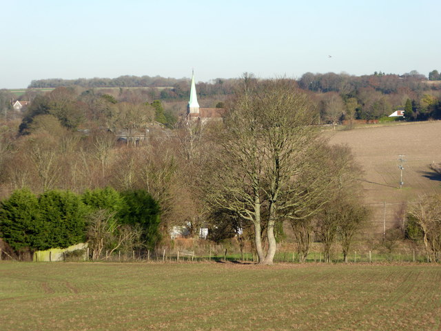
Barham Downs, located in Kent, England, is a picturesque area that encompasses a vast expanse of rolling hills, moorland, and open countryside. Situated just south of Canterbury, it is part of the larger Kent Downs Area of Outstanding Natural Beauty (AONB).

The landscape of Barham Downs is characterized by its undulating hills, which offer stunning panoramic views of the surrounding countryside. The area is primarily composed of chalk grassland, a rare and valuable habitat that is home to a diverse range of flora and fauna. Visitors to Barham Downs can expect to encounter an array of wildflowers, including orchids, cowslips, and wild thyme, as well as a variety of butterflies and birds.

The downs are intersected by numerous footpaths and bridleways, making it an ideal destination for walkers, cyclists, and horse riders. The famous North Downs Way, a long-distance footpath that stretches for over 150 miles, traverses through Barham Downs, offering visitors the opportunity to explore the area's natural beauty at their own pace.

In addition to its natural attractions, Barham Downs also boasts a rich historical heritage. The area is dotted with ancient archaeological sites, including Iron Age hillforts and burial mounds, providing a glimpse into the region's past.

Overall, Barham Downs, with its stunning landscapes, diverse wildlife, and historical significance, offers a tranquil and immersive experience for nature enthusiasts and history buffs alike.

If you have any feedback on the listing, please let us know in the comments section below.
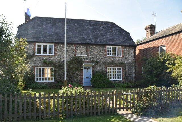
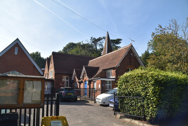
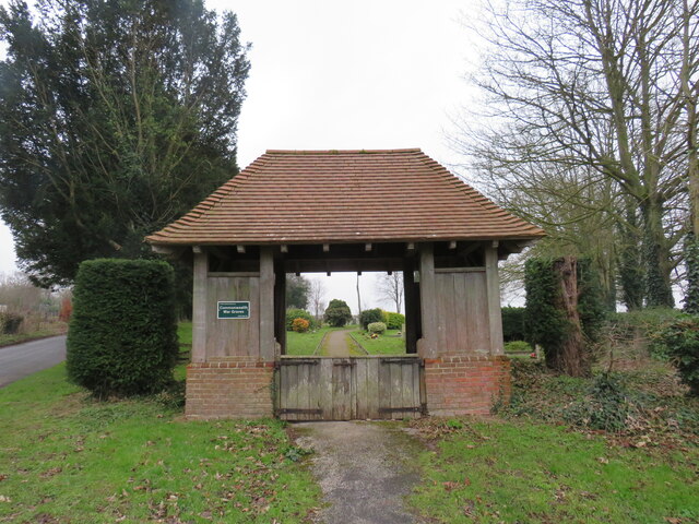
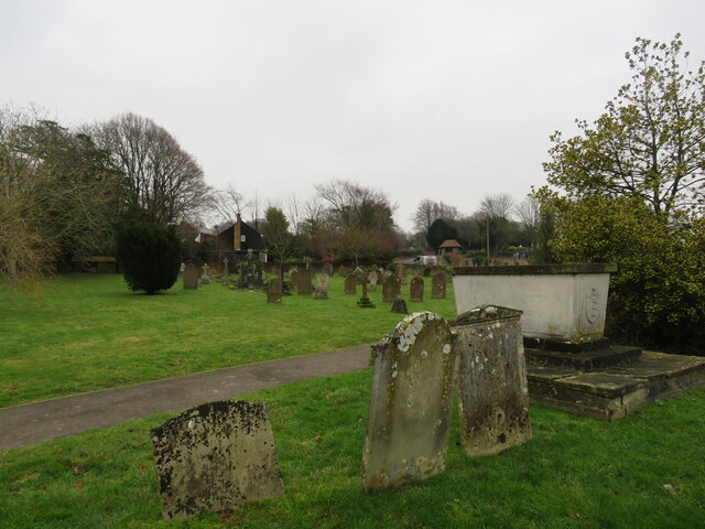
Barham Downs Images

Images are sourced within 2km of 51.221069/1.1593908 or Grid Reference TR2051. Thanks to Geograph Open Source API. All images are credited.
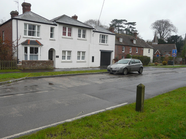
Barham Village Store Barham is a village in the Elham Valley about 6 miles SE of Canterbury.
Wikipedia: <span class="nowrap"><a title="https://en.wikipedia.org/wiki/Barham,_Kent" rel="nofollow ugc noopener" href="https://en.wikipedia.org/wiki/Barham,_Kent">Link</a><img style="margin-left:2px;" alt="External link" title="External link - shift click to open in new window" src="https://s1.geograph.org.uk/img/external.png" width="10" height="10"/></span>
Barham Village Store
Barham is a village in the Elham Valley about 6 miles SE of Canterbury. Wikipedia: LinkExternal link
Barham Village Hall A village hall is usually a building within a village which contains at least one large room, usually owned by and run for the benefit of the local community. Such a hall is typically used for a variety of public and private events, such as parish council meetings, sports club functions, local drama productions, dances, jumble sales and private parties. Village halls sometimes have charitable status. They are occasionally called the village institute rather than village hall or community centres.
Barham Village Hall
A village hall is usually a building within a village which contains at least one large room, usually owned by and run for the benefit of the local community. Such a hall is typically used for a variety of public and private events, such as parish council meetings, sports club functions, local drama productions, dances, jumble sales and private parties. Village halls sometimes have charitable status. They are occasionally called the village institute rather than village hall or community centres.
Valley Rd
Valley Rd
Portland House Barham is a village in the Elham Valley about 6 miles SE of Canterbury.
Wikipedia: <span class="nowrap"><a title="https://en.wikipedia.org/wiki/Barham,_Kent" rel="nofollow ugc noopener" href="https://en.wikipedia.org/wiki/Barham,_Kent">Link</a><img style="margin-left:2px;" alt="External link" title="External link - shift click to open in new window" src="https://s1.geograph.org.uk/img/external.png" width="10" height="10"/></span>
Portland House
Barham is a village in the Elham Valley about 6 miles SE of Canterbury. Wikipedia: LinkExternal link
Flint Cottage Barham is a village in the Elham Valley about 6 miles SE of Canterbury.
Wikipedia: <span class="nowrap"><a title="https://en.wikipedia.org/wiki/Barham,_Kent" rel="nofollow ugc noopener" href="https://en.wikipedia.org/wiki/Barham,_Kent">Link</a><img style="margin-left:2px;" alt="External link" title="External link - shift click to open in new window" src="https://s1.geograph.org.uk/img/external.png" width="10" height="10"/></span>
Flint Cottage
Barham is a village in the Elham Valley about 6 miles SE of Canterbury. Wikipedia: LinkExternal link
Barham Primary School Barham is a village in the Elham Valley about 6 miles SE of Canterbury.
Wikipedia: <span class="nowrap"><a title="https://en.wikipedia.org/wiki/Barham,_Kent" rel="nofollow ugc noopener" href="https://en.wikipedia.org/wiki/Barham,_Kent">Link</a><img style="margin-left:2px;" alt="External link" title="External link - shift click to open in new window" src="https://s1.geograph.org.uk/img/external.png" width="10" height="10"/></span>
Barham Primary School
Barham is a village in the Elham Valley about 6 miles SE of Canterbury. Wikipedia: LinkExternal link
Lychgate to Graveyard, Barham
Graveyard, St John the Baptist's church, Barham
Alterations to Barham Village Hall, Valley Road Planning permission has been granted by Canterbury City Council under application number CA//12/00752 for the “erection of single-storey extension to existing village hall to accommodate shop, post office and additional community facilities within the building, following removal of existing temporary village shop, post office and store shed”. David Anstiss’ <a href="https://www.geograph.org.uk/photo/1778119">TR2049 : Barham Village Hall</a> shows the site as it was in 2010.
Alterations to Barham Village Hall, Valley Road
Planning permission has been granted by Canterbury City Council under application number CA//12/00752 for the “erection of single-storey extension to existing village hall to accommodate shop, post office and additional community facilities within the building, following removal of existing temporary village shop, post office and store shed”. David Anstiss’ TR2049 : Barham Village Hall shows the site as it was in 2010.
The former Post Office, Valley Road Compared with <a href="https://www.geograph.org.uk/photo/4116938">TR2049 : Progress of the alterations to the Old Post Office, Valley Road</a>, all building work appears to have been completed. A post office has been incorporated into <a href="https://www.geograph.org.uk/photo/4629513">TR2049 : Alterations to Barham Village Hall, Valley Road</a>; it remains to be seen whether or not the original building becomes known as The Old Post Office.
The former Post Office, Valley Road
Compared with TR2049 : Progress of the alterations to the Old Post Office, Valley Road, all building work appears to have been completed. A post office has been incorporated into TR2049 : Alterations to Barham Village Hall, Valley Road; it remains to be seen whether or not the original building becomes known as The Old Post Office.
The former Post Office, Valley Road Compared with <a href="https://www.geograph.org.uk/photo/4014827">TR2049 : Alterations to The Old Post Office, Valley Road</a>, all building work appears to have been completed. A post office has been incorporated into <a href="https://www.geograph.org.uk/photo/4629513">TR2049 : Alterations to Barham Village Hall, Valley Road</a>; it remains to be seen whether or not the original building becomes known as The Old Post Office.
The former Post Office, Valley Road
Compared with TR2049 : Alterations to The Old Post Office, Valley Road, all building work appears to have been completed. A post office has been incorporated into TR2049 : Alterations to Barham Village Hall, Valley Road; it remains to be seen whether or not the original building becomes known as The Old Post Office.
Path between houses, Barham A footpath down from The Street to houses near Valley Road.
Path between houses, Barham
A footpath down from The Street to houses near Valley Road.
Barham’s combined shop, post office and village hall Compared with <a href="https://www.geograph.org.uk/photo/4629513">TR2049 : Alterations to Barham Village Hall, Valley Road</a>, the alterations to the building have been completed.
Barham’s combined shop, post office and village hall
Compared with TR2049 : Alterations to Barham Village Hall, Valley Road, the alterations to the building have been completed.
The Old Post Office, Valley Road Compared with <a href="https://www.geograph.org.uk/photo/4629532">TR2049 : The former Post Office, Valley Road</a>, the services of this building have been transferred to <a href="https://www.geograph.org.uk/photo/4773066">TR2049 : Barham’s combined shop, post office and village hall</a>. The former mail box has been painted black and the mouth for post sealed.
The Old Post Office, Valley Road
Compared with TR2049 : The former Post Office, Valley Road, the services of this building have been transferred to TR2049 : Barham’s combined shop, post office and village hall. The former mail box has been painted black and the mouth for post sealed.
The Street near St John the Baptist's Church in Barham Looking north-westward.
[The name of the road is apparently 'The St'. I have checked both Google maps and a local business address and this seems to confirm this. Anyone living locally know better?]
The Street near St John the Baptist's Church in Barham
Looking north-westward. [The name of the road is apparently 'The St'. I have checked both Google maps and a local business address and this seems to confirm this. Anyone living locally know better?]
View from Mill Lane, Barham In the distance is the church of St. John the Baptist.
View from Mill Lane, Barham
In the distance is the church of St. John the Baptist.
Roadworks, A260 They were due to start on 7 January 2019 and to last for three weeks.
Roadworks, A260
They were due to start on 7 January 2019 and to last for three weeks.
Roadworks, A260 They were due to start on 7 January 2019 and to last for three weeks. 

This image of the <a href="https://www.geograph.org.uk/photo/6021313">TR2149 : Roadworks, A260</a> is just before you reach the junction, where the B6646 takes you to Wingham.
Roadworks, A260
They were due to start on 7 January 2019 and to last for three weeks. This image of the TR2149 : Roadworks, A260 is just before you reach the junction, where the B6646 takes you to Wingham.
Show me another place!

Barham Downs is located at Grid Ref: TR2051 (Lat: 51.221069, Lng: 1.1593908)

Administrative County: Kent

District: Canterbury

Police Authority: Kent

What 3 Words

///captions.options.thankful. Near Barham, Kent

Nearby Locations

Kingston Barham Downs

Related Wikis

Kingston, Kent

Kingston is a village and civil parish between Canterbury and Dover in Kent, South East England. The parish contains the hamlet of Marley. == History... ==

Black Mill, Barham

Black Mill or Barham Downs Mill was a smock mill at Barham, Kent, England which was accidentally burnt down in 1970 while under restoration. == History... ==

Ileden and Oxenden Woods

Ileden and Oxenden Woods is an 86.4-hectare (213-acre) biological Site of Special Scientific Interest (SSSI) south-east of Canterbury in Kent. It is in...

Barham, Kent

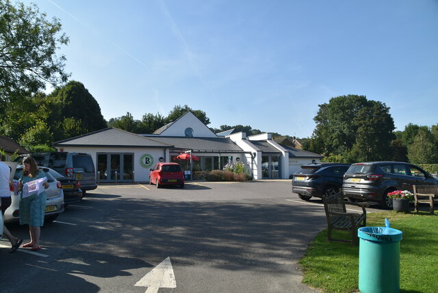
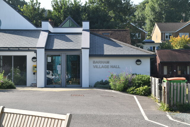
Barham is a village and civil parish in the City of Canterbury district of Kent, England. Barham village is approximately 6 miles (10 km) south-east from...

Nearby Amenities

Located within 500m of 51.221069,1.1593908
Realli-ski
Business: ski
Postal Code: CT4 6HJ
Source Postal Code: http://www.realli-ski.co.uk/
Website: http://www.realli-ski.co.uk/
Lat/Long: 51.2169873/1.160987
Showan Hydraulics
Addr Postcode: CT4 6HJ
Business: hydraulics
Phone: +44 1227 832000
Source Addr Postcode: http://www.showan.com/
Source Phone: http://www.showan.com/
Website: http://www.showan.com/
Lat/Long: 51.2170357/1.1611045
Bus Stop
Out Elmstead Lane East
Bus: yes
Naptan AtcoCode: 240096987
Naptan Bearing: NW
Naptan CommonName: Out Elmstead Lane East
Naptan Indicator: adj
Naptan Landmark: Out Elmstead Lane
Naptan NaptanCode: kntgjwgd
Naptan ShortCommonName: Out Elmstead Lane
Naptan Street: Dover Road
Naptan Verified: no
Note: I think NAPTAN might be wrong here, it makes more sence for this to be West
Official Name: Out Elmstead Lane East
Public Transport: platform
Ref: kntgjwgd
Shelter: no
Short Name: Out Elmstead Lane
Source: naptan_import
Source Date: 2018-08-20T12:11:00
Lat/Long: 51.2178691/1.1600453
Bus Stop
Kingston Turning
Naptan AtcoCode: 240096989
Naptan Bearing: SE
Naptan CommonName: Kingston Turning
Naptan Indicator: opp
Naptan Landmark: Kingston Turning
Naptan NaptanCode: kntgjwgj
Naptan Street: Dover Road
Naptan Verified: yes
Public Transport: platform
Ref: kntgjwgj
Shelter: no
Source: naptan_import
Source Date: 2014-01-30T16:03:00
Lat/Long: 51.2220318/1.1547872
Bus Stop
Kingston Turning
Naptan AtcoCode: 2400A043410A
Naptan Bearing: NW
Naptan CommonName: Kingston Turning
Naptan Indicator: adj
Naptan Landmark: Kingston Turning
Naptan NaptanCode: kntdtpja
Naptan Street: Dover Road
Naptan Verified: no
Public Transport: platform
Ref: kntdtpja
Source: naptan_import
Source Date: 2018-08-20T12:14:00
Lat/Long: 51.2217093/1.1547365
Bus Stop
Out Elmstead Lane East
Bench: no
Bin: yes
Bus: yes
Naptan AtcoCode: 2400A043420A
Naptan Bearing: SE
Naptan CommonName: Out Elmstead Lane East
Naptan Indicator: opp
Naptan Landmark: Barham Downs
Naptan NaptanCode: kntdtpjd
Naptan ShortCommonName: Out Elmstead Lane
Naptan Street: Dover Road
Naptan Verified: no
Public Transport: platform
Shelter: no
Short Name: Out Elmstead Lane
Source: naptan_import
Source Date: 2018-08-20T12:12:00
Lat/Long: 51.2171809/1.1615449
Barrier: stile
Lat/Long: 51.2177415/1.1612459
Bench
Survey Date: 2023-06-10
Lat/Long: 51.2207978/1.1619599
Stop
Direction: forward
Stop: minor
Lat/Long: 51.2201705/1.1569104
Give Way
Direction: forward
Lat/Long: 51.2171681/1.1611496
The data included in this document is from www.openstreetmap.org. The data is made available under ODbL.

Have you been to Barham Downs?

Leave your review of Barham Downs below (or comments, questions and feedback).