Deer Downs

Downs, Moorland in Kent Canterbury

England

Deer Downs

Pastureland
Pastureland Credit: N Chadwick

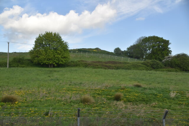
Deer Downs, located in Kent, England, is a picturesque area known for its stunning natural beauty and diverse wildlife. Situated in the heart of the county, it forms part of the larger region known as the Kent Downs, which encompasses rolling hills, extensive woodlands, and open moorlands.

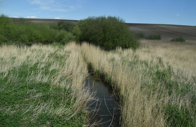
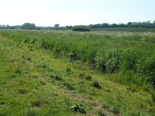
The area is renowned for its rich biodiversity, offering a sanctuary for a wide range of plant and animal species. Its diverse habitat includes ancient woodlands, heathlands, and open grasslands, providing a perfect environment for flora and fauna to flourish. The woodlands are particularly notable, housing a variety of tree species, including oak, beech, and ash.

Deer Downs is home to a thriving population of deer, including the majestic red deer and the smaller but equally enchanting roe deer. These graceful creatures can often be spotted grazing in the open meadows or wandering through the woodlands, adding to the area's natural allure.

The Downs also offer a haven for avid birdwatchers, as a plethora of bird species can be observed here throughout the year. From colorful songbirds to raptors soaring in the skies, the area provides an excellent opportunity to witness the beauty of avian life.

In addition to its natural wonders, Deer Downs is a popular destination for outdoor enthusiasts. The network of trails and footpaths allows visitors to explore the area on foot, offering breathtaking views and a chance to immerse oneself in the tranquility of nature.

Overall, Deer Downs in Kent is a captivating landscape that captivates visitors with its diverse wildlife, stunning scenery, and peaceful ambiance.

If you have any feedback on the listing, please let us know in the comments section below.
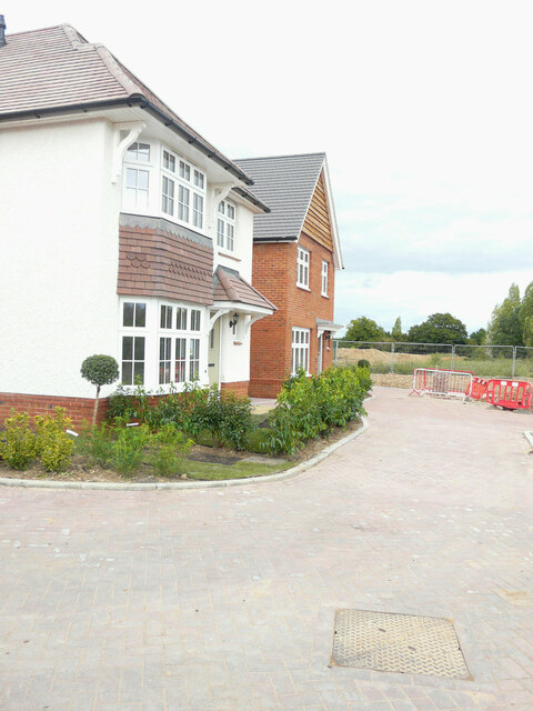
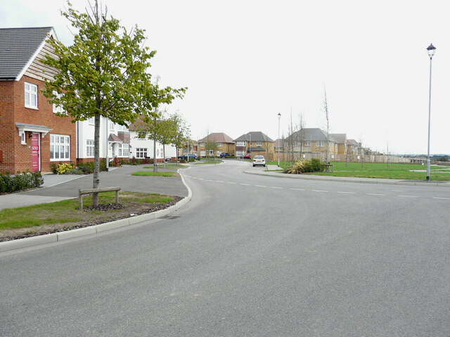
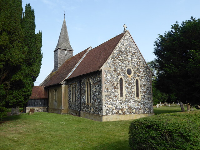
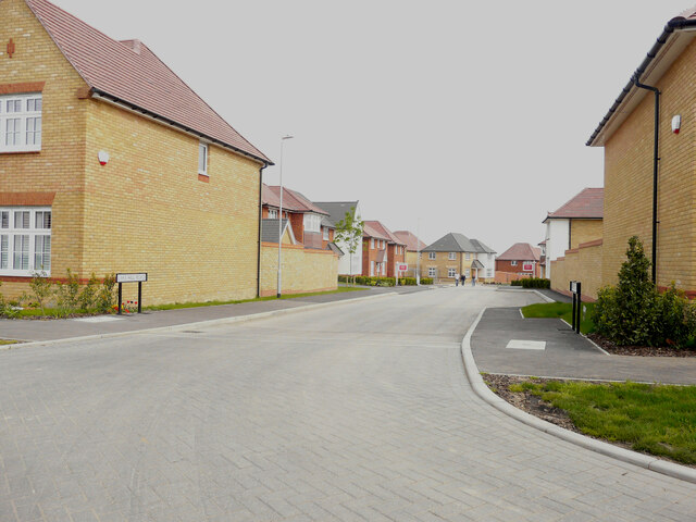
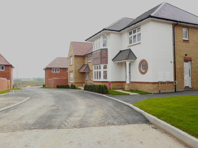
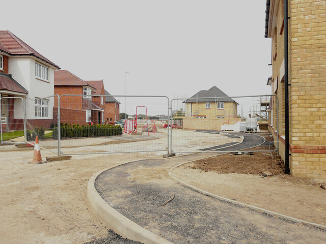
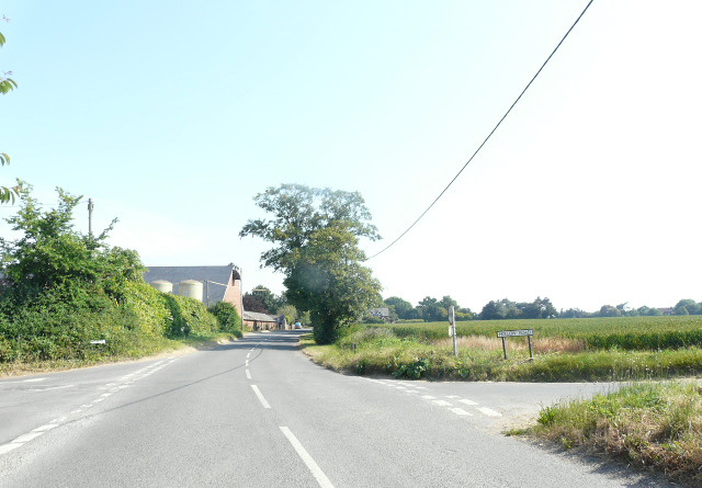
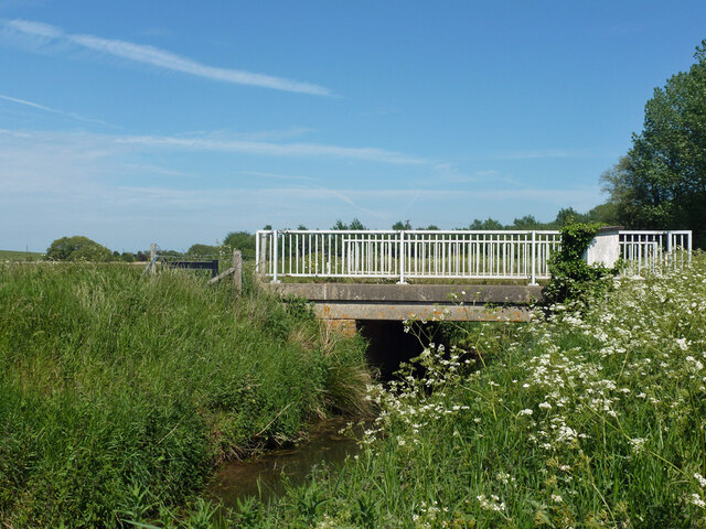
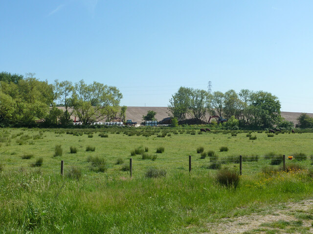
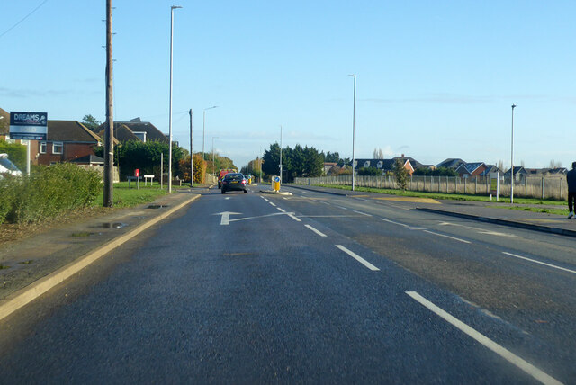
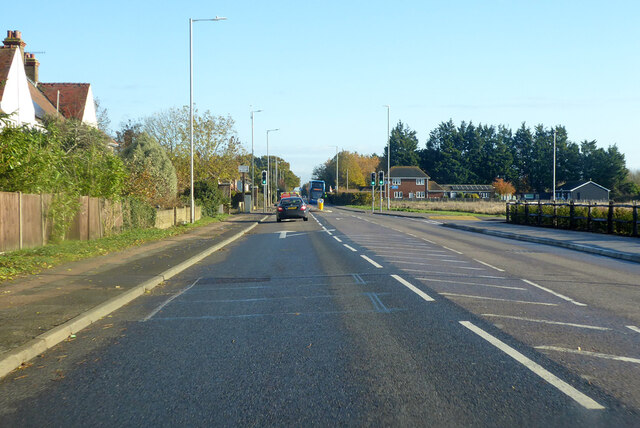
Deer Downs Images

Images are sourced within 2km of 51.325172/1.1694593 or Grid Reference TR2063. Thanks to Geograph Open Source API. All images are credited.

Pastureland
Pastureland
Drainage channel
Drainage channel
Black Horse Lane Part of a housing estate called The Hoplands for which planning permission has been granted by Canterbury City Council under application number CA//16/00404. 

An  “outline planning application for a neighbourhood extension for the creation of up to 250 houses including affordable housing, neighbourhood centre (comprising Class A1 food store (400sq.m), Class D1 medical centre (380sq.m), Class D1 dentist (150sq.m), Class A1 pharmacy (150sq.m), Class D1 nursery (120sq.m) and Class A1 convenience retail (360sq.m)), commercial estate (comprising Class B1 business floorspace (up to 5572sq.m), Class D1 apprenticeship centre (616sq.m) and Class D1/D2 community building (up to 672sq.m)), parish parkland and associated access, parking, amenity space and landscaping”.
Black Horse Lane
Part of a housing estate called The Hoplands for which planning permission has been granted by Canterbury City Council under application number CA//16/00404. An “outline planning application for a neighbourhood extension for the creation of up to 250 houses including affordable housing, neighbourhood centre (comprising Class A1 food store (400sq.m), Class D1 medical centre (380sq.m), Class D1 dentist (150sq.m), Class A1 pharmacy (150sq.m), Class D1 nursery (120sq.m) and Class A1 convenience retail (360sq.m)), commercial estate (comprising Class B1 business floorspace (up to 5572sq.m), Class D1 apprenticeship centre (616sq.m) and Class D1/D2 community building (up to 672sq.m)), parish parkland and associated access, parking, amenity space and landscaping”.
Black Horse Lane Part of a housing estate called The Hoplands for which planning permission has been granted by Canterbury City Council under application number CA//16/00404. An  “outline planning application for a neighbourhood extension for the creation of up to 250 houses including affordable housing, neighbourhood centre (comprising Class A1 food store (400sq.m), Class D1 medical centre (380sq.m), Class D1 dentist (150sq.m), Class A1 pharmacy (150sq.m), Class D1 nursery (120sq.m) and Class A1 convenience retail (360sq.m)), commercial estate (comprising Class B1 business floorspace (up to 5572sq.m), Class D1 apprenticeship centre (616sq.m) and Class D1/D2 community building (up to 672sq.m)), parish parkland and associated access, parking, amenity space and landscaping”.

The road is one of the furthest parts of this length of <a href="https://www.geograph.org.uk/photo/7309735">TR2061 : Black Horse Lane</a>.
Black Horse Lane
Part of a housing estate called The Hoplands for which planning permission has been granted by Canterbury City Council under application number CA//16/00404. An “outline planning application for a neighbourhood extension for the creation of up to 250 houses including affordable housing, neighbourhood centre (comprising Class A1 food store (400sq.m), Class D1 medical centre (380sq.m), Class D1 dentist (150sq.m), Class A1 pharmacy (150sq.m), Class D1 nursery (120sq.m) and Class A1 convenience retail (360sq.m)), commercial estate (comprising Class B1 business floorspace (up to 5572sq.m), Class D1 apprenticeship centre (616sq.m) and Class D1/D2 community building (up to 672sq.m)), parish parkland and associated access, parking, amenity space and landscaping”. The road is one of the furthest parts of this length of TR2061 : Black Horse Lane.
Longwall Lane Part of a housing estate called The Hoplands for which planning permission has been granted by Canterbury City Council under application number CA//16/00404. An  “outline planning application for a neighbourhood extension for the creation of up to 250 houses including affordable housing, neighbourhood centre (comprising Class A1 food store (400sq.m), Class D1 medical centre (380sq.m), Class D1 dentist (150sq.m), Class A1 pharmacy (150sq.m), Class D1 nursery (120sq.m) and Class A1 convenience retail (360sq.m)), commercial estate (comprising Class B1 business floorspace (up to 5572sq.m), Class D1 apprenticeship centre (616sq.m) and Class D1/D2 community building (up to 672sq.m)), parish parkland and associated access, parking, amenity space and landscaping”.

A similar view of <a href="https://www.geograph.org.uk/photo/6935546">TR2061 : Longwall Lane</a> was taken in July 2021.
Longwall Lane
Part of a housing estate called The Hoplands for which planning permission has been granted by Canterbury City Council under application number CA//16/00404. An “outline planning application for a neighbourhood extension for the creation of up to 250 houses including affordable housing, neighbourhood centre (comprising Class A1 food store (400sq.m), Class D1 medical centre (380sq.m), Class D1 dentist (150sq.m), Class A1 pharmacy (150sq.m), Class D1 nursery (120sq.m) and Class A1 convenience retail (360sq.m)), commercial estate (comprising Class B1 business floorspace (up to 5572sq.m), Class D1 apprenticeship centre (616sq.m) and Class D1/D2 community building (up to 672sq.m)), parish parkland and associated access, parking, amenity space and landscaping”. A similar view of TR2061 : Longwall Lane was taken in July 2021.
Hoath, Holy Cross
Hoath, Holy Cross
Lakehill Road Part of a housing estate called The Hoplands for which planning permission has been granted by Canterbury City Council under application number CA//16/00404.
Lakehill Road
Part of a housing estate called The Hoplands for which planning permission has been granted by Canterbury City Council under application number CA//16/00404.
Unnamed Road Part of a housing estate called The Hoplands for which planning permission has been granted by Canterbury City Council under application number CA//16/00404.
Unnamed Road
Part of a housing estate called The Hoplands for which planning permission has been granted by Canterbury City Council under application number CA//16/00404.
Chislet Court Farm Viewed from Church Lane near to the junction with Hollow Road.
Chislet Court Farm
Viewed from Church Lane near to the junction with Hollow Road.
Nethergong Penn A rather overgrown but important drainage channel.
Nethergong Penn
A rather overgrown but important drainage channel.
Bridge over Nethergong Penn The road crossing is Nethergong Hill, at least to the right. It becomes Sandpit Hill somewhere to the left.
Bridge over Nethergong Penn
The road crossing is Nethergong Hill, at least to the right. It becomes Sandpit Hill somewhere to the left.
Bagged firewood site near Nethergong Farm A deduction from the stacks of timber and a great many white bags.
Bagged firewood site near Nethergong Farm
A deduction from the stacks of timber and a great many white bags.
A28 Island Road, Hersden Towards Margate.
A28 Island Road, Hersden
Towards Margate.
A28 Island Road, Hersden Towards Margate.
A28 Island Road, Hersden
Towards Margate.
Roundabout on A28 Serving industrial parks off to the right.
Roundabout on A28
Serving industrial parks off to the right.
A28, Upstreet Towards Margate.
A28, Upstreet
Towards Margate.
Show me another place!

Deer Downs is located at Grid Ref: TR2063 (Lat: 51.325172, Lng: 1.1694593)

Administrative County: Kent

District: Canterbury

Police Authority: Kent

What 3 Words

///helpfully.petty.continues. Near Sturry, Kent

Nearby Locations

Deer Downs

Related Wikis

Hoath

Hoath is a semi-rural village and civil parish in the City of Canterbury local government district. The hamlets of Knaves Ash, Maypole, Ford, Old Tree...

Hersden

Hersden is a village east of Canterbury in Kent, South East England. It was established as a planned coalmining village in the 1920s and is on the A28...

Chislet Colliery Halt railway station

Chislet Colliery Halt was a minor station on the Ashford to Ramsgate line. It opened in September 1919 and closed in 1971. == History == Chislet Colliery...

Maypole Airfield

Maypole Airfield (ICAO: EGHB) was a general aviation airfield located 2.5 miles (4.0 km) south of Herne Bay, Kent and 5.2 miles (8.4 km) north east of...

Nearby Amenities

Located within 500m of 51.325172,1.1694593
Barrier: swing_gate
Bicycle: no
Foot: yes
Horse: yes
Motorcar: yes
Motorcycle: yes
Source: survey
Lat/Long: 51.3231182/1.168083
Barrier: chain
Bicycle: yes
Foot: yes
Lat/Long: 51.3274261/1.1707766
SH FID 21
Power: tower
Lat/Long: 51.3248146/1.1659491
SH FID 22
Power: tower
Lat/Long: 51.3251473/1.1709872
The data included in this document is from www.openstreetmap.org. The data is made available under ODbL.

Have you been to Deer Downs?

Leave your review of Deer Downs below (or comments, questions and feedback).