Hempsted
Settlement in Gloucestershire Gloucester
England
Hempsted
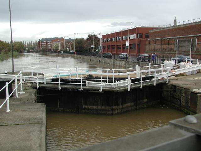
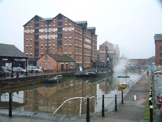
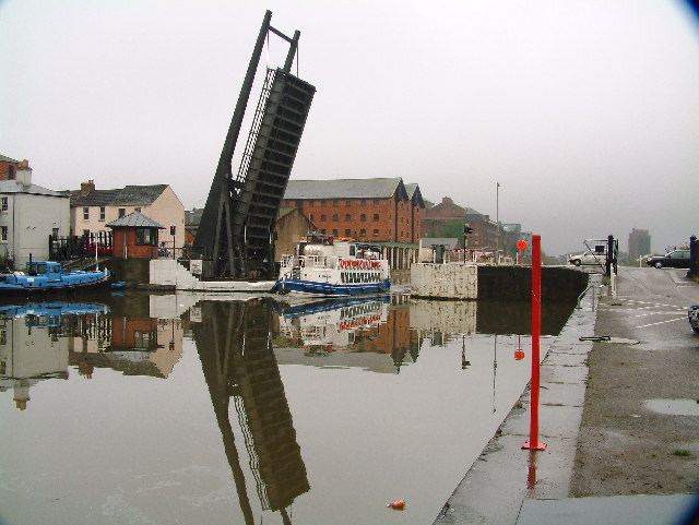
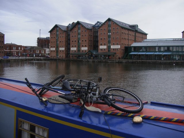
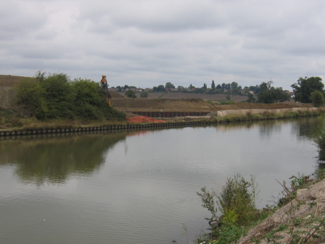
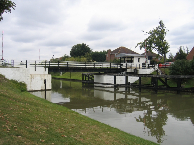
Hempsted is a small village located in the county of Gloucestershire, England. Situated on the outskirts of the city of Gloucester, Hempsted enjoys a picturesque rural setting while being conveniently close to urban amenities. The village lies on the banks of the River Severn, offering residents and visitors scenic views and access to water-based activities.
Hempsted is primarily a residential area, characterized by a mix of traditional and modern houses. The village has a tight-knit community, fostering a friendly and welcoming atmosphere. Local amenities include a village hall, a primary school, a pub, and a few shops, providing basic services to the residents.
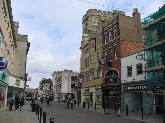
The village benefits from its proximity to Gloucester, which is less than two miles away. This allows residents to easily access a wider range of amenities, including shopping centers, restaurants, and cultural attractions. Gloucester also offers excellent transport links, with a train station and major road networks nearby, making commuting to neighboring towns and cities convenient.
Nature enthusiasts will appreciate the beautiful surrounding countryside, with numerous walking and cycling trails to explore. The nearby rural areas provide opportunities for outdoor activities such as fishing and birdwatching. Additionally, Hempsted is within reach of the Forest of Dean, a popular destination for nature lovers and adventure seekers.
In summary, Hempsted is a charming village in Gloucestershire that strikes a balance between rural tranquility and urban convenience. With its idyllic location, friendly community, and access to a range of amenities, Hempsted offers an appealing lifestyle for its residents.
If you have any feedback on the listing, please let us know in the comments section below.
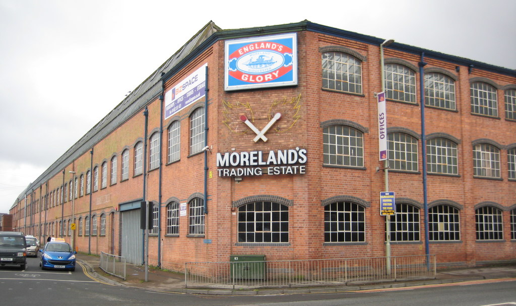
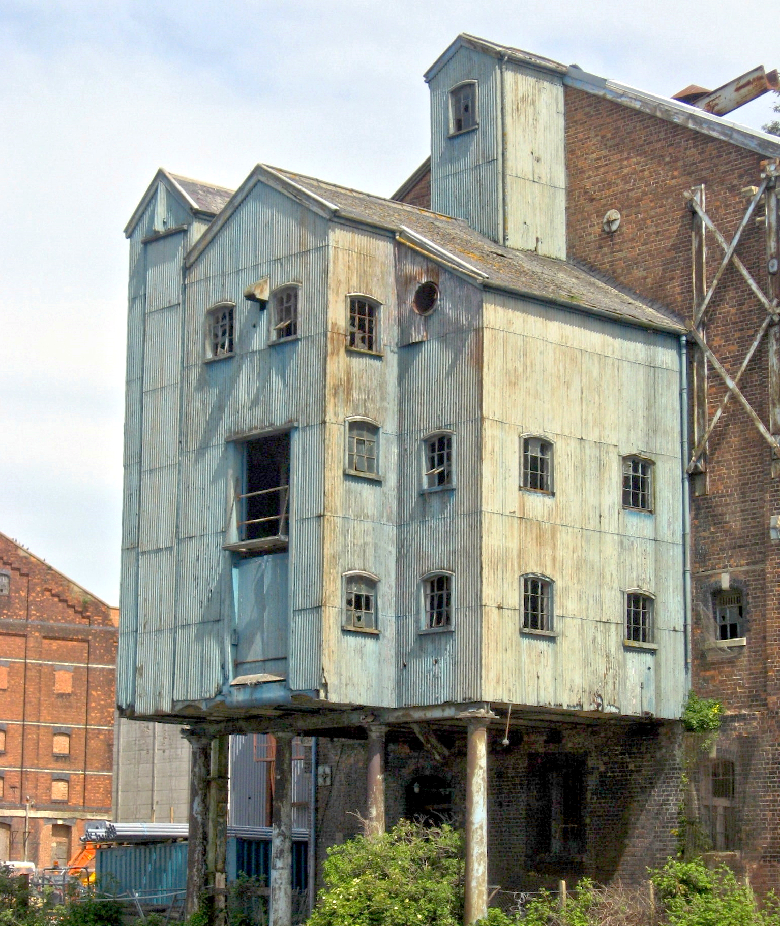
Hempsted Images
Images are sourced within 2km of 51.851612/-2.26493 or Grid Reference SO8117. Thanks to Geograph Open Source API. All images are credited.

Hempsted is located at Grid Ref: SO8117 (Lat: 51.851612, Lng: -2.26493)
Administrative County: Gloucestershire
District: Gloucester
Police Authority: Gloucestershire
What 3 Words
///face.exams.heats. Near Gloucester, Gloucestershire
Nearby Locations
Related Wikis
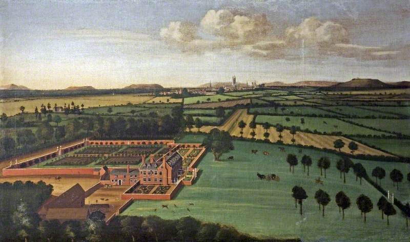
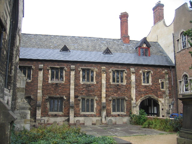
Hempsted Court
Hempsted Court was a country house at Hempsted near Gloucester in England. It was the home of the Lysons family. It was demolished in 1962 and replaced...
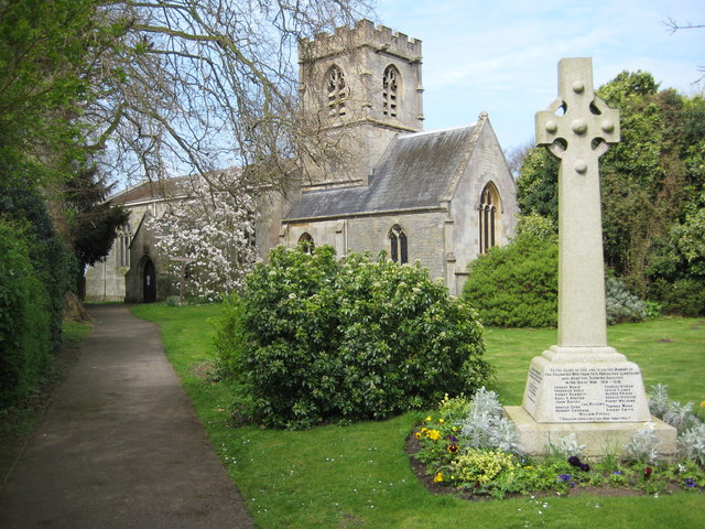
Hempsted
Hempsted is a suburban village and former civil parish, on the edge of Gloucester in the county of Gloucestershire, England. The parish was abolished in...
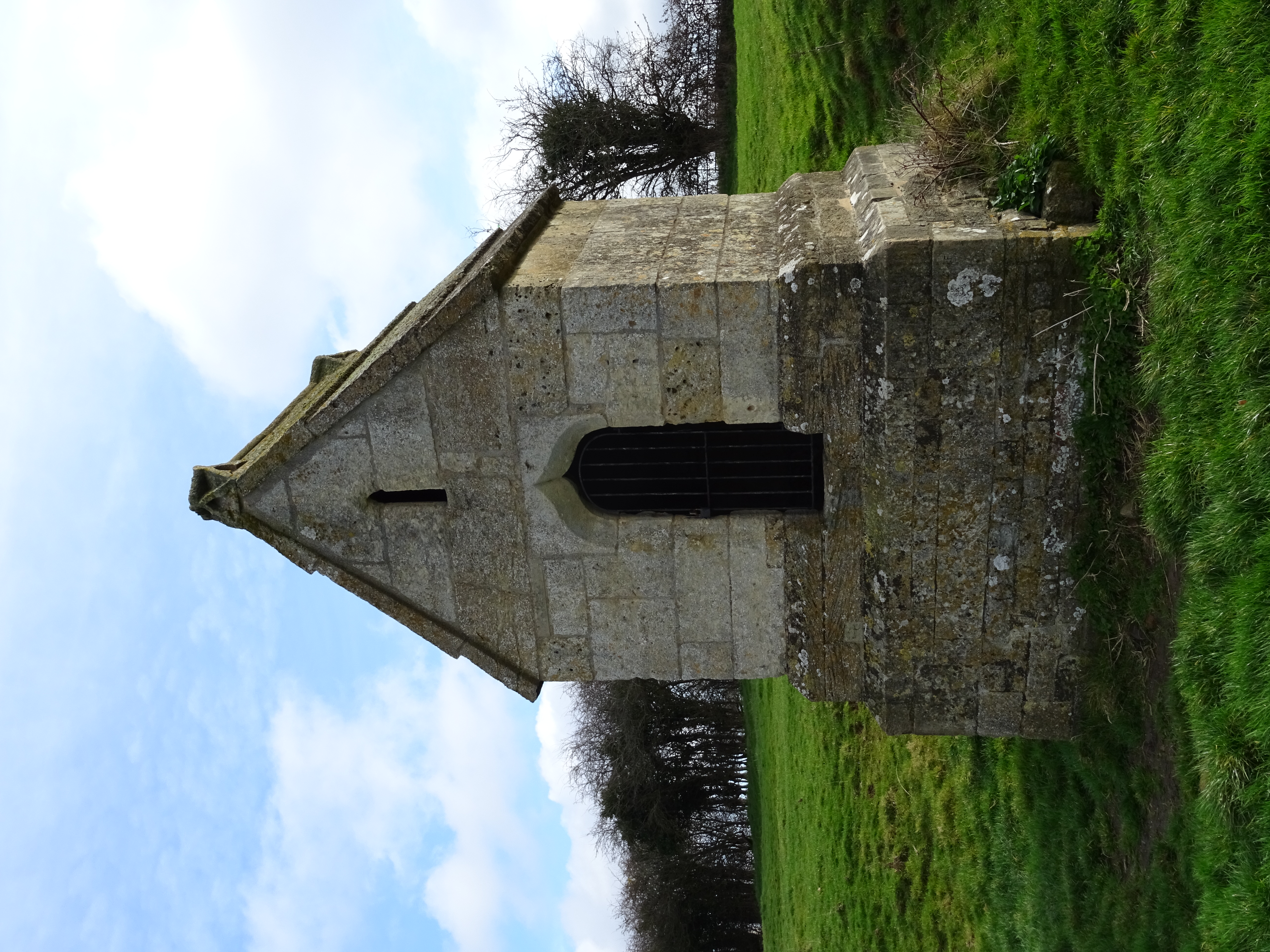
Our Lady's Well, Hempsted
Our Lady's Well (also known as Saint Anne's Well) is a holy well house in Hempsted, Gloucester. It was designated as a Grade I listed building in January...
Bristol Road
Bristol Road in the City of Gloucester dates from the medieval period. It runs between Southgate Street in the north and Quedgeley in the south where it...

Gloucester Rowing Club
Gloucester Rowing Club and Gloucester Hartpury is a rowing club on the Gloucester-Purton canal based at Gloucester Boathouse, David Hook Way, Hempsted...

Norfolk Buildings
Norfolk Buildings is a terrace of grade II listed houses at 73-91 Bristol Road, Gloucester, on the east side between Theresa Street and Alma Place. The...

Meadow Park, Gloucester
Meadow Park is a football stadium in Hempsted, Gloucester. It has been home to Gloucester City A.F.C. from 1986 to 2007. It was destroyed by flooding in...
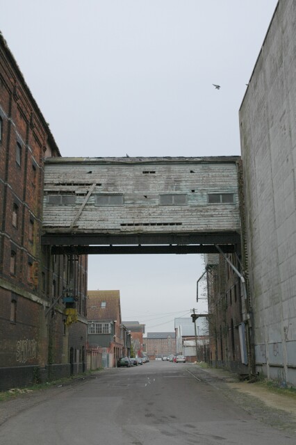
High Orchard
High Orchard was an industrial area of the city of Gloucester in England that was developed in the 19th century on the former orchard of the Priory of...
Nearby Amenities
Located within 500m of 51.851612,-2.26493Have you been to Hempsted?
Leave your review of Hempsted below (or comments, questions and feedback).