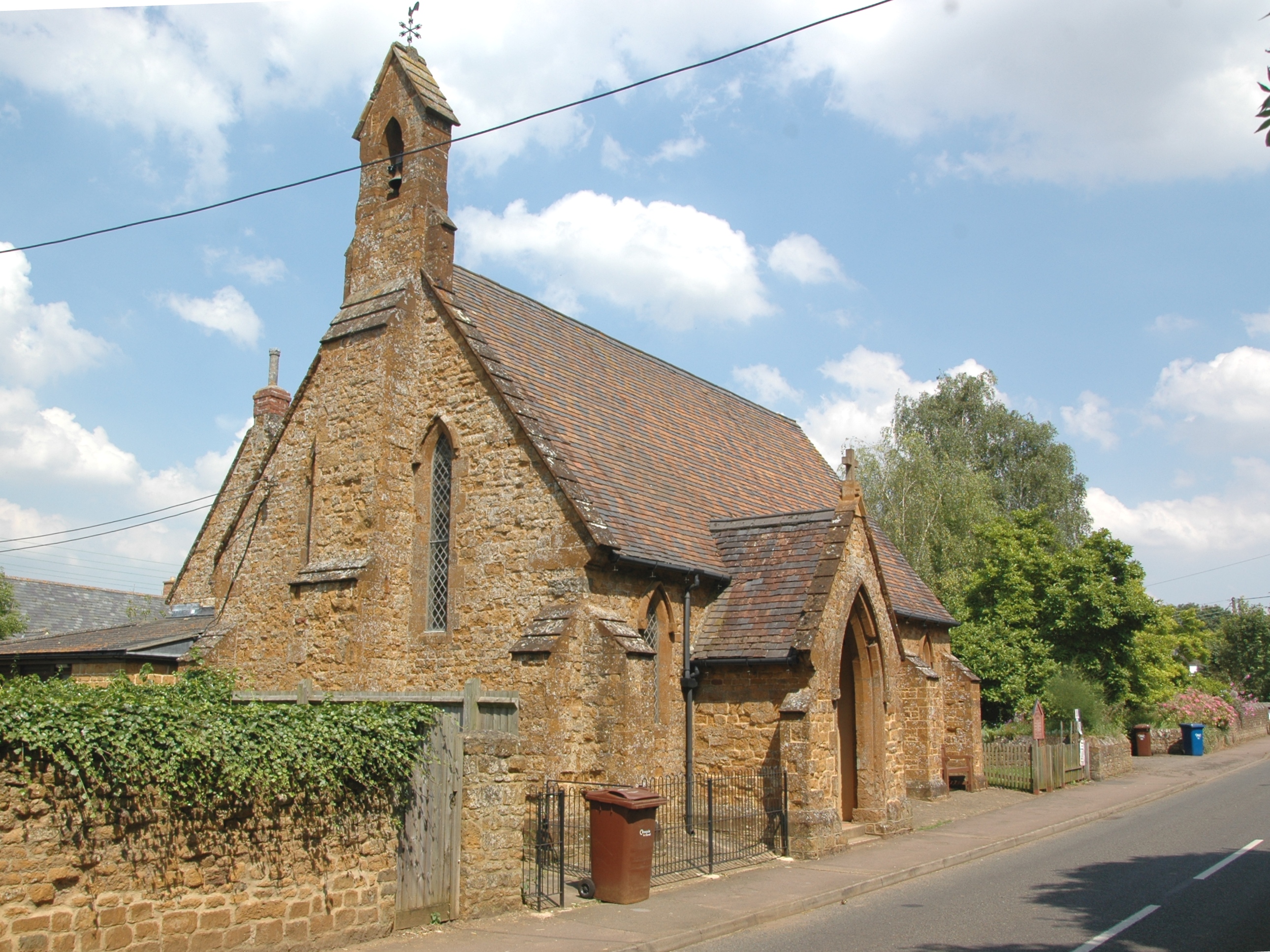
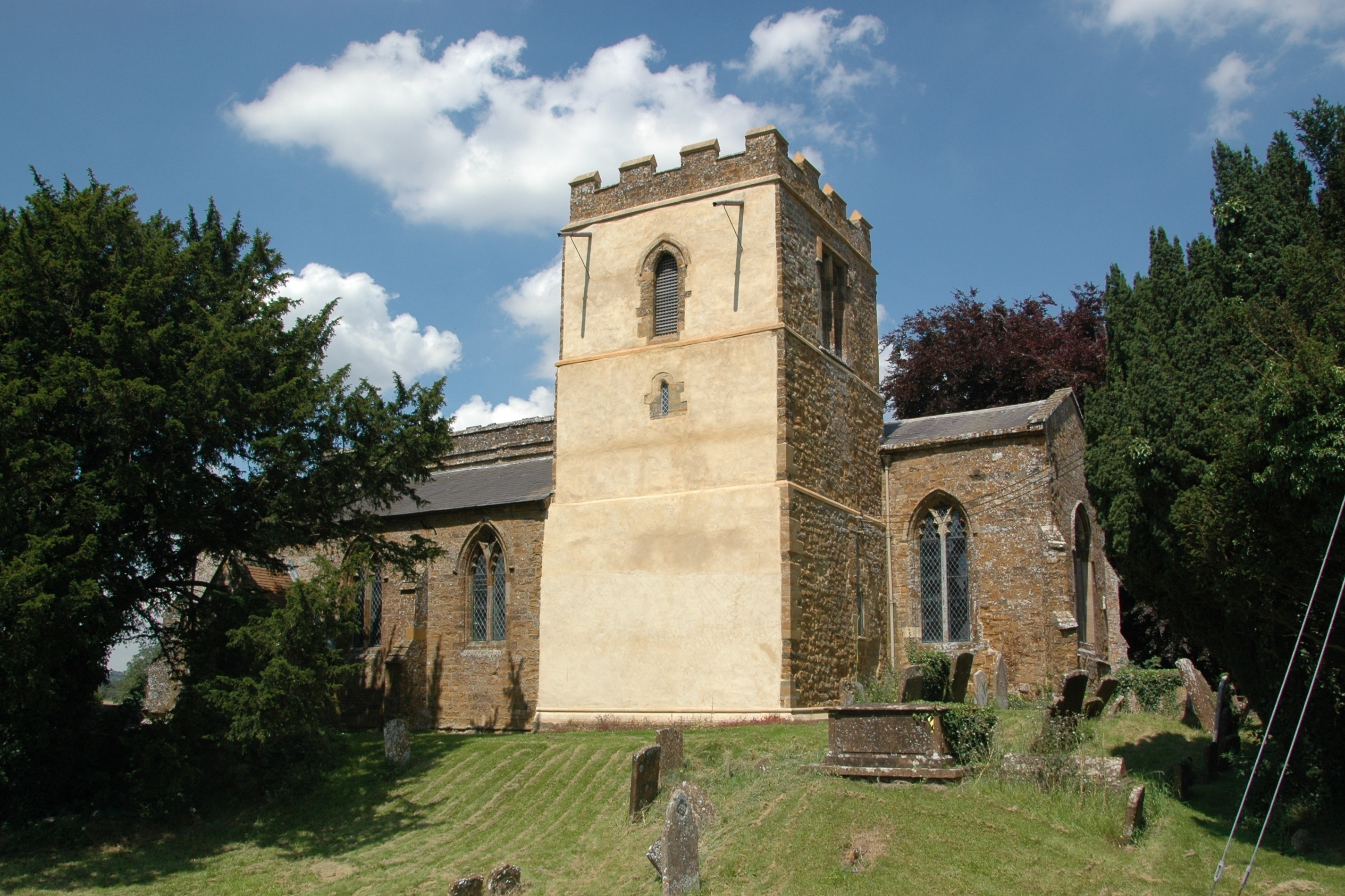
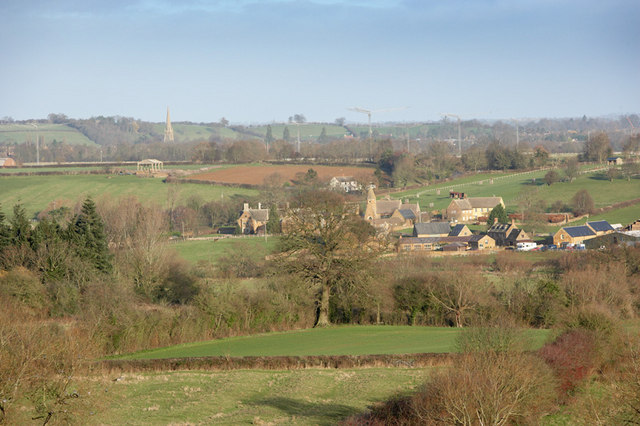
Hempton
Settlement in Oxfordshire Cherwell
England
Hempton

Hempton is a small village located in the Cherwell district of Oxfordshire, England. Situated approximately 4 miles south of the historic town of Banbury, Hempton is surrounded by picturesque countryside and offers a peaceful and idyllic setting.
The village itself is relatively small, with a population of around 500 residents. It is primarily a residential area, with a mix of traditional cottages and more modern housing developments. The architecture in Hempton showcases a charming blend of historical and contemporary styles.
In terms of amenities, Hempton offers a few essential facilities. There is a local pub, The Hempton Bell, which serves as a community hub and provides a welcoming atmosphere for visitors and locals alike. The village also has a primary school, Hempton Primary School, which caters to the educational needs of local children.
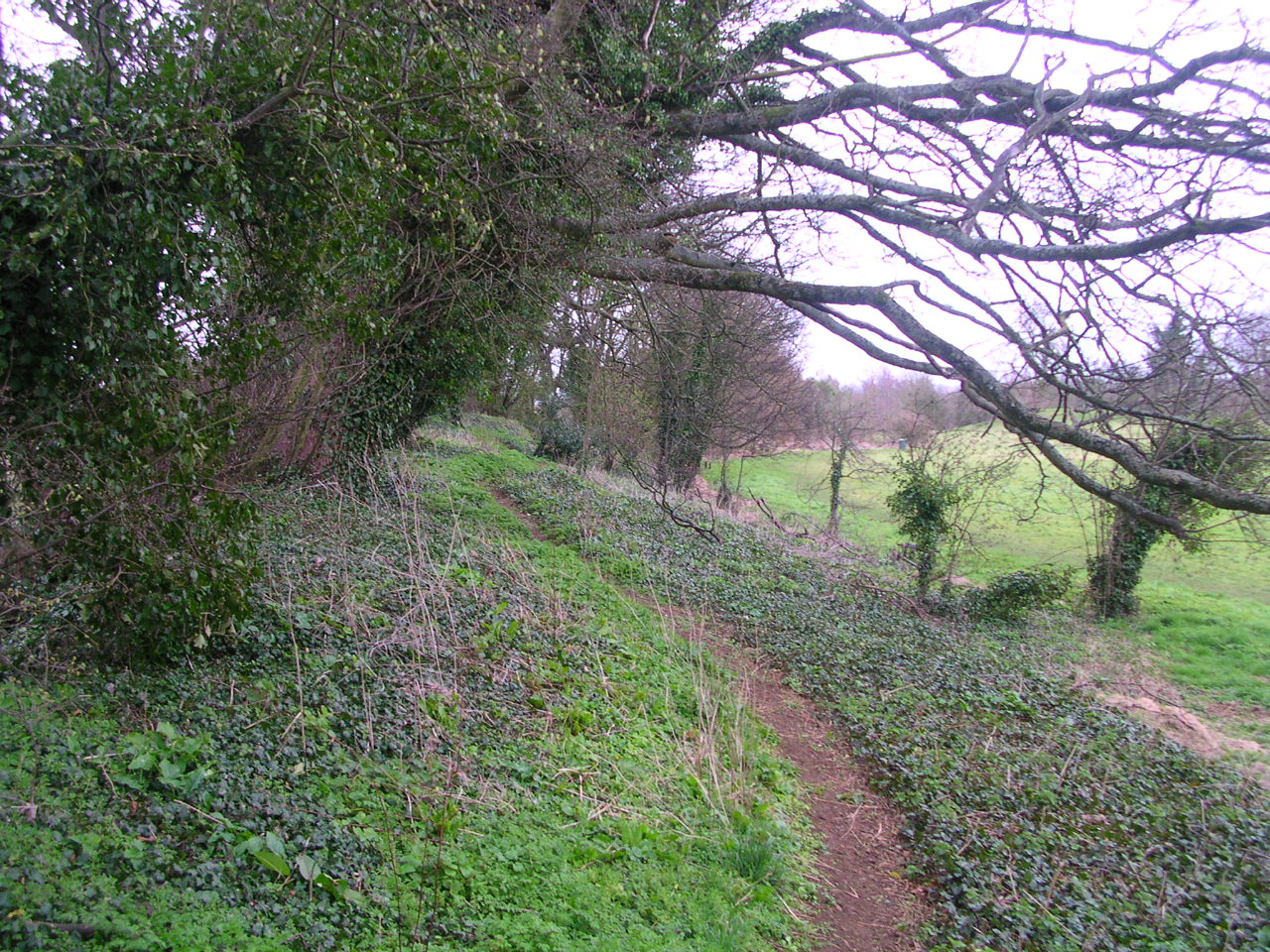
For those seeking recreational activities, the surrounding countryside offers ample opportunities for outdoor pursuits. The beautiful rolling hills and fields are perfect for walking, cycling, and exploring nature. Additionally, the nearby Banbury Golf Club provides a golfing haven for enthusiasts.
Transport links in Hempton are relatively good, with the A423 road passing through the village, providing easy access to Banbury and other nearby towns. Banbury train station, with regular services to London and Birmingham, is just a short drive away, offering convenient connections to larger cities.
In summary, Hempton is a charming and tranquil village in Oxfordshire, boasting a close-knit community, stunning natural surroundings, and convenient access to nearby amenities.
If you have any feedback on the listing, please let us know in the comments section below.
Hempton Images
Images are sourced within 2km of 51.982734/-1.349825 or Grid Reference SP4431. Thanks to Geograph Open Source API. All images are credited.


Hempton is located at Grid Ref: SP4431 (Lat: 51.982734, Lng: -1.349825)
Administrative County: Oxfordshire
District: Cherwell
Police Authority: Thames Valley
What 3 Words
///manage.rejoin.submitted. Near Deddington, Oxfordshire
Nearby Locations
Related Wikis
Hempton, Oxfordshire
Hempton is a village in Deddington civil parish about 5 miles (8 km) south of Banbury in Oxfordshire. Hempton is on the B4031 road between Deddington...

Barford St. John and St. Michael
Barford St John and St Michael is a civil parish in the Cherwell district of Oxfordshire, England. It includes the adjacent villages of Barford St. Michael...
Woodworm Records
Woodworm Records was a record label created in 1979 to enable the British folk-rock band Fairport Convention to release their album Farewell, Farewell...
Barford St Michael
Barford St Michael is a village and former civil parish, now in the parish of Barford St. John and St. Michael, in the Cherwell district, in the county...
Barford St John
Barford St. John is a small village and former civil parish, now in the parish of Barford St. John and St. Michael, in the Cherwell district, in the county...
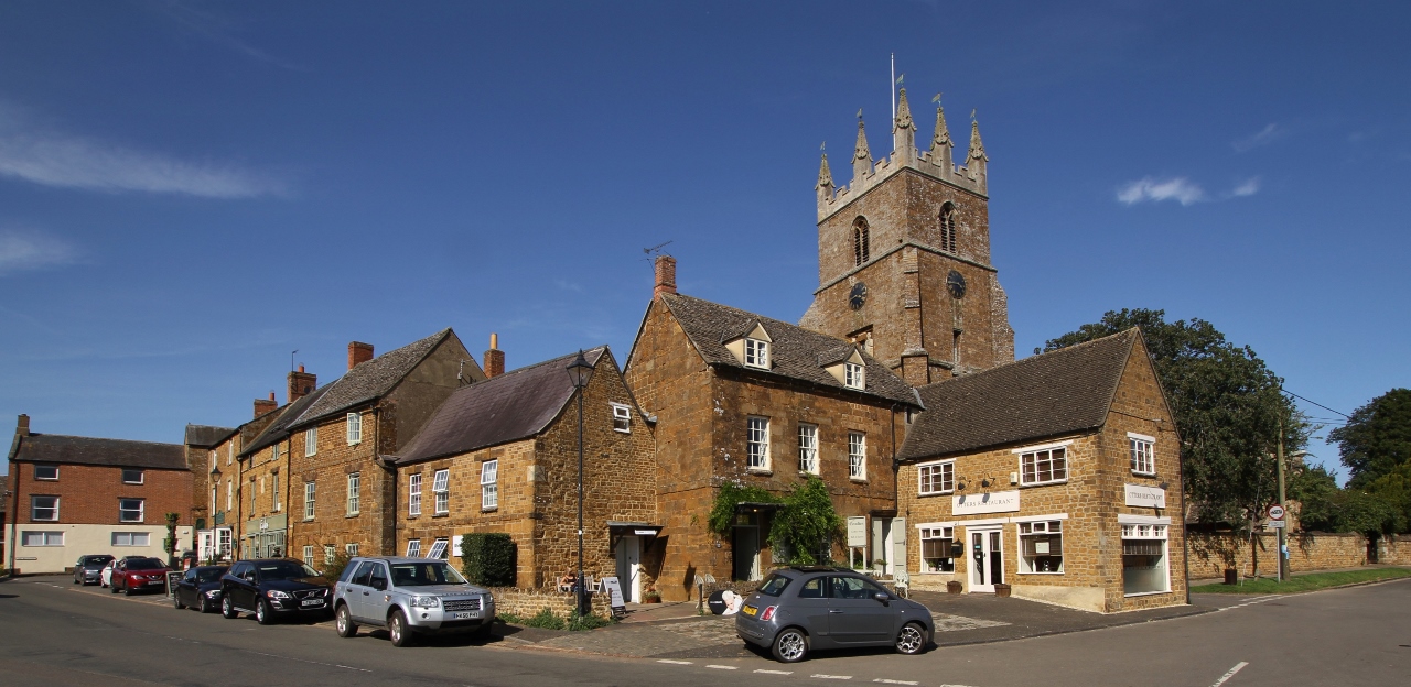
Deddington
Deddington is a civil parish and small town in Oxfordshire about 6 miles (10 km) south of Banbury. The parish includes two hamlets: Clifton and Hempton...

Deddington Town Hall
Deddington Town Hall is a municipal building in the Market Place in Deddington in Oxfordshire, England. The structure, which is used for community events...
Deddington Castle
Deddington Castle is an extensive earthwork in the village of Deddington, Oxfordshire, all that remains of an 11th-century motte-and-bailey castle, with...
Nearby Amenities
Located within 500m of 51.982734,-1.349825Have you been to Hempton?
Leave your review of Hempton below (or comments, questions and feedback).