Hempton

Settlement in Norfolk North Norfolk

England

Hempton

Field by Water Moor Lane
Field by Water Moor Lane Credit: Hugh Venables

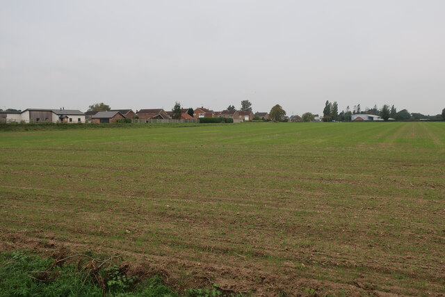
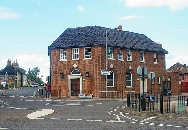
Hempton is a small village located in the county of Norfolk, England. Situated approximately 2 miles south-east of the market town of Fakenham, Hempton is a rural settlement surrounded by picturesque countryside. The village is part of the civil parish of Fakenham, and its population stands at around 300 residents.

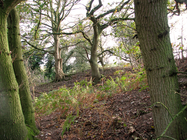
Historically, Hempton has deep roots, with evidence of human habitation dating back to the Bronze Age. The village boasts several notable landmarks, including the Grade II listed St. Andrew's Church, which dates back to the 14th century. The church features a beautiful stained-glass window and a unique octagonal tower.

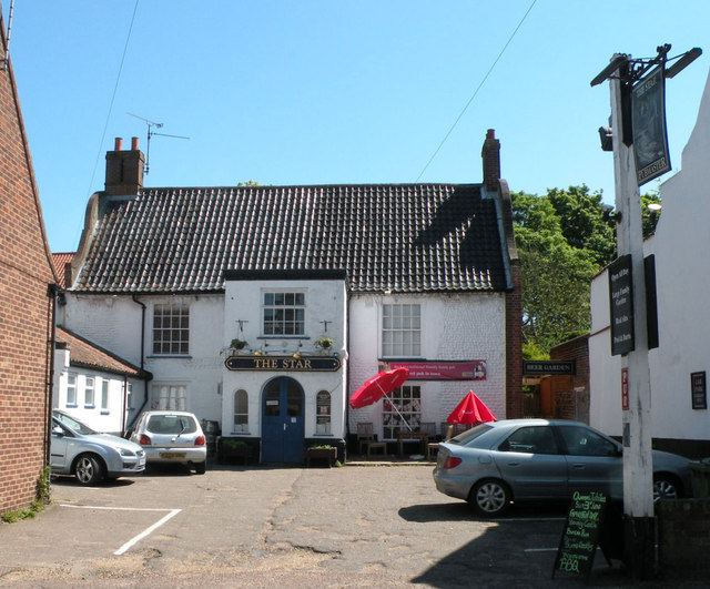
Despite its small size, Hempton has a strong sense of community, with various social activities and events organized throughout the year. The village has a local pub, The Three Horseshoes, which serves as a gathering place for both residents and visitors. The pub offers a warm and welcoming atmosphere, traditional pub food, and a selection of beverages.

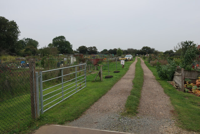
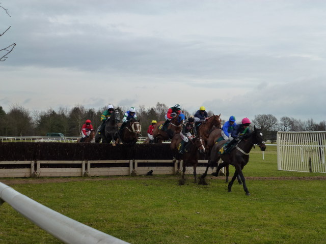
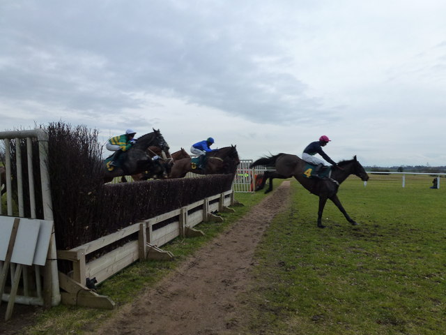
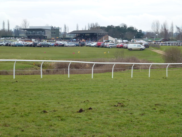
The surrounding area provides ample opportunities for outdoor activities, with numerous footpaths and nature trails for walking and cycling enthusiasts. The village is also within close proximity to several popular attractions, including the Fakenham Racecourse and Pensthorpe Natural Park, making it an attractive destination for tourists.

Overall, Hempton is a charming and peaceful village that offers a quintessential English countryside experience. Its rich history, sense of community, and proximity to natural beauty make it an appealing place for residents and visitors alike.

If you have any feedback on the listing, please let us know in the comments section below.
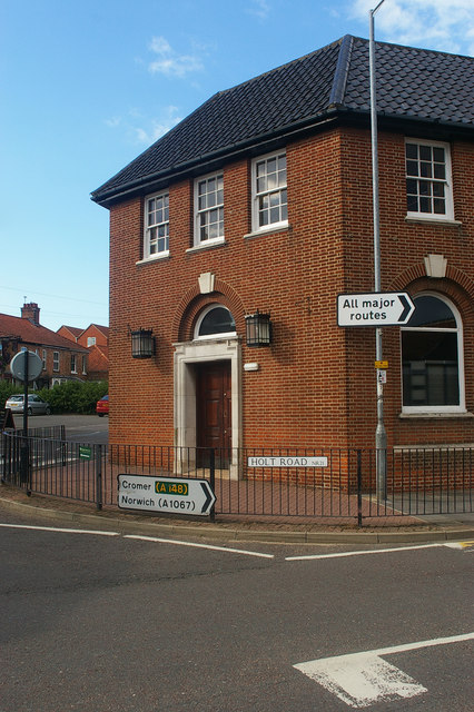
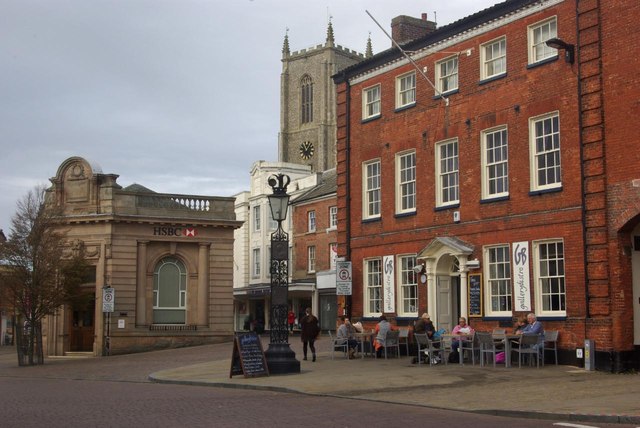
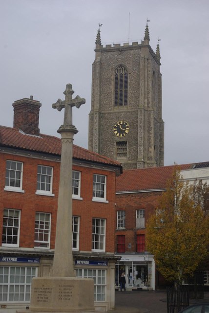
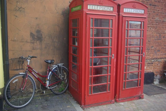
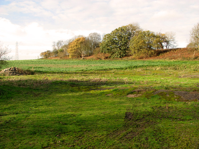
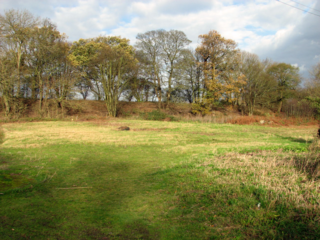
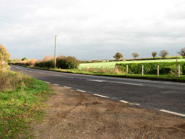
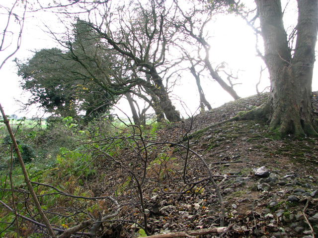
Hempton Images

Images are sourced within 2km of 52.826946/0.83393727 or Grid Reference TF9129. Thanks to Geograph Open Source API. All images are credited.

Field by Water Moor Lane
Allotments on the edge of Fakenham
Grove Lane, Fakenham
A148 at its junction with the B1105
Former post office, Fakenham
Market Place, Fakenham The heart of this attractive Norfolk market town.
Market Place, Fakenham
The heart of this attractive Norfolk market town.
Market Place, Fakenham The tower of the church of St Peter and St Paul looms over Fakenham's market place which is itself dominated by the war memorial.
Market Place, Fakenham
The tower of the church of St Peter and St Paul looms over Fakenham's market place which is itself dominated by the war memorial.
Telephone boxes in Fakenham Two K6 telephone boxes and a traditional bicycle at the northern end of Fakenham's market place. One of the boxes still has the 'Phonecard' sign nearly ten years after they were phased out.
Telephone boxes in Fakenham
Two K6 telephone boxes and a traditional bicycle at the northern end of Fakenham's market place. One of the boxes still has the 'Phonecard' sign nearly ten years after they were phased out.
View towards The Rookery, Hempton
The Rookery, Hempton
The A1065 road south of Hempton
Trees on the edge of disused gravel pits, Hempton
Disused gravel pits, Hempton
National Hunt horse racing at Fakenham The 3.05 race on Friday 17th February 2012, The Countryside Alliance Handicap Chase (for The Prince Carlton Challenge Cup) with the eventual winner, No 4, On Borrowed Wings @7/1 leading the field on the first circuit of this 3 mile chase.
National Hunt horse racing at Fakenham
The 3.05 race on Friday 17th February 2012, The Countryside Alliance Handicap Chase (for The Prince Carlton Challenge Cup) with the eventual winner, No 4, On Borrowed Wings @7/1 leading the field on the first circuit of this 3 mile chase.
Flying through the air - On Borrowed Wings National Hunt racing at Fakenham in Norfolk. The 3.05 race on Friday 17th February 2012, The Countryside Alliance Handicap Chase (for The Prince Carlton Challenge Cup) with the eventual winner, No 4, On Borrowed Wings @7/1 leading the field on the second circuit of this 3 mile chase.
Flying through the air - On Borrowed Wings
National Hunt racing at Fakenham in Norfolk. The 3.05 race on Friday 17th February 2012, The Countryside Alliance Handicap Chase (for The Prince Carlton Challenge Cup) with the eventual winner, No 4, On Borrowed Wings @7/1 leading the field on the second circuit of this 3 mile chase.
Looking over Fakenham racecourse
The Star, Fakenham Somewhat set back from Oak Street.

Late C17. Painted flint cobble and brick. Steep black-glazed pantile roof with Dutch gable ends. Brick dentil eaves; brick chimney stacks at each end. Grade II listed, Id. 223035.
The Star, Fakenham
Somewhat set back from Oak Street. Late C17. Painted flint cobble and brick. Steep black-glazed pantile roof with Dutch gable ends. Brick dentil eaves; brick chimney stacks at each end. Grade II listed, Id. 223035.
Show me another place!

Hempton is located at Grid Ref: TF9129 (Lat: 52.826946, Lng: 0.83393727)

Administrative County: Norfolk

District: North Norfolk

Police Authority: Norfolk

What 3 Words

///already.loaning.composers. Near Fakenham, Norfolk

Related Wikis

Fakenham West railway station

Fakenham West railway station was a station in Norfolk. It was built as part of the Midland and Great Northern Joint Railway main line that meandered across...

Hempton

Hempton is a village and a civil parish in the English county of Norfolk. The village is 0.8 miles (1.3 km) south west of Fakenham, 33.9 miles (54.6 km...
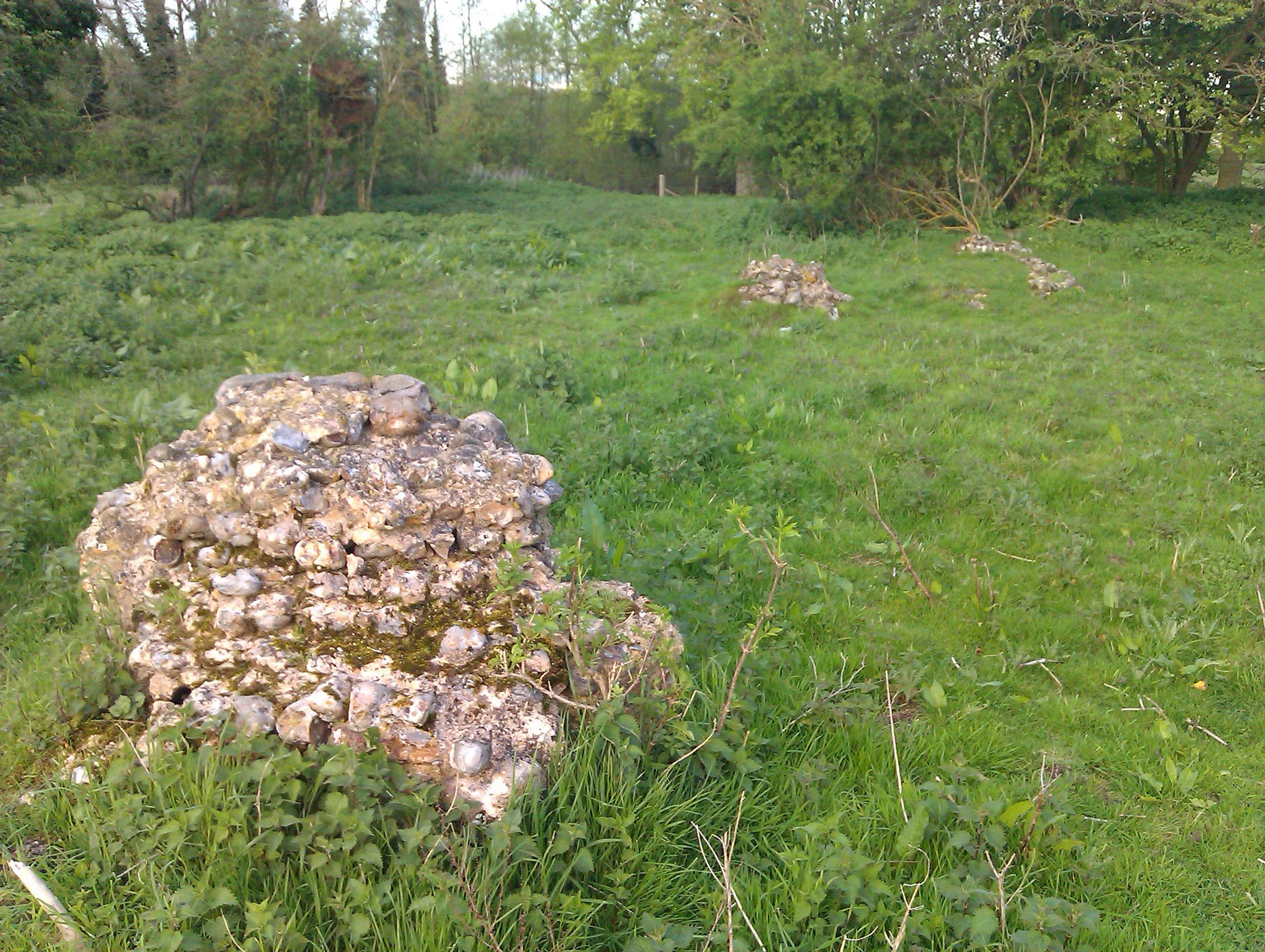
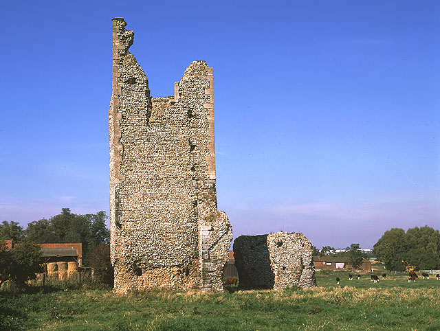
Hempton Priory

Hempton Priory was a medieval monastery at Hempton in Norfolk, England, variously referred to also as Fakenham or Damsend Priory. Of the buildings of...

Corn Exchange, Fakenham

The Corn Exchange is a commercial building in the Market Place, Fakenham, Norfolk, England. The structure, which is currently used as a cinema, is a Grade...

Pudding Norton

Pudding Norton is a village and civil parish in the English county of Norfolk. It covers an area of 2.30 sq mi (6.0 km2) and (including Testerton) had...

Fakenham

Fakenham is a market town and civil parish in Norfolk, England. It is situated on the River Wensum, about 25 miles (40 kilometres) north west of Norwich...

Fakenham Racecourse

Fakenham Racecourse is a thoroughbred horse racing venue located south of Fakenham, Norfolk, England. King Charles III is patron. == Course == The course...

Fakenham Academy

The Fakenham Academy (formerly Fakenham Grammar School and Fakenham High School and College) is a coeducational secondary school and sixth form located...

Nearby Amenities

Located within 500m of 52.826946,0.83393727
Note: Mapped as staggered junction as this is a dangerous 40 mph junction with high accident rate and so better to have more explicit verbal routing instructions
Lat/Long: 52.8247478/0.840321
Bus Stop
bus shelter, adj
Naptan AtcoCode: 2900H201
Naptan Bearing: N
Naptan CommonName: bus shelter
Naptan Indicator: adj
Naptan Locality: Hempton
Naptan NaptanCode: nfoawdwj
Naptan Street: A1065
Naptan Verified: no
Source: naptan_import
Lat/Long: 52.8225884/0.8336473
Bus Stop
Green Road, opp
Naptan AtcoCode: 2900H2010
Naptan Bearing: NE
Naptan CommonName: Green Road
Naptan Indicator: opp
Naptan Landmark: Green Road
Naptan Locality: Hempton
Naptan NaptanCode: nfoawdwm
Naptan Street: A1065
Naptan Verified: no
Source: naptan_import
Lat/Long: 52.8261644/0.8360328
Green Road, adj
Naptan AtcoCode: 2900H2011
Naptan Bearing: SW
Naptan BusStopType: CUS
Naptan CommonName: Green Road
Naptan Indicator: adj
Naptan Landmark: Green Road
Naptan Locality: Hempton
Naptan NaptanCode: nfoawdwp
Naptan Street: A1065
Naptan Verified: no
Source: naptan_import
Lat/Long: 52.8260891/0.8361763
bus shelter, opp
Naptan AtcoCode: 2900H206
Naptan Bearing: S
Naptan BusStopType: CUS
Naptan CommonName: bus shelter
Naptan Indicator: opp
Naptan Locality: Hempton
Naptan NaptanCode: nfoawgaj
Naptan Street: A1065
Naptan Verified: no
Source: naptan_import
Lat/Long: 52.8225763/0.8337801
Cafe
Fakenham Garden Centre
Lat/Long: 52.8282336/0.839448
Cables: 3
Circuits: 1
Power: pole
Wires: single
Lat/Long: 52.8269159/0.8299398
Cables: 3
Circuits: 1
Power: pole
Wires: single
Lat/Long: 52.8291345/0.835095
Power: pole
Lat/Long: 52.8269387/0.8353797
Noexit: yes
Lat/Long: 52.8281913/0.8399713
Barrier: bollard
Lat/Long: 52.8265958/0.8407169
Power: pole
Lat/Long: 52.8293662/0.8314446
Power: pole
Lat/Long: 52.8290826/0.8365917
Power: pole
Lat/Long: 52.8294975/0.8298916
Power: pole
Lat/Long: 52.8288023/0.8400518
Power: pole
Lat/Long: 52.8289611/0.8367017
Barrier: bollard
Lat/Long: 52.827295/0.8407875
Power: pole
Lat/Long: 52.8291183/0.834918
Power: pole
Lat/Long: 52.8284279/0.8362296
Power: pole
Lat/Long: 52.8292123/0.8332094
Power: pole
Lat/Long: 52.8292609/0.8332229
Power: pole
Lat/Long: 52.8289076/0.836707
Power: pole
Lat/Long: 52.8288476/0.8400357
Power: pole
Lat/Long: 52.8295477/0.8299291
Cables: 3
Circuits: 1
Power: pole
Wires: single
Lat/Long: 52.8251493/0.8273005
Power: pole
Lat/Long: 52.8297049/0.8283359
Power: pole
Lat/Long: 52.8294116/0.8314741
Cables: 3
Circuits: 1
Power: pole
Wires: single
Lat/Long: 52.828423/0.8331102
Cables: 3
Circuits: 1
Power: pole
Wires: single
Lat/Long: 52.8290162/0.8347356
Power: pole
Lat/Long: 52.8289416/0.8395019
Power: pole
Lat/Long: 52.8296514/0.828352
Cables: 3
Circuits: 1
Power: pole
Wires: single
Lat/Long: 52.8260634/0.8286738
Power: pole
Lat/Long: 52.8290664/0.8349985
Turning Circle
Lat/Long: 52.8231493/0.8324262
Post Box
Collection Times: Mo-Fr 16:00; Sa 10:30
Post Box Mounting: pier
Post Box Type: lamp
Ref: NR21 2143
Royal Cypher: EIIR
Royal Cypher Wikidata: Q33102113
Lat/Long: 52.8224836/0.8335336
Post Box
Collection Times: Mo-Fr 09:00; Sa 07:00
Operator: Royal Mail
Post Box Mounting: pier
Post Box Type: lamp
Ref: NR21 2141D
Royal Cypher: EIIR
Royal Cypher Wikidata: Q33102113
Lat/Long: 52.8267372/0.836347
Hempton
Place: village
Wikidata: Q2238035
Wikipedia: en:Hempton
Lat/Long: 52.8267651/0.8386651
Power: pole
Lat/Long: 52.8288567/0.8384877
Power: pole
Lat/Long: 52.8289014/0.8384864
Bench
Backrest: yes
Lat/Long: 52.8272077/0.8406036
Post Box
Collection Times: Mo-Fr 09:00; Sa 07:00
Operator: Royal Mail
Post Box Mounting: pier
Post Box Type: lamp
Ref: NR21 2139D
Royal Cypher: EIIR
Royal Cypher Wikidata: Q33102113
Lat/Long: 52.8260195/0.8410161
Fixme: incomplete
Lat/Long: 52.8231435/0.8379194
Crossing
Crossing: unmarked
Lat/Long: 52.8250696/0.839558
Cables: 3
Circuits: 1
Power: pole
Wires: single
Lat/Long: 52.8278323/0.8312782
Width Restriction
Description: Max Width 6.5 Ft
Maxwidth: 6'6"
Lat/Long: 52.8274989/0.8402688
Width Restriction
Description: Max Width 6.5 Ft
Maxwidth: 6'6"
Lat/Long: 52.8266767/0.840607
Entrance: main
Lat/Long: 52.8259991/0.8390147
Give Way
Lat/Long: 52.8247604/0.840275
Give Way
Lat/Long: 52.8247352/0.8403669
Note: Mapped as staggered junction as this is a dangerous 40 mph junction with high accident rate and so better to have more explicit verbal routing instructions
Lat/Long: 52.8247814/0.8402225
Give Way
Lat/Long: 52.8262943/0.8362666
The data included in this document is from www.openstreetmap.org. The data is made available under ODbL.

Have you been to Hempton?

Leave your review of Hempton below (or comments, questions and feedback).