Night Common

Downs, Moorland in Norfolk North Norfolk

England

Night Common

Field by Water Moor Lane With some new housing replacing a poultry farm. There are well developed plans for a significant expansion of Fakenham into this area.
Field by Water Moor Lane Credit: Hugh Venables

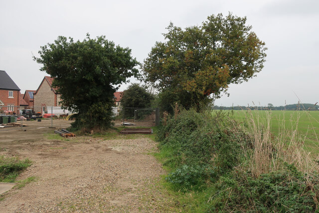
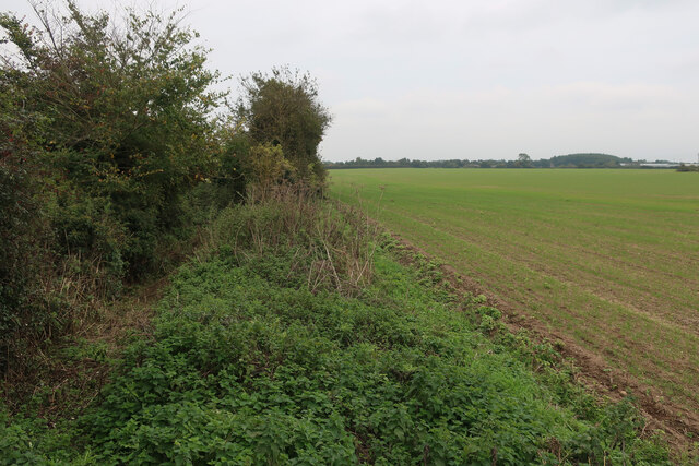
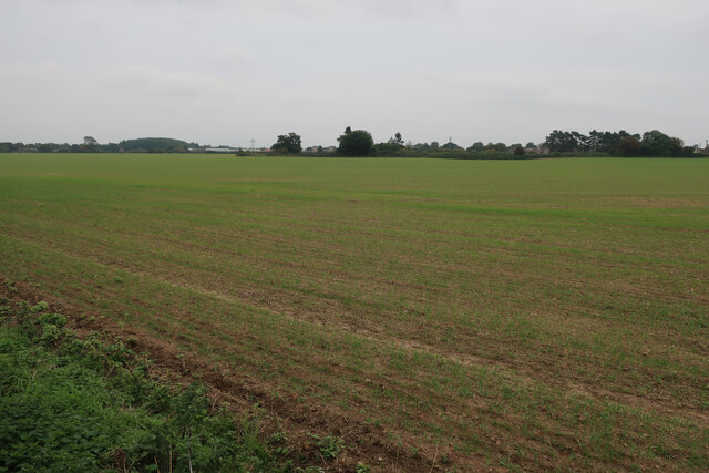
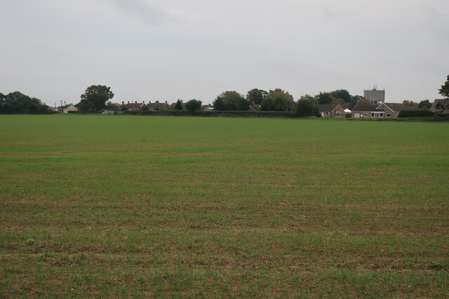
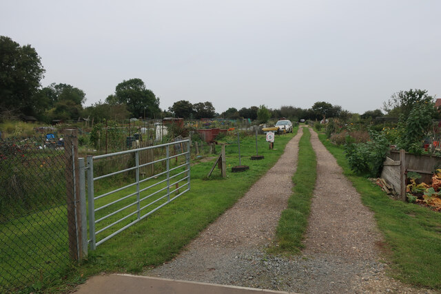
Night Common is a picturesque area located in Norfolk, England, known for its stunning natural beauty and diverse ecosystems. Situated between the towns of Downham Market and Swaffham, Night Common encompasses both downs and moorland landscapes, offering visitors a unique combination of habitats to explore.

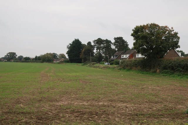
The downs of Night Common are characterized by rolling hills covered in a patchwork of vibrant green grasses and wildflowers. This scenic terrain provides a home for a variety of wildlife, including rabbits, hares, and numerous bird species. The sweeping views from the downs offer visitors an opportunity to immerse themselves in the tranquility of the countryside.

In contrast, the moorland areas of Night Common showcase a different aspect of the region's natural beauty. Here, visitors can wander through vast expanses of heather-covered hillsides, dotted with gorse and bracken. The moorland is home to a range of plant and animal species, including reptiles like adders and grass snakes, as well as a variety of insects and butterflies.

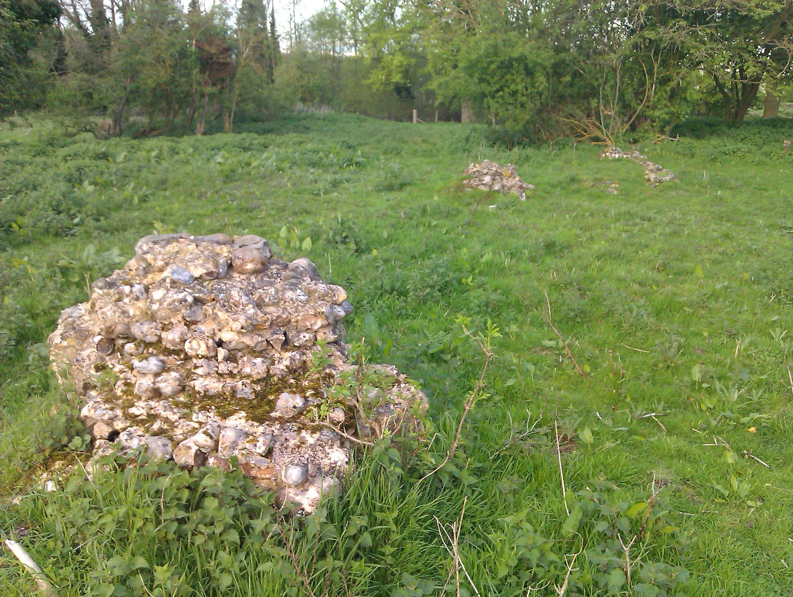
Night Common is also known for its rich history. The area has evidence of human settlement dating back thousands of years, with archaeological finds including ancient tools and burial mounds. This makes it a fascinating destination for history enthusiasts, who can explore the remnants of past cultures while taking in the breathtaking scenery.

Whether it's for a leisurely stroll, birdwatching, or discovering the area's historical significance, Night Common offers visitors a captivating experience that highlights the natural beauty and cultural heritage of Norfolk.

If you have any feedback on the listing, please let us know in the comments section below.
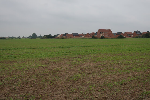
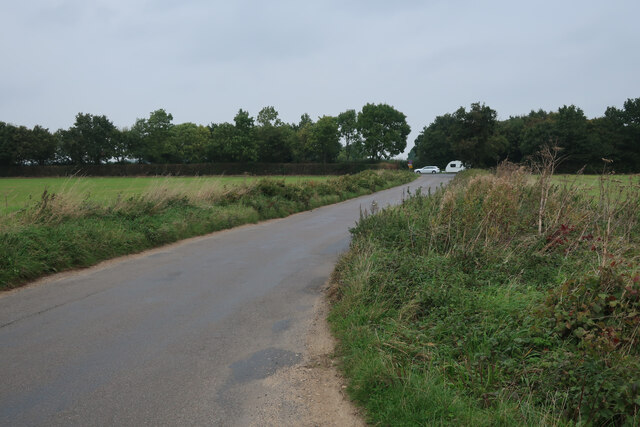
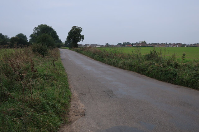
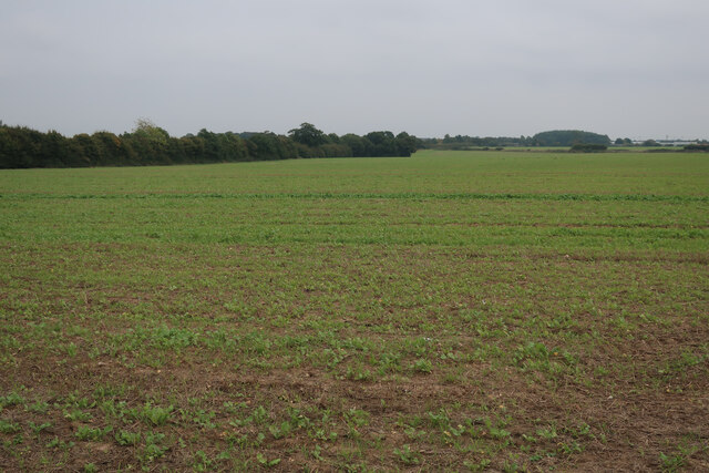
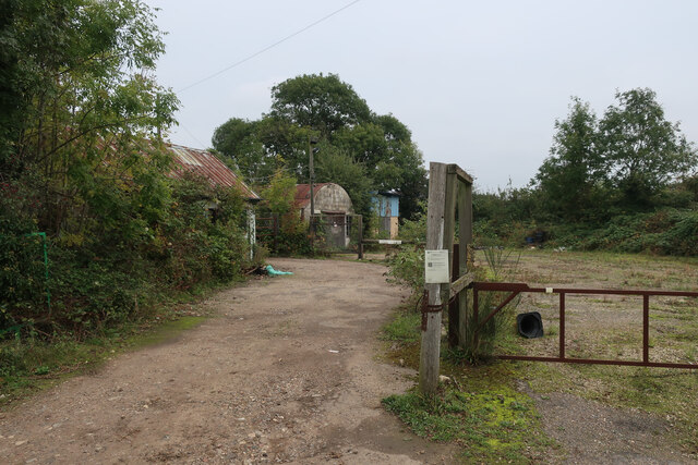
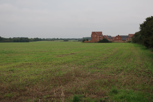
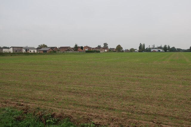
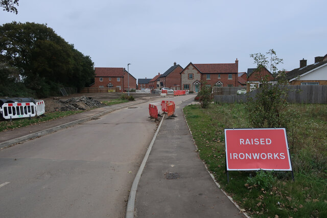
Night Common Images

Images are sourced within 2km of 52.829476/0.83569063 or Grid Reference TF9129. Thanks to Geograph Open Source API. All images are credited.

Field by Water Moor Lane With some new housing replacing a poultry farm. There are well developed plans for a significant expansion of Fakenham into this area.
Field by Water Moor Lane
With some new housing replacing a poultry farm. There are well developed plans for a significant expansion of Fakenham into this area.
Water Moor Lane towards the A148
Water Moor Lane towards Fakenham
Field by Water Moor Lane There are well developed plans for a significant expansion of Fakenham into this area.
Field by Water Moor Lane
There are well developed plans for a significant expansion of Fakenham into this area.
Old yard by Water Moor Lane
New housing on edge of Fakenham There are well developed plans for a significant expansion of Fakenham into this area.
New housing on edge of Fakenham
There are well developed plans for a significant expansion of Fakenham into this area.
Field by Water Moor Lane
Brick Kiln Road New housing on the edge of Fakenham.
Brick Kiln Road
New housing on the edge of Fakenham.
Brick Kiln Road New housing on the edge of Fakenham.
Brick Kiln Road
New housing on the edge of Fakenham.
Grove Lane blocked A small area of new housing, with plans for a large development of the whole area.
Grove Lane blocked
A small area of new housing, with plans for a large development of the whole area.
Field by Grove Lane With plans for development of the area as a significant expansion of Fakenham.
Field by Grove Lane
With plans for development of the area as a significant expansion of Fakenham.
Field by Grove Lane With plans for development of the area as a significant expansion of Fakenham.
Field by Grove Lane
With plans for development of the area as a significant expansion of Fakenham.
Field on the edge of Fakenham With plans for development of the area.
Field on the edge of Fakenham
With plans for development of the area.
Current edge of Fakenham With plans for development of the fields between here and the bypass.
Current edge of Fakenham
With plans for development of the fields between here and the bypass.
Allotments on the edge of Fakenham
Grove Lane, Fakenham
A148 at its junction with the B1105
A view over Fakenham Racecourse in Norfolk
Show me another place!

Night Common is located at Grid Ref: TF9129 (Lat: 52.829476, Lng: 0.83569063)

Administrative County: Norfolk

District: North Norfolk

Police Authority: Norfolk

What 3 Words

///oddly.quintet.fatherly. Near Fakenham, Norfolk

Related Wikis

Fakenham West railway station

Fakenham West railway station was a station in Norfolk. It was built as part of the Midland and Great Northern Joint Railway main line that meandered across...

Corn Exchange, Fakenham

The Corn Exchange is a commercial building in the Market Place, Fakenham, Norfolk, England. The structure, which is currently used as a cinema, is a Grade...

Hempton

Hempton is a village and a civil parish in the English county of Norfolk. The village is 0.8 miles (1.3 km) south west of Fakenham, 33.9 miles (54.6 km...

Hempton Priory

Hempton Priory was a medieval monastery at Hempton in Norfolk, England, variously referred to also as Fakenham or Damsend Priory. Of the buildings of...

Nearby Amenities

Located within 500m of 52.829476,0.83569063
Bus Stop
Green Road, opp
Naptan AtcoCode: 2900H2010
Naptan Bearing: NE
Naptan CommonName: Green Road
Naptan Indicator: opp
Naptan Landmark: Green Road
Naptan Locality: Hempton
Naptan NaptanCode: nfoawdwm
Naptan Street: A1065
Naptan Verified: no
Source: naptan_import
Lat/Long: 52.8261644/0.8360328
Green Road, adj
Naptan AtcoCode: 2900H2011
Naptan Bearing: SW
Naptan BusStopType: CUS
Naptan CommonName: Green Road
Naptan Indicator: adj
Naptan Landmark: Green Road
Naptan Locality: Hempton
Naptan NaptanCode: nfoawdwp
Naptan Street: A1065
Naptan Verified: no
Source: naptan_import
Lat/Long: 52.8260891/0.8361763
Cafe
Fakenham Garden Centre
Lat/Long: 52.8282336/0.839448
Barrier: bollard
Lat/Long: 52.8303051/0.8400284
Millennium Milepost Fakenham
Description: 1) Norwich 30 2) King's Lynn 50
Image: https://www.cyclestreets.net/location/186503/cyclestreets186503-size640.jpg
Information: guidepost
Ncn Milepost: mills
Sustrans Ref: MP 396
Tourism: information
Lat/Long: 52.8303972/0.8399652
Bicycle Parking
Bicycle Parking: stands
Capacity: 4
Lat/Long: 52.8292045/0.8419554
Power: pole
Lat/Long: 52.8291815/0.8414519
Cables: 3
Circuits: 1
Power: pole
Wires: single
Lat/Long: 52.8269159/0.8299398
Cables: 3
Circuits: 1
Power: pole
Wires: single
Lat/Long: 52.8291345/0.835095
Power: pole
Lat/Long: 52.8269387/0.8353797
Power: pole
Lat/Long: 52.830345/0.8418059
Power: pole
Lat/Long: 52.8312477/0.8401725
Power: pole
Lat/Long: 52.8308814/0.8408618
Noexit: yes
Lat/Long: 52.8281913/0.8399713
Barrier: bollard
Lat/Long: 52.8265958/0.8407169
Power: pole
Lat/Long: 52.8293662/0.8314446
Power: pole
Lat/Long: 52.8290826/0.8365917
Power: pole
Lat/Long: 52.8290032/0.8416021
Power: pole
Lat/Long: 52.8294975/0.8298916
Power: pole
Lat/Long: 52.8300987/0.8429137
Power: pole
Lat/Long: 52.8288023/0.8400518
Power: pole
Lat/Long: 52.8289611/0.8367017
Barrier: bollard
Lat/Long: 52.827295/0.8407875
Power: pole
Lat/Long: 52.8291183/0.834918
Power: pole
Lat/Long: 52.8284279/0.8362296
Power: pole
Lat/Long: 52.8292123/0.8332094
Power: pole
Lat/Long: 52.8292609/0.8332229
Power: pole
Lat/Long: 52.8289076/0.836707
Power: pole
Lat/Long: 52.8288476/0.8400357
Power: pole
Lat/Long: 52.8295477/0.8299291
Power: pole
Lat/Long: 52.8309916/0.8412427
Power: pole
Lat/Long: 52.8304115/0.8418971
Power: pole
Lat/Long: 52.8297049/0.8283359
Power: pole
Lat/Long: 52.8294116/0.8314741
Cables: 3
Circuits: 1
Power: pole
Wires: single
Lat/Long: 52.828423/0.8331102
Cables: 3
Circuits: 1
Power: pole
Wires: single
Lat/Long: 52.8290162/0.8347356
Power: pole
Lat/Long: 52.8289416/0.8395019
Power: pole
Lat/Long: 52.8312736/0.8402824
Power: pole
Lat/Long: 52.828953/0.8415914
Power: pole
Lat/Long: 52.8296514/0.828352
Power: pole
Lat/Long: 52.8309738/0.8408403
Power: pole
Lat/Long: 52.8290664/0.8349985
Power: pole
Lat/Long: 52.8330788/0.836817
Power: pole
Lat/Long: 52.8326979/0.8373962
Power: pole
Lat/Long: 52.8323706/0.8381741
Power: pole
Lat/Long: 52.8338665/0.8353413
Power: pole
Lat/Long: 52.8319245/0.8390313
Power: pole
Lat/Long: 52.8318218/0.8390734
Power: pole
Lat/Long: 52.8336442/0.8356036
Power: pole
Lat/Long: 52.8292512/0.8420232
Power: pole
Lat/Long: 52.8322675/0.8382201
Post Box
Collection Times: Mo-Fr 09:00; Sa 07:00
Operator: Royal Mail
Post Box Mounting: pier
Post Box Type: lamp
Ref: NR21 2141D
Royal Cypher: EIIR
Royal Cypher Wikidata: Q33102113
Lat/Long: 52.8267372/0.836347
Hempton
Place: village
Wikidata: Q2238035
Wikipedia: en:Hempton
Lat/Long: 52.8267651/0.8386651
Power: pole
Lat/Long: 52.8288567/0.8384877
Power: pole
Lat/Long: 52.8289014/0.8384864
Bench
Backrest: yes
Lat/Long: 52.8272077/0.8406036
Cables: 3
Circuits: 1
Power: pole
Wires: single
Lat/Long: 52.8278323/0.8312782
Width Restriction
Description: Max Width 6.5 Ft
Maxwidth: 6'6"
Lat/Long: 52.8274989/0.8402688
Width Restriction
Description: Max Width 6.5 Ft
Maxwidth: 6'6"
Lat/Long: 52.8266767/0.840607
Entrance: main
Lat/Long: 52.8259991/0.8390147
Give Way
Lat/Long: 52.8262943/0.8362666
Waste Basket
Lat/Long: 52.8303054/0.8400605
Waste Basket
Lat/Long: 52.8302908/0.8400135
Bench
Lat/Long: 52.8291811/0.8419776
Waste Basket
Lat/Long: 52.8292135/0.8419709
Bench
Lat/Long: 52.8300818/0.8402878
Groggs' Mill
Colour: blue
Historic: memorial
Loc Ref: 28
Memorial: plaque
Network: Fakenham Lancaster Heritage Trail
Lat/Long: 52.8302098/0.8401202
Barrier: kissing_gate
Lat/Long: 52.8303402/0.840143
Waste Basket
Waste: dog_excrement
Lat/Long: 52.8300024/0.8407666
The data included in this document is from www.openstreetmap.org. The data is made available under ODbL.

Have you been to Night Common?

Leave your review of Night Common below (or comments, questions and feedback).