Low Common

Downs, Moorland in Norfolk South Norfolk

England

Low Common

Great Melton, Market Lane
Great Melton, Market Lane Credit: Michael Garlick

Low Common is a small rural area located in Norfolk, England. Situated between Downs and Moorland, it is surrounded by picturesque countryside and offers a tranquil setting for its residents. The village is known for its peaceful atmosphere and close-knit community.

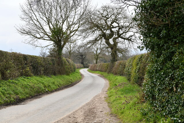
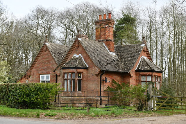
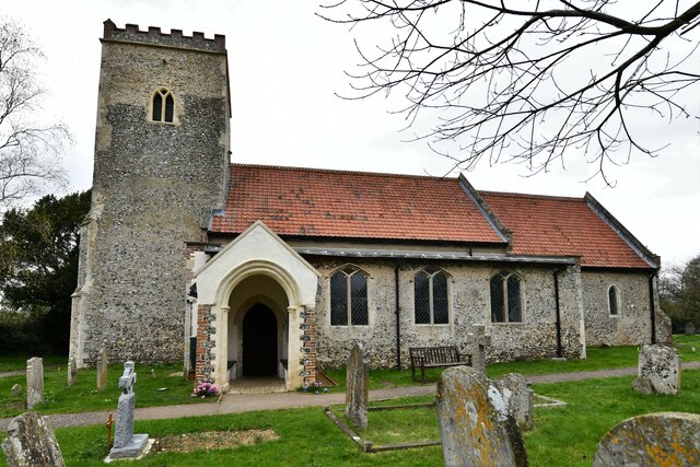
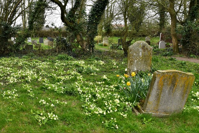
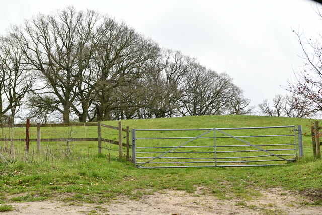
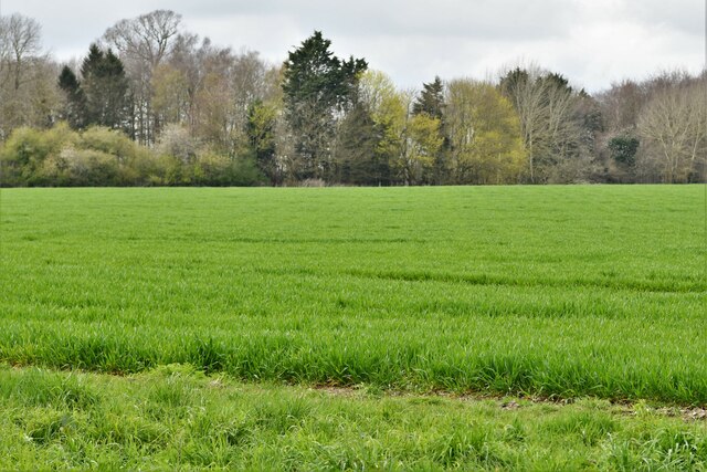
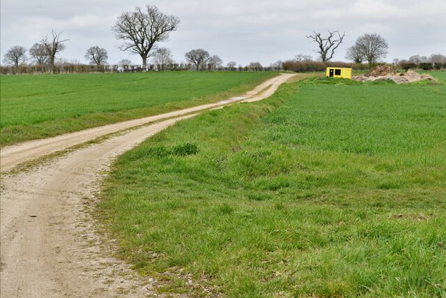
Low Common is characterized by its charming cottages and traditional architecture, which adds to the area's quaint and timeless appeal. The landscape is dominated by rolling green hills, dotted with grazing livestock, and is often admired for its natural beauty. The nearby Downs and Moorland provide stunning views and ample opportunities for outdoor activities such as hiking, cycling, and horse riding.

The village boasts a few essential amenities, including a local convenience store, a post office, and a village hall that serves as a social hub for community gatherings and events. Although relatively small, Low Common offers a strong sense of community spirit, with various clubs and organizations catering to residents' interests.

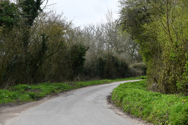
The area is well-connected to nearby towns and cities, with good transport links and easy access to major road networks. This allows for convenient commuting and access to a wider range of amenities and services.

Overall, Low Common, Norfolk (Downs, Moorland) is a charming and idyllic rural area, offering a peaceful and close-knit community lifestyle. Its picturesque surroundings and strong sense of community make it an attractive place to live for those seeking a quieter and more relaxed way of life.

If you have any feedback on the listing, please let us know in the comments section below.
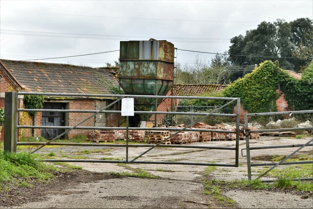
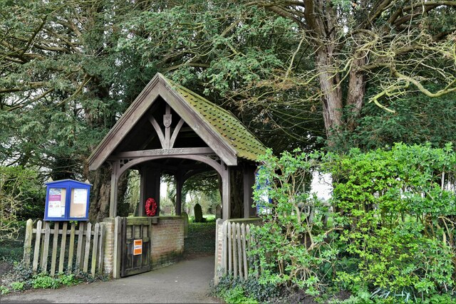
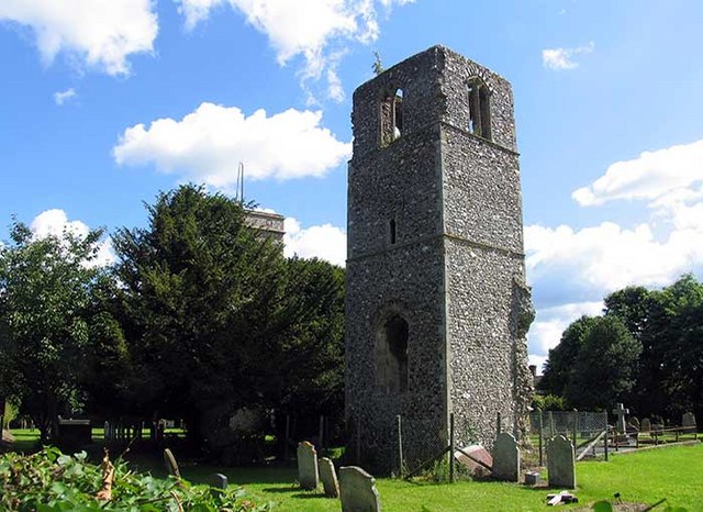
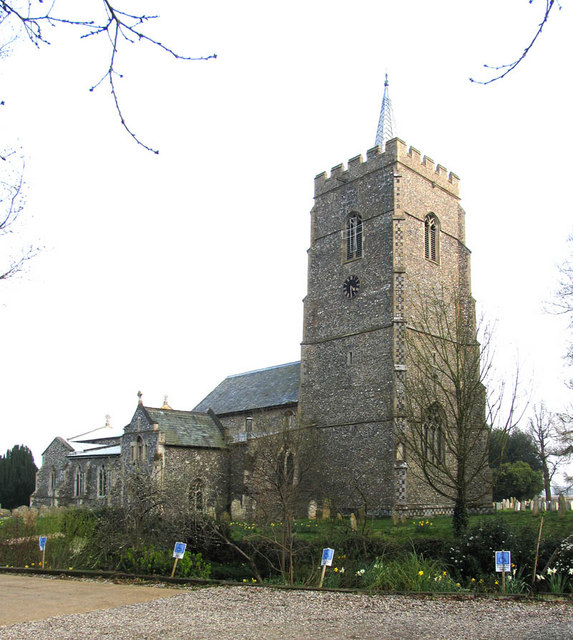
Low Common Images

Images are sourced within 2km of 52.62083/1.1764487 or Grid Reference TG1507. Thanks to Geograph Open Source API. All images are credited.

Great Melton, Market Lane
Great Melton: Red Lodge
Little Melton,  St. Mary and All Saints Church: South western aspect
Little Melton, St. Mary and All Saints Church: South western aspect
Little Melton,  St. Mary and All Saints Church: South porch
Little Melton, St. Mary and All Saints Church: South porch
Little Melton,  St. Mary and All Saints Church: South aspect
Little Melton, St. Mary and All Saints Church: South aspect
Little Melton,  St. Mary and All Saints Church: A corner of the churchyard covered in primroses
Little Melton, St. Mary and All Saints Church: A corner of the churchyard covered in primroses
Great Melton: Gated grazing land
Great Melton, Market Lane
Great Melton: Looking towards a small wooded area
Great Melton: Farm track
Great Melton, Church Farm
Little Melton,  St. Mary and All Saints Church: Eastern aspect
Little Melton, St. Mary and All Saints Church: Eastern aspect
Little Melton,  St. Mary and All Saints Church: Silver birch 'Betula pendula'
Little Melton, St. Mary and All Saints Church: Silver birch 'Betula pendula'
Little Melton,  St. Mary and All Saints Church: Lych gate
Little Melton, St. Mary and All Saints Church: Lych gate
Little Melton,  St. Mary and All Saints Church: North eastern aspect
Little Melton, St. Mary and All Saints Church: North eastern aspect
Little Melton,  St. Mary and All Saints Church: Wildlife observation board in the south porch
Little Melton, St. Mary and All Saints Church: Wildlife observation board in the south porch
Little Melton,  St. Mary and All Saints Church: South doorway head stop (left)
Little Melton, St. Mary and All Saints Church: South doorway head stop (left)
Little Melton,  St. Mary and All Saints Church: South doorway head stop (right)
Little Melton, St. Mary and All Saints Church: South doorway head stop (right)
Show me another place!

Low Common is located at Grid Ref: TG1507 (Lat: 52.62083, Lng: 1.1764487)

Administrative County: Norfolk

District: South Norfolk

Police Authority: Norfolk

What 3 Words

///dialects.explored.badminton. Near Hethersett, Norfolk

Related Wikis

Little Melton

Little Melton is a village on the outskirts of Norwich in the South Norfolk district of Norfolk, England. It covers an area of 2.75 km2 (1.06 sq mi) and...

Bawburgh

Bawburgh () is a village and civil parish in the South Norfolk district of Norfolk, England, lying in the valley of the River Yare about 5 miles (8.0 km...

Great Melton

Great Melton is a civil parish in the English county of Norfolk. It covers an area of 10.24 km2 (3.95 sq mi) and had a population of 148 in 59 households...

Hethersett

Hethersett is a large village and electoral ward in the county of Norfolk, England, about 6 miles (10 km) south-west of Norwich. It covers an area of 4...

Norwich City F.C. Under-23s and Academy

Norwich City Under-21s and Academy is the youth organisation run by Norwich City F.C. The team is made up of under-21 and academy players and is effectively...

Hethersett Academy

Hethersett Academy, previously known as Hethersett High School and Science College, is a coeducational secondary school, part of the Inspiration Trust...

Marlingford

Marlingford is a village and former civil parish, 6 miles (9.7 km) west of Norwich, now in the parish of Marlingford and Colton, in the South Norfolk district...

River Tiffey

The River Tiffey is a small river in Norfolk, England and a tributary of the River Yare. It rises near Hethel and passes through Wymondham before flowing...

Nearby Amenities

Located within 500m of 52.62083,1.1764487
Power: pole
Lat/Long: 52.616785/1.178723
Power: pole
Lat/Long: 52.6165822/1.1775101
Power: pole
Lat/Long: 52.617151/1.1793101
Power: pole
Lat/Long: 52.6164881/1.1781787
War Memorial
Barrier: lych_gate
Description: The Lych Gate is dedicated "In Rembrance", two panels flank the gate with the inscription.
Foot: yes
Historic: memorial
Inscription: In Grateful Rembrance of Those Who Gave Their Lives in the Two World Wars. For the War of 1914-1918 6 mens names, for the War of 1939-1945 5 mens names.
Material: wood
Website: https://www.gravestonephotos.com/public/locationnamelist.php?cemetery=4807
Lat/Long: 52.6175146/1.1799744
Bench
Backrest: yes
Material: wood
Lat/Long: 52.6171312/1.1804806
Bench
Backrest: yes
Inscription: Millennium Bench / To Celebrate Two Thosuand Years of Christianity
Material: wood
Lat/Long: 52.6172159/1.1796089
Entrance: main
Lat/Long: 52.6172187/1.1795376
Inscription: In Memory of my Mother / Florence Preston / 1920~1994
Lat/Long: 52.617236/1.1795368
Entrance: yes
Lat/Long: 52.6173507/1.1795468
Bench
Backrest: yes
Material: wood
Note: broken
Lat/Long: 52.6174086/1.1805266
Power: pole
Lat/Long: 52.6224206/1.1743911
Power: pole
Lat/Long: 52.6226404/1.1731116
Power: pole
Lat/Long: 52.6227772/1.1751367
Power: pole
Lat/Long: 52.6228521/1.1719717
Power: pole
Lat/Long: 52.6230458/1.1708103
Power: pole
Lat/Long: 52.6235474/1.1787336
Power: pole
Lat/Long: 52.6235506/1.1764966
Power: pole
Lat/Long: 52.623595/1.1802296
Power: pole
Lat/Long: 52.6236674/1.1817625
Give Way
Lat/Long: 52.6178189/1.1778692
Give Way
Lat/Long: 52.6175844/1.1777612
Give Way
Direction: forward
Lat/Long: 52.6243814/1.1788295
Operator: GPSS
Pipeline: marker
Substance: oil
Support: pole
Lat/Long: 52.6175147/1.1809565
Operator: GPSS
Pipeline: marker
Substance: oil
Support: pole
Lat/Long: 52.6176792/1.1810289
The data included in this document is from www.openstreetmap.org. The data is made available under ODbL.

Have you been to Low Common?

Leave your review of Low Common below (or comments, questions and feedback).