Bawburgh Hill
Settlement in Norfolk South Norfolk
England
Bawburgh Hill
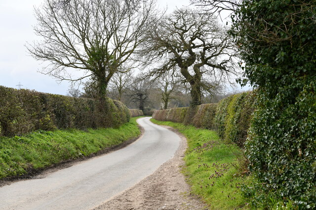
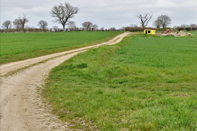
Bawburgh Hill is a small village located in the county of Norfolk, England. Situated approximately 5 miles west of Norwich, the village is nestled in a rural setting characterized by rolling hills and picturesque landscapes. Bawburgh Hill itself is an elevated area within the village, offering stunning panoramic views of the surrounding countryside.
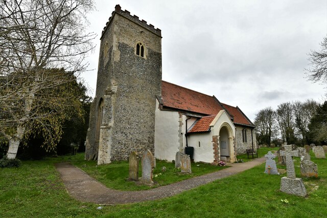
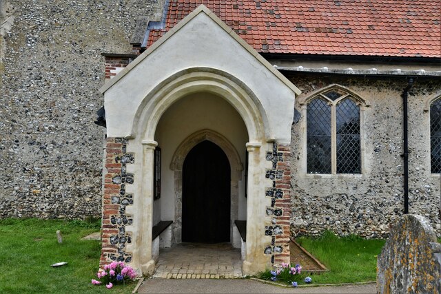
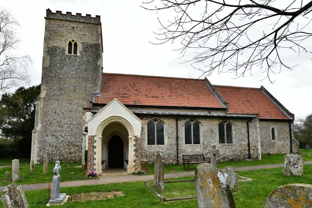
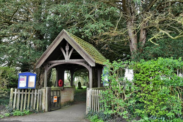
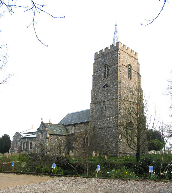
The village is known for its rich history, dating back to the Roman period. It was once a Roman settlement known as "Venta Icenorum" and remnants of a Roman fort can still be seen in the vicinity. Bawburgh Hill has also played a significant role in the Anglo-Saxon era, with the remains of a Saxon church, St. Walstan's, situated at the top of the hill.
The village is home to a close-knit community, with a population of around 500 residents. It boasts a range of amenities, including a primary school, a village hall, a pub, and a picturesque village green. The surrounding countryside offers ample opportunities for outdoor activities such as walking and cycling, with several footpaths and trails crisscrossing the area.
Bawburgh Hill is also known for its connection to the Norfolk Broads, a network of rivers and lakes located nearby. The village serves as a gateway to this popular tourist destination, attracting visitors who are eager to explore the unique wetland ecosystem and enjoy activities such as boating and birdwatching.
Overall, Bawburgh Hill is a charming village, steeped in history and surrounded by natural beauty, making it an idyllic place to live or visit in Norfolk.
If you have any feedback on the listing, please let us know in the comments section below.
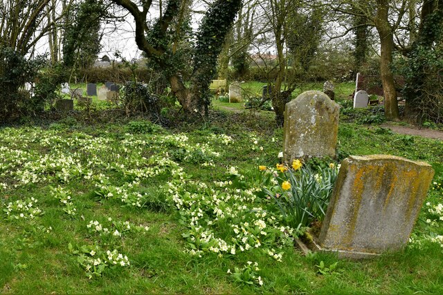
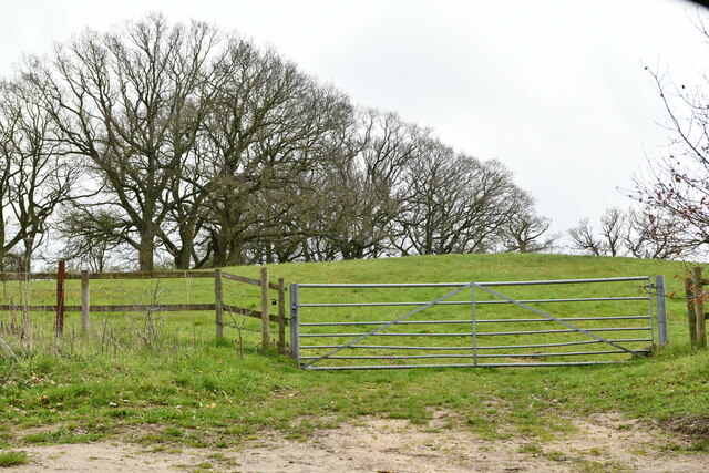
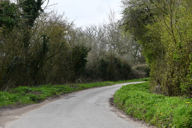
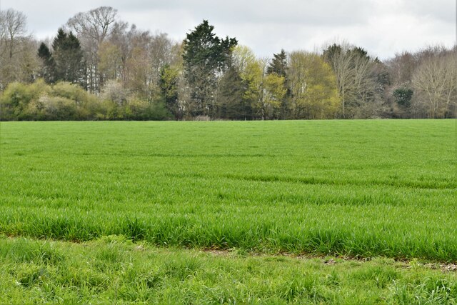
Bawburgh Hill Images
Images are sourced within 2km of 52.624306/1.1826268 or Grid Reference TG1507. Thanks to Geograph Open Source API. All images are credited.


Bawburgh Hill is located at Grid Ref: TG1507 (Lat: 52.624306, Lng: 1.1826268)
Administrative County: Norfolk
District: South Norfolk
Police Authority: Norfolk
What 3 Words
///blurred.weeknight.sunblock. Near Bowthorpe, Norfolk
Nearby Locations
Related Wikis

Bawburgh
Bawburgh () is a village and civil parish in the South Norfolk district of Norfolk, England, lying in the valley of the River Yare about 5 miles (8.0 km...

Little Melton
Little Melton is a village on the outskirts of Norwich in the South Norfolk district of Norfolk, England. It covers an area of 2.75 km2 (1.06 sq mi) and...

Norwich City F.C. Under-23s and Academy
Norwich City Under-21s and Academy is the youth organisation run by Norwich City F.C. The team is made up of under-21 and academy players and is effectively...
Quadram Institute
The Quadram Institute is a centre for food and health research, combining Quadram Institute Bioscience (formerly the Institute of Food Research), the Norfolk...
Earlham Institute
Earlham Institute (EI, formerly The Genome Analysis Centre (TGAC)) is a life science research institute located at the Norwich Research Park (NRP), Norwich...
Hethersett
Hethersett is a large village and electoral ward in the county of Norfolk, England, about 6 miles (10 km) south-west of Norwich. It covers an area of 4...

Colney
Colney () is a village in the western outskirts of Norwich in the English county of Norfolk. == History == Colney's name is of Anglo-Saxon origin and derives...

Norfolk and Norwich University Hospital
The Norfolk and Norwich University Hospital (NNUH) is a large National Health Service academic teaching hospital in the Norwich Research Park on the western...
Nearby Amenities
Located within 500m of 52.624306,1.1826268Have you been to Bawburgh Hill?
Leave your review of Bawburgh Hill below (or comments, questions and feedback).