Baveney Wood

Settlement in Shropshire

England

Baveney Wood

Welcome to England A new metaled road in Birchen Park. It links up with a pair of genuine legal bridle paths in the wood.

Normally I photograph nasty little signs like this from behind not wishing to spread their message, but on this trip I am intended to shame.
Welcome to England Credit: Richard Webb

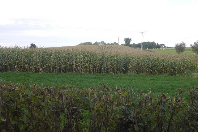
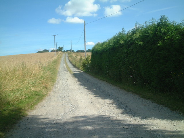
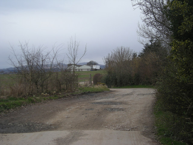
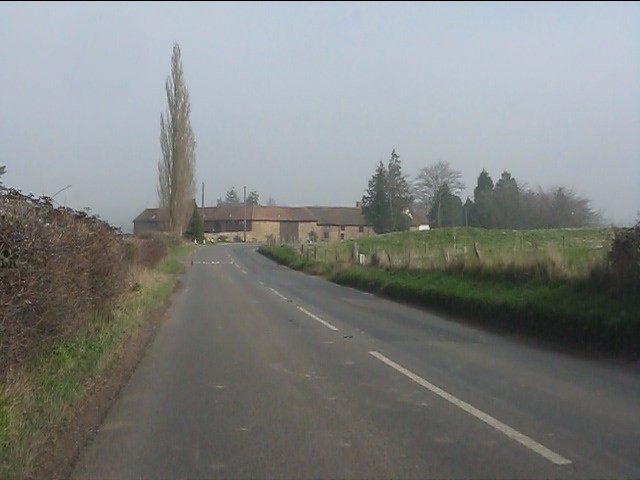
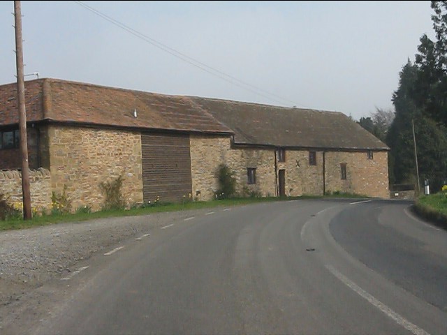
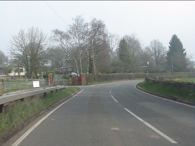
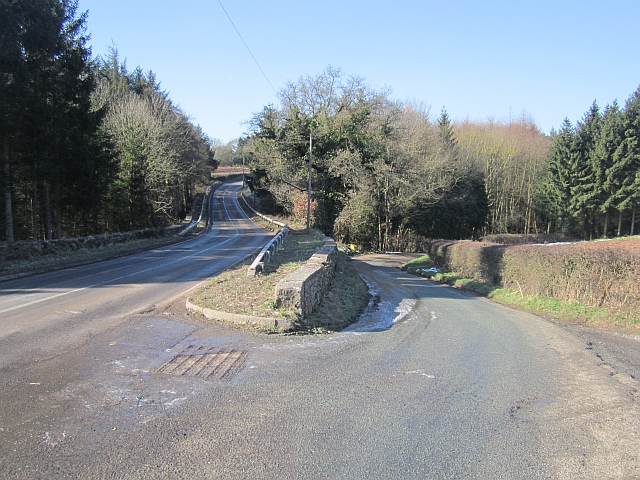
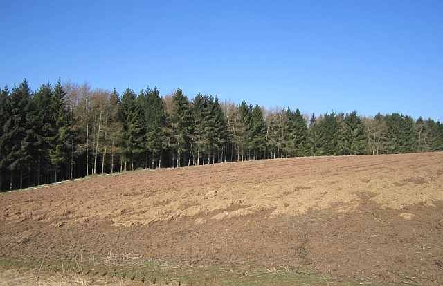
Baveney Wood is a picturesque woodland located in the county of Shropshire, England. Covering an area of approximately 100 acres, it is situated within the larger area known as the Shropshire Hills Area of Outstanding Natural Beauty. The wood is nestled in the heart of the countryside, surrounded by rolling hills, fields, and farmland.

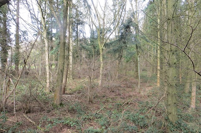
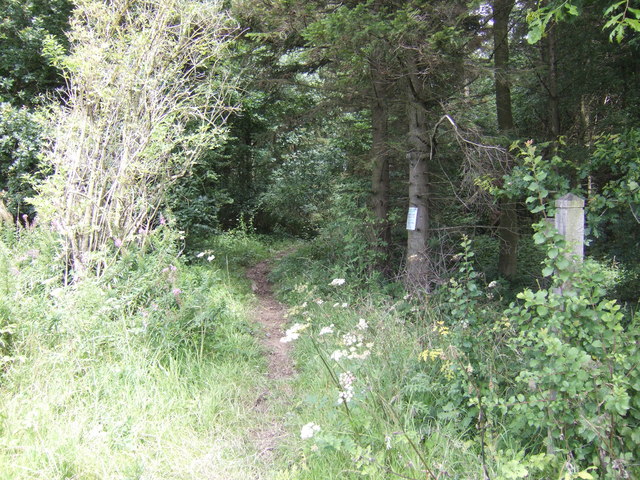
Baveney Wood is predominantly made up of mixed deciduous trees, including oak, beech, and birch, which create a diverse and vibrant ecosystem. The woodland floor is carpeted with bluebells in the spring, adding a splash of color to the enchanting surroundings.

The wood is a haven for wildlife, providing a sanctuary for various species. Visitors may spot a range of woodland creatures, such as deer, foxes, badgers, and a variety of bird species. The tranquil atmosphere of Baveney Wood makes it an ideal location for birdwatching and nature enthusiasts.

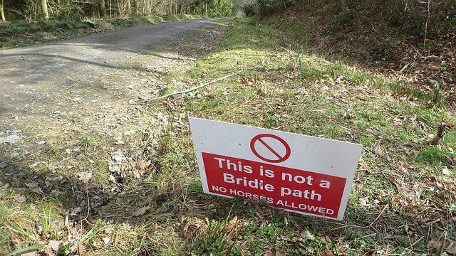
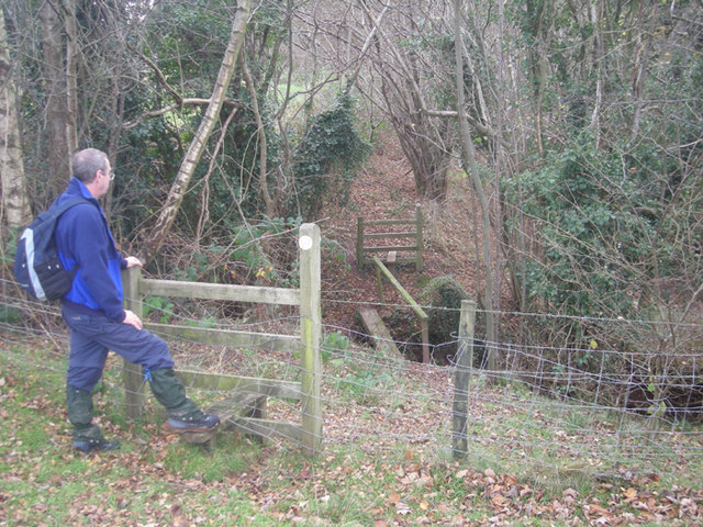
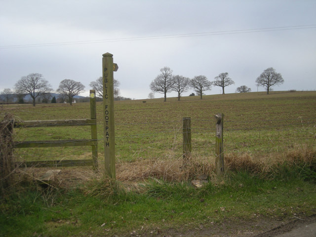
There are well-maintained footpaths and trails that allow visitors to explore the wood at their leisure. These paths wind through the trees, offering stunning views of the surrounding countryside. Baveney Wood is a popular destination for walkers, hikers, and families looking to enjoy the beauty of nature.

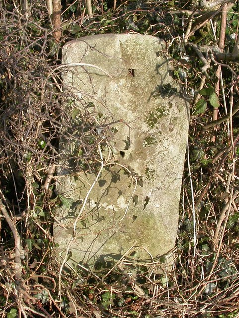
The wood is also home to historical remnants, including the remains of an old iron-age hillfort that can still be seen today. This adds a touch of historical interest to the area, attracting those interested in archeology and ancient history.

Overall, Baveney Wood is a tranquil and beautiful woodland that offers a peaceful retreat within the Shropshire countryside.

If you have any feedback on the listing, please let us know in the comments section below.

Baveney Wood Images

Images are sourced within 2km of 52.411752/-2.4450701 or Grid Reference SO6979. Thanks to Geograph Open Source API. All images are credited.

Welcome to England A new metaled road in Birchen Park. It links up with a pair of genuine legal bridle paths in the wood.

Normally I photograph nasty little signs like this from behind not wishing to spread their message, but on this trip I am intended to shame.
Welcome to England
A new metaled road in Birchen Park. It links up with a pair of genuine legal bridle paths in the wood. Normally I photograph nasty little signs like this from behind not wishing to spread their message, but on this trip I am intended to shame.
Birchen Park A mixed woodland in the fragmented northern part of the Wyre Forest.
Birchen Park
A mixed woodland in the fragmented northern part of the Wyre Forest.
Forage maize On Knowle Hill.
Forage maize
On Knowle Hill.
Old Milestone, Bardley, south of Bardley Court Stone post (plate lost) by the UC road, in parish of STOTTESDON (BRIDGNORTH District), Bardley; 13m South of Bardley Court, in hedgerow, on East side of road. Bewdley Dog Lane plate, erected by the Doglane Gate (District of Bewdley) turnpike trust in the 19th century. 

Inscription once read:-
(Bewdley 7) 

Shropshire HER listed. HER Number (PRN): 21133
<span class="nowrap"><a title="https://www.heritagegateway.org.uk/Gateway/Results_Single.aspx?uid=MSA23706&resourceID=1015" rel="nofollow ugc noopener" href="https://www.heritagegateway.org.uk/Gateway/Results_Single.aspx?uid=MSA23706&resourceID=1015">Link</a><img style="margin-left:2px;" alt="External link" title="External link - shift click to open in new window" src="https://s1.geograph.org.uk/img/external.png" width="10" height="10"/></span>

Milestone Society National ID: SA_BD07
Old Milestone, Bardley, south of Bardley Court
Stone post (plate lost) by the UC road, in parish of STOTTESDON (BRIDGNORTH District), Bardley; 13m South of Bardley Court, in hedgerow, on East side of road. Bewdley Dog Lane plate, erected by the Doglane Gate (District of Bewdley) turnpike trust in the 19th century. Inscription once read:- (Bewdley 7) Shropshire HER listed. HER Number (PRN): 21133 LinkExternal link Milestone Society National ID: SA_BD07
Farm road to Knowle Hill
Footpath into Birchen Park Wood
Stiles & footbridge on the path to Upper Bardley
Driveway to Upper Bardley
Footpath on Knowle Hill
Footpath across a corn field in August In the winter months I bring to mind walks across summer fields like this.
Footpath across a corn field in August
In the winter months I bring to mind walks across summer fields like this.
Part of the concrete driveway to Cleobury Lodge Farm A typical farm access drive, to a handsome farm house in a great setting.
Part of the concrete driveway to Cleobury Lodge Farm
A typical farm access drive, to a handsome farm house in a great setting.
Bend on the B4363
Bend on the B4363
B4363 approaching Wall Town Farm
Wall Town Farm
Wall Town Farm
B4363 at Baveney Lane junction
Telephone box, Barbrook
Road junction, Baveney A tight junction with a planning notice suggesting that it will be reengineered soon.  The B4363 will satisfy the climbing needs of the road cyclist, it is a very tortuous road in all dimensions.
Road junction, Baveney
A tight junction with a planning notice suggesting that it will be reengineered soon. The B4363 will satisfy the climbing needs of the road cyclist, it is a very tortuous road in all dimensions.
Ploughed field, Baveney
Show me another place!

Baveney Wood is located at Grid Ref: SO6979 (Lat: 52.411752, Lng: -2.4450701)

Unitary Authority: Shropshire

Police Authority: West Merica

What 3 Words

///jacket.pegs.gong. Near Cleobury Mortimer, Shropshire

Related Wikis

Kinlet

Kinlet is a small village and civil parish in the south-east of the county of Shropshire, England. The parish is on the northern edge of the Wyre Forest...

Kinlet Hall

Kinlet Hall is an 18th-century, 33,609 square feet (3,122 m2) English country house at Kinlet, Shropshire, England, now occupied by an independent day...

Bagginswood

Bagginswood is a small village, In Shropshire, near to Stottesdon. Bagginswood is set within an area of outstanding natural beauty and sits centre of a...

Cleobury Town Halt railway station

Cleobury Town Halt railway station was a station in Cleobury Mortimer, Shropshire, England. The station was opened in 1908 and closed in 1938. == References... ==

Neen Savage

Neen Savage is a civil parish and a hamlet in south east Shropshire, England. It is situated north of the small market town of Cleobury Mortimer. The River...

River Rea, Shropshire

The River Rea is a small river that flows through south east Shropshire, England. == Course == It passes just to the east of the small market town of Cleobury...

Castle Toot

Castle Toot, or Cleobury Castle, was a motte castle by the River Rea in the town of Cleobury Mortimer, Shropshire. It is a scheduled monument, first listed...

Coppicegate

Coppicegate is a small settlement in Shropshire, England. It is beside the Wyre Forest and is 10 kilometres (6 mi) northwest of Kidderminster. == External... ==

Nearby Amenities

Located within 500m of 52.411752,-2.4450701
Baveney Wood
Place: hamlet
Lat/Long: 52.4106072/-2.4454759
The data included in this document is from www.openstreetmap.org. The data is made available under ODbL.

Have you been to Baveney Wood?

Leave your review of Baveney Wood below (or comments, questions and feedback).