Ravens Rough
Wood, Forest in Shropshire
England
Ravens Rough
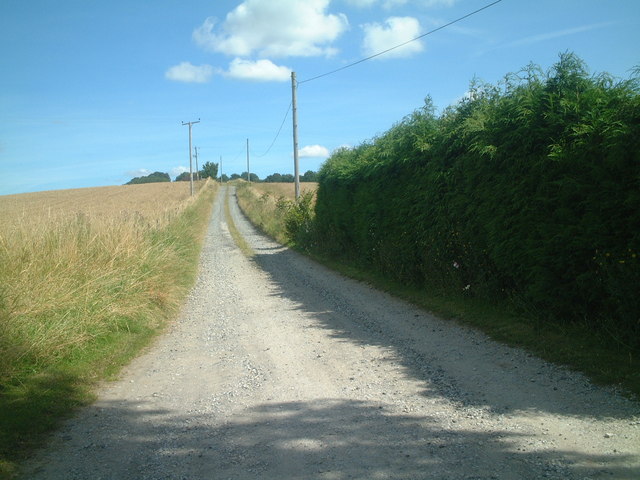
Ravens Rough is a picturesque woodland area located in the county of Shropshire, England. Nestled within the larger Shropshire Hills Area of Outstanding Natural Beauty, this forested region offers visitors a serene and enchanting experience.
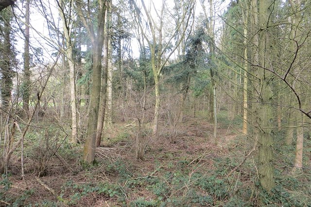
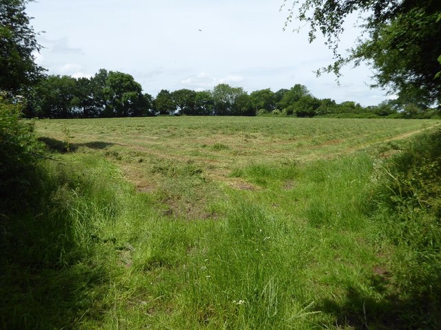
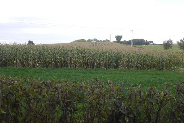
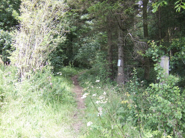
Spanning approximately 100 acres, Ravens Rough is characterized by its dense canopy of ancient oak and beech trees, which provide a haven for a diverse range of flora and fauna. The forest floor is covered with a thick carpet of mosses, ferns, and wildflowers, creating a magical atmosphere that captivates nature enthusiasts and photographers alike.
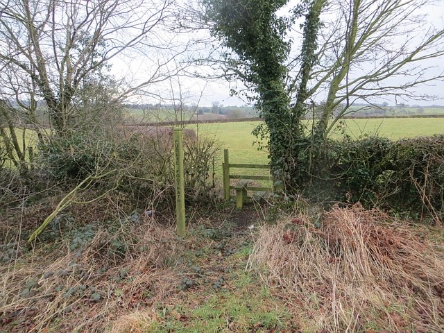
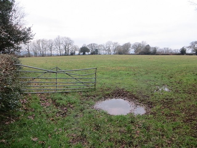
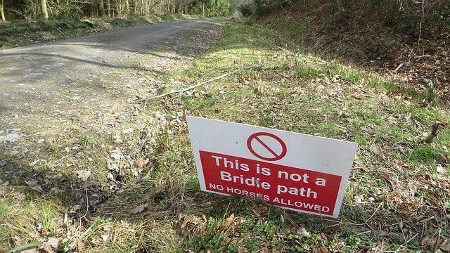
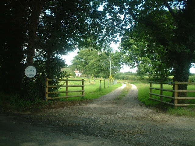
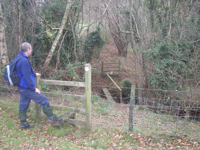
The wood is crisscrossed by a network of well-maintained walking paths, allowing visitors to explore its natural wonders at their own pace. These trails lead to hidden gems such as a tranquil babbling brook and a small pond teeming with various species of waterfowl. Nature lovers will revel in the opportunity to spot native wildlife, including elusive birds, deer, and foxes, as they roam freely in their natural habitat.
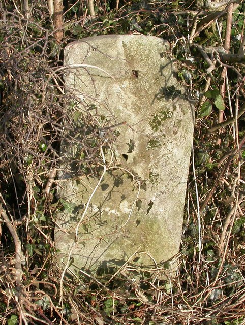
Ravens Rough holds historical significance as well, with remnants of an ancient burial mound and a medieval stone wall found within its boundaries. These archaeological treasures provide a glimpse into the area's rich past and add an element of intrigue for history enthusiasts.
Whether it's for a peaceful stroll, a spot of birdwatching, or a family picnic, Ravens Rough offers a truly immersive nature experience. With its idyllic setting and natural beauty, this woodland gem in Shropshire is a must-visit destination for anyone seeking solace in the great outdoors.
If you have any feedback on the listing, please let us know in the comments section below.
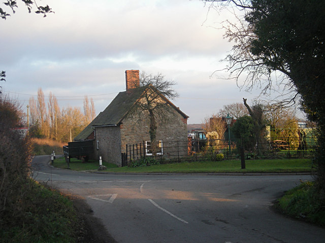
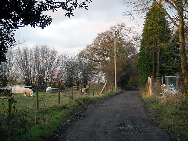
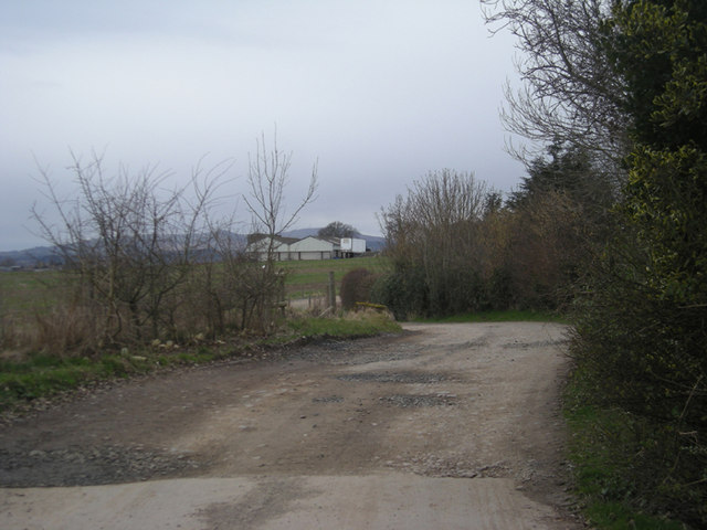
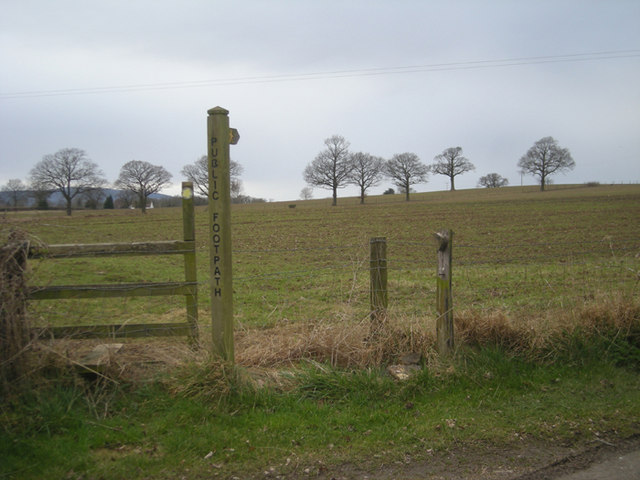
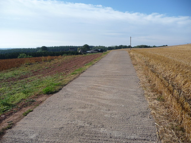
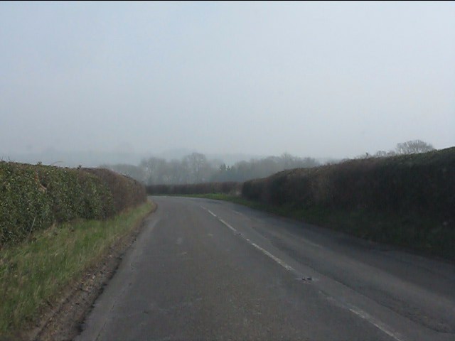
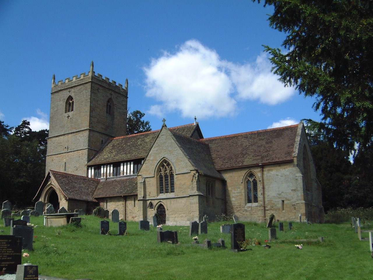
Ravens Rough Images
Images are sourced within 2km of 52.416055/-2.4483922 or Grid Reference SO6979. Thanks to Geograph Open Source API. All images are credited.
Ravens Rough is located at Grid Ref: SO6979 (Lat: 52.416055, Lng: -2.4483922)
Unitary Authority: Shropshire
Police Authority: West Mercia
What 3 Words
///imply.requires.jolt. Near Cleobury Mortimer, Shropshire
Nearby Locations
Related Wikis

Kinlet Hall
Kinlet Hall is an 18th-century, 33,609 square feet (3,122 m2) English country house at Kinlet, Shropshire, England, now occupied by an independent day...

Bagginswood
Bagginswood is a small village, In Shropshire, near to Stottesdon. Bagginswood is set within an area of outstanding natural beauty and sits centre of a...
Kinlet
Kinlet is a small village and civil parish in the south-east of the county of Shropshire, England. The parish is on the northern edge of the Wyre Forest...

Neen Savage
Neen Savage is a civil parish and a hamlet in south east Shropshire, England. It is situated north of the small market town of Cleobury Mortimer. The River...

Cleobury Town Halt railway station
Cleobury Town Halt railway station was a station in Cleobury Mortimer, Shropshire, England. The station was opened in 1908 and closed in 1938. == References... ==

Stottesdon
Stottesdon is a village and civil parish in south east Shropshire, England. The parish of Stottesdon covers a large rural area and extends over the village...

Oreton, Shropshire
Oreton is a small village in the English county of Shropshire, in the civil parish of Farlow. Oreton is on a hill overlooking the River Rea and is some...

River Rea, Shropshire
The River Rea is a small river that flows through south east Shropshire, England. == Course == It passes just to the east of the small market town of Cleobury...
Related Videos

Wellfield Pools Fishery Holiday Cottages
A look around the holiday cottages at Wellfield Pools Fishery and Holidays, which is situated in Kinlet, near both Kidderminster ...


Footjoy Stratos Golf Shoe Review
Footjoy Stratos Golf Shoe Review What I Think Releasing a spikeless golf in the winter.... it does seem odd, was there a delay in ...
Nearby Amenities
Located within 500m of 52.416055,-2.4483922Have you been to Ravens Rough?
Leave your review of Ravens Rough below (or comments, questions and feedback).