Gissing Common

Downs, Moorland in Norfolk South Norfolk

England

Gissing Common

Gissing, Wash Lane
Gissing, Wash Lane Credit: Michael Garlick

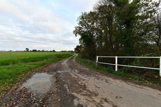
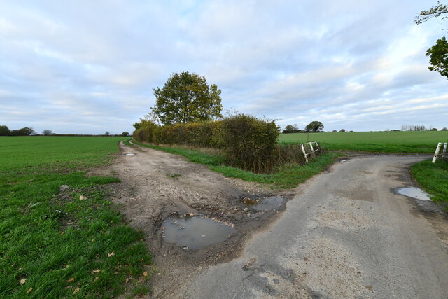
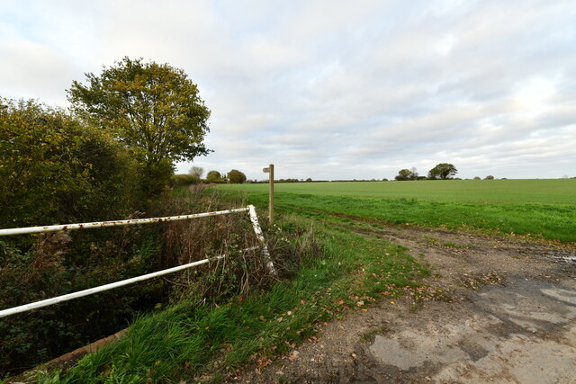
Gissing Common is a picturesque area located in Norfolk, England. Spread across approximately 300 acres, it is a stunning example of the diverse landscapes that can be found in this part of the country. The common is characterized by rolling hills, open fields, and patches of woodland, offering visitors a range of natural attractions to explore.

One of the defining features of Gissing Common is its vibrant heathland, which is covered in a variety of heather species that bloom in beautiful shades of purple during the summer months. This heathland provides a unique habitat for a range of wildlife, including rare bird species like the Dartford warbler and the nightjar.

In addition to the heathland, Gissing Common also boasts extensive areas of grassland, which attract a wide array of butterflies and other insects. These grassy areas are perfect for picnicking or simply enjoying a leisurely walk while taking in the stunning views.

The common is intersected by a number of footpaths and bridleways, making it easily accessible to both walkers and horse riders. These well-maintained pathways allow visitors to explore the common at their own pace and discover its hidden gems, such as the ancient oak trees that dot the landscape.

Gissing Common is not only a haven for nature lovers but also a site of historical significance. There are remnants of Iron Age settlements that can still be seen on the common, providing a glimpse into the area's rich past.

Overall, Gissing Common offers a peaceful and idyllic escape from the hustle and bustle of everyday life, with its diverse landscapes, abundant wildlife, and historical charm.

If you have any feedback on the listing, please let us know in the comments section below.

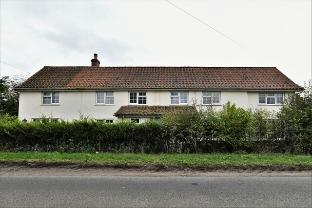
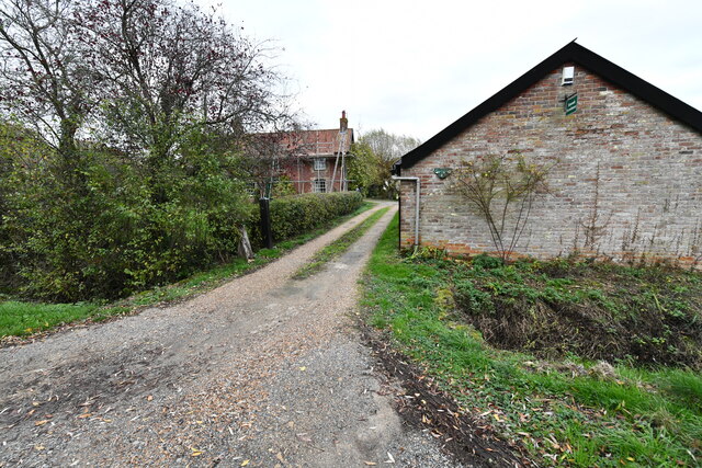
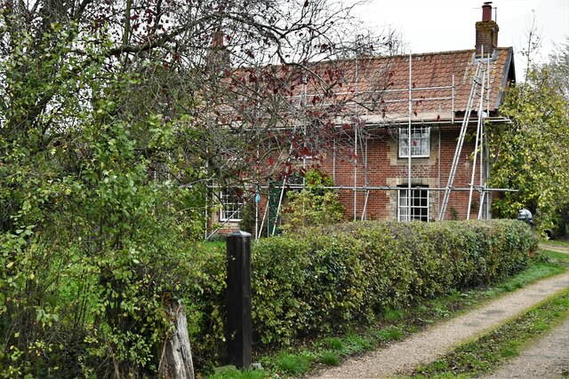
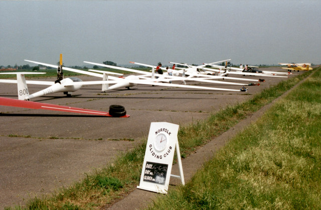
Gissing Common Images

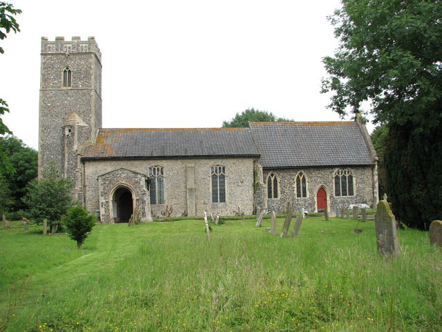
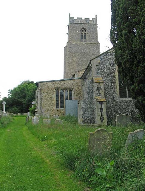
Images are sourced within 2km of 52.444889/1.1583802 or Grid Reference TM1487. Thanks to Geograph Open Source API. All images are credited.

Gissing, Wash Lane
Gissing, Wash Lane
Gissing, Wash Lane
Gissing, Wash Lane
Gissing, Back Lane: Track and public footpath
Tibenham, Long Row: 'Waterloo Cottages'
Gissing: Simond's Farmhouse
The line into Tivetshall looking south It was 120 yards south of Tivetshall crossing that the Waveney Valley Line (between the second and third gantry on the left) joined the L&NER track-bed and ran north parallel with the Up-line, crossing the road and pulled up at the curved back of the up-line island platform, to discharge and collect passengers. Continuing on and crossing the main up-line and joining the down-line would enable the train to continue on to Norwich.
Trains don't stop here anymore; instead they rush through at 100 mph. The crossing is therefore deemed to be High Risk.
The line into Tivetshall looking south
It was 120 yards south of Tivetshall crossing that the Waveney Valley Line (between the second and third gantry on the left) joined the L&NER track-bed and ran north parallel with the Up-line, crossing the road and pulled up at the curved back of the up-line island platform, to discharge and collect passengers. Continuing on and crossing the main up-line and joining the down-line would enable the train to continue on to Norwich. Trains don't stop here anymore; instead they rush through at 100 mph. The crossing is therefore deemed to be High Risk.
The former Tivetshall Station as it was in 2022 The Beccles - Tivetshall WVR platform used to be immediately in front of the camera in the empty area behind the post with the telephone. The line curved to the right and round the curved side of the 365 feet long up-line island platform.
Trains don't stop here any more; instead they rush through at 100 mph. The crossing is therefore deemed to be High Risk.
The former Tivetshall Station as it was in 2022
The Beccles - Tivetshall WVR platform used to be immediately in front of the camera in the empty area behind the post with the telephone. The line curved to the right and round the curved side of the 365 feet long up-line island platform. Trains don't stop here any more; instead they rush through at 100 mph. The crossing is therefore deemed to be High Risk.
The former Military Sidings at Tivetshall When Tivetshall became the hub of seven airfields it had to handle up to 200 wagons at a time in addition to special passenger traffic for construction workers. Four new sidings were built at Tivetshall for handling wagons of bombs, fuel trains, bitumen and concrete. Much of the traffic was then dispatched on the Waveney Valley line for further distribution, Earsham, Ellingham and Lowestoft for example.
The former Military Sidings at Tivetshall
When Tivetshall became the hub of seven airfields it had to handle up to 200 wagons at a time in addition to special passenger traffic for construction workers. Four new sidings were built at Tivetshall for handling wagons of bombs, fuel trains, bitumen and concrete. Much of the traffic was then dispatched on the Waveney Valley line for further distribution, Earsham, Ellingham and Lowestoft for example.
Tivetshall St Margaret: Station Road
Tivetshall St Margaret: Power line crossing Station Road
Gissing: High Oaks Farm
Gissing: Homefields Farm
Tivetshall St Margaret: Level crossing with engineers rectifying barrier malfunction
The Maltings, Tivetshall, Norfolk This massive industrial plant dominates the flat open fields around it. It produces malted barley, mainly for the brewing industry.
The Maltings, Tivetshall, Norfolk
This massive industrial plant dominates the flat open fields around it. It produces malted barley, mainly for the brewing industry.
Railway crossing on Hales Street This is a North facing shot of the railway crossing near the maltings at Tivetshall.
Railway crossing on Hales Street
This is a North facing shot of the railway crossing near the maltings at Tivetshall.
Gliding Competition Gliders wait their turn for a launch on Tibenham's main runway.
Gliding Competition
Gliders wait their turn for a launch on Tibenham's main runway.
Show me another place!

Gissing Common is located at Grid Ref: TM1487 (Lat: 52.444889, Lng: 1.1583802)

Administrative County: Norfolk

District: South Norfolk

Police Authority: Norfolk

What 3 Words

///tortoises.sectors.simulations. Near Dickleburgh, Norfolk

Nearby Locations

Gissing Common

Related Wikis

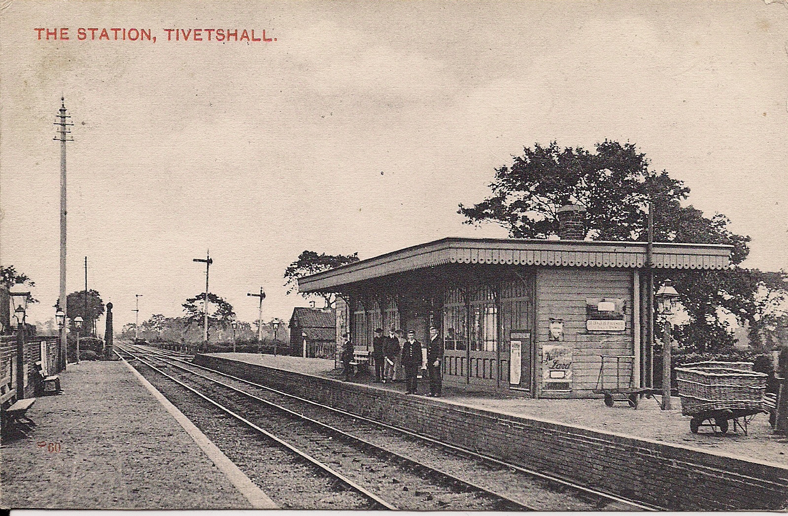
Tivetshall railway station

Tivetshall was a railway station on the Great Eastern Main Line located in Tivetshall, Norfolk. It was also the western terminus of the Waveney Valley...

Tivetshall St Margaret

Tivetshall St Margaret is a village and former civil parish, now in the parish of Tivetshall, in the South Norfolk district, in the county of Norfolk,...

Gissing, Norfolk

Gissing is a village and civil parish in Norfolk, England, about 6 miles (9.7 km) north of Diss and 15 miles (24 km) south-west of Norwich. == History... ==

Tibenham, Norfolk

Tibenham is a village and civil parish located in the Depwade district of South Norfolk, England. The parish is 2 miles (3.2 km) north west of Tivetshall...

Tivetshall

Tivetshall is a civil parish in the South Norfolk district, in the county of Norfolk, England. The parish includes the villages of Tivetshall St Margaret...

Tivetshall St Mary

Tivetshall St Mary is a village and former civil parish, now in the parish of Tivetshall, in the South Norfolk district in the county of Norfolk, England...
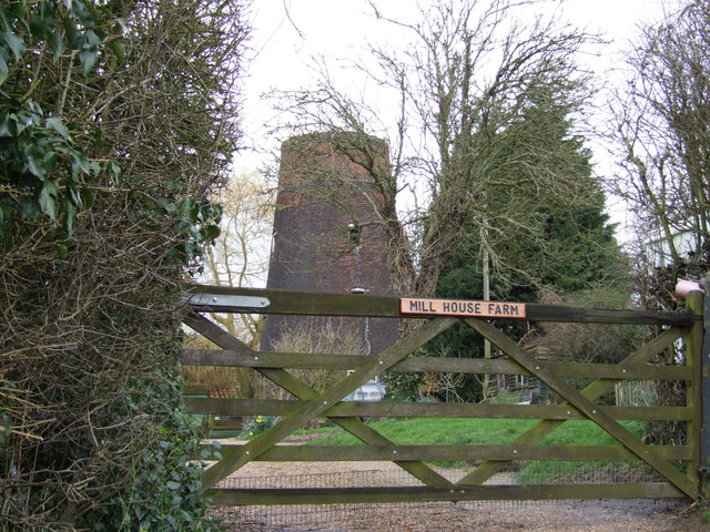
Aslacton Windmill

Aslacton Mill is a Grade II listed tower mill at Aslacton, Norfolk, England which is derelict. == History == Aslacton Mill was probably built in 1834,...
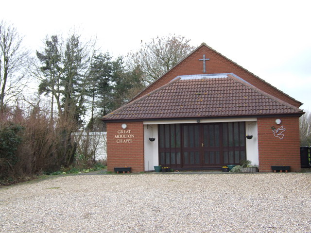
Great Moulton

Great Moulton (also known as Moulton St Michael) is a civil parish in the English county of Norfolk. Until the 16th century it also included the Little...

Nearby Amenities

Located within 500m of 52.444889,1.1583802
Power: pole
Lat/Long: 52.4440395/1.1532142
Power: pole
Lat/Long: 52.4444744/1.1513335
Power: pole
Lat/Long: 52.4436594/1.1621126
Power: pole
Lat/Long: 52.4434141/1.1559113
Power: pole
Lat/Long: 52.444234/1.1523264
Power: pole
Lat/Long: 52.4434166/1.1559501
Power: pole
Lat/Long: 52.4445234/1.1645546
Power: pole
Lat/Long: 52.4430209/1.1576184
Power: pole
Lat/Long: 52.443858/1.1543461
Power: pole
Lat/Long: 52.443652/1.1621004
Power: pole
Lat/Long: 52.4440509/1.1641791
Power: pole
Lat/Long: 52.4435196/1.16088
Power: pole
Lat/Long: 52.4432498/1.1592841
Power: pole
Lat/Long: 52.4439568/1.1537299
The data included in this document is from www.openstreetmap.org. The data is made available under ODbL.

Have you been to Gissing Common?

Leave your review of Gissing Common below (or comments, questions and feedback).