Crooked Oaks

Downs, Moorland in Norfolk Broadland

England

Crooked Oaks

Road junction in Ringland
Road junction in Ringland Credit: Ruth Sharville

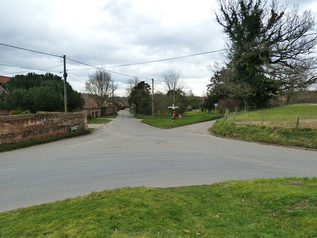
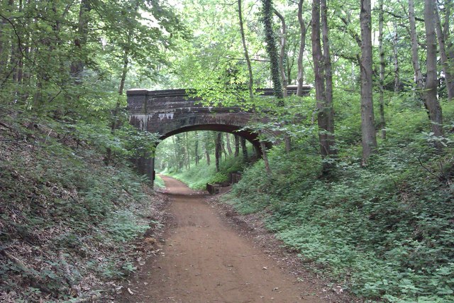
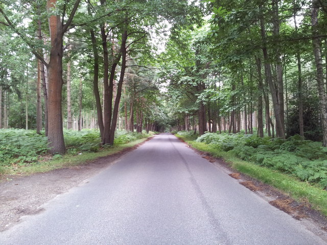
Crooked Oaks is a small village located in Norfolk, England. Situated in the region known as the Norfolk Downs, it is nestled amidst picturesque moorland. The village is known for its idyllic setting, with rolling hills, lush greenery, and charming cottages dotting the landscape.

The area offers a tranquil and peaceful environment, making it an ideal retreat for nature lovers and those seeking a break from the hustle and bustle of city life. Crooked Oaks boasts an abundance of natural beauty, with vast moorland areas that provide ample opportunities for hiking, birdwatching, and other outdoor activities.

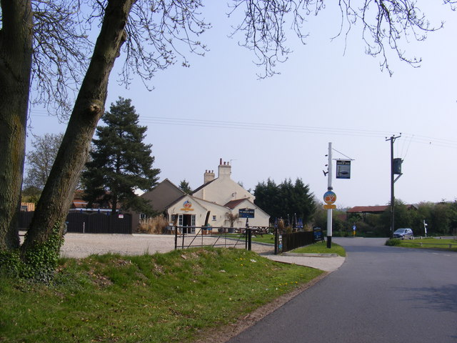
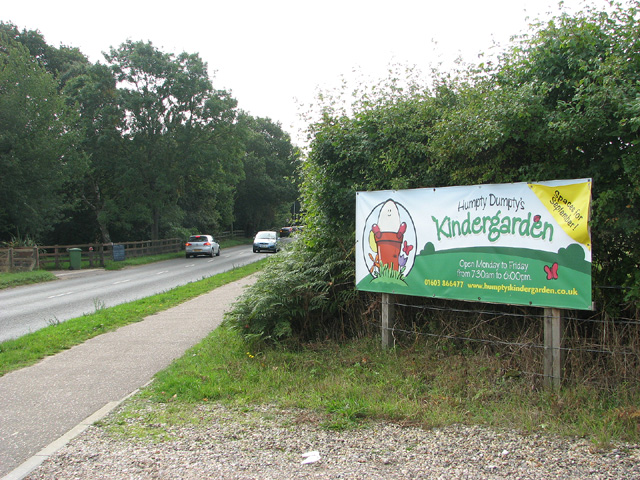
Despite its small size, the village is well-connected to neighboring towns and cities. The nearby market town of Moorland, just a short drive away, offers a range of amenities including shops, restaurants, and a vibrant community center. Additionally, the village is well-served by public transportation, with regular bus services connecting it to larger towns and cities.

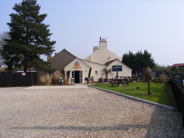
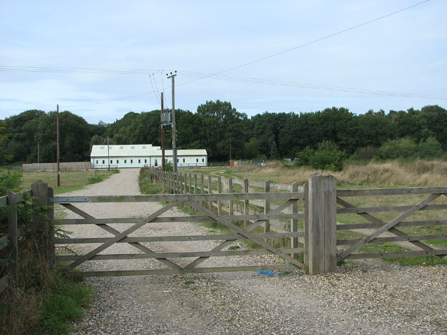
Crooked Oaks is also known for its close-knit community, with residents regularly organizing events and activities that bring people together. The village has a primary school, a church, and several community groups, fostering a strong sense of belonging and togetherness.

Overall, Crooked Oaks is a quaint village in the heart of Norfolk Downs, offering a peaceful and picturesque setting for those seeking a rural escape. With its natural beauty, close proximity to amenities, and strong community spirit, it is a place that truly embodies the charm of English village life.

If you have any feedback on the listing, please let us know in the comments section below.
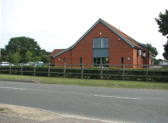
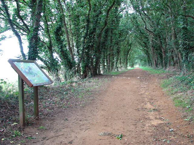
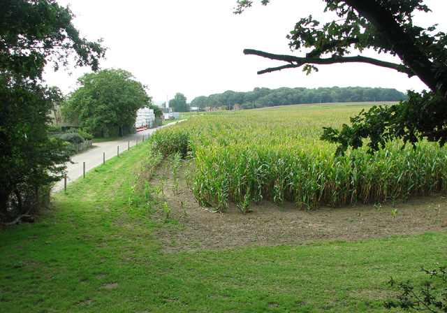
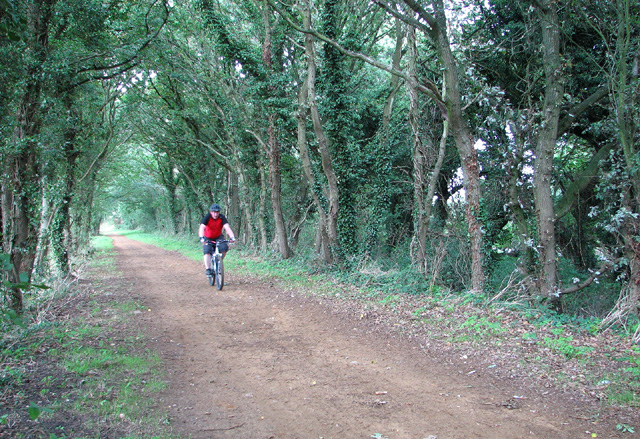
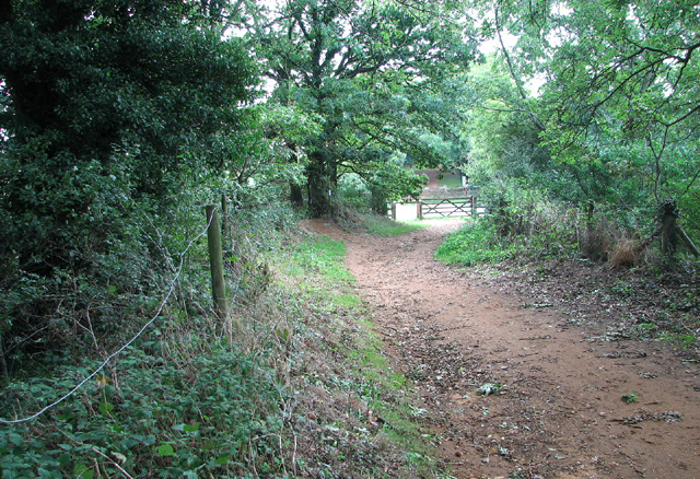
Crooked Oaks Images

Images are sourced within 2km of 52.694475/1.175831 or Grid Reference TG1415. Thanks to Geograph Open Source API. All images are credited.

Road junction in Ringland
The Swan Inn Public House Off Costessey Road at the junction of Ringland Road & The Street at Ringland
The Swan Inn Public House
Off Costessey Road at the junction of Ringland Road & The Street at Ringland
The Swan Inn Public House Off Costessey Road at the junction of Ringland Road & The Street at Ringland
The Swan Inn Public House
Off Costessey Road at the junction of Ringland Road & The Street at Ringland
The Swan Inn Public House sign Off Costessey Road
The Swan Inn Public House sign
Off Costessey Road
A1067 Fakenham Road At the junction with Beech Avenue
A1067 Fakenham Road
At the junction with Beech Avenue
Silver Fox, Taverham
Marriots Way - Taverham Photograph of a road bridge across Marriot's Way. It's a disused rail track, now a foot and cycle path that runs from Norwich to Reepham.
Marriots Way - Taverham
Photograph of a road bridge across Marriot's Way. It's a disused rail track, now a foot and cycle path that runs from Norwich to Reepham.
Road through Gilham's Heath Plantation
Fir Covert Road, Taverham
View towards Humpty Dumpty's kindergarden, Taverham
Taverham veterinary clinic
Mariott's Way by Freeland Corner
Access road to Spring Farm
Cyclist on Marriott's Way
To Freeland Corner on Marriott's Way
Bridge on Ringland Road Over the River Wensum
Road No.C172
Bridge on Ringland Road
Over the River Wensum Road No.C172
Ringland Road & West Lodge At the entrance to Taverham Hall School & Taverham Hall Farm
<span class="nowrap"><a title="www.taverhamhall.co.uk" rel="nofollow ugc noopener" href="http://www.taverhamhall.co.uk">Link</a><img style="margin-left:2px;" alt="External link" title="External link - shift click to open in new window" src="https://s1.geograph.org.uk/img/external.png" width="10" height="10"/></span>
Ringland Road & West Lodge
At the entrance to Taverham Hall School & Taverham Hall Farm LinkExternal link
Entrance to Taverham Hall School Off Ringland Road near West Lodge
<span class="nowrap"><a title="www.taverhamhall.co.uk" rel="nofollow ugc noopener" href="http://www.taverhamhall.co.uk">Link</a><img style="margin-left:2px;" alt="External link" title="External link - shift click to open in new window" src="https://s1.geograph.org.uk/img/external.png" width="10" height="10"/></span>
Entrance to Taverham Hall School
Off Ringland Road near West Lodge LinkExternal link
Show me another place!

Crooked Oaks is located at Grid Ref: TG1415 (Lat: 52.694475, Lng: 1.175831)

Administrative County: Norfolk

District: Broadland

Police Authority: Norfolk

What 3 Words

///estimates.enrolling.without. Near Horsford, Norfolk

Related Wikis

Taverham High School

Taverham High School is a secondary school and sixth form with academy status, located in Taverham in the English county of Norfolk. As well as serving...

1966 Felthorpe Trident crash

On 3 June 1966, a newly built Hawker Siddeley Trident jetliner crashed during a pre-delivery test flight near the village of Felthorpe, Norfolk, England...

Taverham Hall School

Taverham Hall School was a private co-educational day and boarding preparatory school. Situated in Taverham, Norfolk, it was founded in 1920. The school...
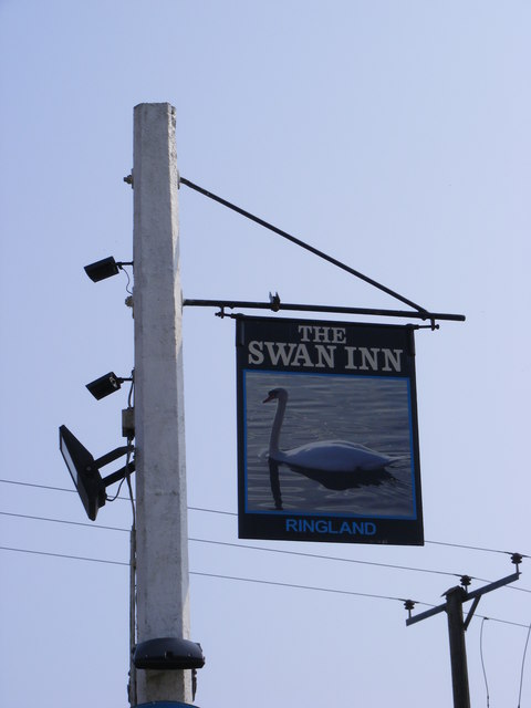
Ringland, Norfolk

Ringland is a village and civil parish in Norfolk, England, and in the valley of the River Wensum, approximately 7 miles (11 km) north-west of Norwich...

Taverham

Taverham is a village and civil parish in Norfolk, in England. It is approximately 5 miles (8 km) north-west of Norwich. Taverham sits on the River Wensum...

Attlebridge

Attlebridge is a village and civil parish in the English county of Norfolk. It is situated about 8 miles (13 km) north-west of Norwich, where the A1067...

Swannington Upgate Common

Swannington Upgate Common is a 20.5-hectare (51-acre) biological Site of Special Scientific Interest north-west of Norwich in Norfolk.This site has varied...

Attlebridge railway station

Attlebridge railway station is a closed station in Norfolk, England. It served the small village of Attlebridge. It was constructed by the Midland and...

Nearby Amenities

Located within 500m of 52.694475,1.175831
Note: (16 Dec 2017) Way ends with no signposting. Dual carriageway obstructs PRoW with three crash barriers and wood fence.
Lat/Long: 52.6943013/1.1796005
Barrier: block
Lat/Long: 52.6946167/1.1712864
Note: (16 Dec 2017) Signpost here (probably incorrectly) indicates a restricted byway going East and South (into a fence) and also a bridleway to the East. No provision for the byway to cross the main road.
Lat/Long: 52.6946893/1.1791375
Crossing
Crossing: uncontrolled
Crossing Island: no
Tactile Paving: no
Lat/Long: 52.6939042/1.1751456
Crossing
Crossing: uncontrolled
Crossing Island: no
Tactile Paving: no
Lat/Long: 52.6940312/1.17519
Access: agricultural
Barrier: block
Foot: yes
Material: dirt
Lat/Long: 52.6954902/1.1699099
Power: pole
Lat/Long: 52.6945953/1.1794109
Power: pole
Lat/Long: 52.6943405/1.1796516
Power: pole
Lat/Long: 52.6939439/1.1801425
Power: pole
Lat/Long: 52.6932871/1.1808827
Power: pole
Lat/Long: 52.6926629/1.1816901
Access: agricultural
Barrier: block
Foot: yes
Material: dirt
Lat/Long: 52.6953679/1.1697677
Marker: post
Utility: gas
Lat/Long: 52.6931295/1.1776058
Colour: red and white
Marker: aerial
Utility: gas
Lat/Long: 52.6930667/1.1772684
The data included in this document is from www.openstreetmap.org. The data is made available under ODbL.

Have you been to Crooked Oaks?

Leave your review of Crooked Oaks below (or comments, questions and feedback).