Juniper Valley
Valley in Norfolk Broadland
England
Juniper Valley
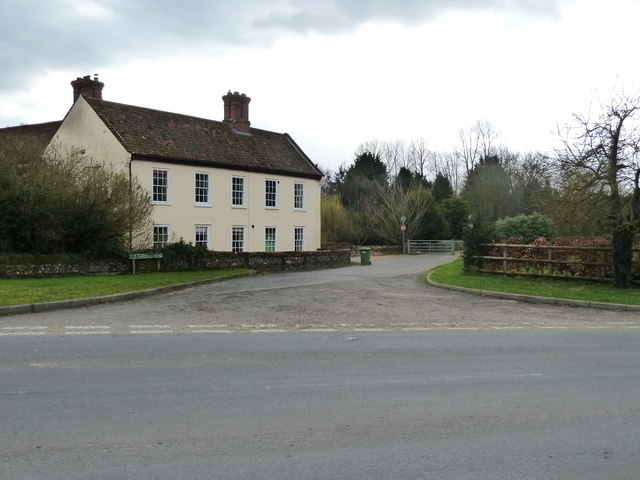
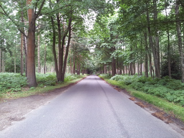
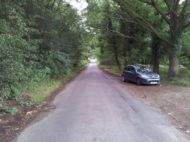
Juniper Valley, Norfolk, commonly referred to as Valley, is a small, picturesque village located in the county of Norfolk, England. Situated in the stunning Waveney Valley, it is nestled amidst rolling hills, lush green fields, and meandering rivers, creating an idyllic countryside setting.
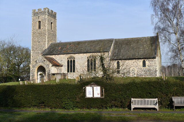
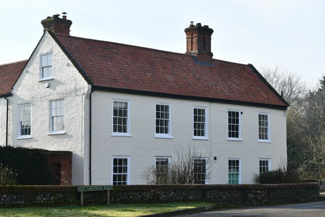
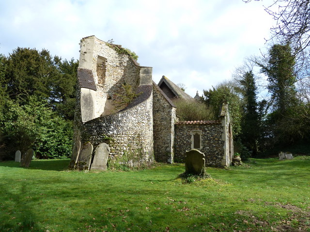
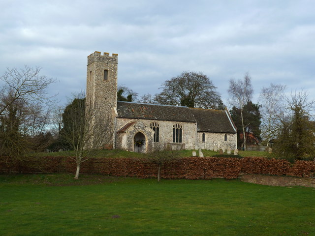
The village is home to a close-knit community that takes pride in its rich history and natural beauty. Juniper Valley dates back to medieval times and still retains much of its original charm with its well-preserved thatched cottages and historic buildings. The village church, St. Mary's, is a notable architectural gem, displaying a mix of Norman and Gothic influences.
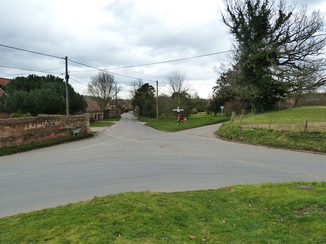
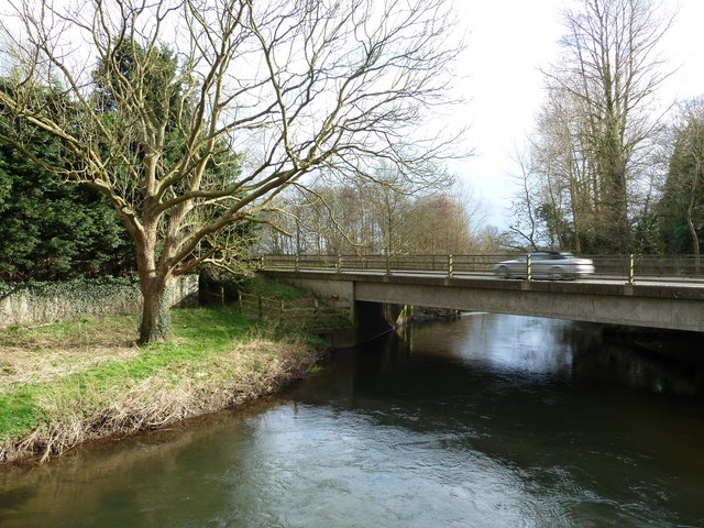
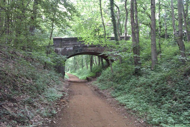
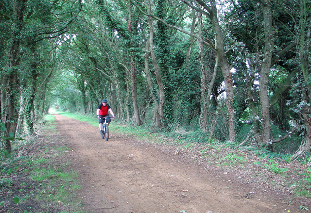
Nature lovers are drawn to Juniper Valley for its abundant wildlife and stunning landscapes. The surrounding countryside offers numerous walking and cycling trails, allowing visitors to explore the picturesque meadows, woodlands, and riverbanks. The Juniper River, which runs through the village, is a popular spot for fishing, boating, and picnicking.
The village boasts a few amenities to cater to its residents and visitors. There is a cozy village pub, The Juniper Inn, where locals gather to enjoy a pint and hearty meals. A small convenience store provides everyday necessities, while a charming tea room offers a delightful spot to relax and enjoy a cup of tea and homemade cakes.
Juniper Valley is also known for its community events, including a lively summer fair and an annual village fete, which bring together residents and visitors alike. The welcoming atmosphere and natural beauty of Juniper Valley make it an appealing destination for those seeking a peaceful retreat in the heart of the Norfolk countryside.
If you have any feedback on the listing, please let us know in the comments section below.
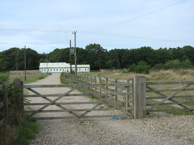
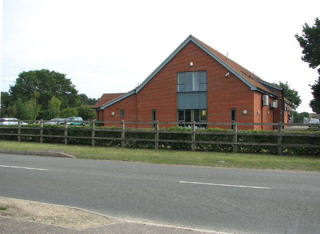
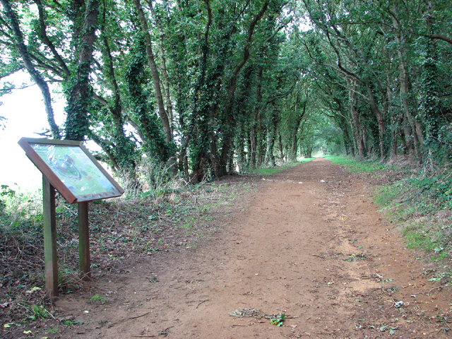
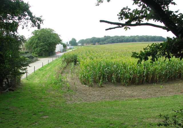
Juniper Valley Images
Images are sourced within 2km of 52.697261/1.1705119 or Grid Reference TG1415. Thanks to Geograph Open Source API. All images are credited.

Juniper Valley is located at Grid Ref: TG1415 (Lat: 52.697261, Lng: 1.1705119)
Administrative County: Norfolk
District: Broadland
Police Authority: Norfolk
What 3 Words
///crossings.losing.sneezed. Near Horsford, Norfolk
Nearby Locations
Related Wikis

1966 Felthorpe Trident crash
On 3 June 1966, a newly built Hawker Siddeley Trident jetliner crashed during a pre-delivery test flight near the village of Felthorpe, Norfolk, England...

Taverham High School
Taverham High School is a secondary school and sixth form with academy status, located in Taverham in the English county of Norfolk. As well as serving...

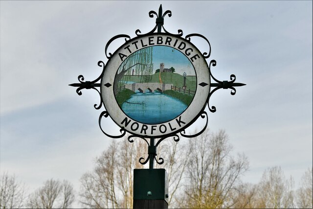
Attlebridge
Attlebridge is a village and civil parish in the English county of Norfolk. It is situated about 8 miles (13 km) north-west of Norwich, where the A1067...

Ringland, Norfolk
Ringland is a village and civil parish in Norfolk, England, and in the valley of the River Wensum, approximately 7 miles (11 km) north-west of Norwich...
Taverham Hall School
Taverham Hall School was a private co-educational day and boarding preparatory school. Situated in Taverham, Norfolk, it was founded in 1920. The school...

Attlebridge railway station
Attlebridge railway station is a closed station in Norfolk, England. It served the small village of Attlebridge. It was constructed by the Midland and...

Swannington Upgate Common
Swannington Upgate Common is a 20.5-hectare (51-acre) biological Site of Special Scientific Interest north-west of Norwich in Norfolk.This site has varied...

Morton on the Hill
Morton on the Hill is a small but scattered village and civil parish in the English county of Norfolk, about 8 miles (13 km) north-west of Norwich. The...
Nearby Amenities
Located within 500m of 52.697261,1.1705119Have you been to Juniper Valley?
Leave your review of Juniper Valley below (or comments, questions and feedback).