Olantigh Park
Downs, Moorland in Kent Ashford
England
Olantigh Park
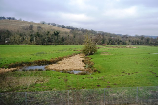
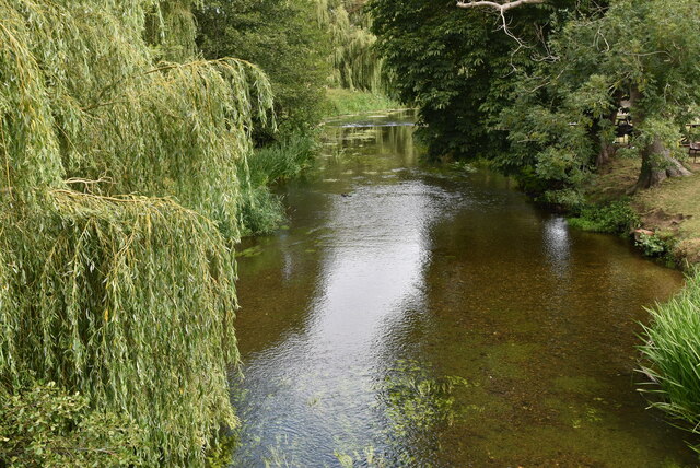
Olantigh Park, located in Kent, England, is a picturesque estate spanning across acres of beautiful countryside. Situated within the Downs and Moorland region, it boasts breathtaking views and offers a tranquil escape from the bustling city life.
The park is renowned for its rolling hills, expansive meadows, and vibrant woodlands, creating a diverse habitat for a variety of flora and fauna. Visitors can explore the extensive network of well-maintained trails that wind through the park, providing ample opportunities for hiking, cycling, and horse riding.
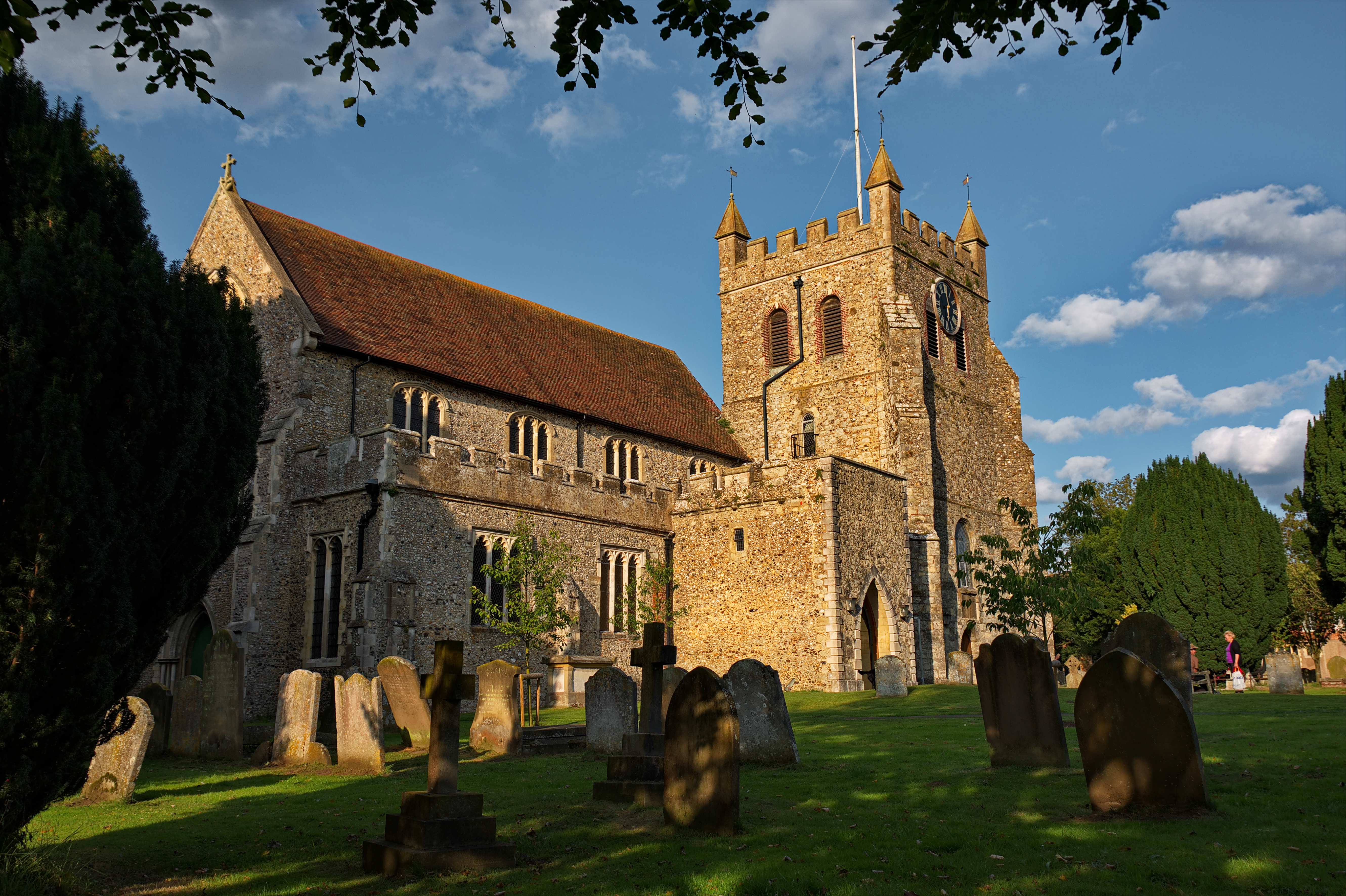
The centerpiece of Olantigh Park is the magnificent Olantigh House, a Grade II listed Georgian mansion. With its elegant architecture and grandeur, the house serves as a reminder of the area's rich history. Originally built in the 18th century, it has undergone several renovations over the years, but still retains much of its original charm.
In addition to its natural beauty and historical significance, Olantigh Park offers recreational facilities for visitors to enjoy. There are well-equipped picnic areas, perfect for enjoying a leisurely lunch surrounded by nature. The park also has a children's play area, providing entertainment for the younger visitors.
Overall, Olantigh Park in Kent provides a haven for nature enthusiasts, history buffs, and families alike. Its stunning landscapes, coupled with the grandeur of Olantigh House, make it an ideal destination for a day out or a weekend getaway.
If you have any feedback on the listing, please let us know in the comments section below.
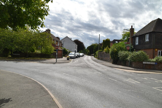
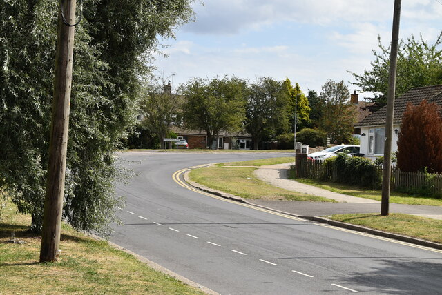
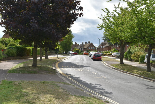
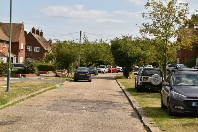
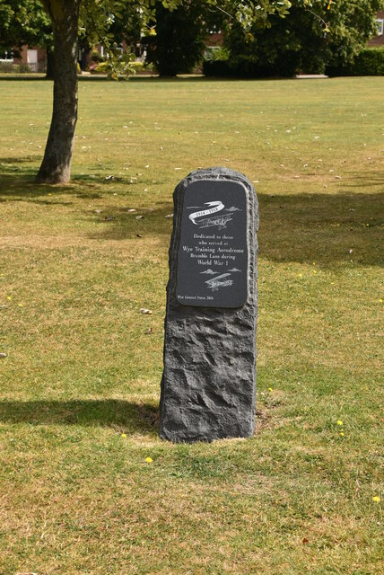
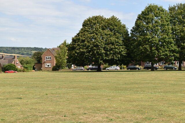
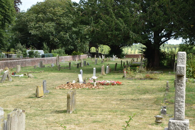
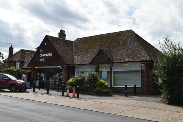
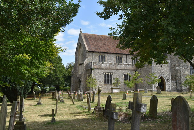
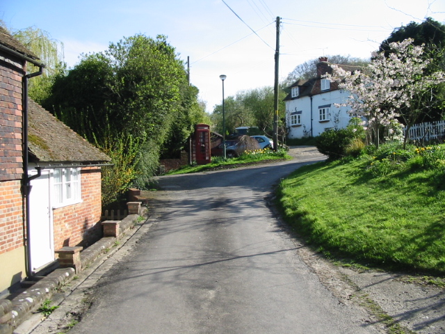
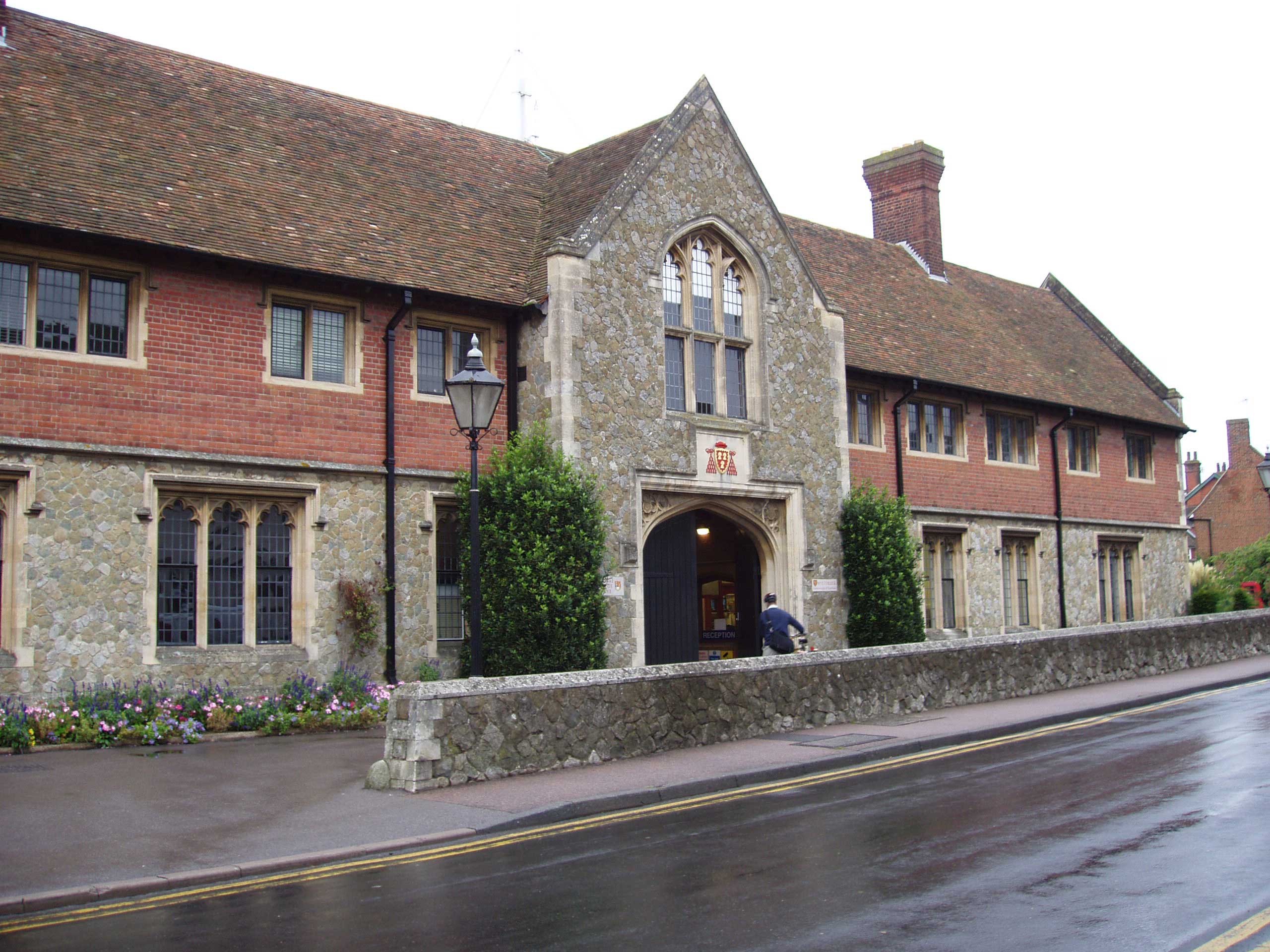
Olantigh Park Images
Images are sourced within 2km of 51.196536/0.95130772 or Grid Reference TR0648. Thanks to Geograph Open Source API. All images are credited.
![Wye Village sign King George VI recommended that the old custom of identifying villages with carved or painted name signs could be revived. In 1920, Biddenden had won a Daily Mail competition for a sign featuring the two Biddenden Maids.
More villages followed, especially in 1953, the Coronation of Queen Elizabeth II. More signs have been put up due to the Millennium. This has meant half of the county villages are identified.]
See also <a title="https://www.geograph.org.uk/article/Kent-Village-Signs" href="https://www.geograph.org.uk/article/Kent-Village-Signs">Link</a> , an article on Kent Village Signs](https://s2.geograph.org.uk/geophotos/06/95/08/6950822_1e7841a0.jpg)
Olantigh Park is located at Grid Ref: TR0648 (Lat: 51.196536, Lng: 0.95130772)
Administrative County: Kent
District: Ashford
Police Authority: Kent
What 3 Words
///ditched.diamond.corrects. Near Wye, Kent
Nearby Locations
Related Wikis
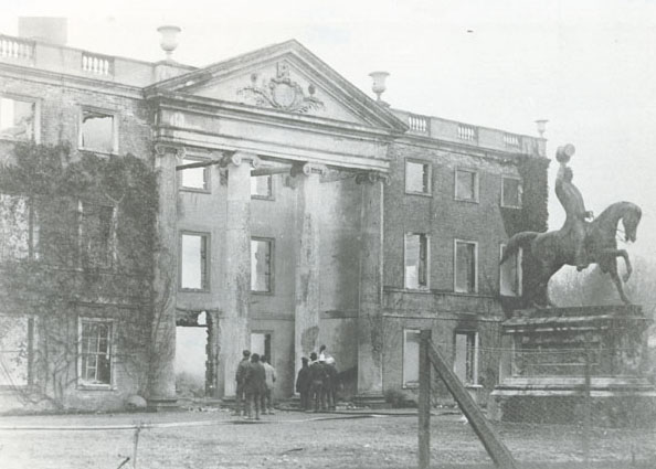
Olantigh
Olantigh is an English house 1 mile (1.6 km) north of Wye in the civil parish of Wye with Hinxhill.The garden terraces and towered stable block were Grade...

Bilting
Bilting is a hamlet within the civil parish of Godmersham in the Ashford District of Kent, England. It stretches along the A28 at the foot of the Godmersham...
Crundale, Kent
Crundale is a mostly rural village and civil parish in the Ashford District of Kent in southeast England. The village covers a section of one of the dual...
Wye School
Wye School is a British, mixed, secondary, free school in Wye, Kent. As of 2022, it is operated by United Learning. == History == Wye School opened in...
Wye College
The College of St Gregory and St Martin at Wye, commonly known as Wye College, was an education and research institution in the village of Wye, Kent. In...
Wye, Kent
Wye is a village and former civil parish, now in the parish of Wye with Hinxhill, in the Ashford district, in Kent, England, 5 miles (8.0 km) from Ashford...

Wye with Hinxhill
Wye with Hinxhill is a hillside civil parish in the borough of Ashford northeast of Ashford, Kent itself, centred 3.7 miles (6.0 km) NNE of the town centre...

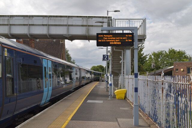
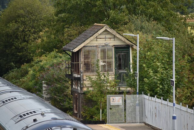
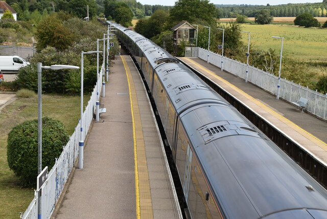
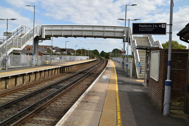
Wye railway station
Wye railway station serves Wye in Kent, England, on the Ashford to Ramsgate line. The station and all trains that serve the station are operated by Southeastern...
Nearby Amenities
Located within 500m of 51.196536,0.95130772Have you been to Olantigh Park?
Leave your review of Olantigh Park below (or comments, questions and feedback).