Black Edge Wood
Wood, Forest in Kent Ashford
England
Black Edge Wood
Black Edge Wood is a picturesque woodland located in the county of Kent, England. Nestled in the heart of the Kent Downs Area of Outstanding Natural Beauty, this enchanting forest covers an area of approximately 100 acres. It is situated near the village of Wrotham, just a short distance from the bustling town of Sevenoaks.
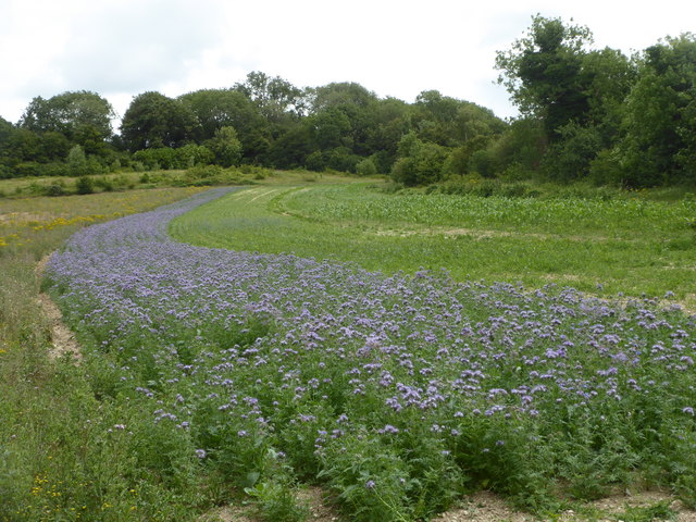
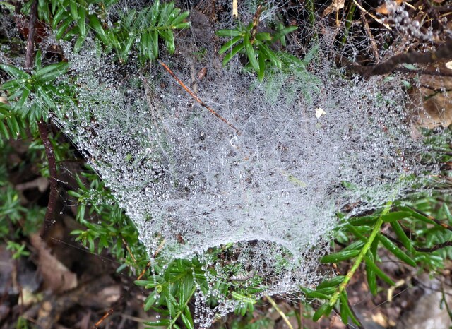
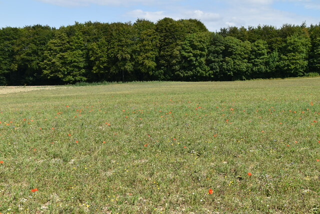
The woodland is predominantly composed of ancient oak trees, creating a dense and mystical atmosphere. The forest floor is blanketed with a rich carpet of ferns, bluebells, and various wildflowers, adding to the natural beauty of the area. The verdant canopy of the trees provides shelter for a diverse range of wildlife, including deer, foxes, badgers, and a variety of bird species.
Black Edge Wood offers a tranquil escape from the stresses of modern life, making it a popular destination for nature enthusiasts, walkers, and photographers. There are several well-maintained footpaths winding through the wood, allowing visitors to explore the area at their own pace. These paths lead to breathtaking viewpoints, offering panoramic vistas of the surrounding countryside.
In addition to its natural charm, Black Edge Wood also holds historical significance. It is believed to have been part of the ancient Wrotham Forest, which was once a royal hunting ground. Remnants of medieval earthworks and ancient boundary markers can still be found within the woodland, providing a glimpse into its past.
Overall, Black Edge Wood is a captivating destination that combines natural beauty, wildlife diversity, and historical significance. It is a haven for those seeking solace in nature and an opportunity to immerse themselves in the timeless beauty of the Kentish countryside.
If you have any feedback on the listing, please let us know in the comments section below.
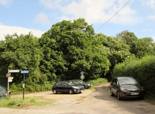
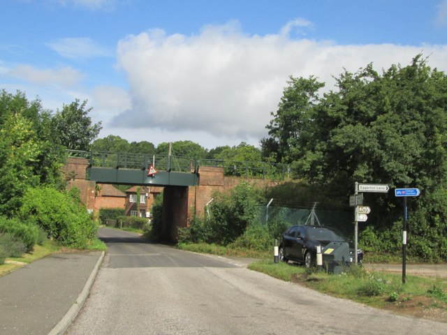
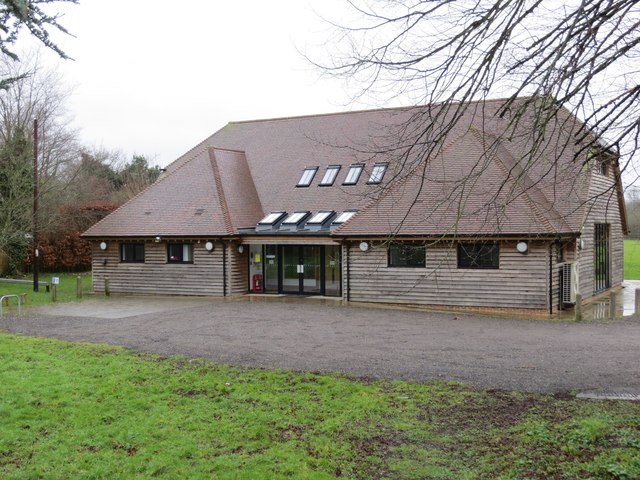
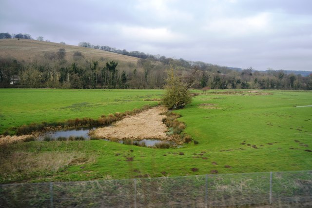
Black Edge Wood Images
Images are sourced within 2km of 51.202369/0.96111573 or Grid Reference TR0648. Thanks to Geograph Open Source API. All images are credited.


Black Edge Wood is located at Grid Ref: TR0648 (Lat: 51.202369, Lng: 0.96111573)
Administrative County: Kent
District: Ashford
Police Authority: Kent
What 3 Words
///precluded.betrayed.deluded. Near Wye, Kent
Nearby Locations
Related Wikis
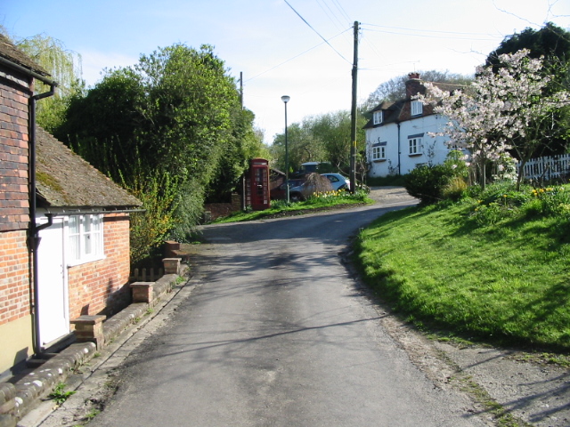
Crundale, Kent
Crundale is a mostly rural village and civil parish in the Ashford District of Kent in southeast England. The village covers a section of one of the dual...
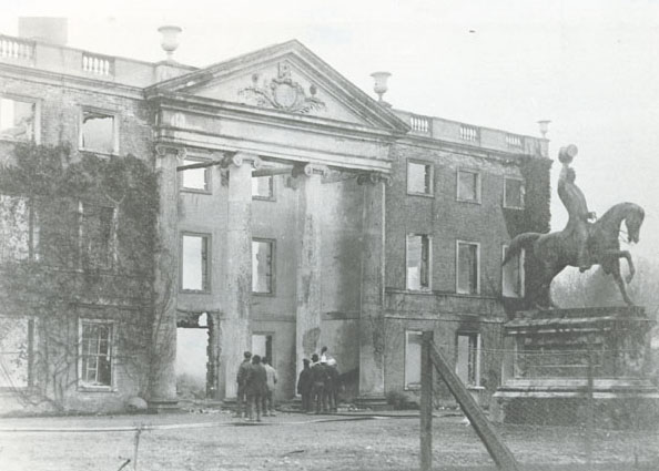
Olantigh
Olantigh is an English house 1 mile (1.6 km) north of Wye in the civil parish of Wye with Hinxhill.The garden terraces and towered stable block were Grade...

Stour Valley Walk
The Stour Valley Walk is a recreational walking route that follows the River Stour, through the Low Weald and Kent Downs, from its source at Lenham to...

Bilting
Bilting is a hamlet within the civil parish of Godmersham in the Ashford District of Kent, England. It stretches along the A28 at the foot of the Godmersham...

Godmersham
Godmersham is a village and civil parish in the Ashford District of Kent, England. The village straddles the Great Stour river where it cuts through the...
Wye School
Wye School is a British, mixed, secondary, free school in Wye, Kent. As of 2022, it is operated by United Learning. == History == Wye School opened in...
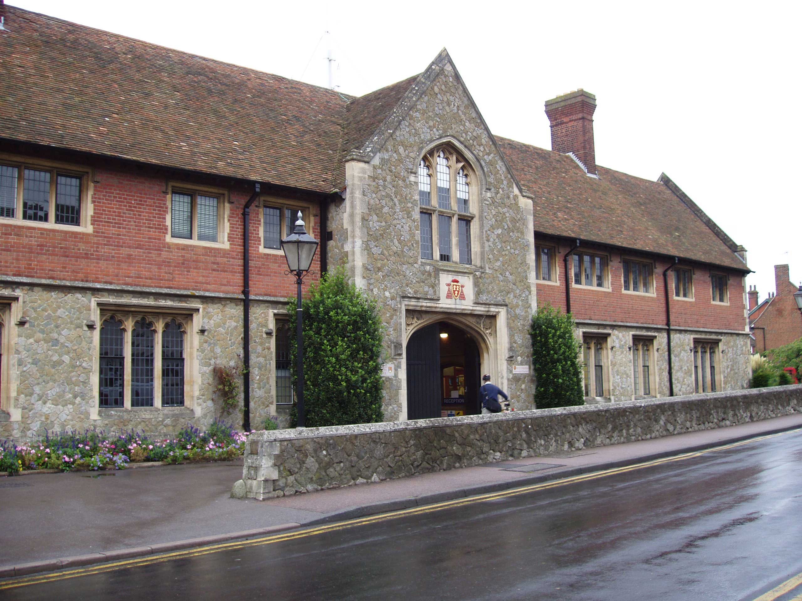
Wye College
The College of St Gregory and St Martin at Wye, commonly known as Wye College, was an education and research institution in the village of Wye, Kent. In...
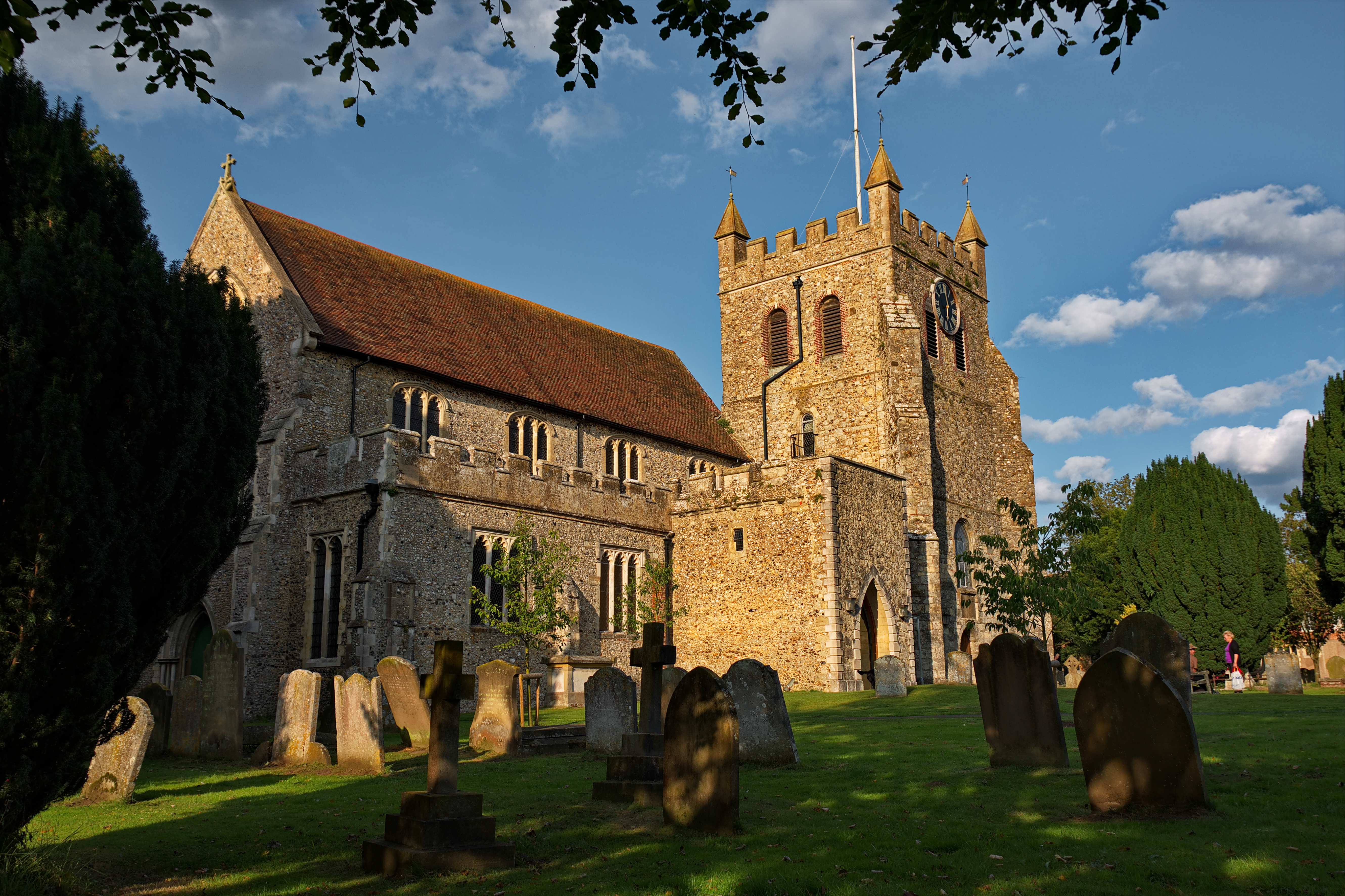
Wye, Kent
Wye is a village and former civil parish, now in the parish of Wye with Hinxhill, in the Ashford district, in Kent, England, 5 miles (8.0 km) from Ashford...
Nearby Amenities
Located within 500m of 51.202369,0.96111573Have you been to Black Edge Wood?
Leave your review of Black Edge Wood below (or comments, questions and feedback).