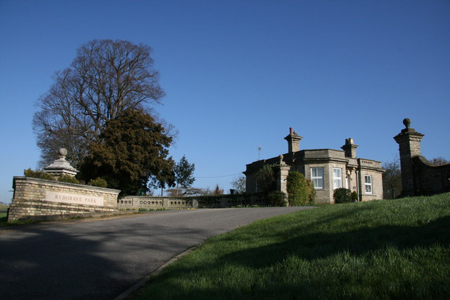
Redgrave Park
Downs, Moorland in Suffolk Mid Suffolk
England
Redgrave Park
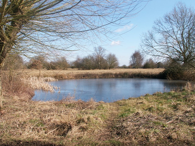
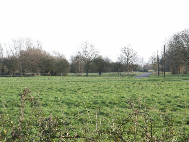
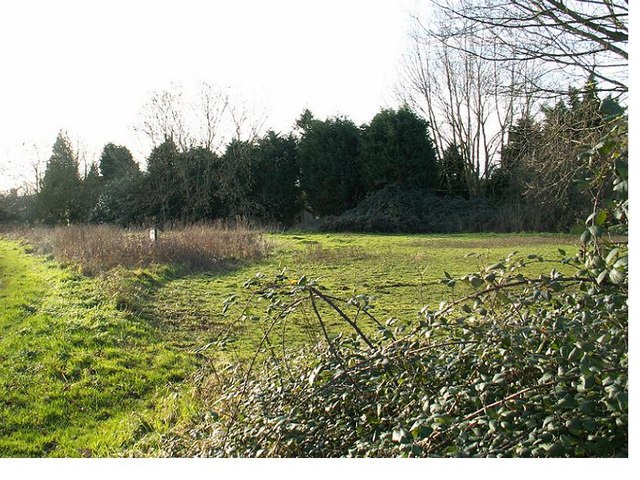
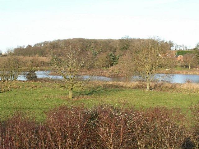
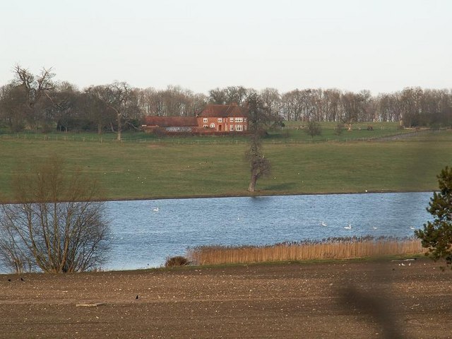
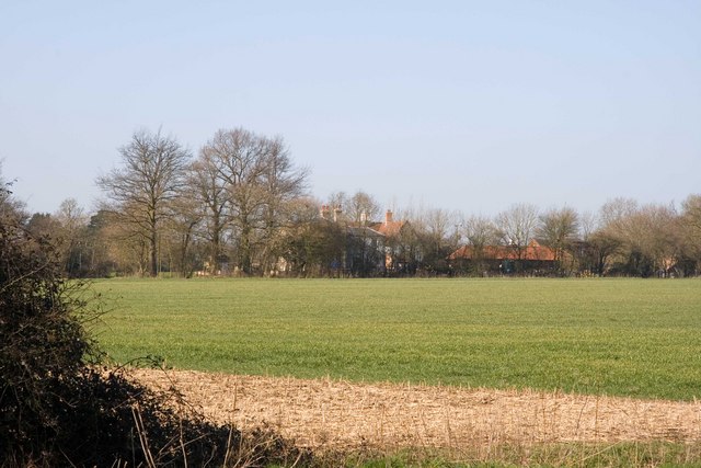
Redgrave Park is a picturesque nature reserve located in Suffolk, England. It covers an area of approximately 80 hectares and is known for its diverse ecosystems, including downs and moorland. The park offers visitors a unique opportunity to explore and immerse themselves in the beauty of the natural world.
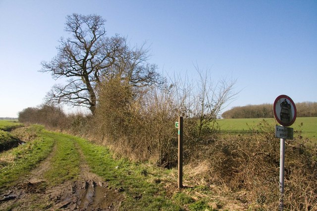
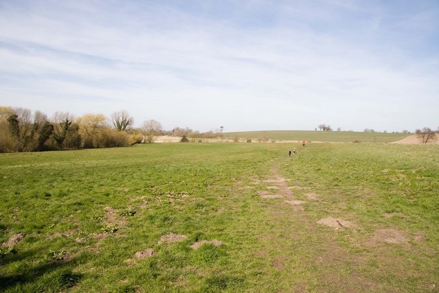
The downs in Redgrave Park are characterized by rolling hills covered in grassland. These open spaces provide habitats for a variety of plant and animal species, including wildflowers, butterflies, and birds. Walking along the downs, visitors can enjoy breathtaking views of the surrounding countryside.
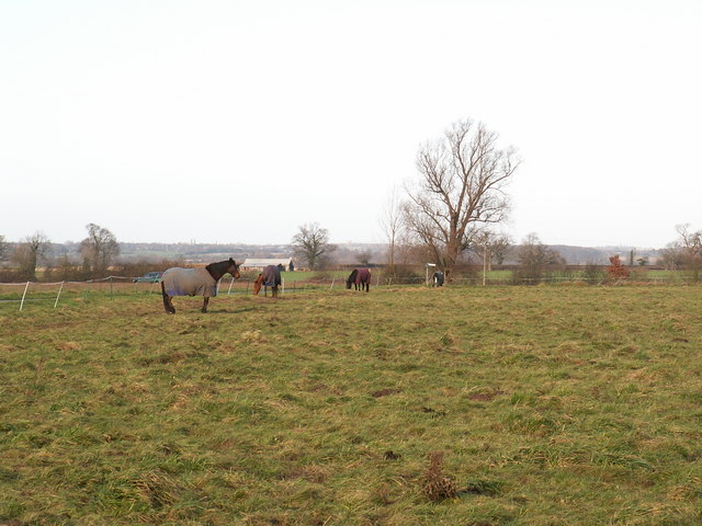
The moorland in Redgrave Park is a haven for wildlife enthusiasts. It is home to several rare and protected species, such as the silver-studded blue butterfly and the nightjar bird. The moorland is also dotted with heather, which adds a splash of vibrant purple to the landscape, particularly in the summer months.
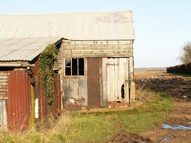
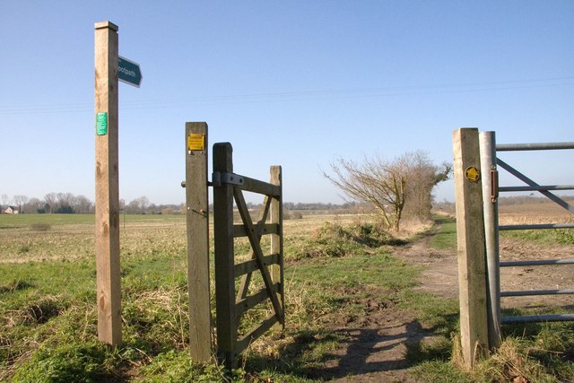
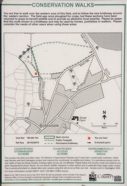
Redgrave Park offers a range of recreational activities for visitors. There are designated trails and footpaths for walking and hiking, allowing visitors to explore the park at their own pace. Additionally, the park has picnic areas where visitors can relax and enjoy a meal amidst the tranquil surroundings.
Nature lovers and birdwatchers will find Redgrave Park particularly appealing. The park is a designated Site of Special Scientific Interest (SSSI) due to its rich biodiversity. Bird hides are strategically placed throughout the park, providing a perfect vantage point for observing and identifying various bird species.
Overall, Redgrave Park in Suffolk is a stunning natural reserve that offers a unique blend of downs and moorland landscapes. With its diverse ecosystems and abundant wildlife, the park is an ideal destination for nature enthusiasts and those seeking a peaceful retreat in the heart of the Suffolk countryside.
If you have any feedback on the listing, please let us know in the comments section below.
Redgrave Park Images
Images are sourced within 2km of 52.353771/1.0249161 or Grid Reference TM0677. Thanks to Geograph Open Source API. All images are credited.
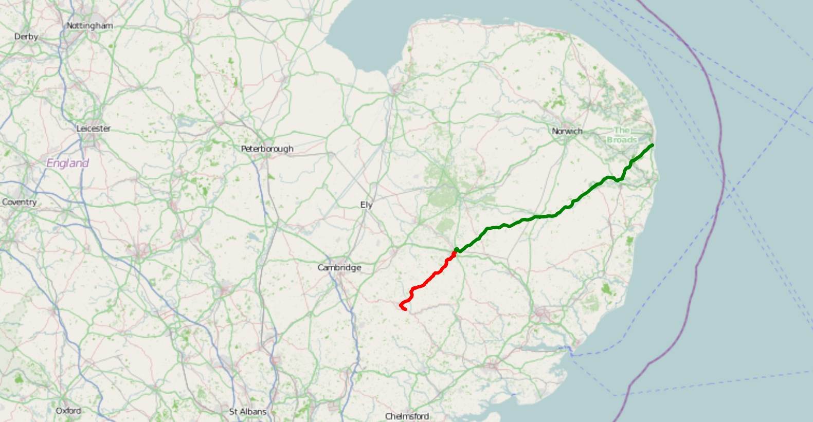
Redgrave Park is located at Grid Ref: TM0677 (Lat: 52.353771, Lng: 1.0249161)
Administrative County: Suffolk
District: Mid Suffolk
Police Authority: Suffolk
What 3 Words
///intruded.dynasties.trials. Near Botesdale, Suffolk
Nearby Locations
Related Wikis

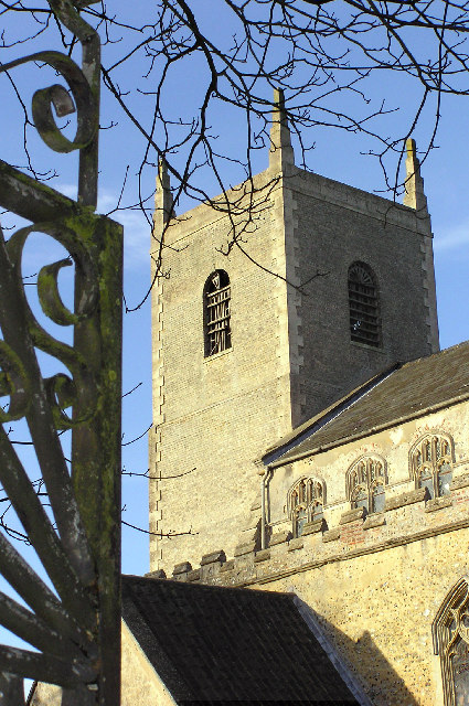
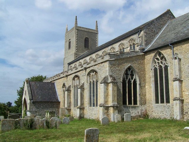
St Mary's Church, Redgrave
St Mary's Church is the redundant Church of England parish church of the village of Redgrave, Suffolk, England. It is a Grade I listed building. and is...
A143 road
The A143 is a road that runs from the Gorleston-on-Sea area of Great Yarmouth, in Norfolk to Haverhill in Suffolk. For much of the route (between Gorleston...
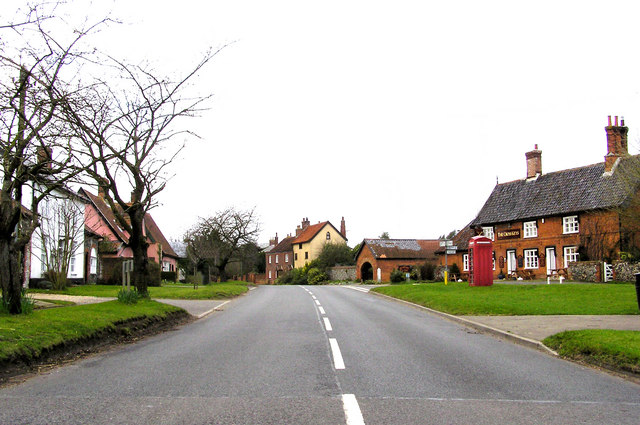
Redgrave, Suffolk
Redgrave is a village and civil parish in Suffolk, England, just south of the River Waveney that here forms the county boundary with Norfolk. The village...

Wortham, Suffolk
Wortham is a village and parish in Suffolk, England, close to the border with Norfolk. Its church, St Mary the Virgin, lies about a mile north of the present...

St Botolph's Chapel, Botesdale
St Botolph's Chapel is located in Botesdale, Suffolk. Built as a chapel of ease for the parish church of St Mary's Church, Redgrave, it now serves as the...

Burgate Wood
Burgate Wood is a 29.9-hectare (74-acre) biological Site of Special Scientific Interest in Suffolk. The site includes a medieval ringwork which is a Scheduled...

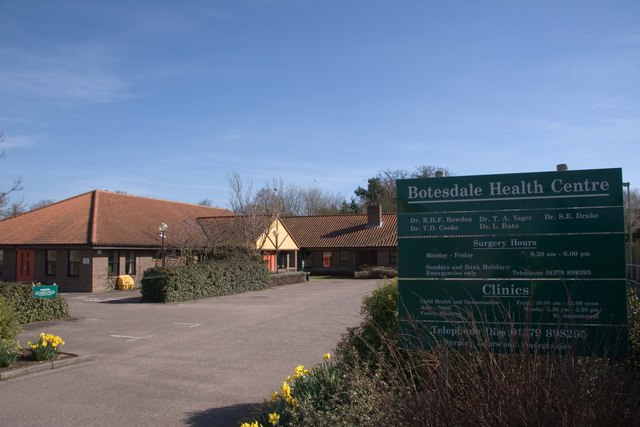
Botesdale
Botesdale is a village and civil parish in the Mid Suffolk district of the English county of Suffolk. The village is about 6 miles (10 km) south west of...

Burgate
Burgate is a small village and civil parish in the Mid Suffolk district of Suffolk, England, about 5 miles (8 km) south-west of Diss in Norfolk. The church...
Nearby Amenities
Located within 500m of 52.353771,1.0249161Have you been to Redgrave Park?
Leave your review of Redgrave Park below (or comments, questions and feedback).